Broughty Ferry
Settlement in Angus
Scotland
Broughty Ferry

Broughty Ferry is a charming coastal town located in the county of Angus, Scotland. Situated on the eastern bank of the River Tay, it is just a few miles northeast of Dundee. Broughty Ferry has a population of around 13,000 people and is known for its picturesque beaches, historical landmarks, and vibrant community.
The town's history dates back to the 15th century when it served as a fishing village and later became a popular holiday destination for wealthy Dundee residents. Today, Broughty Ferry maintains its traditional charm with its well-preserved Victorian and Edwardian architecture. The town center is bustling with a variety of shops, cafes, and restaurants, offering a range of local and international cuisines.
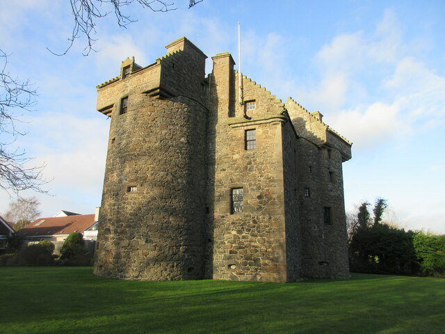
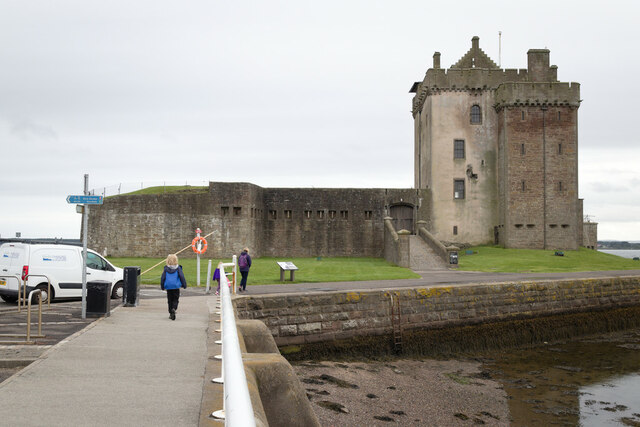
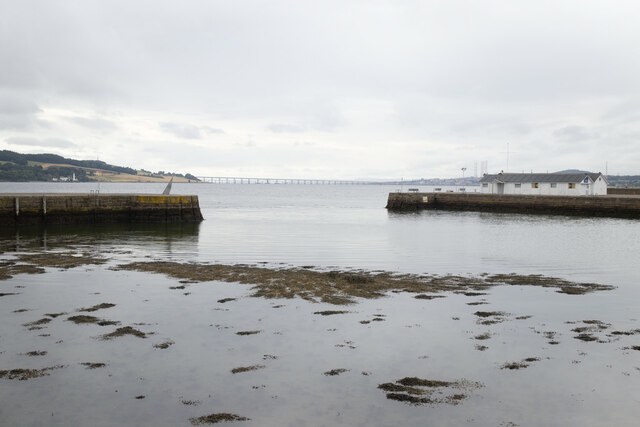
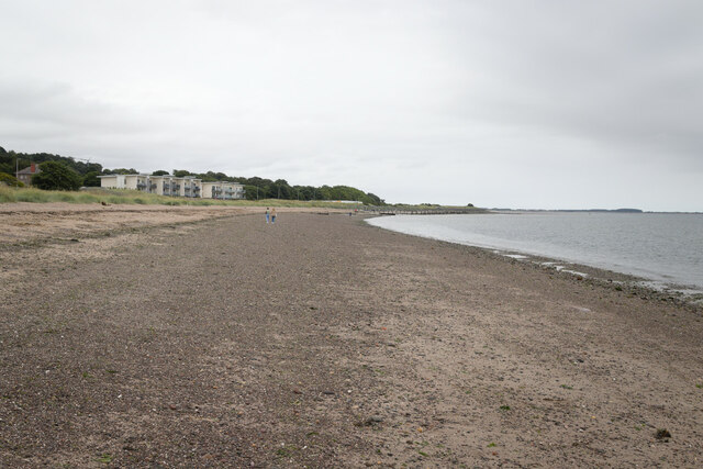
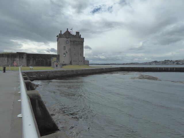
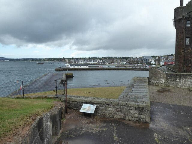
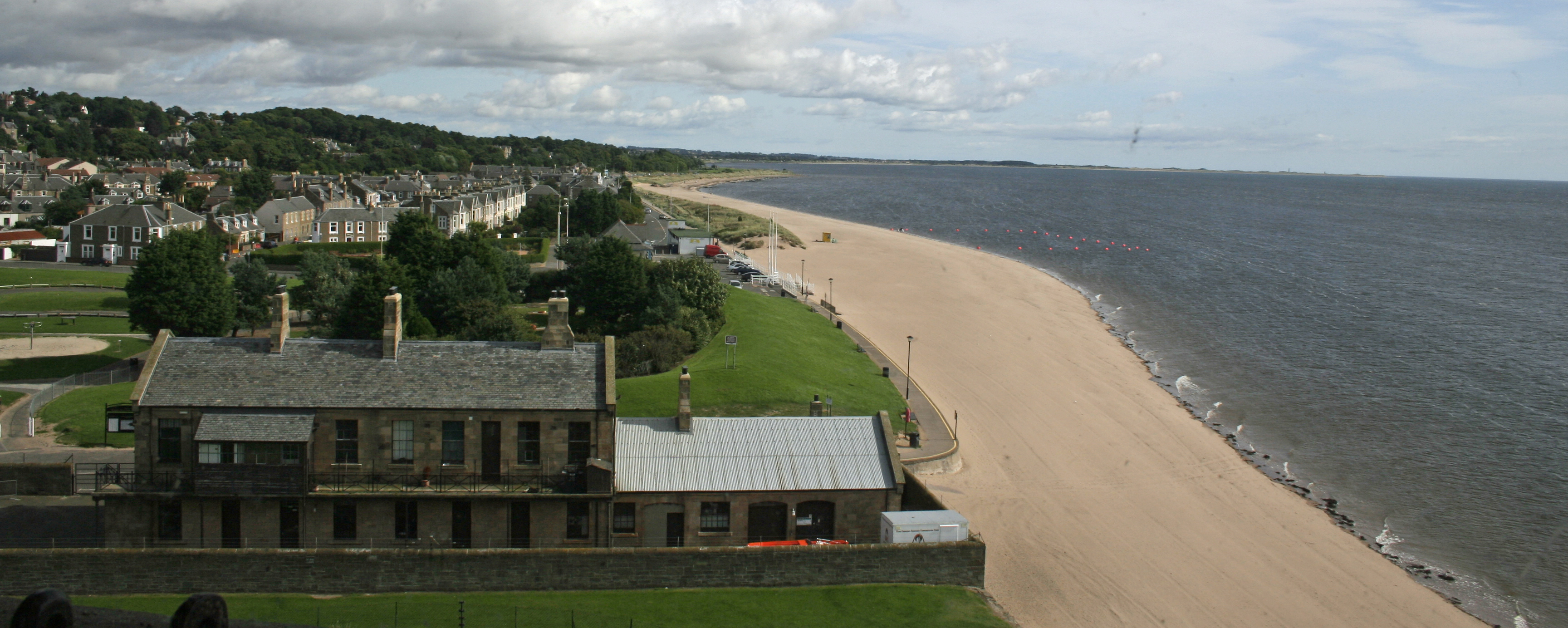
One of the main attractions in Broughty Ferry is its stunning beach, which stretches along the Tay estuary. Visitors can enjoy a leisurely stroll along the promenade, relax on the sandy shores, or take part in various water sports activities. The town also boasts a well-preserved castle, Broughty Castle, which dates back to the 15th century and now serves as a museum showcasing the area's maritime history.
Broughty Ferry is renowned for its strong sense of community, with numerous events and festivals held throughout the year. The annual Broughty Ferry Gala Week attracts locals and tourists alike, offering a week-long celebration of music, art, sports, and family-friendly activities.
With its scenic beauty, rich history, and vibrant community spirit, Broughty Ferry is a delightful destination for visitors seeking a mix of relaxation, culture, and seaside charm.
If you have any feedback on the listing, please let us know in the comments section below.
Broughty Ferry Images
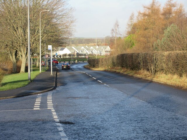
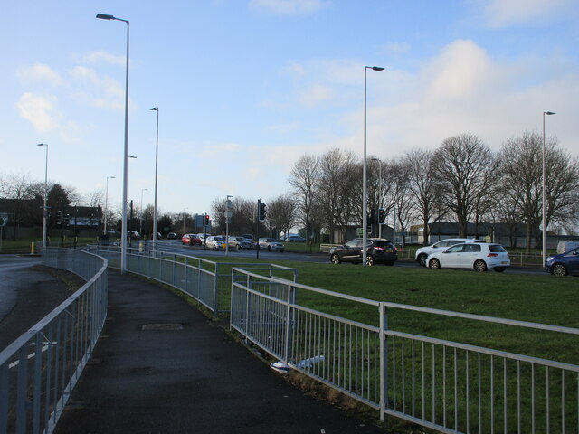
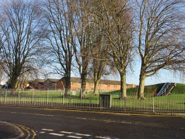
Images are sourced within 2km of 56.467372/-2.8760624 or Grid Reference NO4630. Thanks to Geograph Open Source API. All images are credited.


Broughty Ferry is located at Grid Ref: NO4630 (Lat: 56.467372, Lng: -2.8760624)
Unitary Authority: City of Dundee
Police Authority: Tayside
What 3 Words
///joke.shave.finishing. Near Tayport, Fife
Nearby Locations
Related Wikis
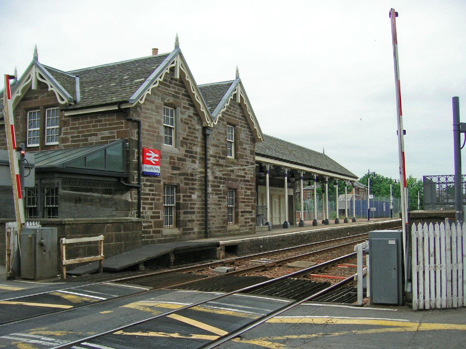
Broughty Ferry railway station
Broughty Ferry railway station is a railway station serving the suburb of Broughty Ferry in Dundee, Scotland. It is sited 3 miles 38 chains (5.6 km) from...
Broughty Ferry
Broughty Ferry (; Scottish Gaelic: Bruach Tatha; Scots: Brochtie) is a suburb of Dundee, Scotland. It is situated four miles east of the city centre on...

Grove Academy
Grove Academy is an 11–18 mixed secondary school in Broughty Ferry, Dundee, Scotland. == History == Grove Academy was established in 1889. In 2007, construction...
Broughty Ferry Pier railway station
Broughty Ferry Pier railway station served the suburb of Broughty Ferry, Dundee, Scotland from 1848 to 1887 on the Dundee and Arbroath Railway. == History... ==
Nearby Amenities
Located within 500m of 56.467372,-2.8760624Have you been to Broughty Ferry?
Leave your review of Broughty Ferry below (or comments, questions and feedback).