Netherton
Civil Parish in Worcestershire Wychavon
England
Netherton
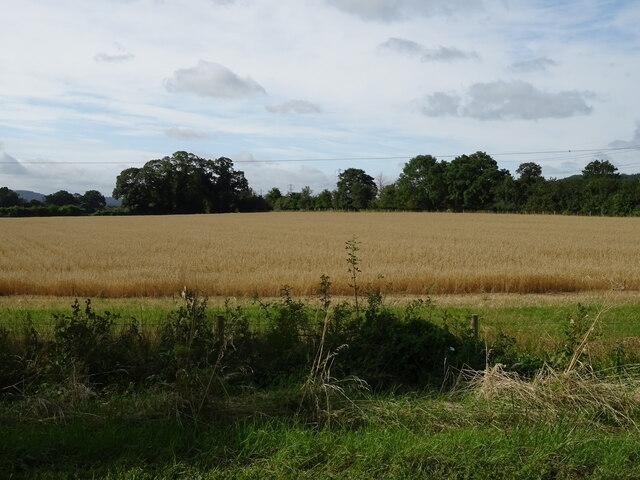
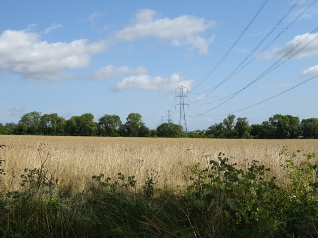
Netherton is a civil parish located in the district of Worcestershire, England. Situated approximately 3 miles east of Dudley, the parish covers an area of around 2 square miles. Netherton is surrounded by several other parishes, including Woodside, Rowley Regis, and Brierley Hill.
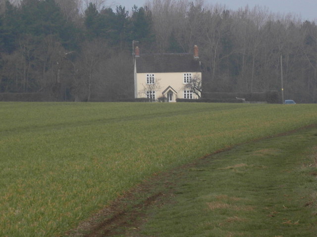
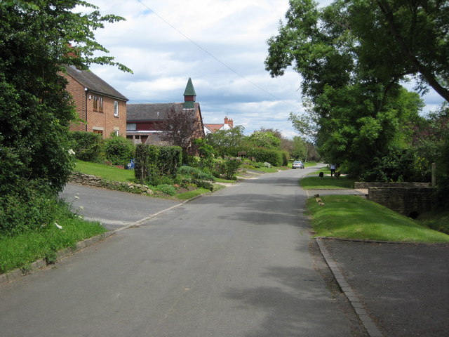
The area is primarily residential, with a mix of housing types ranging from detached houses to terraced properties. Netherton is known for its close-knit community and friendly atmosphere. The parish is home to a range of amenities, including schools, shops, and recreational facilities.
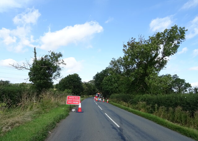
Netherton benefits from its proximity to the larger town of Dudley, which provides residents with additional services and entertainment options. The area is well-connected to neighboring towns and cities through a network of roads, including the A461 and the A4100.
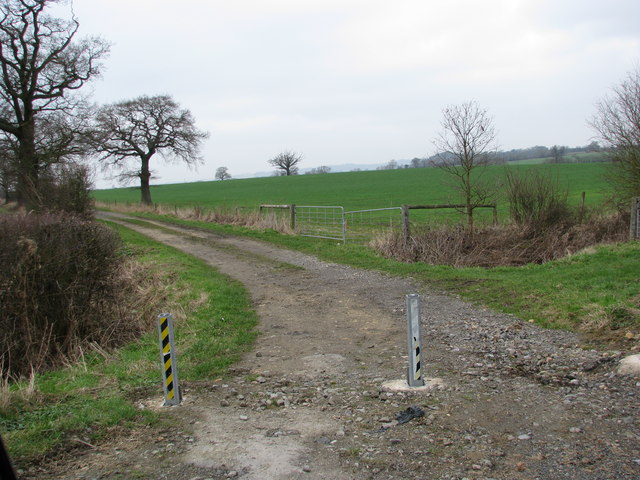
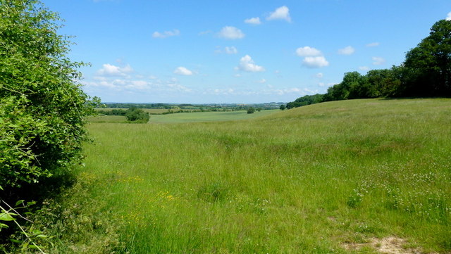
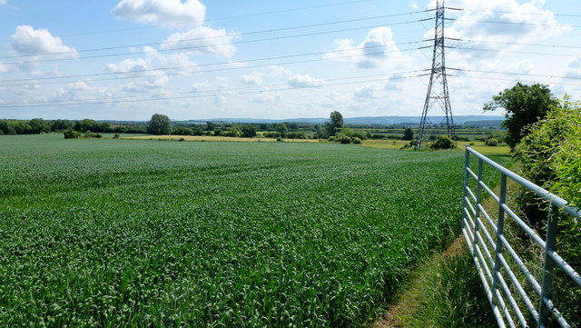
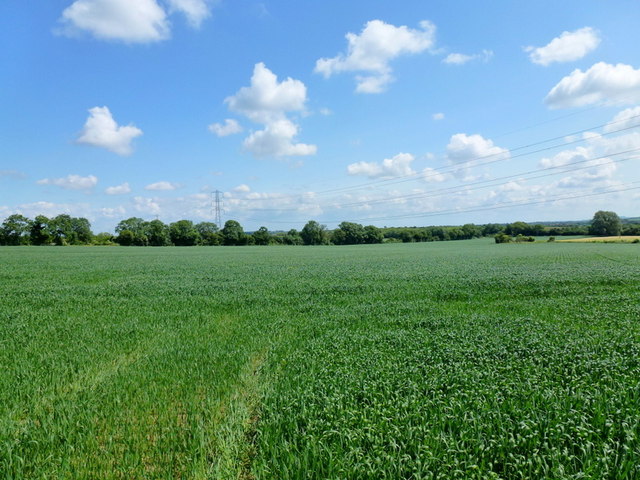
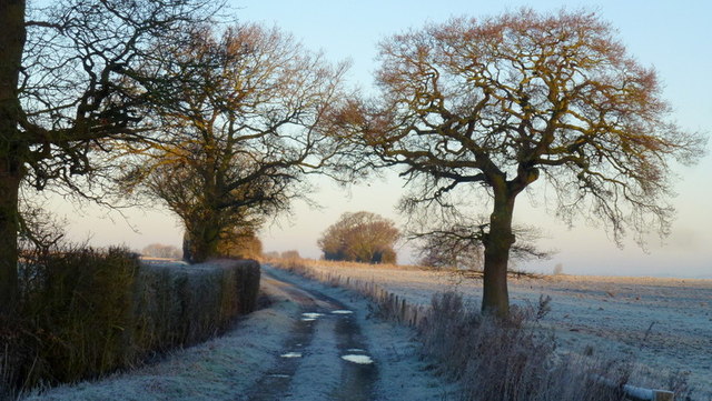
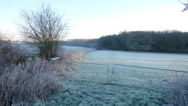
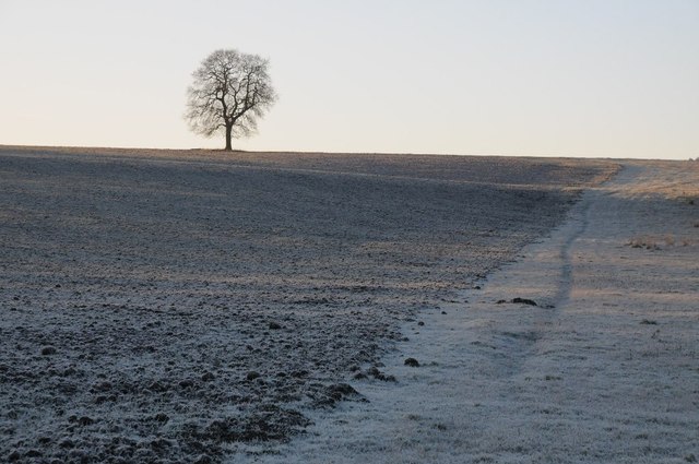
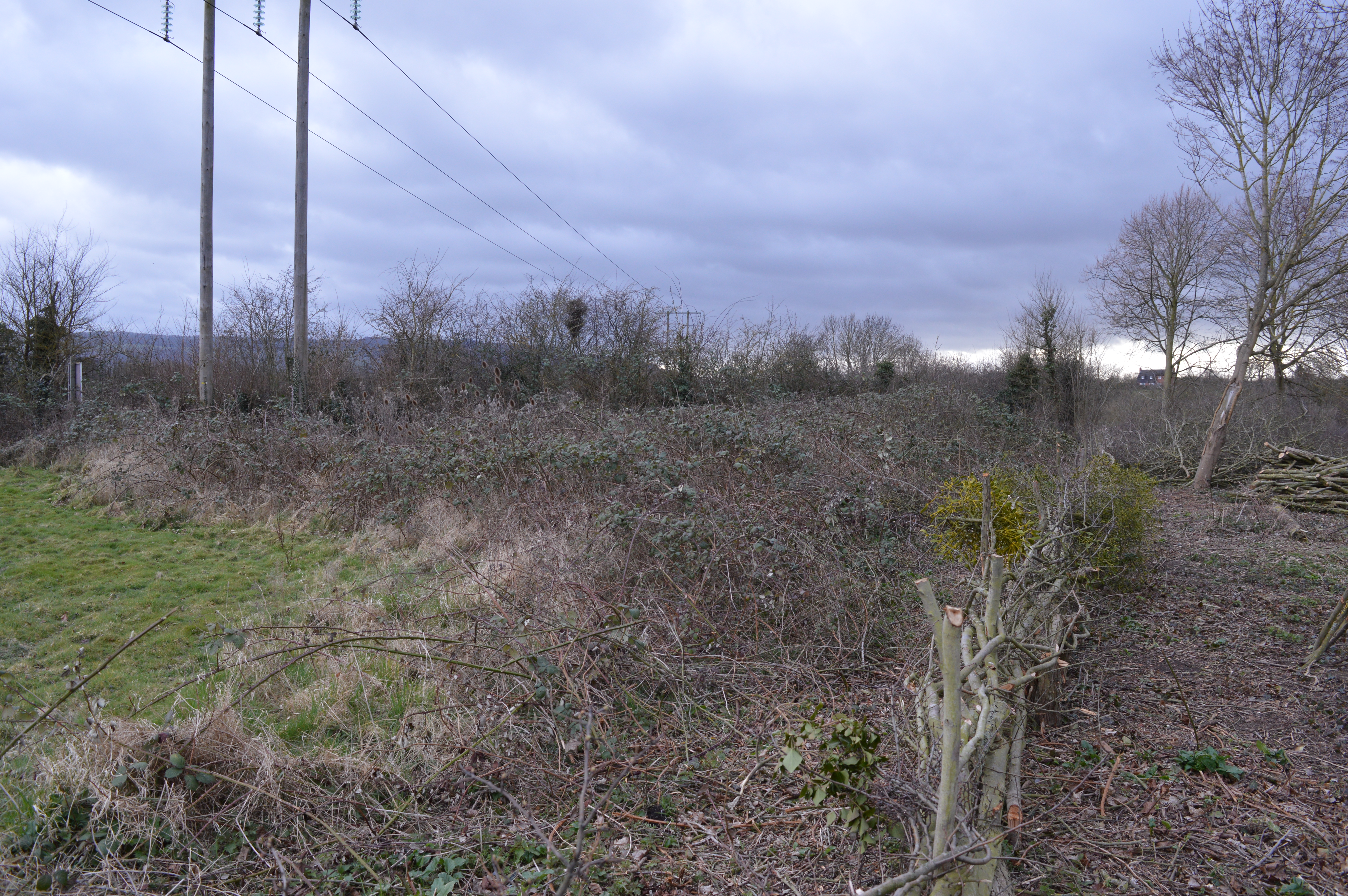
The parish boasts several green spaces, providing residents with opportunities for outdoor activities. Marsh Park is a popular destination for locals, offering open fields, playgrounds, and sports facilities. The nearby Netherton Reservoirs are also a favorite spot for fishing enthusiasts.
Netherton has a rich history, with evidence of human habitation dating back to the Bronze Age. The area has undergone significant development over the years and continues to evolve, while retaining its community spirit and charm.
If you have any feedback on the listing, please let us know in the comments section below.
Netherton Images
Images are sourced within 2km of 52.074787/-2.006388 or Grid Reference SO9941. Thanks to Geograph Open Source API. All images are credited.


Netherton is located at Grid Ref: SO9941 (Lat: 52.074787, Lng: -2.006388)
Administrative County: Worcestershire
District: Wychavon
Police Authority: West Mercia
What 3 Words
///uppermost.expires.online. Near Evesham, Worcestershire
Related Wikis

Netherton, Worcestershire
Netherton is a hamlet with population of 50 living in 20 households. It is part of the civil parish of Elmley Castle, Bricklehampton & Netherton in...

Elmley Castle
Elmley Castle is a village and civil parish in Worcestershire, in England, United Kingdom. It is located on the north side of Bredon Hill 3 miles south...
Bricklehampton
Bricklehampton is a village and civil parish in Worcestershire, England. In the 2021 census the population of the parish was recorded as 236. Its area...

Kersoe
Kersoe is a hamlet in Worcestershire, England. It is at the foot of Bredon Hill an area of outstanding natural beauty.

Elmley Castle (castle)
Elmley Castle was a late 11th-century earthwork and timber castle which received stone additions in the 12th and possibly 13th centuries, located 0.5 miles...
Cropthorne New Inn Section
Cropthorne New Inn Section is a 0.12-hectare (0.30-acre) geological Site of Special Scientific Interest in Cropthorne in Worcestershire. It is a Geological...

Hinton railway station (England)
Hinton railway station was a station on the Midland Railway between Tewkesbury and Evesham, England. It opened 1 October 1864 by the Midland Railway. The...

Cropthorne
Cropthorne is a village and civil parish in Worcestershire, England within the Vale of Evesham, and on the North-west edge of the Cotswolds. It is approximately...
Nearby Amenities
Located within 500m of 52.074787,-2.006388Have you been to Netherton?
Leave your review of Netherton below (or comments, questions and feedback).