Netherton

Settlement in Worcestershire Wychavon

England

Netherton

Track to Furzehill Farm
Track to Furzehill Farm Credit: Sarah Charlesworth

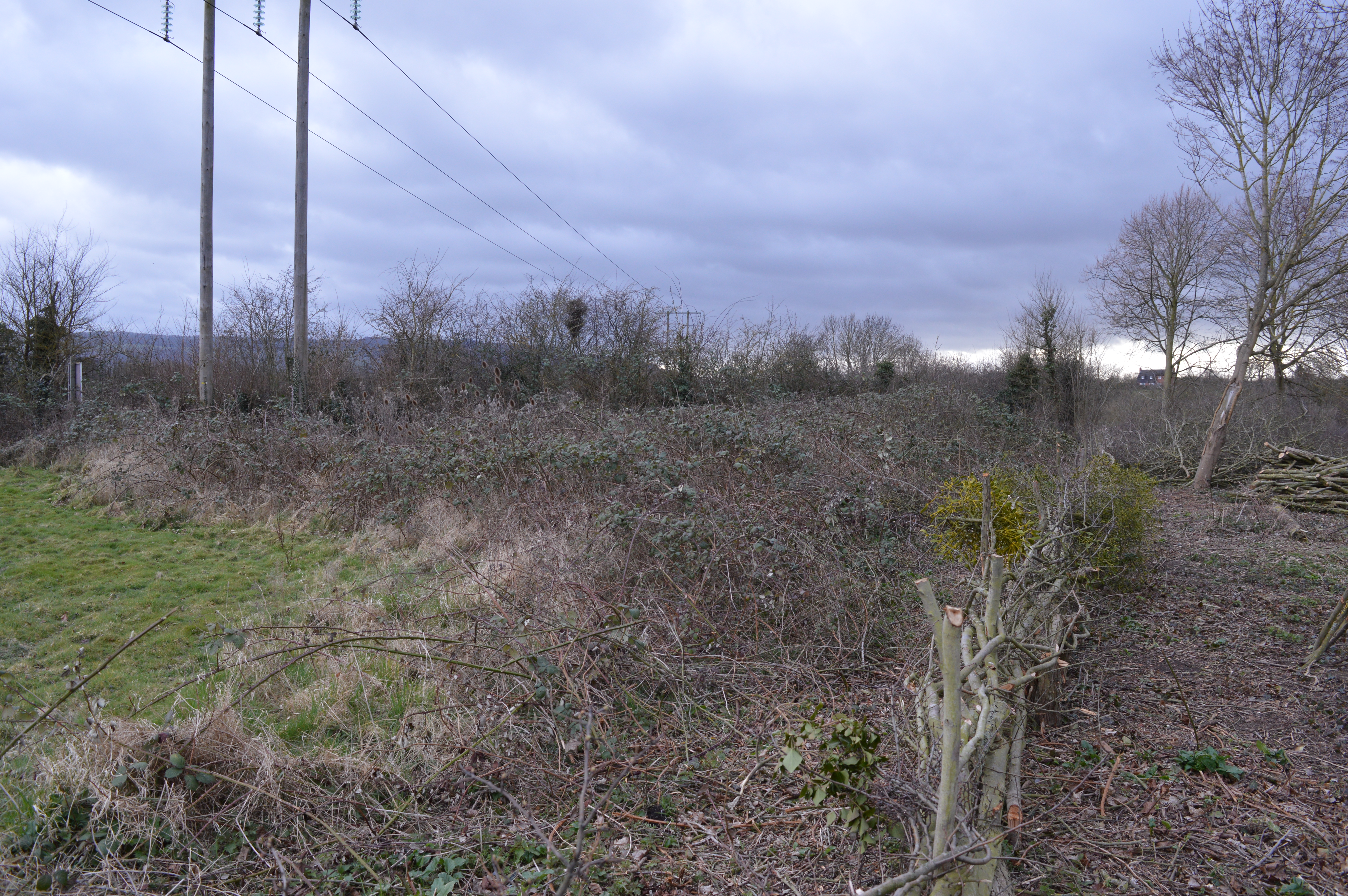
Netherton is a small village located in the county of Worcestershire, England. Situated approximately 12 miles southwest of the city of Birmingham, it is a part of the metropolitan borough of Dudley. Netherton is surrounded by picturesque countryside, with the Clent Hills and the Waseley Hills Country Park just a short distance away.

The village itself has a rich history, dating back to medieval times. It was originally an agricultural settlement, with farming being the primary occupation of its inhabitants. Over the years, Netherton evolved into a residential area, with a mix of traditional and modern housing.

Netherton offers a range of amenities to its residents. The village has a primary school, a post office, a medical center, and several local shops and businesses. There are also several parks and green spaces, providing opportunities for outdoor recreation and leisure activities.

Transport links in Netherton are well established. The village is served by regular bus services, connecting it to neighboring towns and cities. The nearby M5 motorway also provides convenient access to other parts of the country.

Netherton is known for its strong sense of community. The village hosts various events throughout the year, including fairs, festivals, and local gatherings. It also has a number of community organizations and clubs, offering opportunities for social engagement and participation.

Overall, Netherton is a charming village with a rich history, beautiful surroundings, and a close-knit community. It offers a peaceful and scenic living environment while also benefiting from its proximity to larger urban centers.

If you have any feedback on the listing, please let us know in the comments section below.
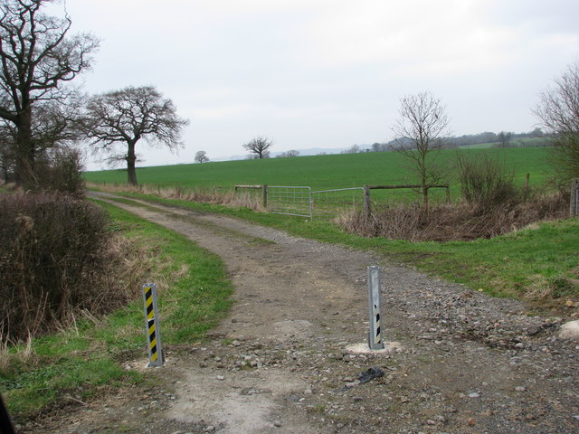
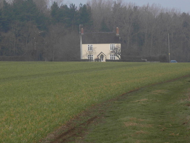
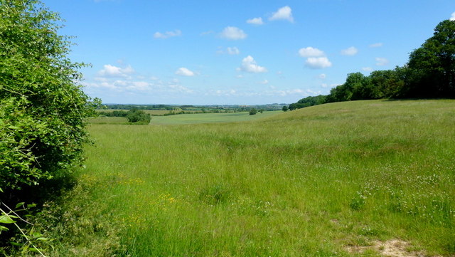
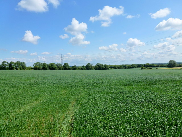
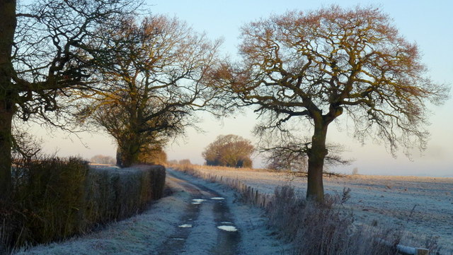
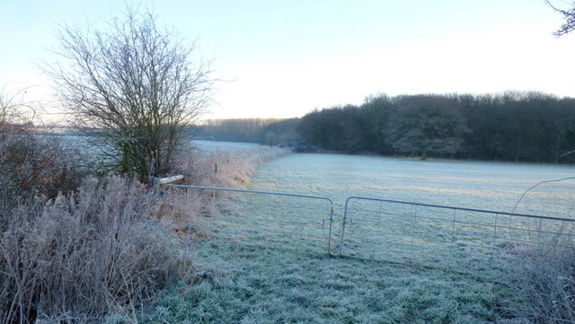
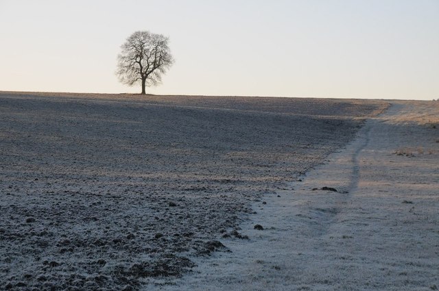
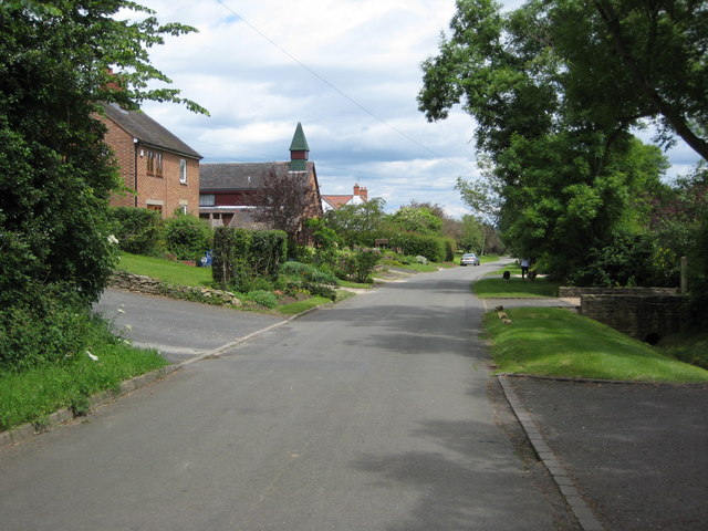
Netherton Images

Images are sourced within 2km of 52.072378/-2.0144563 or Grid Reference SO9941. Thanks to Geograph Open Source API. All images are credited.

Track to Furzehill Farm
Furzehill Farm farmhouse
Footpath to Cropthorne The uncut grassland is bordered by Haselor Hill to the right.
Footpath to Cropthorne
The uncut grassland is bordered by Haselor Hill to the right.
Arable land, Vale of Evesham Looking north on a fine June morning.
Arable land, Vale of Evesham
Looking north on a fine June morning.
The Salt Way A bridleway section north from the winding lane between Elmley Castle and Ashton.
These ancient routes centred upon Droitwich and radiate out to ports and centres of population, in this case to Lechlade where it could be transported to London on the Thames.
The Salt Way
A bridleway section north from the winding lane between Elmley Castle and Ashton. These ancient routes centred upon Droitwich and radiate out to ports and centres of population, in this case to Lechlade where it could be transported to London on the Thames.
Edge of Furzehill Brake Looking across frosty fields from the Elmley to Ashton road.
Edge of Furzehill Brake
Looking across frosty fields from the Elmley to Ashton road.
Tree in a frozen landscape A tree on the horizon in a frosted landscape near the hamlet of Kersoe.
Tree in a frozen landscape
A tree on the horizon in a frosted landscape near the hamlet of Kersoe.
Bridleway off National Cycle Route 41
Cereal crop near Upper Haselor
National Cycle Route 442 Towards Elmley Castle.
National Cycle Route 442
Towards Elmley Castle.
Bridleway ascending Bredon Hill Bredon Hill, 299 m (981 ft), is in South Worcestershire, it is geologically part of the Cotswolds but stands isolated in the Vale of Evesham.
There is a small stone tower on the summit called Parsons Folly, along with the remains of an Iron Age hill fort known as Kemerton Camp, abandoned in the 1st century AD.
Bridleway ascending Bredon Hill
Bredon Hill, 299 m (981 ft), is in South Worcestershire, it is geologically part of the Cotswolds but stands isolated in the Vale of Evesham. There is a small stone tower on the summit called Parsons Folly, along with the remains of an Iron Age hill fort known as Kemerton Camp, abandoned in the 1st century AD.
Woods Looking East towards the woods in the centre of the square. Taken from the bridle path on the West of the square.
Woods
Looking East towards the woods in the centre of the square. Taken from the bridle path on the West of the square.
Bend and Bredon Hill Looking west from the Haselor Lane junction towards Elmley Castle and Bredon Hill
Bend and Bredon Hill
Looking west from the Haselor Lane junction towards Elmley Castle and Bredon Hill
Haselor Hill Looking north-west towards Haselor Hill from a bridlepath running between Smokey Farm and the Hinton-Elmley road
Haselor Hill
Looking north-west towards Haselor Hill from a bridlepath running between Smokey Farm and the Hinton-Elmley road
Junction of Haselor Lane The sun sets over Bredon Hill on the first day of British Summer Time.
Junction of Haselor Lane
The sun sets over Bredon Hill on the first day of British Summer Time.
Furzehill Brake Looking towards Bredon Hill from the southern end of Haselor Lane. The signs are up for the blossom trail, a route around Evesham designed to show off, and make a tourist attraction from, the traditional fruit growing nature of the area.
Furzehill Brake
Looking towards Bredon Hill from the southern end of Haselor Lane. The signs are up for the blossom trail, a route around Evesham designed to show off, and make a tourist attraction from, the traditional fruit growing nature of the area.
The Blossom Trail The southern end of Haselor Lane, looking West towards Bredon Hill. The only blossom to be seen at the moment is the blackthorn in the hedgerows.
The Blossom Trail
The southern end of Haselor Lane, looking West towards Bredon Hill. The only blossom to be seen at the moment is the blackthorn in the hedgerows.
Field between the road and Furzehill Brake
Show me another place!

Netherton is located at Grid Ref: SO9941 (Lat: 52.072378, Lng: -2.0144563)

Administrative County: Worcestershire

District: Wychavon

Police Authority: West Mercia

What 3 Words

///with.veto.removable. Near Evesham, Worcestershire

Nearby Locations

Netherton Netherton

Related Wikis

Netherton, Worcestershire

Netherton is a hamlet with population of 50 living in 20 households. It is part of the civil parish of Elmley Castle, Bricklehampton & Netherton in...

Elmley Castle

Elmley Castle is a village and civil parish in Worcestershire, in England, United Kingdom. It is located on the north side of Bredon Hill 3 miles south...

Bricklehampton

Bricklehampton is a village and civil parish in Worcestershire, England. In the 2021 census the population of the parish was recorded as 236. Its area...

Kersoe

Kersoe is a hamlet in Worcestershire, England. It is at the foot of Bredon Hill an area of outstanding natural beauty.

Elmley Castle (castle)

Elmley Castle was a late 11th-century earthwork and timber castle which received stone additions in the 12th and possibly 13th centuries, located 0.5 miles...

Cropthorne New Inn Section

Cropthorne New Inn Section is a 0.12-hectare (0.30-acre) geological Site of Special Scientific Interest in Cropthorne in Worcestershire. It is a Geological...

Little Comberton

Little Comberton is a small village in Worcestershire, England. It is located 2.5 miles (4.0 km) to the southeast of Pershore. Little Comberton has a village...

Hinton railway station (England)

Hinton railway station was a station on the Midland Railway between Tewkesbury and Evesham, England. It opened 1 October 1864 by the Midland Railway. The...

Nearby Amenities

Located within 500m of 52.072378,-2.0144563
Netherton Turn (Bredon Hill)
Naptan AtcoCode: 2000G671014
Naptan Bearing: NW
Naptan BusStopType: CUS
Naptan CommonName: Netherton Turn (Bredon Hill)
Naptan Indicator: Adj
Naptan Landmark: Netherton Turn
Naptan NaptanCode: wocdpjpa
Naptan Street: Netherton Road
Naptan Verified: no
Source: naptan_import
Lat/Long: 52.069132/-2.0135094
Post Box
Collection Plate: (uncoded)
Collection Times: Mo-Fr 16:00; Sa 09:15
Historic Operator: Post Office
Note: Check in a few months (currently 2012-07) to see if Rm have updated collection plate.
Post Box Type: wall
Ref: WR10 231
Royal Cypher: VR
Royal Cypher Wikidata: Q33102356
Lat/Long: 52.0727134/-2.0147523
Netherton
Place: hamlet
Wikidata: Q2580092
Lat/Long: 52.0730615/-2.0139841
Barrier: stile
Lat/Long: 52.0716751/-2.0147051
Barrier: stile
Lat/Long: 52.072298/-2.01944
Barrier: stile
Lat/Long: 52.074355/-2.0136975
Barrier: stile
Lat/Long: 52.074942/-2.018393
Power: pole
Lat/Long: 52.0698388/-2.0203847
Power: pole
Lat/Long: 52.068434/-2.016936
Material: wood
Power: pole
Lat/Long: 52.068758/-2.0160797
Power: pole
Lat/Long: 52.0690622/-2.0170185
Power: pole
Lat/Long: 52.0693581/-2.0182872
Power: pole
Lat/Long: 52.0696034/-2.0193688
Material: wood
Power: pole
Lat/Long: 52.0691735/-2.009971
Material: wood
Power: pole
Lat/Long: 52.0690651/-2.0112685
Chapel Farm
Power: pole
Transformer: distribution
Voltage Primary: 11000
Lat/Long: 52.0728344/-2.0139755
Power: pole
Lat/Long: 52.0722669/-2.0137107
Power: pole
Lat/Long: 52.0715204/-2.0133358
Power: pole
Lat/Long: 52.0706489/-2.0130596
Power: pole
Lat/Long: 52.0697986/-2.0127866
Material: wood
Power: pole
Lat/Long: 52.0689612/-2.0125117
Material: wood
Power: pole
Lat/Long: 52.0689138/-2.0133432
Material: wood
Power: pole
Lat/Long: 52.0687761/-2.0156747
Elm Farm Cottage
Power: pole
Transformer: distribution
Voltage Primary: 11000
Lat/Long: 52.068868/-2.0141043
The data included in this document is from www.openstreetmap.org. The data is made available under ODbL.

Have you been to Netherton?

Leave your review of Netherton below (or comments, questions and feedback).