Neston
Civil Parish in Cheshire
England
Neston

Neston is a civil parish located in the county of Cheshire, England. Situated in the Wirral Peninsula, it lies to the west of the River Dee and is approximately 9 miles south of the city of Liverpool. The town has a population of around 15,000, making it a vibrant and bustling community.
Neston has a rich history, with evidence of human habitation dating back to the Stone Age. It was mentioned in the Domesday Book of 1086 as a small settlement with a church, and it gradually grew over the centuries. The town played a significant role in the salt industry during the medieval period, thanks to its proximity to the River Dee.
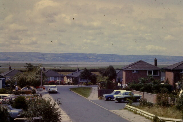
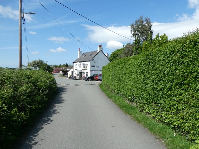
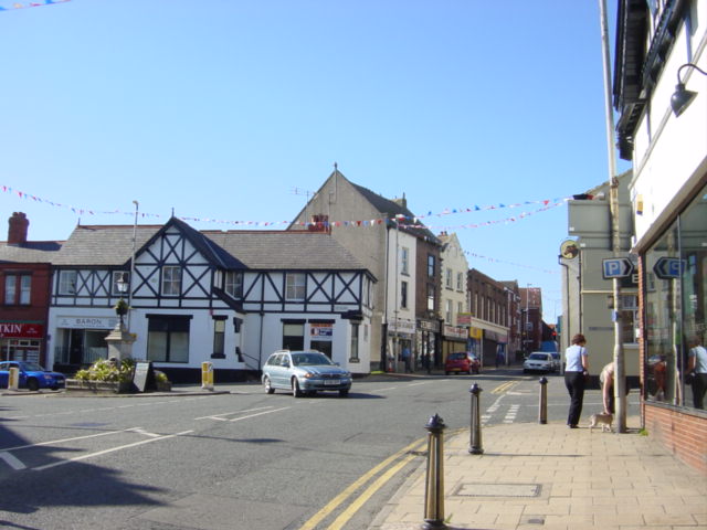
Today, Neston offers a range of amenities and attractions. The town center features a variety of local shops, cafes, and restaurants, providing residents and visitors with a vibrant retail and dining scene. The town also hosts a weekly market, which has been a tradition for over 100 years.
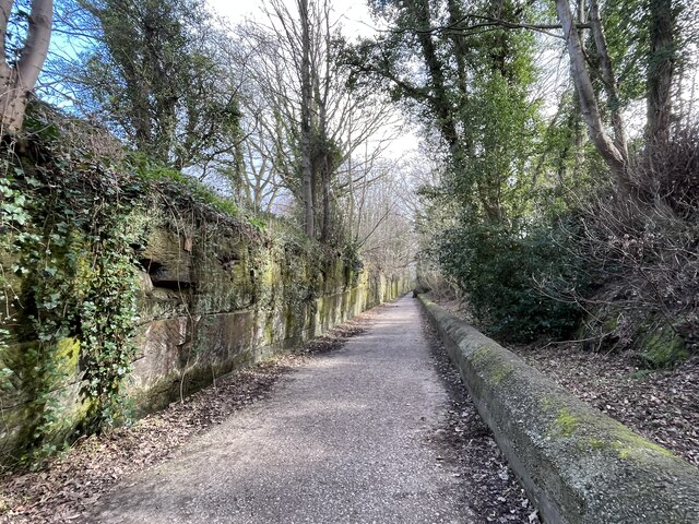
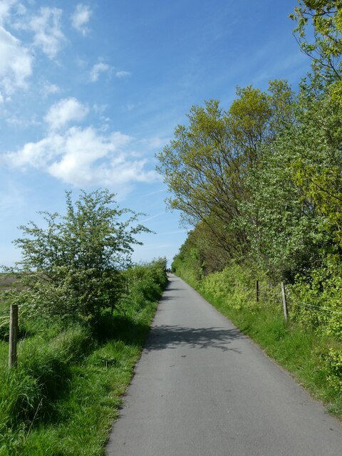
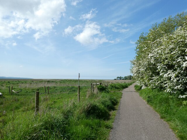
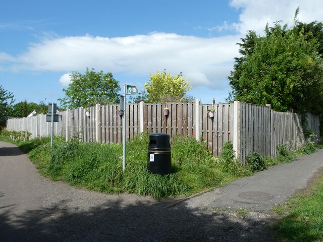
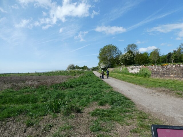
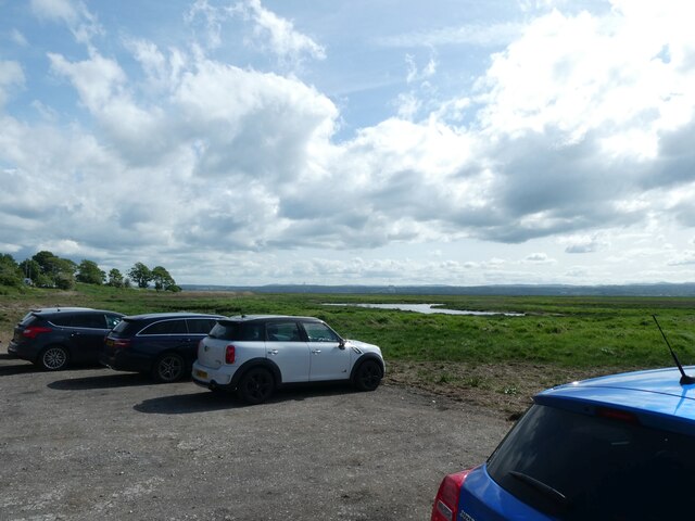
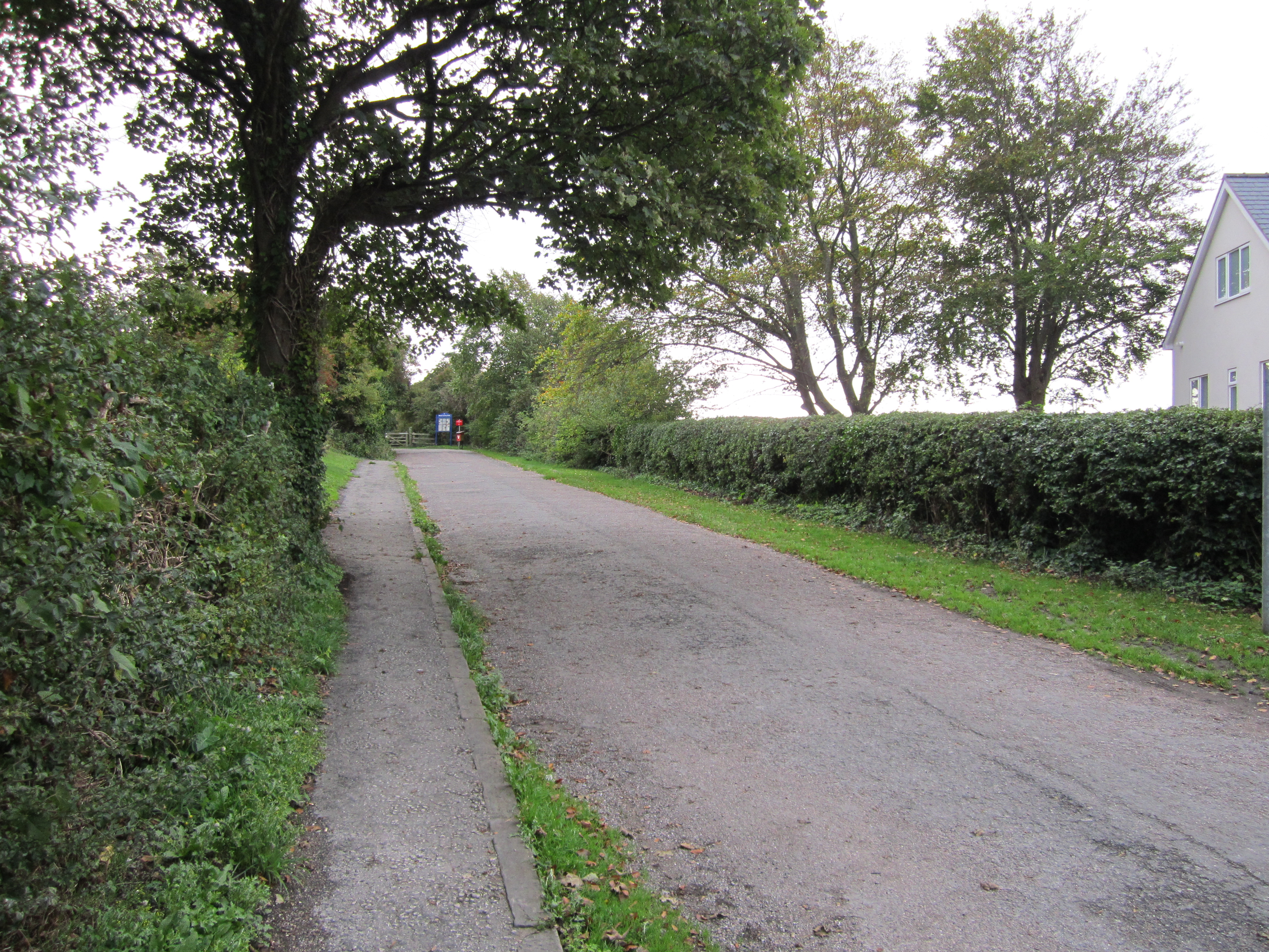
Neston is surrounded by picturesque countryside, making it an ideal location for outdoor activities such as walking, cycling, and birdwatching. The Wirral Way, a popular footpath and cycle route, passes through the town and offers stunning views of the Dee Estuary.
In terms of education, Neston has several primary schools and a secondary school, ensuring that residents have access to quality education facilities.
Overall, Neston is a charming town with a rich history, a thriving community, and plenty of amenities and attractions to offer its residents and visitors.
If you have any feedback on the listing, please let us know in the comments section below.
Neston Images
Images are sourced within 2km of 53.285111/-3.071638 or Grid Reference SJ2876. Thanks to Geograph Open Source API. All images are credited.


Neston is located at Grid Ref: SJ2876 (Lat: 53.285111, Lng: -3.071638)
Unitary Authority: Cheshire West and Chester
Police Authority: Cheshire
What 3 Words
///starch.adhesive.player. Near Neston, Cheshire
Nearby Locations
Related Wikis
Neston
Neston is a market town and civil parish on the Wirral Peninsula, in Cheshire, England. It is part of the unitary authority of Cheshire West and Chester...

Neston Urban District
Neston Urban District was an urban district in Cheshire, England and previously known as Neston and Parkgate Urban District (1894-1933). It was the local...
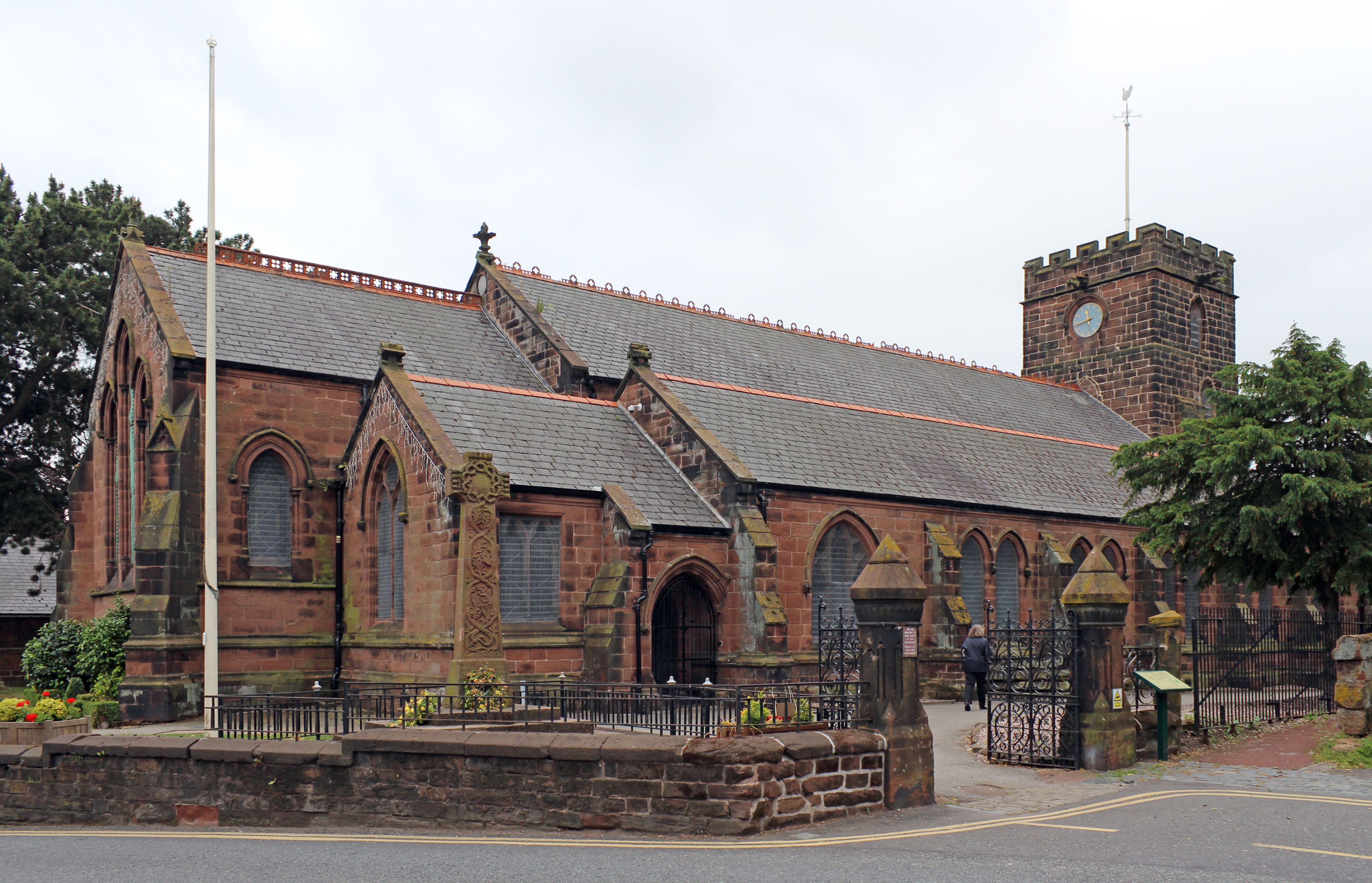
St Mary's and St Helen's Church, Neston
St Mary and St Helen Church is in the town of Neston, Cheshire, England. The church is recorded in the National Heritage List for England as a designated...
Neston Town Hall
Neston Town Hall is a municipal building on High Street, Neston, Cheshire, England. The structure accommodates the offices and the meeting place of Neston...
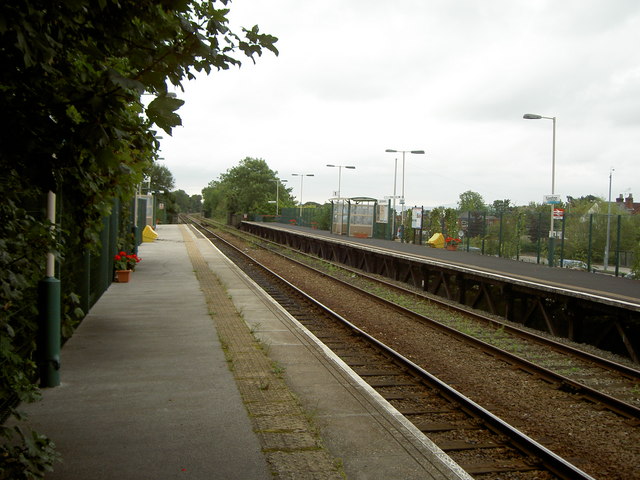
Neston railway station
Neston railway station serves the town of Neston, Cheshire, England. It is the southernmost station on the English part of the Borderlands Line before...
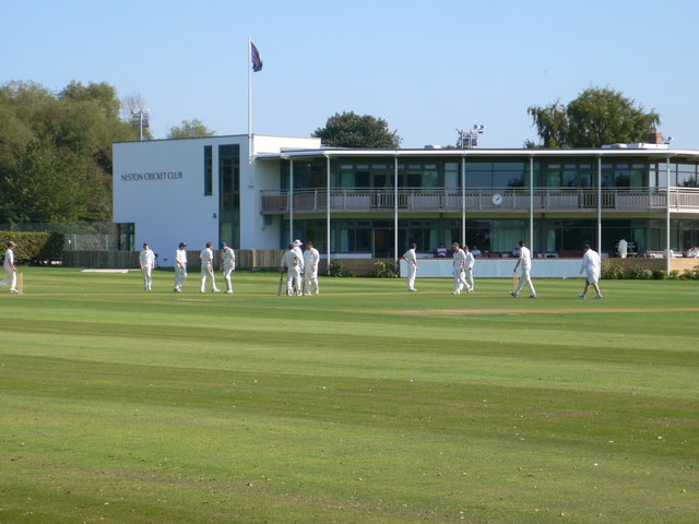
Parkgate Cricket Ground
Parkgate Cricket Ground is a cricket ground in Station Road, Parkgate, Cheshire. The ground, which is situated close to the bank of the River Dee, is mostly...

Neston South railway station
Neston South railway station was a station on the single track Hooton to West Kirby branch of the Birkenhead Railway, on the Wirral Peninsula, Cheshire...
Parkgate railway station
Parkgate railway station was a station on the single track Hooton to West Kirby branch of the Birkenhead Railway, on the Wirral Peninsula, Cheshire, England...
Nearby Amenities
Located within 500m of 53.285111,-3.071638Have you been to Neston?
Leave your review of Neston below (or comments, questions and feedback).