Navenby
Civil Parish in Lincolnshire North Kesteven
England
Navenby

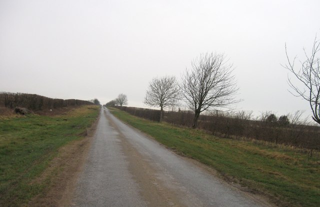
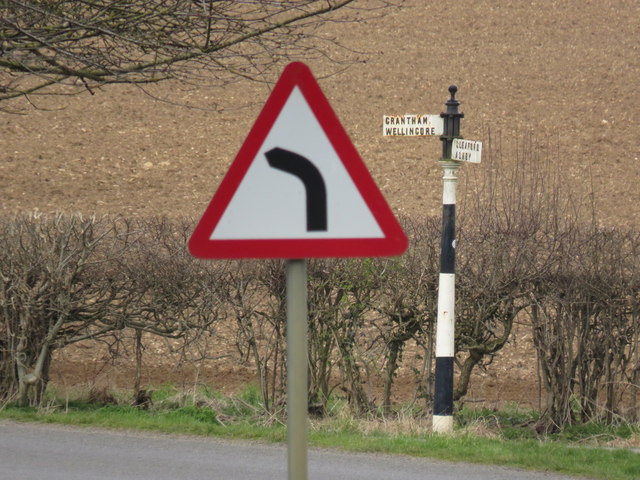
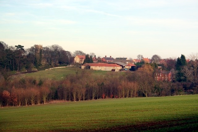
Navenby is a civil parish located in the county of Lincolnshire in England. It is situated approximately 9 miles south of the city of Lincoln and falls within the North Kesteven district. The village is nestled in a rural setting, surrounded by picturesque countryside and farmland.
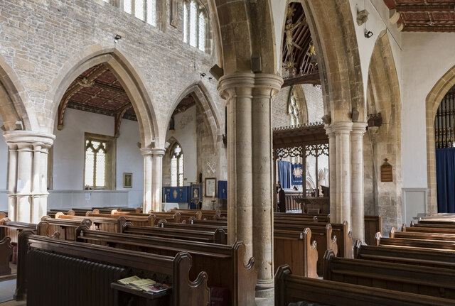
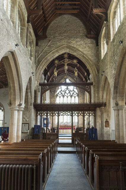
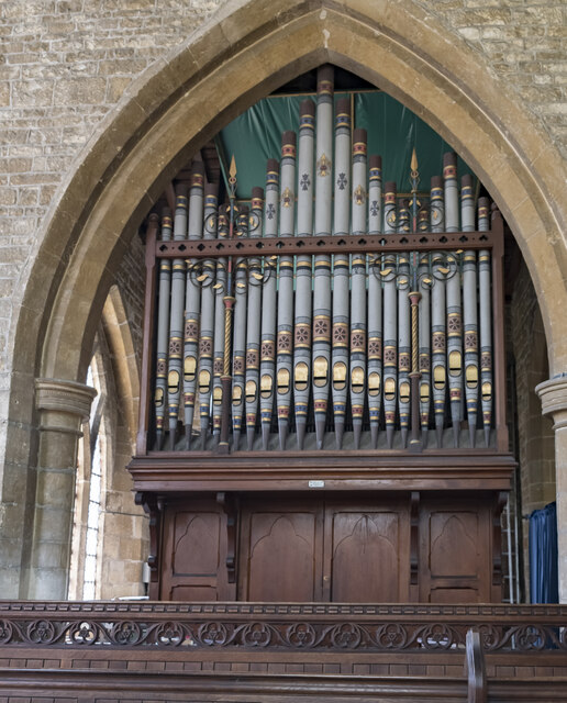
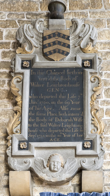
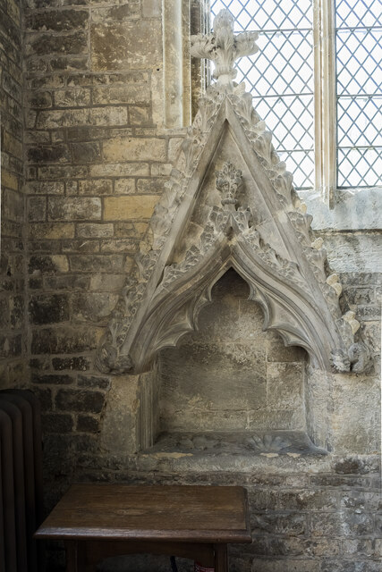
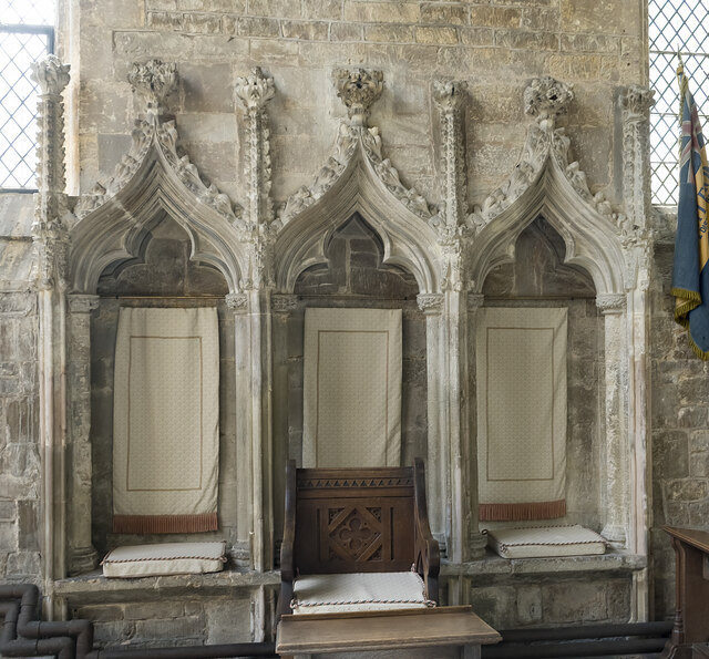
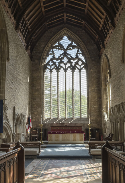
Navenby has a rich history, with evidence of settlement dating back to Roman times. The village grew in importance during the medieval period, and remnants of this era can still be seen today, including the Grade I listed All Saints' Church, which dates back to the 12th century.
The village itself is small but vibrant, with a population of around 2,000 residents. It offers a range of amenities, including a primary school, post office, convenience stores, and several pubs and restaurants. The community is active and close-knit, with various events and activities organized throughout the year, such as the annual Navenby Feast, which celebrates the village's heritage.
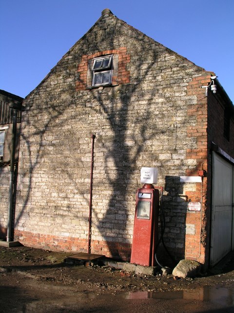
Navenby is also known for its charming architecture, with many traditional stone houses lining its streets. The village has managed to maintain its character and charm while also embracing modern developments, ensuring a comfortable and convenient living environment for its residents.
For those seeking outdoor activities, Navenby is surrounded by beautiful countryside, offering scenic walks and cycling routes. Additionally, the nearby Lincolnshire Wolds, an Area of Outstanding Natural Beauty, is easily accessible, providing further opportunities for exploration and outdoor recreation.
Overall, Navenby is a delightful village with a rich history, a strong community spirit, and a stunning natural environment, making it an attractive place to live or visit in Lincolnshire.
If you have any feedback on the listing, please let us know in the comments section below.
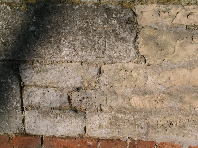
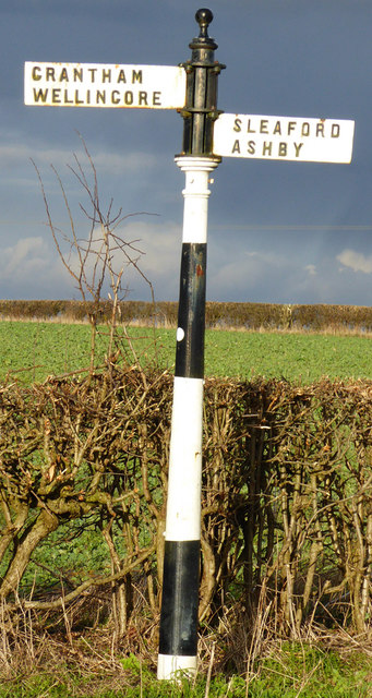
Navenby Images
Images are sourced within 2km of 53.107845/-0.515403 or Grid Reference SK9957. Thanks to Geograph Open Source API. All images are credited.


Navenby is located at Grid Ref: SK9957 (Lat: 53.107845, Lng: -0.515403)
Administrative County: Lincolnshire
District: North Kesteven
Police Authority: Lincolnshire
What 3 Words
///directly.jumped.slurping. Near Navenby, Lincolnshire
Nearby Locations
Related Wikis
Navenby
Navenby is a village and civil parish in the North Kesteven district of Lincolnshire, England. Lying 8 miles (13 km) south from Lincoln and 9 miles (14...

Wellingore
Wellingore is a village and civil parish in the North Kesteven district of Lincolnshire, England. The population of the civil parish at the 2011 census...

Boothby Graffoe
Boothby Graffoe is a village and civil parish in the North Kesteven district of Lincolnshire, England. The population of the civil parish at the 2011 census...
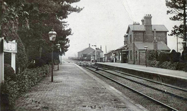
Navenby railway station
Navenby railway station was a railway station in Navenby, Lincolnshire on the Grantham and Lincoln railway line. The station closed for passengers in...
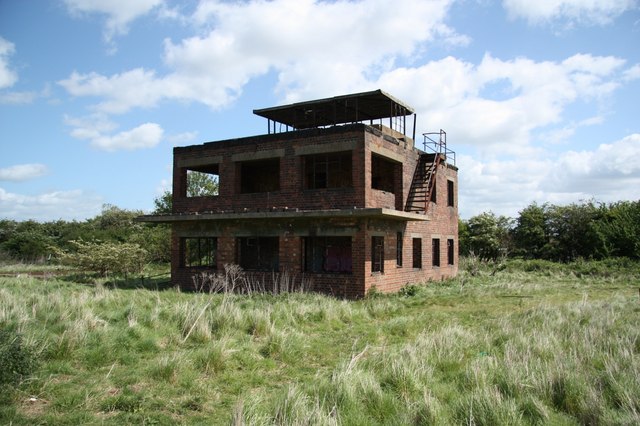
RAF Coleby Grange
Royal Air Force Coleby Grange or more simply RAF Coleby Grange was a Royal Air Force satellite station situated alongside the western edge of the A15 on...

Coleby, North Kesteven
Coleby is a village and civil parish in the North Kesteven district of Lincolnshire, England. It is situated on the A607, and approximately 6 miles (10...
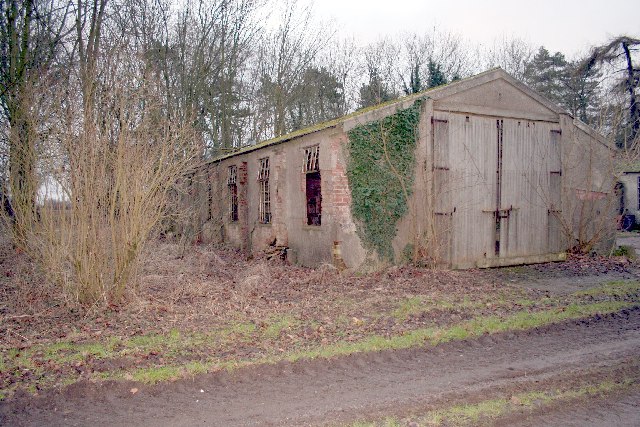
RAF Wellingore
Royal Air Force Wellingore or more simply RAF Wellingore is a former Royal Air Force fighter relief landing ground located 1.9 miles (3.1 km) south of...

Thompson's Bottom
Thompson's Bottom is a hamlet in the North Kesteven district of Lincolnshire, England. It is situated just under 0.5 miles (0.8 km) west from the A15 road...
Nearby Amenities
Located within 500m of 53.107845,-0.515403Have you been to Navenby?
Leave your review of Navenby below (or comments, questions and feedback).