Naunton Beauchamp

Civil Parish in Worcestershire Wychavon

England

Naunton Beauchamp

Footpath to North Piddle There are no roads through this square, just a couple of footpaths. There is one house on the western boundary, the rest is farmland, with a few lakes to the east of the square.
Footpath to North Piddle Credit: Philip Halling

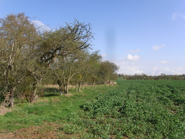
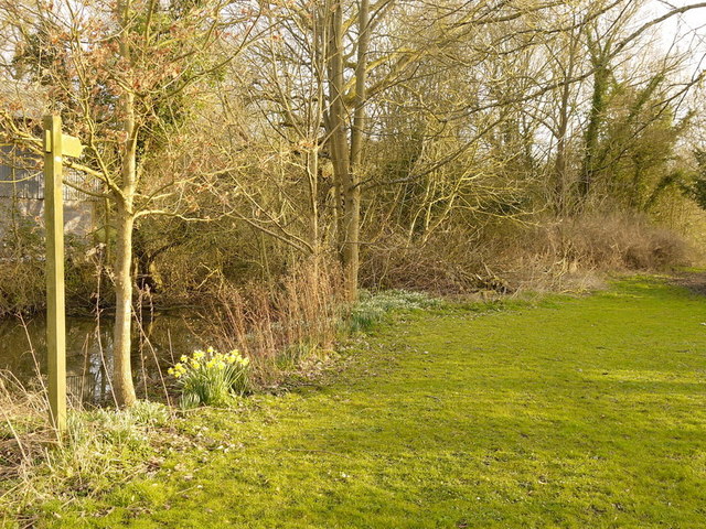
Naunton Beauchamp is a civil parish located in the county of Worcestershire, England. It is situated approximately 8 miles east of Worcester and covers an area of around 2.5 square miles. The parish is primarily rural, with a landscape characterized by gently rolling hills and agricultural fields.

The village of Naunton Beauchamp itself is small, with a population of around 300 people. It is a picturesque village, known for its charming cottages and well-maintained gardens. The parish is home to St. Bartholomew's Church, a Grade II listed building dating back to the 12th century. The church is a notable architectural landmark in the area and is often visited by history enthusiasts and tourists.

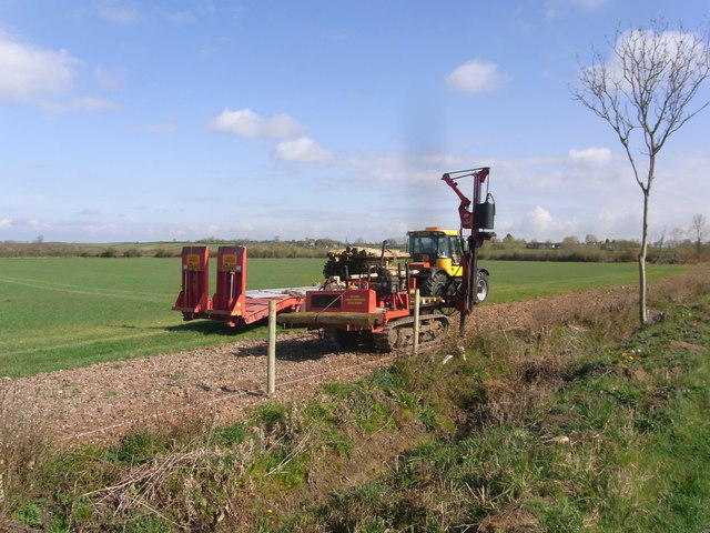
The economy of Naunton Beauchamp is primarily based on agriculture, with farming being the main occupation for many residents. The fertile soil and favorable climate in the region make it suitable for growing a variety of crops, including wheat, barley, and vegetables.

The village has a close-knit community and a strong sense of community spirit. There are several social and recreational activities that take place throughout the year, including village fairs, charity events, and sports tournaments. The parish also has a village hall, which serves as a hub for various community activities and gatherings.

Overall, Naunton Beauchamp is a peaceful and idyllic village in Worcestershire, offering a rural retreat for residents and visitors alike.

If you have any feedback on the listing, please let us know in the comments section below.

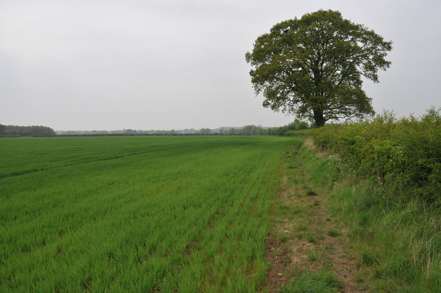
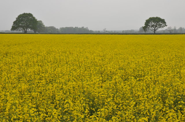
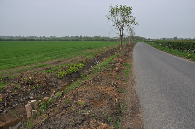
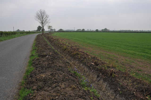
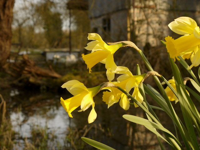
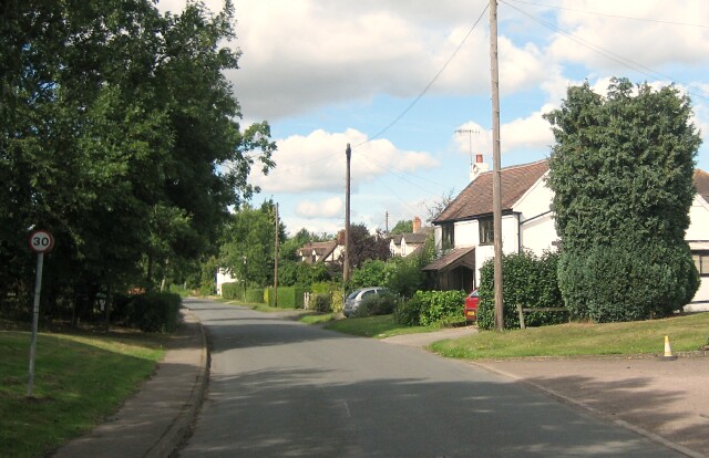
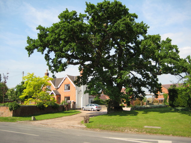
Naunton Beauchamp Images

Images are sourced within 2km of 52.170571/-2.052593 or Grid Reference SO9652. Thanks to Geograph Open Source API. All images are credited.

Footpath to North Piddle There are no roads through this square, just a couple of footpaths. There is one house on the western boundary, the rest is farmland, with a few lakes to the east of the square.
Footpath to North Piddle
There are no roads through this square, just a couple of footpaths. There is one house on the western boundary, the rest is farmland, with a few lakes to the east of the square.
Oilseed rape field Oilseed rape field near Naunton Beauchamp.
Oilseed rape field
Oilseed rape field near Naunton Beauchamp.
Grubbed hedgerow Grubbed hedgerow and recently dug ditch beside a road to the east of Naunton Beauchamp.
Grubbed hedgerow
Grubbed hedgerow and recently dug ditch beside a road to the east of Naunton Beauchamp.
Grubbed hedgerow Grubbed hedgerow and recently dug ditch beside a road to Naunton Beauchamp.
Grubbed hedgerow
Grubbed hedgerow and recently dug ditch beside a road to Naunton Beauchamp.
Three parishes meet near this bridge The ditch forms the boundary between Flyford Flavell and Naunton Beauchamp, with North Piddle just the other side and to left of picture.
Three parishes meet near this bridge
The ditch forms the boundary between Flyford Flavell and Naunton Beauchamp, with North Piddle just the other side and to left of picture.
Edge of the copse by the footpath Path follows the parish boundary, Flyford Flavell and Naunton Beauchamp, next to the field of oil-seed rape.
Edge of the copse by the footpath
Path follows the parish boundary, Flyford Flavell and Naunton Beauchamp, next to the field of oil-seed rape.
Fencing work by the road border near Baynhall Farm
Sea Ford, Naunton Beauchamp in Flood This ford on the Piddle Brook in Seaford Lane is found at Naunton Beauchamp.
Sea Ford, Naunton Beauchamp in Flood
This ford on the Piddle Brook in Seaford Lane is found at Naunton Beauchamp.
Flat Worcestershire countryside Looking south-east across arable land between North Piddle and Naunton Beauchamp.
Flat Worcestershire countryside
Looking south-east across arable land between North Piddle and Naunton Beauchamp.
Country Lane Looking north towards North Piddle.
Country Lane
Looking north towards North Piddle.
Old farm buildings A bit dilapidated but functional.
Old farm buildings
A bit dilapidated but functional.
Footpath to Naunton Beauchamp Pictured from the lane by Green Farm, North Piddle.
Footpath to Naunton Beauchamp
Pictured from the lane by Green Farm, North Piddle.
Footpath north at North Piddle Running alongside Green Farm, unseen to the right.
Footpath north at North Piddle
Running alongside Green Farm, unseen to the right.
Daffodils by the old mill pond, North Piddle A delightful sight on a fine March afternoon.
Daffodils by the old mill pond, North Piddle
A delightful sight on a fine March afternoon.
Piddle Brook at Sea Ford First photo for the square taken from the middle of the brook with the footbridge element of the ford infrastructure above.
View downstream from my car window.
Piddle Brook at Sea Ford
First photo for the square taken from the middle of the brook with the footbridge element of the ford infrastructure above. View downstream from my car window.
Sea Ford Seaford Lane, looking east towards Naunton Beauchamp.
Sea Ford
Seaford Lane, looking east towards Naunton Beauchamp.
Country mile to Bishampton Path from Seaford Lane which crosses flat Vale of Evesham meadows.
Country mile to Bishampton
Path from Seaford Lane which crosses flat Vale of Evesham meadows.
Seaford Lane Looking towards Naunton Beauchamp.
Seaford Lane
Looking towards Naunton Beauchamp.
Show me another place!

Naunton Beauchamp is located at Grid Ref: SO9652 (Lat: 52.170571, Lng: -2.052593)

Administrative County: Worcestershire

District: Wychavon

Police Authority: West Mercia

What 3 Words

///hope.ship.obstinate. Near Kington, Worcestershire

Related Wikis

Naunton Beauchamp

Naunton Beauchamp is a village and is also a civil parish within Wychavon district in Worcestershire, England. It is in the east of the county, about...

Mid Worcestershire (UK Parliament constituency)

Mid Worcestershire is a constituency represented in the House of Commons of the UK Parliament since 2015 by Nigel Huddleston, a Conservative.Under the...

Bishampton

Bishampton is a village and civil parish in the Wychavon district of Worcestershire, England with a population of 625. It contains a church, a village...

Upton Snodsbury

Upton Snodsbury is a village in Worcestershire, England, United Kingdom, located five miles east of Worcester just off the A422 road. It is surrounded...

Flyford Flavell

Flyford Flavell is a village in Worcestershire , it has a traditional pub in the centre of the village adjacent to the village green and a first school...

North Piddle

North Piddle is a small civil parish in the Wychavon district of Worcestershire, England. It is located within a loop of Piddle Brook. North Piddle is...

Abberton, Worcestershire

Abberton is a small village in Worcestershire, England. In 1991, the population was 44, this grew to 67 in 24 households in 2001.The principal house in...

Abberton Hall

Abberton Hall is a small country house in the village of Abberton, Worcestershire, England, near Pershore. == History == It is an irregular two-story...

Nearby Amenities

Located within 500m of 52.170571,-2.052593
Naunton Beauchamp
Place: village
Source: NPE
Wikidata: Q2389500
Lat/Long: 52.1699364/-2.0548169
Church
Naptan AtcoCode: 2000G029900
Naptan Bearing: NW
Naptan BusStopType: CUS
Naptan CommonName: Church
Naptan Indicator: Adj
Naptan Landmark: Church
Naptan NaptanCode: wocgmdtj
Naptan Street: Village Road
Naptan Verified: no
Source: naptan_import
Lat/Long: 52.1695126/-2.0557125
Village road
Naptan AtcoCode: 2000G323306
Naptan Bearing: SE
Naptan BusStopType: CUS
Naptan CommonName: Village road
Naptan Indicator: adj
Naptan Landmark: Church
Naptan NaptanCode: wocdtdgm
Naptan Street: Village road
Naptan Verified: no
Source: naptan_import
Lat/Long: 52.1695515/-2.055501
Post Box
Post Box Type: lamp
Ref: WR10 230
Lat/Long: 52.1692463/-2.0545685
Barrier: stile
Foot: yes
Lat/Long: 52.1691213/-2.0588307
Barrier: stile
Foot: yes
Lat/Long: 52.1699557/-2.0583067
Telephone
Defibrillator
Booth: K6
Colour: blue
Covered: booth
Defibrillator Location: inside blue telephone box at north end of Seafod Lane in Naunton Beauchamp
Emergency: defibrillator
Man Made: telephone_box
Lat/Long: 52.1692732/-2.0553474
Orchard Lea
Power: pole
Transformer: distribution
Voltage Primary: 11000
Lat/Long: 52.167943/-2.0565918
Location Transition: yes
Power: pole
Lat/Long: 52.1674009/-2.0529655
Power: pole
Lat/Long: 52.1674527/-2.0514902
Power: pole
Lat/Long: 52.1674889/-2.0503584
Power: pole
Lat/Long: 52.1675334/-2.0490146
Power: pole
Lat/Long: 52.1675597/-2.0480731
Naunton House
Power: pole
Transformer: distribution
Voltage Primary: 11000
Lat/Long: 52.168657/-2.0463592
Power: pole
Lat/Long: 52.1684406/-2.0473167
Power: pole
Lat/Long: 52.1682046/-2.0486283
Power: pole
Lat/Long: 52.1690633/-2.0494612
Power: pole
Lat/Long: 52.1699739/-2.0499332
Power: pole
Lat/Long: 52.1701507/-2.0504268
Power: pole
Lat/Long: 52.1703465/-2.0509766
Power: pole
Lat/Long: 52.1705176/-2.051442
Naunton Beauchamp
Power: pole
Transformer: distribution
Voltage Primary: 11000
Lat/Long: 52.16976/-2.0535126
Power: pole
Lat/Long: 52.1700068/-2.0534067
Power: pole
Lat/Long: 52.1703456/-2.0531304
Power: pole
Lat/Long: 52.1705151/-2.0525591
Power: pole
Lat/Long: 52.1707084/-2.0518778
Power: pole
Lat/Long: 52.1710818/-2.0529614
Power: pole
Lat/Long: 52.1734761/-2.0481616
Power: pole
Lat/Long: 52.1746003/-2.04961
Power: pole
Lat/Long: 52.1735353/-2.0497589
Power: pole
Lat/Long: 52.1730377/-2.0491675
Power: pole
Lat/Long: 52.1725121/-2.0507848
Power: pole
Lat/Long: 52.1721839/-2.0518188
Power: pole
Lat/Long: 52.1718344/-2.0529158
Power: pole
Lat/Long: 52.1714248/-2.0540866
Naunton Beauchamp Rectory
Power: pole
Transformer: distribution
Voltage Primary: 11000
Lat/Long: 52.1699549/-2.0562284
Power: pole
Lat/Long: 52.1704542/-2.0562552
Power: pole
Lat/Long: 52.1712167/-2.0559119
Power: pole
Lat/Long: 52.1719125/-2.0552199
Power: pole
Lat/Long: 52.1723345/-2.0563424
Power: pole
Lat/Long: 52.1727457/-2.0574608
The data included in this document is from www.openstreetmap.org. The data is made available under ODbL.

Have you been to Naunton Beauchamp?

Leave your review of Naunton Beauchamp below (or comments, questions and feedback).