Minety

Civil Parish in Wiltshire

England

Minety

Junction on the Cricklade road Turning to Upper Minety.
Junction on the Cricklade road Credit: Alan Hughes

Minety is a civil parish located in the county of Wiltshire, England. It is situated in the North Wiltshire district, approximately 10 miles north of the town of Swindon. The village of Minety is the main settlement within the parish.

The area is known for its picturesque countryside, with rolling hills, meadows, and woodland surrounding the village. The parish is bordered by several other rural parishes, including Ashton Keynes, Oaksey, and Upper Minety.

Minety has a rich history, with evidence of human habitation dating back to the Neolithic period. The village itself has a charming traditional character, featuring a mix of period cottages, farmhouses, and more modern housing developments.

The parish is home to St. Leonard's Church, a Grade II* listed building dating back to the 12th century. The church is a focal point of the community and holds regular services and events.

The village has a strong sense of community, with various local amenities and organizations. These include a primary school, a village hall, a cricket club, and a pub. The surrounding countryside offers ample opportunities for outdoor activities, such as walking, cycling, and horse riding.

Minety is well-connected to nearby towns and cities, with good road links to Swindon, Cirencester, and the M4 motorway. The nearest railway station is located in Kemble, approximately 6 miles away, providing convenient access to London and other major cities.

Overall, Minety is a picturesque and welcoming village, offering a peaceful rural lifestyle within easy reach of larger urban centers.

If you have any feedback on the listing, please let us know in the comments section below.
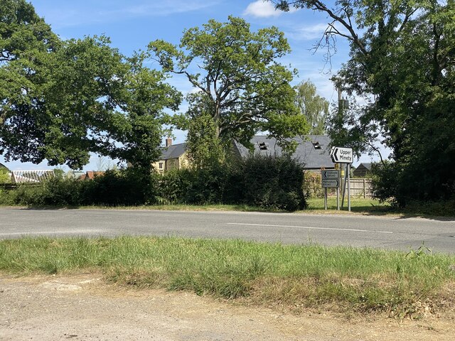
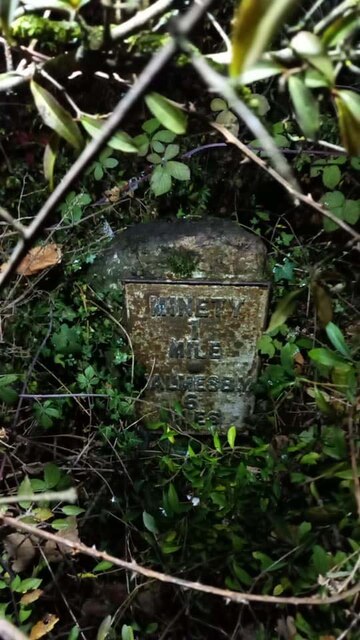
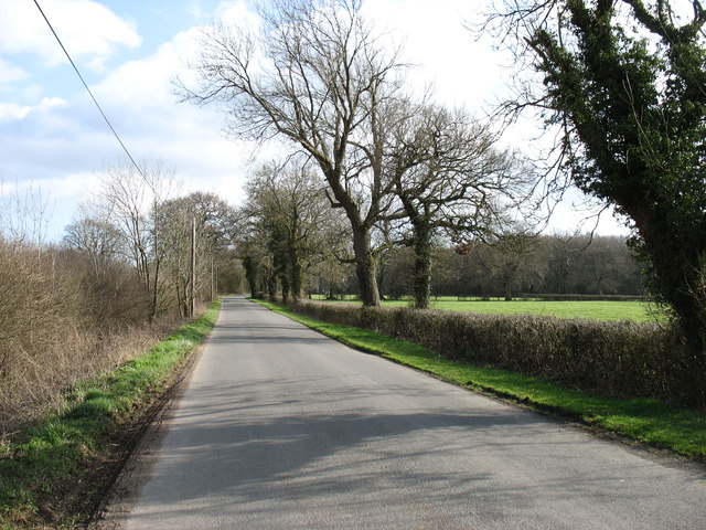
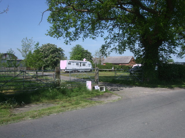
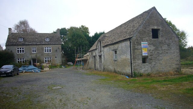
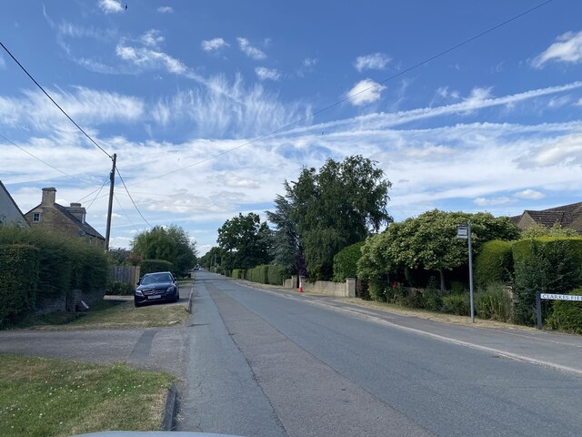
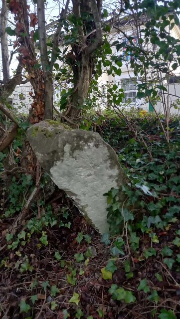
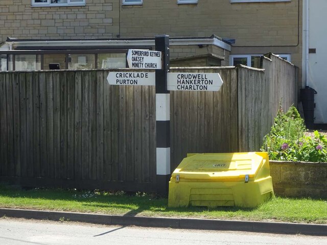
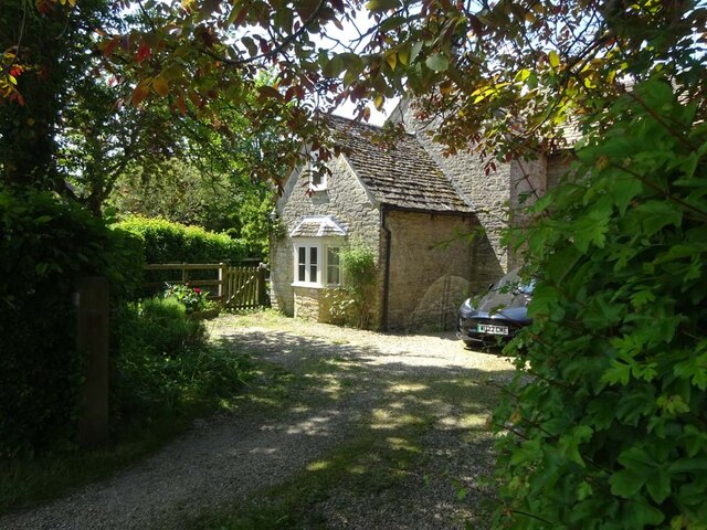
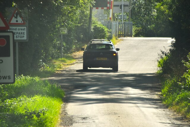
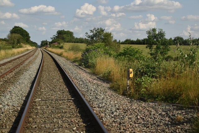
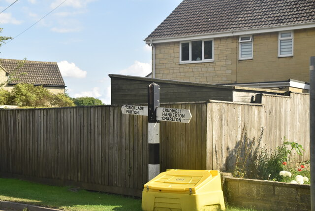
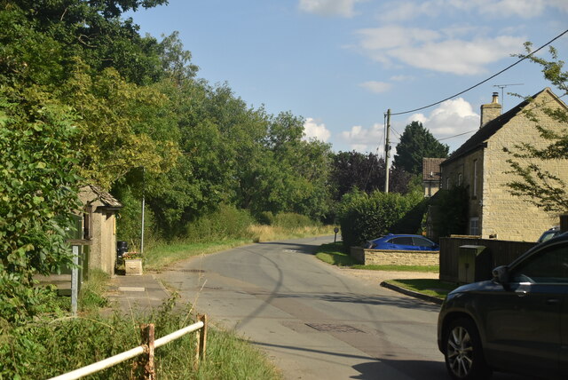
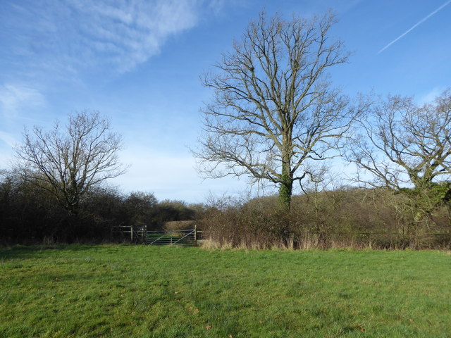
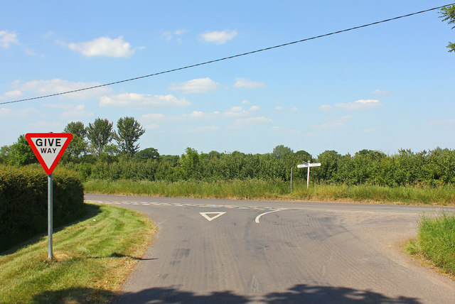
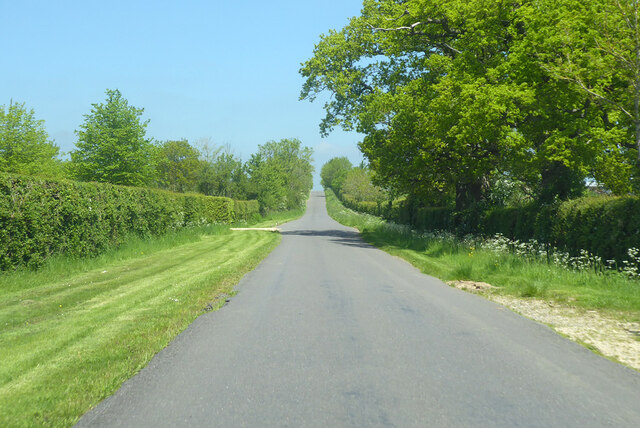
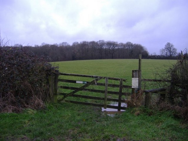
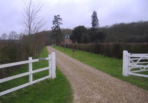
Minety Images

Images are sourced within 2km of 51.618232/-1.969073 or Grid Reference SU0291. Thanks to Geograph Open Source API. All images are credited.

Junction on the Cricklade road Turning to Upper Minety.
Junction on the Cricklade road
Turning to Upper Minety.
Milestone, B4040, Minety On the North side of the B4040 about 400 yds from Kemble's Farm.
Possible Benchmark representing 108.4 m Above Sea Level. Metal Plate.

Inscription: Minety / 1/ Mile / Malmesb,y / 6 / Miles

Grade II listed July 1987 Nᴼ 1284787 see <span class="nowrap"><a title="https://historicengland.org.uk/listing/the-list/list-entry/1284787" rel="nofollow ugc noopener" href="https://historicengland.org.uk/listing/the-list/list-entry/1284787">Link</a><img style="margin-left:2px;" alt="External link" title="External link - shift click to open in new window" src="https://s1.geograph.org.uk/img/external.png" width="10" height="10"/></span>

Milestone Society National ID: WI_MYCK06
Milestone, B4040, Minety
On the North side of the B4040 about 400 yds from Kemble's Farm. Possible Benchmark representing 108.4 m Above Sea Level. Metal Plate. Inscription: Minety / 1/ Mile / Malmesb,y / 6 / Miles Grade II listed July 1987 Nᴼ 1284787 see LinkExternal link Milestone Society National ID: WI_MYCK06
Dog Trap Lane, near Woodward Farm I do not know the origin of the name of this lane, though I can make a guess!
Dog Trap Lane, near Woodward Farm
I do not know the origin of the name of this lane, though I can make a guess!
Woodward Farm caravan site, Dog Trap Lane This is a Caravan Club certified location, for 5 members only.
Woodward Farm caravan site, Dog Trap Lane
This is a Caravan Club certified location, for 5 members only.
The Old Inn A former public house.
The Old Inn
A former public house.
Clarke’s Field towards Minety
Old Milestone, Minety Opposite the White Inn pub, falling down the bank. Originally erected by the Faringdon to Acton Turville Turnpike Trust, but undoubtedly moved with the road when the railway was built and the road kinked to go over the tracks.

Inscription: To / Malmesbury / 7 / Miles // To / Cricklade / 5 / Miles

Milestone Society ID: WI_MYCK07
Old Milestone, Minety
Opposite the White Inn pub, falling down the bank. Originally erected by the Faringdon to Acton Turville Turnpike Trust, but undoubtedly moved with the road when the railway was built and the road kinked to go over the tracks. Inscription: To / Malmesbury / 7 / Miles // To / Cricklade / 5 / Miles Milestone Society ID: WI_MYCK07
Fingerpost, Upper Minety At the junction of Hornbury Hill, Flisteridge Road and Crossings Lane. 
Flistergate (right) was a toll gate in the 18ᵗʰ C. 
Opposite <a href="https://www.geograph.org.uk/photo/7502309">SU0090 : The Old Toll House, Upper Minety</a>

Inscription: Cricklade / Purton // Somerford Keynes / Oaksey / Minety Church // Crudwell / Hankerton / Charlton

Milestone Society National ID: WI_SU0090
Fingerpost, Upper Minety
At the junction of Hornbury Hill, Flisteridge Road and Crossings Lane. Flistergate (right) was a toll gate in the 18ᵗʰ C. Opposite SU0090 : The Old Toll House, Upper Minety Inscription: Cricklade / Purton // Somerford Keynes / Oaksey / Minety Church // Crudwell / Hankerton / Charlton Milestone Society National ID: WI_SU0090
The Old Toll House, Upper Minety At the corner of Flisteridge Road, Crossing Lane and Hanbury Hill. There would not appear to have been any milestones along Flisteridge, so that turnpike may have been associated with a private estate.
The Toll Gate appears on the David Rumsey 1858 map.

Milestone Society National ID: WI.MIN2
The Old Toll House, Upper Minety
At the corner of Flisteridge Road, Crossing Lane and Hanbury Hill. There would not appear to have been any milestones along Flisteridge, so that turnpike may have been associated with a private estate. The Toll Gate appears on the David Rumsey 1858 map. Milestone Society National ID: WI.MIN2
Crossing Lane
Crossing Lane
Railway line near Minety
Roadsign, Upper Minety
Upper Minety
Upper Minety
Distillery Meadows Nature Reserve Part of a larger wildlife reserve complex which includes Ravensroost Wood and is cared for by Wiltshire Wildlife Trust. <span class="nowrap"><a title="https://www.wiltshirewildlife.org/ravensroost-wood-including-avis-distillery-and-warbler-meadows-malmesbury" rel="nofollow ugc noopener" href="https://www.wiltshirewildlife.org/ravensroost-wood-including-avis-distillery-and-warbler-meadows-malmesbury">Link</a><img style="margin-left:2px;" alt="External link" title="External link - shift click to open in new window" src="https://s1.geograph.org.uk/img/external.png" width="10" height="10"/></span>
Distillery Meadows Nature Reserve
Part of a larger wildlife reserve complex which includes Ravensroost Wood and is cared for by Wiltshire Wildlife Trust. LinkExternal link
Junction at Minety Common Road Junction at Minety Common
Junction at Minety Common
Road Junction at Minety Common
Road towards Minety
Road towards Minety
Footpath leading to Old Copse
Distillery farm and drive
Show me another place!

Minety is located at Grid Ref: SU0291 (Lat: 51.618232, Lng: -1.969073)

Unitary Authority: Wiltshire

Police Authority: Wiltshire

What 3 Words

///upwards.lawfully.hammer. Near Minety, Wiltshire

Related Wikis

Minety

Minety (/'maɪn.tiː/) is a village in north Wiltshire, England, between Malmesbury – 6 miles (9.7 km) to the west – and Swindon. It takes its name from...

Brandier

Brandier is a hamlet in north Wiltshire, England, near Minety. Until the Counties Act of 1844, it was in Gloucestershire. Brandier was the site of extensive...

Minety and Ashton Keynes railway station

Minety and Ashton Keynes railway station serving the village of Minety in Wiltshire, England, was opened in 1841 on the former Cheltenham and Great Western...

Distillery Farm Meadows

Distillery Farm Meadows (grid reference SU032898) is an 18.7 hectare biological Site of Special Scientific Interest in Wiltshire, notified in 1988. The...

Nearby Amenities

Located within 500m of 51.618232,-1.969073
Minety
Place: village
Lat/Long: 51.6150042/-1.9652454
Turning Loop
Lat/Long: 51.6159665/-1.96725
Public Bookcase
Booth: K6
Disused Amenity: telephone
Man Made: telephone_box
Public Bookcase Type: phone_box
Lat/Long: 51.6156915/-1.9636874
Shelter
Shelter Type: public_transport
Lat/Long: 51.6157247/-1.9636303
Post Box
Operator: Royal Mail
Operator Wikidata: Q638098
Post Box Type: pillar
Ref: SN16 219D
Royal Cypher: EIIR
Royal Cypher Wikidata: Q33102113
Lat/Long: 51.6157008/-1.9637582
Historic: memorial
Memorial: war_memorial
Lat/Long: 51.6155468/-1.9635686
Advertising: board
Lat/Long: 51.6156865/-1.9638201
Post Box
Operator: Royal Mail
Operator Wikidata: Q638098
Post Box Type: lamp
Ref: SN16 240
Royal Cypher: EIIR
Royal Cypher Wikidata: Q33102113
Lat/Long: 51.6215304/-1.9671455
The data included in this document is from www.openstreetmap.org. The data is made available under ODbL.

Have you been to Minety?

Leave your review of Minety below (or comments, questions and feedback).