Moor, Lower
Settlement in Wiltshire
England
Moor, Lower
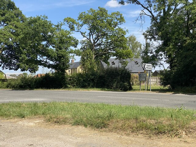
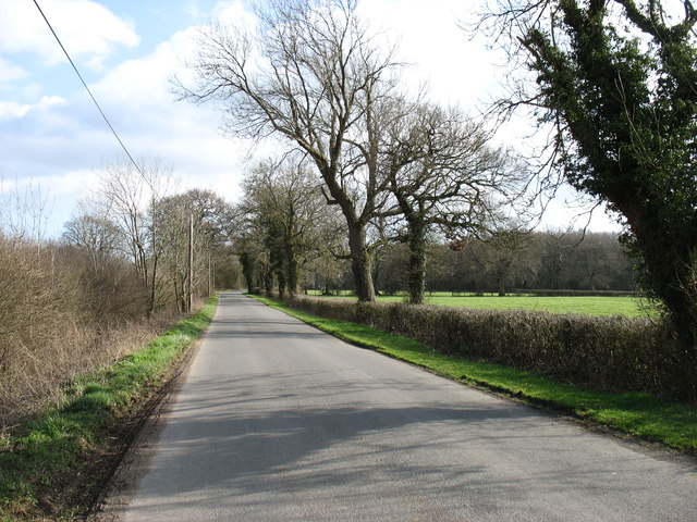
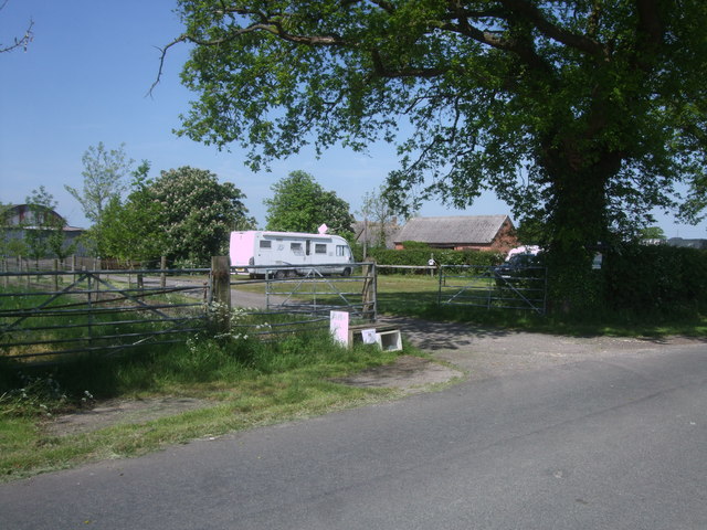
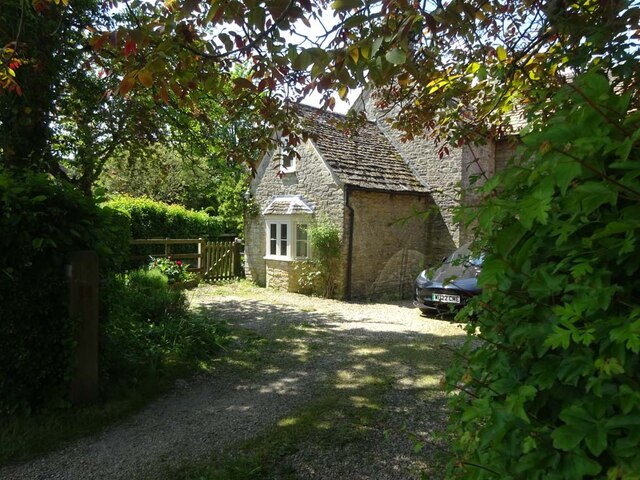
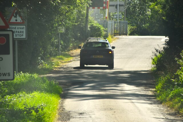
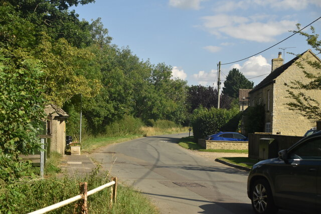
Moor, Lower is a small village located in the county of Wiltshire, England. It is situated in the southwestern part of the county, near the town of Bradford-on-Avon. The village is nestled in a picturesque countryside setting, surrounded by rolling hills and lush green fields.
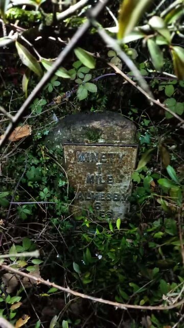
Moor, Lower has a rich history dating back many centuries. The village is mentioned in the Domesday Book of 1086, indicating its existence even during medieval times. The architecture of the village reflects its long-standing heritage, with several well-preserved historic buildings and thatched cottages dotted throughout the area.
Despite its small size, Moor, Lower offers a range of amenities to its residents. The village has a local pub, providing a cozy spot for locals to socialize and enjoy a pint. Additionally, there is a village hall that serves as a community center, hosting various events and gatherings throughout the year.
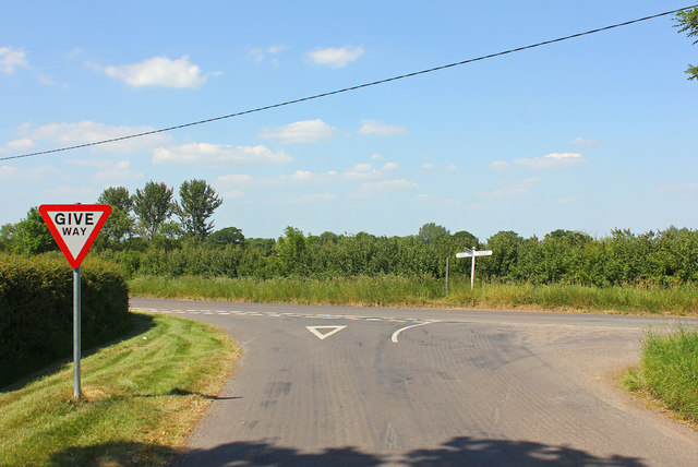
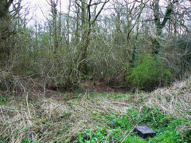
The surrounding countryside offers plenty of opportunities for outdoor activities. The village is located close to the Cotswolds Area of Outstanding Natural Beauty, known for its stunning landscapes and picturesque villages. This makes Moor, Lower an ideal location for nature enthusiasts, hikers, and cyclists.
Although Moor, Lower is a predominantly rural area, it benefits from its proximity to larger towns and cities. Bradford-on-Avon is just a short drive away, providing access to a wider range of amenities, including shops, supermarkets, and leisure facilities.
Overall, Moor, Lower is a charming village with a strong sense of community and a tranquil countryside setting.
If you have any feedback on the listing, please let us know in the comments section below.
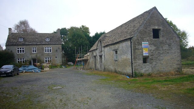
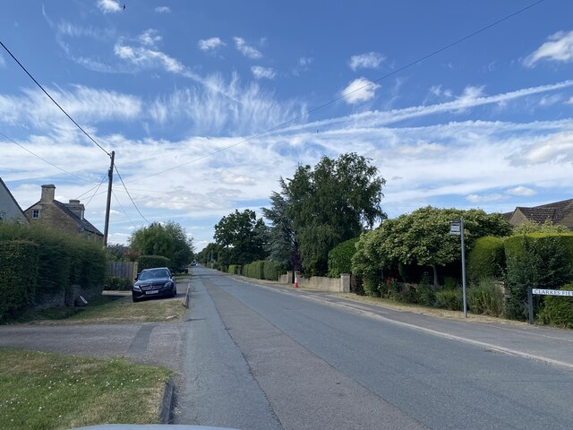
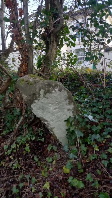
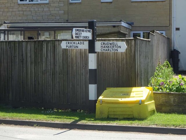
Moor, Lower Images
Images are sourced within 2km of 51.621327/-1.967134 or Grid Reference SU0291. Thanks to Geograph Open Source API. All images are credited.


Moor, Lower is located at Grid Ref: SU0291 (Lat: 51.621327, Lng: -1.967134)
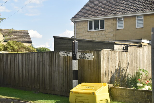
Unitary Authority: Wiltshire
Police Authority: Wiltshire
What 3 Words
///sleepy.clustered.boosted. Near Minety, Wiltshire
Nearby Locations
Related Wikis

Minety
Minety (/'maɪn.tiː/) is a village in north Wiltshire, England, between Malmesbury – 6 miles (9.7 km) to the west – and Swindon. It takes its name from...

Brandier
Brandier is a hamlet in north Wiltshire, England, near Minety. Until the Counties Act of 1844, it was in Gloucestershire. Brandier was the site of extensive...

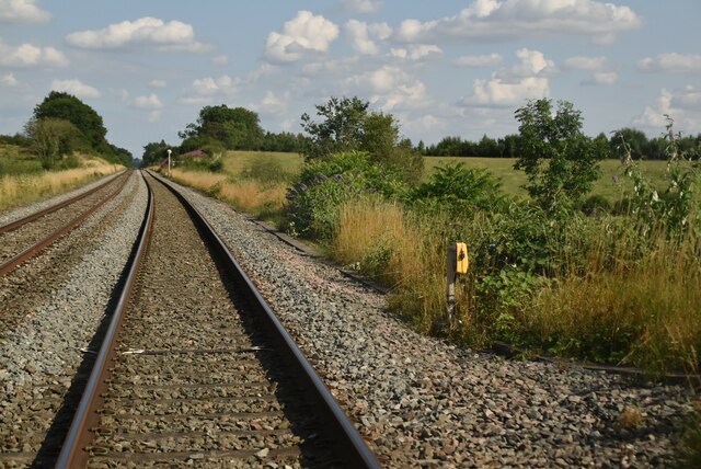
Minety and Ashton Keynes railway station
Minety and Ashton Keynes railway station serving the village of Minety in Wiltshire, England, was opened in 1841 on the former Cheltenham and Great Western...
Acres Farm Meadow
Acres Farm Meadow (grid reference SU024927) is a 4.2 hectare biological Site of Special Scientific Interest (SSSI) in Wiltshire, notified in 1989. It lies...
Nearby Amenities
Located within 500m of 51.621327,-1.967134Have you been to Moor, Lower?
Leave your review of Moor, Lower below (or comments, questions and feedback).