Mickleham

Civil Parish in Surrey Mole Valley

England

Mickleham

Iron wicket gate Footpath Mickleham 18 lies across the Mickleham Bypass (the A24).  The crossing from west to east is straightforward, but the crossing from east to west is potentially lethal, owing to the lack of visibility when crossing the north-bound carriageway from the central reservation.  Heading east, one climbs up the bank of the bypass, and this park-style railing with wicket gate (and adjacent access for hand-carts) appears to date from the construction of the bypass in 1937–38.
Iron wicket gate Credit: Hugh Craddock

Mickleham is a civil parish located in the county of Surrey, England. It is situated on the southern slopes of the North Downs, approximately 20 miles southwest of London. The parish covers an area of around 10 square miles and has a population of about 900 residents.

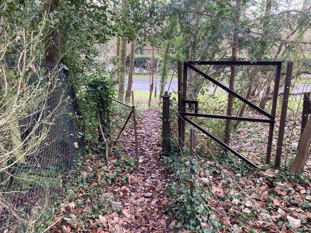
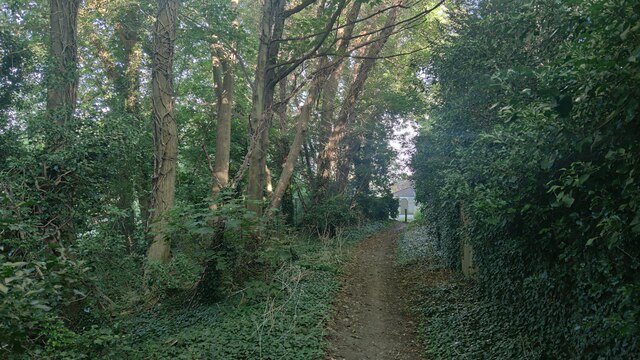
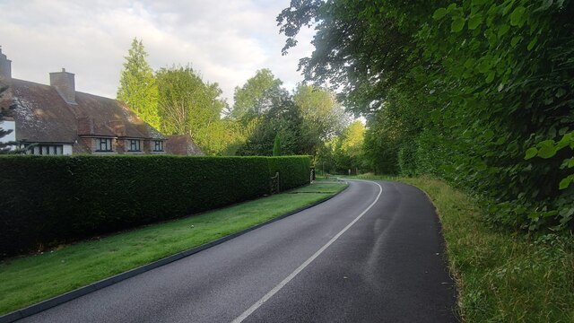
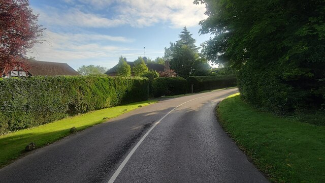
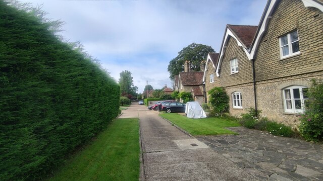
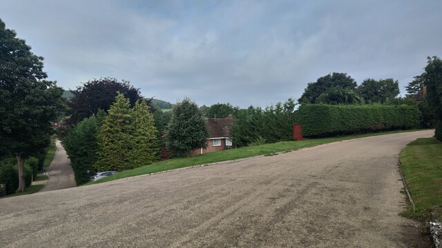
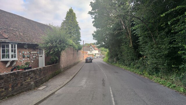
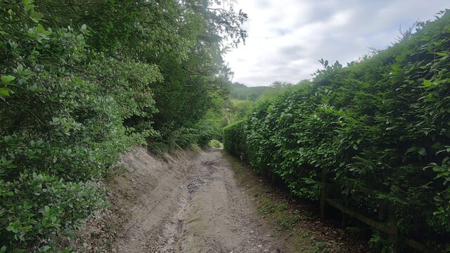
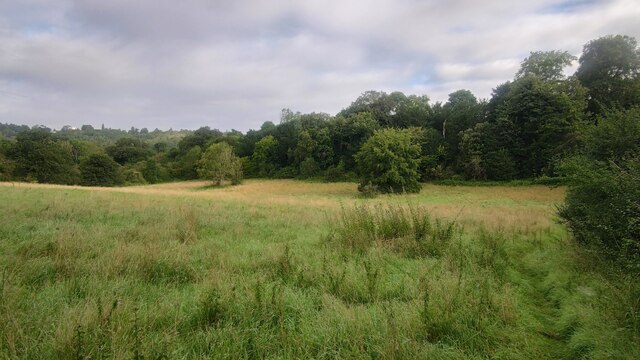
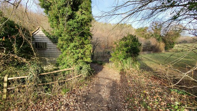
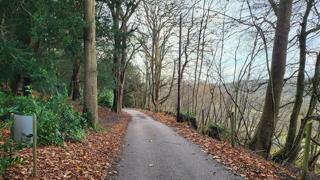
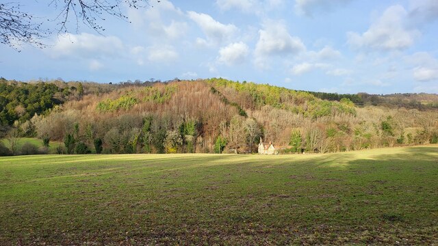
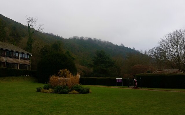
The village of Mickleham itself is characterized by its picturesque setting, surrounded by rolling hills, lush green fields, and extensive woodland. The area is renowned for its natural beauty, attracting visitors who enjoy walking, hiking, and cycling in the scenic countryside.

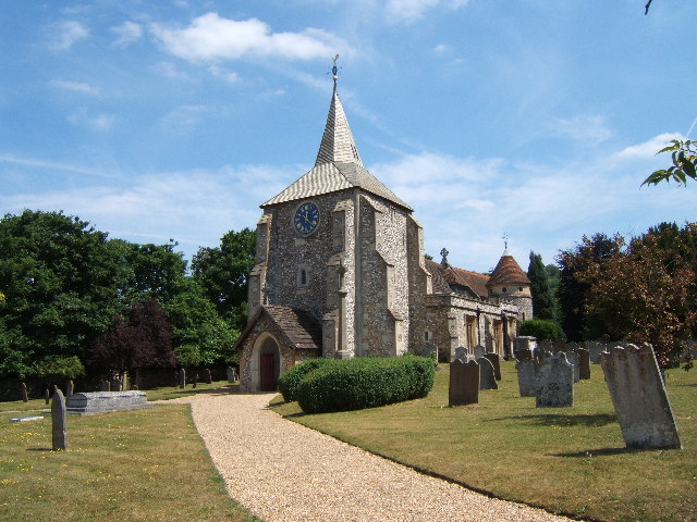
Historically, Mickleham has been a settlement for centuries, with evidence of Roman and Saxon occupation in the area. The village is home to several notable landmarks, including the 12th-century St. Michael and All Angels Church, which features a Norman tower and medieval wall paintings. Another prominent site is Juniper Hall, an 18th-century country house that now serves as a field studies center.

Mickleham offers a range of amenities to its residents, including a primary school, a village hall, and a local pub. The village also benefits from its proximity to the nearby towns of Dorking and Leatherhead, where residents can access a wider range of services, shops, and leisure facilities.

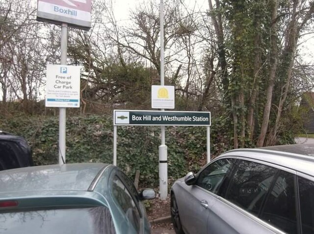
Transport links in Mickleham are well-developed, with the A24 road passing through the parish, providing easy access to surrounding areas. The village is also served by several bus routes, connecting it to nearby towns and villages, as well as train stations in Leatherhead and Dorking for those commuting to London or other major cities.

Overall, Mickleham offers a tranquil and idyllic place to live, with its natural beauty, historic charm, and convenient location making it an attractive destination for both residents and visitors alike.

If you have any feedback on the listing, please let us know in the comments section below.

Mickleham Images

Images are sourced within 2km of 51.266373/-0.320428 or Grid Reference TQ1753. Thanks to Geograph Open Source API. All images are credited.

Iron wicket gate Footpath Mickleham 18 lies across the Mickleham Bypass (the A24).  The crossing from west to east is straightforward, but the crossing from east to west is potentially lethal, owing to the lack of visibility when crossing the north-bound carriageway from the central reservation.  Heading east, one climbs up the bank of the bypass, and this park-style railing with wicket gate (and adjacent access for hand-carts) appears to date from the construction of the bypass in 1937–38.
Iron wicket gate
Footpath Mickleham 18 lies across the Mickleham Bypass (the A24). The crossing from west to east is straightforward, but the crossing from east to west is potentially lethal, owing to the lack of visibility when crossing the north-bound carriageway from the central reservation. Heading east, one climbs up the bank of the bypass, and this park-style railing with wicket gate (and adjacent access for hand-carts) appears to date from the construction of the bypass in 1937–38.
Boxhill and Westhumble Station
Bridleway towards Downs Lane
Givons Grove - The Downs Entrance road from the A24 leatherhead bypass.
Givons Grove - The Downs
Entrance road from the A24 leatherhead bypass.
The Downs Windy road through the housing estate.
The Downs
Windy road through the housing estate.
Westhumble Street Short side residential road off the main road with the same name.
Westhumble Street
Short side residential road off the main road with the same name.
Westhumble - Pilgrims Way Private road housing estate.
Westhumble - Pilgrims Way
Private road housing estate.
Mickleham - Old London Road
Box Hill School playing field Grounds next to Swanworth Farm
Box Hill School playing field
Grounds next to Swanworth Farm
Bridleway through Juniperhill Wood Part of Mickleham Downs near Headley Lane.
Bridleway through Juniperhill Wood
Part of Mickleham Downs near Headley Lane.
Field north of Fredley Manor Footpath on the right going to the Old London Road.
Field north of Fredley Manor
Footpath on the right going to the Old London Road.
Footpath passing Cockshot Cottage Path close to the Cockshot National Trust Car Park.
Footpath passing Cockshot Cottage
Path close to the Cockshot National Trust Car Park.
High Ashurst Estate Council owned outdoor education centre with no public car access.
High Ashurst Estate
Council owned outdoor education centre with no public car access.
Cockshot Cottage Part of the High Ashurst land.
Cockshot Cottage
Part of the High Ashurst land.
Landscaped lake near Middlehill Wood
Bullen Wood Land near the historic Bellasis House.
Bullen Wood
Land near the historic Bellasis House.
Mercure Box Hill Burford Bridge Hotel
Underbridge across Dorking and Leatherhead Railway Footpath Mickleham 18 leads off Mickleham footpath 4 immediately passing under the former Horsham, Dorking and Leatherhead Railway towards the A24 and Mickleham village.  The bridge is surprisingly capacious and perhaps once provided occupation access to the meadows along the east side of the river Mole.
Underbridge across Dorking and Leatherhead Railway
Footpath Mickleham 18 leads off Mickleham footpath 4 immediately passing under the former Horsham, Dorking and Leatherhead Railway towards the A24 and Mickleham village. The bridge is surprisingly capacious and perhaps once provided occupation access to the meadows along the east side of the river Mole.
Show me another place!

Mickleham is located at Grid Ref: TQ1753 (Lat: 51.266373, Lng: -0.320428)

Administrative County: Surrey

District: Mole Valley

Police Authority: Surrey

What 3 Words

///played.sings.wiped. Near Leatherhead, Surrey

Related Wikis

Mickleham, Surrey

Mickleham is a village in south east England, between the towns of Dorking and Leatherhead in Surrey. The civil parish covers 7.31 square kilometres (1...

St. Michael's Churchyard, Mickleham

St. Michael's Churchyard is the church and graveyard located in Mickleham, Surrey, England, belonging to the Church of England parish of Mickleham. �...
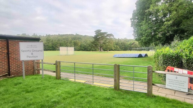
Box Hill School

Box Hill School is an independent coeducational boarding and day school situated in the village of Mickleham near Dorking, Surrey, England. The school...

Mole Valley (UK Parliament constituency)

Mole Valley is a constituency in Surrey represented in the House of Commons of the UK Parliament since 1997 by Sir Paul Beresford, a Conservative.Further...

Juniper Hall

Juniper Hall FSC Field Centre is an 18th-century country house, leased from the National Trust, on the east slopes of Mickleham in the deep Mole Gap of...
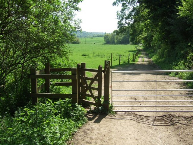
Mole Gap Trail

The Mole Gap Trail is a 10-kilometre (6.2 mi) official walking route alongside the River Mole, linking the Surrey towns of Dorking and Leatherhead. The...

Cherkley Court

Cherkley Court, at the extreme southeast of Leatherhead, Surrey, in England, is a late Victorian neo-classical mansion and estate of 370 acres (1.5 km2...

Burford Bridge Hotel

Burford Bridge Hotel is a historic hotel at the edge of the village of Mickleham, Surrey, England. It is to the south of Leatherhead and north of Dorking...

Nearby Amenities

Located within 500m of 51.266373,-0.320428
Juniper Hill
Natural: peak
Source: npe
Lat/Long: 51.2642013/-0.3171635
Post Box
Ref: RH5 83
Lat/Long: 51.2671872/-0.3240748
Bus Stop
Mickleham Church
Bus: yes
Naptan AtcoCode: 40004408132A
Naptan Bearing: N
Naptan CommonName: Church
Naptan Indicator: Opp
Naptan Landmark: Church
Naptan NaptanCode: surdajdm
Naptan Street: Old London Road
Naptan Verified: no
Public Transport: platform
Ref: 47254
Source: naptan_import
Toilets Wheelchair: no
Website: http://nextbuses.mobi/WebView/BusStopSearch/BusStopSearchResults/surdajdm?currentPage=0
Wheelchair: yes
Wheelchair Description: TfL Route 465 accessible buses towards Leatherhead. Step-free to stop opposite via dipped kerbs. Stop often obstructed by parking at lunchtime.
Lat/Long: 51.2677231/-0.3239623
Bus Stop
Mickleham Church
Addr Street: Old London Road
Bus: yes
Naptan AtcoCode: 40004408132B
Naptan Bearing: S
Naptan CommonName: Church
Naptan Indicator: Just Before
Naptan Landmark: Church
Naptan NaptanCode: surdajdp
Naptan Street: Old London Road
Naptan Verified: no
Public Transport: platform
Ref: 71990
Source: naptan_import
Toilets Wheelchair: no
Website: http://nextbuses.mobi/WebView/BusStopSearch/BusStopSearchResults/surdajdm?currentPage=0
Wheelchair: yes
Wheelchair Description: TfL Route 465 accessible buses towards Dorking. Step-free to stop opposite via dipped kerbs.
Lat/Long: 51.2678366/-0.323893
Bus Stop
The Villa
Bus: yes
Naptan AtcoCode: 40004408239A
Naptan Bearing: NW
Naptan CommonName: Juniper Hill Nurseries
Naptan Indicator: adj
Naptan Landmark: North Downs Way
Naptan NaptanCode: surdatjd
Naptan Street: Old London Road
Naptan Verified: no
Public Transport: platform
Ref: 50800
Source: naptan_import
Website: http://nextbuses.mobi/WebView/BusStopSearch/BusStopSearchResults/surdatjd?currentPage=0
Wheelchair: limited
Wheelchair Description: No nearby dipped kerb. No bus stop sign opposite.
Lat/Long: 51.263764/-0.3245238
Mickleham
Place: village
Lat/Long: 51.2683897/-0.3220339
Rose's Stores, Old Post Office
Addr Street: Old London Road
Disused Amenity: convenience
Toilets Wheelchair: no
Wheelchair: no
Wheelchair Description: Single step
Lat/Long: 51.2674814/-0.324094
War Memorial
Addr Street: Old London Road
Historic: memorial
Toilets Wheelchair: no
Wheelchair: limited
Wheelchair Description: Low step at lytch gate. Gravel path. Grass surrounding area.
Lat/Long: 51.2673967/-0.3236453
Barrier: stile
Lat/Long: 51.2676113/-0.3203174
Leisure: picnic_table
Lat/Long: 51.2698633/-0.321268
Give Way
Direction: backward
Lat/Long: 51.2700382/-0.3236696
Crossing
Lat/Long: 51.2704167/-0.3221771
Entrance: main
Lat/Long: 51.2674868/-0.3234995
Addr Housename: St Michael's House
Lat/Long: 51.2683187/-0.3228374
Addr Housename: Flint Cottage
Lat/Long: 51.2682822/-0.3225146
Entrance: main
Lat/Long: 51.2688534/-0.324691
Addr Housenumber: 14-16
Lat/Long: 51.2677793/-0.3247995
Addr Housenumber: 26-28
Lat/Long: 51.2677872/-0.3252166
Addr Housenumber: 3
Lat/Long: 51.2678294/-0.3245243
Addr Housenumber: 1
Lat/Long: 51.267681/-0.3245622
Addr Housename: Yew Tree Cottage
Lat/Long: 51.2674193/-0.3240656
Dell Close Cottages
Place: locality
Lat/Long: 51.2691587/-0.3198632
Addr Housenumber: 1
Lat/Long: 51.2689299/-0.3206109
Addr Housenumber: 12
Lat/Long: 51.2690373/-0.3189248
Addr Housenumber: 9
Lat/Long: 51.2689797/-0.3198614
Addr Housename: Pine Cottage
Lat/Long: 51.270352/-0.3220008
Addr Housename: Apple Tree House
Lat/Long: 51.2703797/-0.3218814
Crossing
Lat/Long: 51.2705807/-0.3216731
Crossing
Lat/Long: 51.270502/-0.3218945
Addr Housename: Dell View
Lat/Long: 51.270018/-0.3198995
Addr Housename: Downsd View
Lat/Long: 51.2700538/-0.3200268
Board Type: welcome_sign
Information: board
Tourism: information
Lat/Long: 51.2676658/-0.3238093
Bench
Backrest: yes
Lat/Long: 51.2674555/-0.3236673
Bench
Backrest: yes
Lat/Long: 51.2676796/-0.32351
Defibrillator
Defibrillator Location: Front of Village Hall
Emergency: defibrillator
Indoor: no
Lat/Long: 51.2687045/-0.3210202
The data included in this document is from www.openstreetmap.org. The data is made available under ODbL.

Have you been to Mickleham?

Leave your review of Mickleham below (or comments, questions and feedback).