Mickleby

Civil Parish in Yorkshire Scarborough

England

Mickleby

Fields near Ellerby The footpath from Ellerby to the B1266 is not well waymarked but it is walkable exactly as it says on the map.
Fields near Ellerby Credit: T Eyre

The requested URL returned error: 429 Too Many Requests

If you have any feedback on the listing, please let us know in the comments section below.
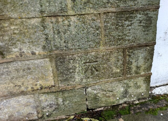
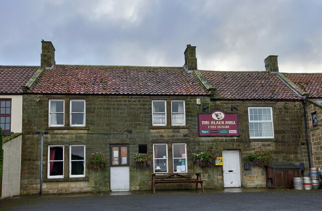
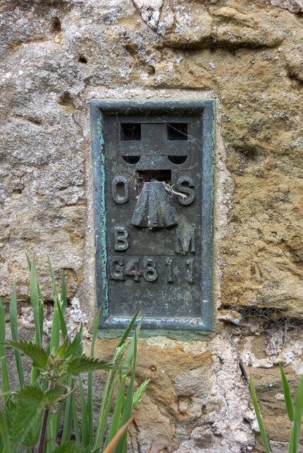
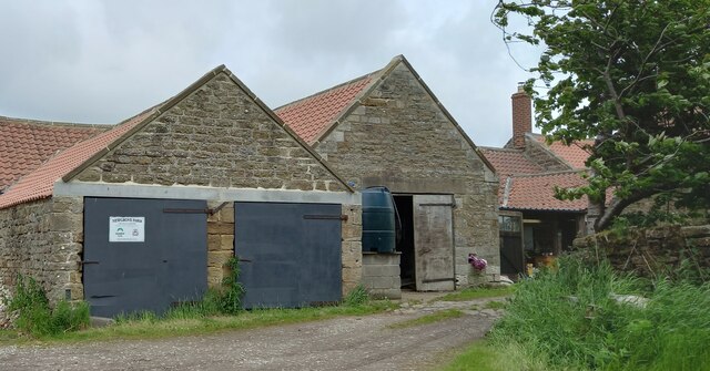
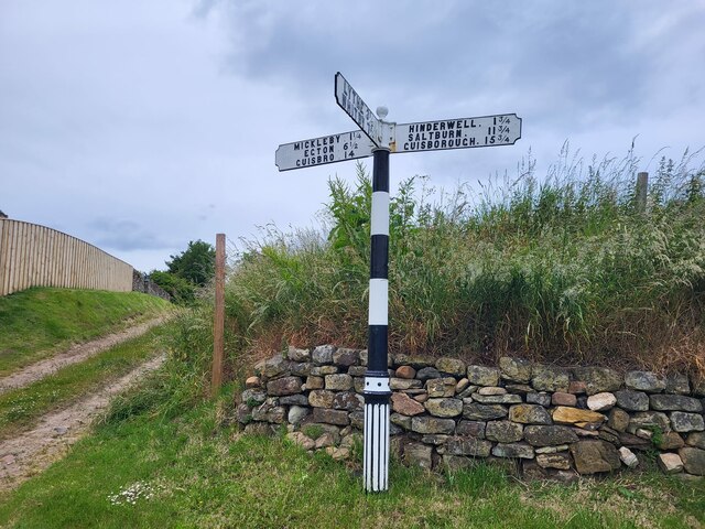
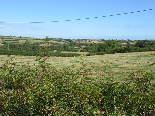
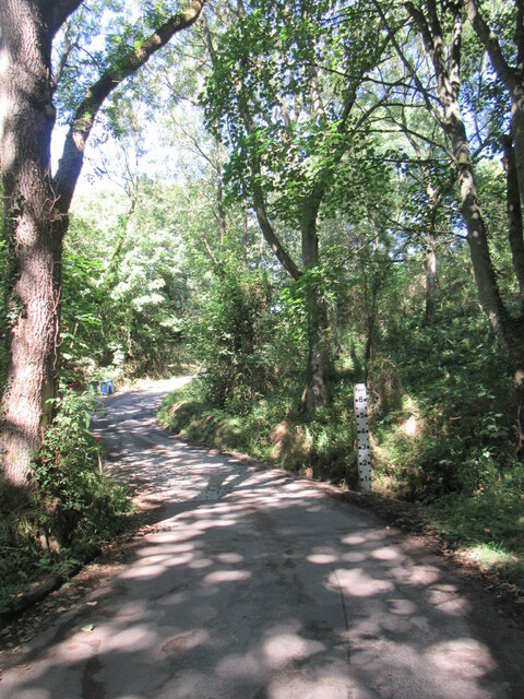
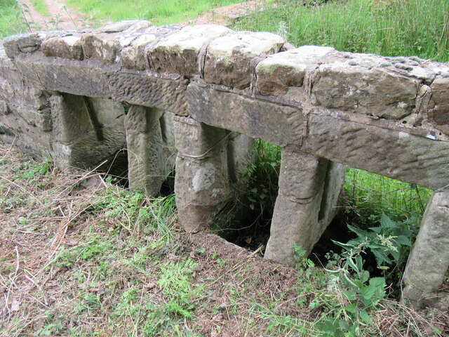
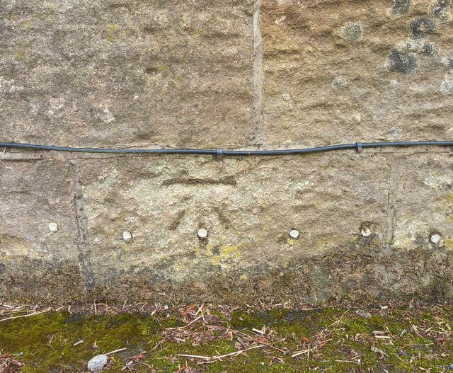
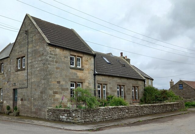
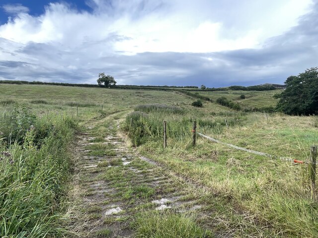
Mickleby Images

Images are sourced within 2km of 54.505144/-0.768938 or Grid Reference NZ7912. Thanks to Geograph Open Source API. All images are credited.

Fields near Ellerby The footpath from Ellerby to the B1266 is not well waymarked but it is walkable exactly as it says on the map.
Fields near Ellerby
The footpath from Ellerby to the B1266 is not well waymarked but it is walkable exactly as it says on the map.
Ugthorpe, Black Bull The benchmark is cut into the 2nd course of stone on the north-east face of the front of the pub.
Ugthorpe, Black Bull
The benchmark is cut into the 2nd course of stone on the north-east face of the front of the pub.
Ugthorpe, Black Bull PH There is a benchmark cut into the 2nd course of stone on the north-east face of the front of the pub, to the left of the village noticeboard.
Ugthorpe, Black Bull PH
There is a benchmark cut into the 2nd course of stone on the north-east face of the front of the pub, to the left of the village noticeboard.
Ugthorpe, Newgrove Farm The OS Flush Bracket G4811 is embedded into the gable end of a stone barn opposite the entrance to the farm.
Ugthorpe, Newgrove Farm
The OS Flush Bracket G4811 is embedded into the gable end of a stone barn opposite the entrance to the farm.
Ugthorpe, Newgrove Farm The OS Flush Bracket G4811 is embedded into the gable end of a stone barn opposite the entrance to the farm. It can be seen to the left of the 1st grey barn door.
Ugthorpe, Newgrove Farm
The OS Flush Bracket G4811 is embedded into the gable end of a stone barn opposite the entrance to the farm. It can be seen to the left of the 1st grey barn door.
Direction Sign – Signpost on Ryeland Lane in Ellerby Located on the west side of the T junction of Ryeland Lane and Ellerby Bank in Ellerby parish. 3 arms and ball finial. See also <a title="https://www.geograph.org.uk/photo/3434355" href="https://www.geograph.org.uk/photo/3434355">Link</a>.

Milestone Society National ID: YN_NZ7914
Direction Sign – Signpost on Ryeland Lane in Ellerby
Located on the west side of the T junction of Ryeland Lane and Ellerby Bank in Ellerby parish. 3 arms and ball finial. See also Link. Milestone Society National ID: YN_NZ7914
Near Ugthorpe Looking NE from the road.
Near Ugthorpe
Looking NE from the road.
Dappled shade Dappled shade covers the dried up Mickleby ford.
Dappled shade
Dappled shade covers the dried up Mickleby ford.
Newton Mulgrave Moor Looking NE.
Newton Mulgrave Moor
Looking NE.
Ellerby Bank Top Looking NE.
Ellerby Bank Top
Looking NE.
Water troughs in Ellerby Unusual water troughs in Ellerby.
Water troughs in Ellerby
Unusual water troughs in Ellerby.
Farmland south of Ellerby
Ugthorpe, Low Broom House The benchmark is cut into the west facing gable end of the farmhouse. It is well hidden from view with shrubbery growing from the base of the wall.
Ugthorpe, Low Broom House
The benchmark is cut into the west facing gable end of the farmhouse. It is well hidden from view with shrubbery growing from the base of the wall.
Ugthorpe, Low Broom House There is a benchmark cut into the west facing gable end of the farmhouse. It is well hidden from view with shrubbery growing from the base of the wall.
Ugthorpe, Low Broom House
There is a benchmark cut into the west facing gable end of the farmhouse. It is well hidden from view with shrubbery growing from the base of the wall.
Ugthorpe, previously the church hall The church hall is now a private residence. The benchmark is cut into the north facing wall of the property.
Ugthorpe, previously the church hall
The church hall is now a private residence. The benchmark is cut into the north facing wall of the property.
Ugthorpe, previously the church hall The church hall is now a private residence. There is a benchmark cut into the north facing, gable end wall of the property.
Ugthorpe, previously the church hall
The church hall is now a private residence. There is a benchmark cut into the north facing, gable end wall of the property.
Near Ellerby Looking north.
Near Ellerby
Looking north.
Ford on the Scarhill Beck This byway ford is found on the Scarhill Beck below Ferndale Farm near West Barnby.
Ford on the Scarhill Beck
This byway ford is found on the Scarhill Beck below Ferndale Farm near West Barnby.
Show me another place!

Mickleby is located at Grid Ref: NZ7912 (Lat: 54.505144, Lng: -0.768938)

Division: North Riding

Administrative County: North Yorkshire

District: Scarborough

Police Authority: North Yorkshire

What 3 Words

///retract.gentlemen.daydream. Near Sleights, North Yorkshire

Nearby Locations

Honey Dale Mickleby

Related Wikis

Mickleby

Mickleby is a village and civil parish in the Scarborough district of North Yorkshire, England. According to the 2011 UK census, Mickleby parish had a...

Ugthorpe

Ugthorpe is a village and civil parish in the Scarborough borough, situated near Whitby, North Yorkshire, England. According to the 2011 UK census, Ugthorpe...

Ellerby, North Yorkshire

Ellerby is a village and civil parish in the Scarborough district of North Yorkshire, England, located within the North York Moors National Park. According...

Barnby, North Yorkshire

Barnby is a civil parish in the Scarborough district of North Yorkshire, England. According to the 2001 UK census, the parish had a population of 79....

Nearby Amenities

Located within 500m of 54.505144,-0.768938
Mickleby
Place: village
Wikidata: Q2278611
Wikipedia: en:Mickleby
Lat/Long: 54.5057283/-0.7621679
Pub
The White Hart Inn
Addr City: Saltburn-by-the-Sea
Addr Housename: The White Hart Inn
Addr Housenumber: 19
Addr Postcode: TS13 5LU
Addr Street: The Lane
Addr Suburb: Mickleby
Lat/Long: 54.5055416/-0.7623289
Power: pole
Source: Bing
Lat/Long: 54.5061648/-0.7626484
Power: pole
Source: Bing
Lat/Long: 54.5070479/-0.7619162
The data included in this document is from www.openstreetmap.org. The data is made available under ODbL.

Have you been to Mickleby?

Leave your review of Mickleby below (or comments, questions and feedback).