Melton

Civil Parish in Suffolk East Suffolk

England

Melton

The Granary
The Granary Credit: Matthew Chadwick

Melton is a civil parish located in the county of Suffolk, England. It lies approximately 1.5 miles east of the town of Woodbridge and is part of the East Suffolk district. Covering an area of about 2.5 square miles, Melton is a small rural community with a population of around 2,500 people.

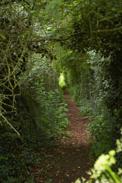
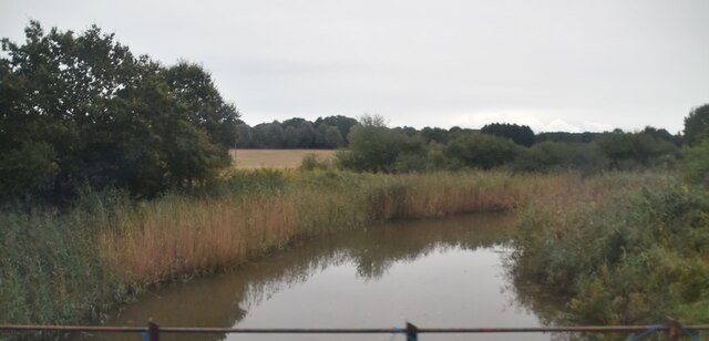
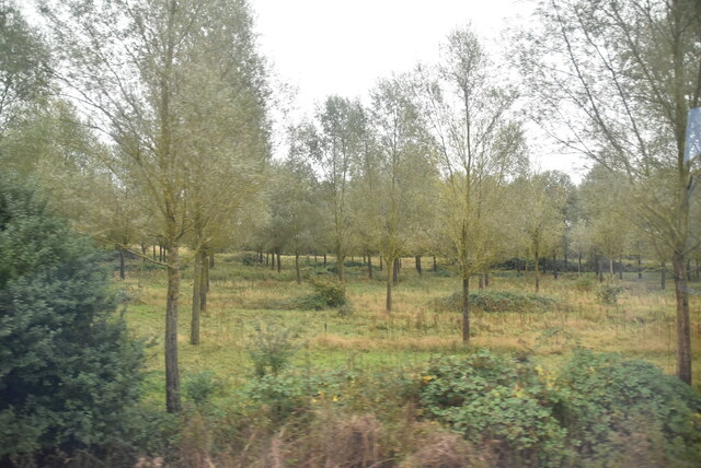
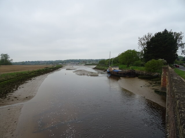
The parish is surrounded by picturesque countryside and is bordered by the River Deben to the east, offering residents and visitors opportunities for outdoor activities such as walking, fishing, and boating. Melton also benefits from its proximity to the Suffolk Coast and Heaths Area of Outstanding Natural Beauty, making it an attractive destination for nature enthusiasts.

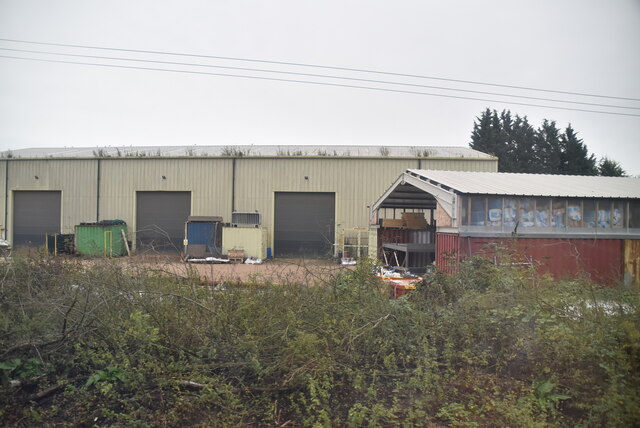
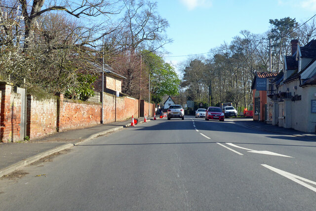
The village itself has a charming character, with a mix of traditional thatched cottages and more modern houses. It features a range of amenities to cater to the needs of the local community, including a primary school, a post office, a village hall, and a selection of shops and pubs.

Melton has a rich history, with evidence of human habitation in the area dating back to the Bronze Age. It is home to several notable landmarks, including St. Andrew's Church, a beautiful medieval parish church that is still in use today.

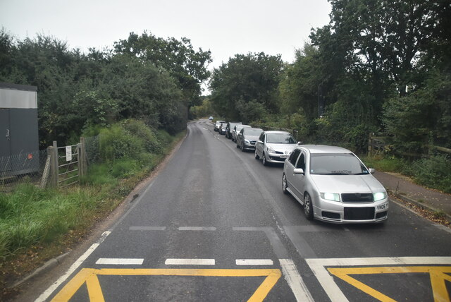
Transport links in Melton are convenient, with regular bus services connecting the village to nearby towns and cities. The A12 road is easily accessible, providing connections to Ipswich and London, while the nearest train station is in nearby Woodbridge.

Overall, Melton offers a peaceful and idyllic setting for residents, with its natural beauty, historical sites, and community amenities making it an attractive place to live or visit.

If you have any feedback on the listing, please let us know in the comments section below.
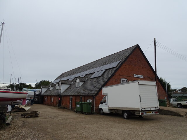
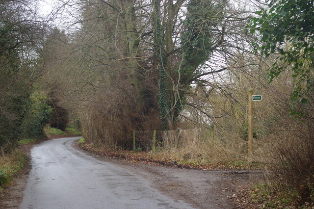
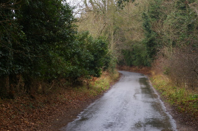
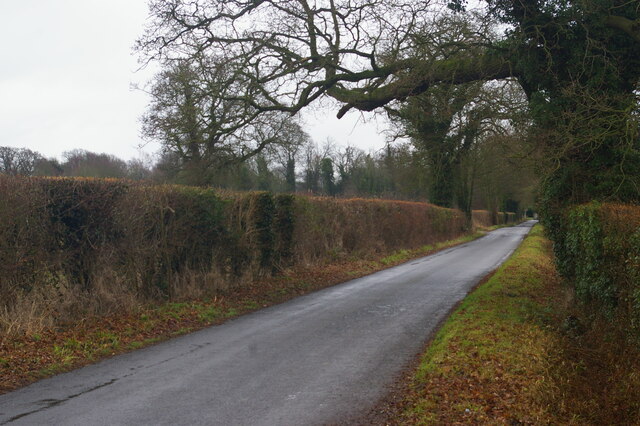
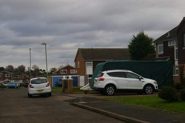
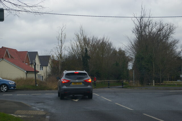
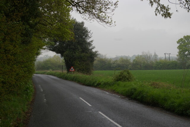
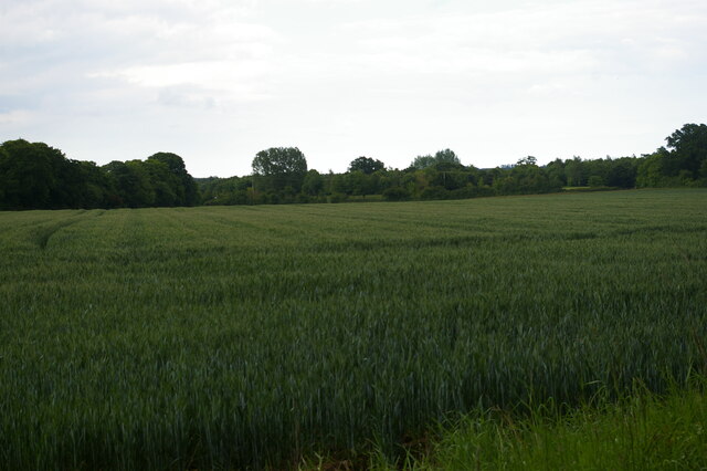
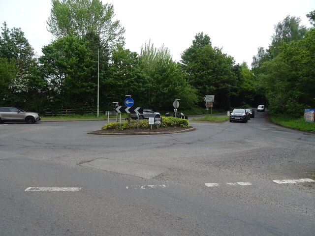
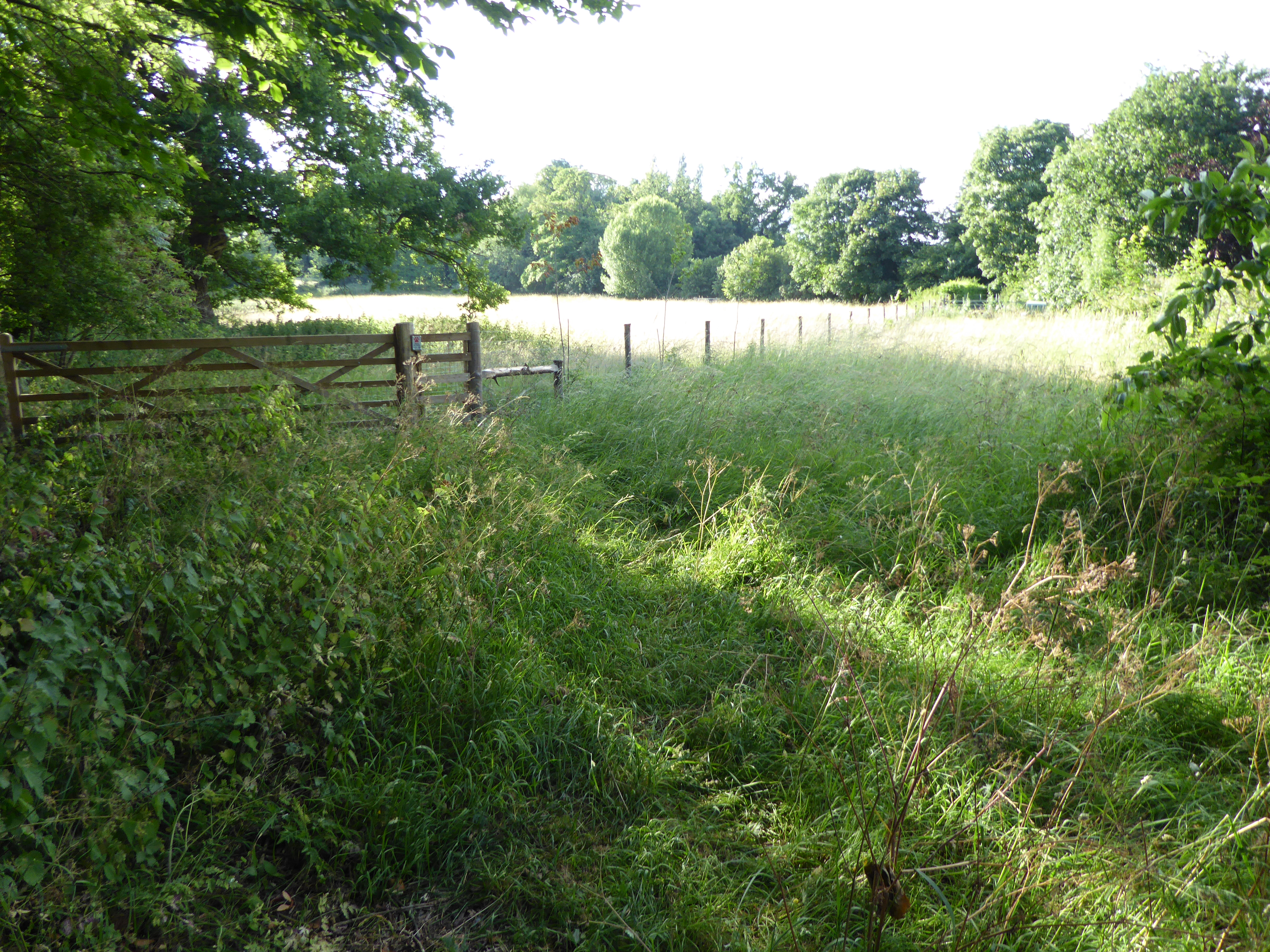
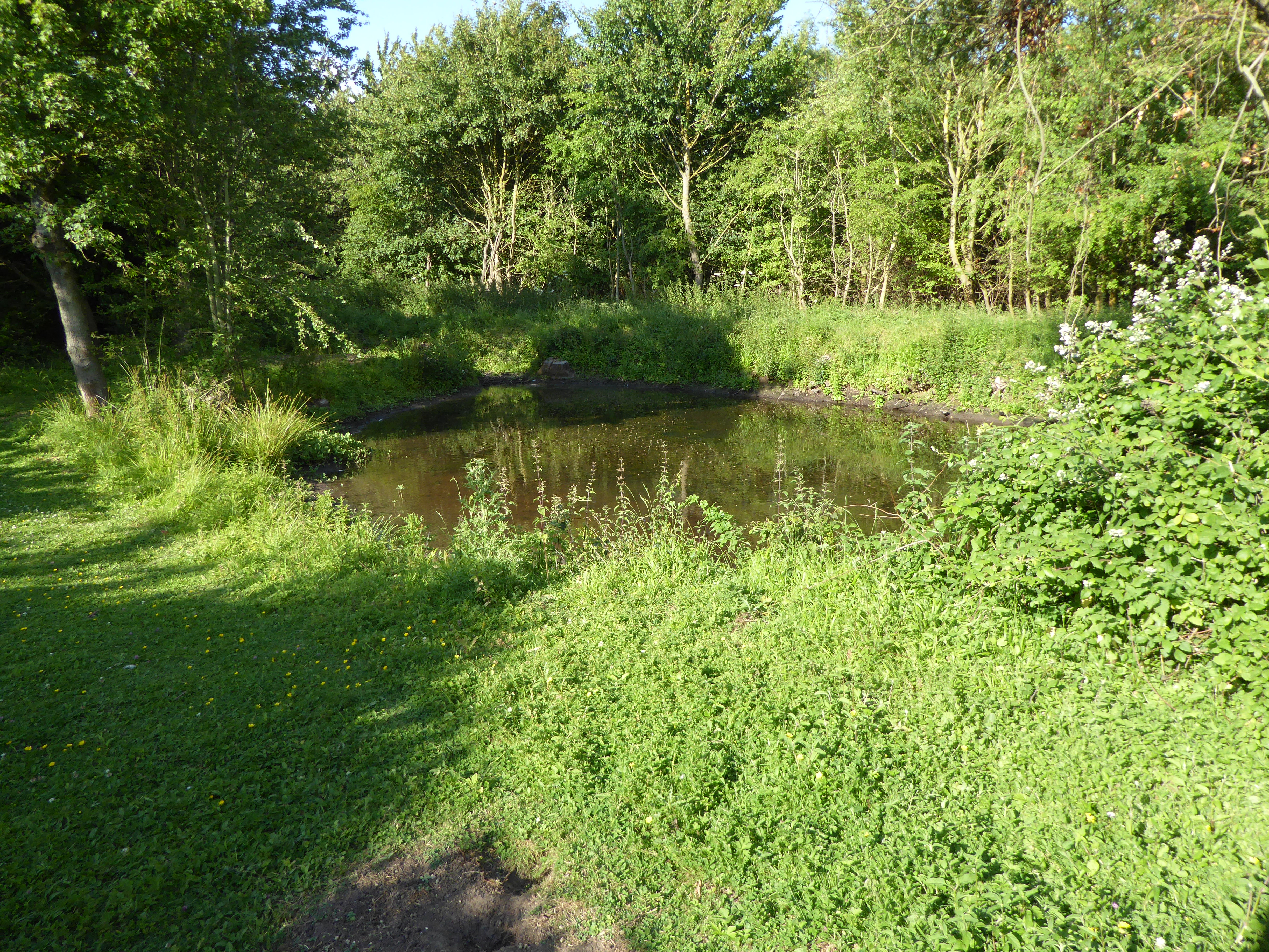
Melton Images

Images are sourced within 2km of 52.109079/1.330634 or Grid Reference TM2850. Thanks to Geograph Open Source API. All images are credited.

The Granary
The Granary
New Road, Melton
New Road, Melton
New Road, Melton
New Road, Melton
Saddlemakers' Lane, Melton
Orchard Close, Woodbridge
Bredfield Road, Woodbridge
Lane leading into Bredfield from the south
Field off Lodge Farm Lane
Footpath heading south at Hospital Grove
River Deben The recognised source is to the west of Debenham, though a second, higher source runs south from the parish of Bedingfield. The river, which is just over 33 miles long, passes through Woodbridge, where it becomes a tidal estuary before emptying into the North Sea between Felixstowe and Bawdsey at Harwich Haven.
River Deben
The recognised source is to the west of Debenham, though a second, higher source runs south from the parish of Bedingfield. The river, which is just over 33 miles long, passes through Woodbridge, where it becomes a tidal estuary before emptying into the North Sea between Felixstowe and Bawdsey at Harwich Haven.
Open woodland
Open woodland
Industrial units
Industrial units
Wilford Bridge Rd <span class="nowrap"><a title="https://en.wikipedia.org/wiki/A1152_road" rel="nofollow ugc noopener" href="https://en.wikipedia.org/wiki/A1152_road">Link</a><img style="margin-left:2px;" alt="External link" title="External link - shift click to open in new window" src="https://s1.geograph.org.uk/img/external.png" width="10" height="10"/></span>
Wilford Bridge Rd
B1438 Melton Road Towards Melton village centre from Woodbridge.
B1438 Melton Road
Towards Melton village centre from Woodbridge.
A1152 Orford Road Towards Orford, but the A1152 turns away from the Orford road towards Snape. It does not even reach that, becoming a B road after Rendlesham where a former American air base, RAF Bentwaters, was probably the reason for its A status.
A1152 Orford Road
Towards Orford, but the A1152 turns away from the Orford road towards Snape. It does not even reach that, becoming a B road after Rendlesham where a former American air base, RAF Bentwaters, was probably the reason for its A status.
Level crossing at Melton On the East Suffolk line between Ipswich and Lowestoft.
Level crossing at Melton
On the East Suffolk line between Ipswich and Lowestoft.
Roundabout on the A1152
River Deben from Wilford Bridge
Show me another place!

Melton is located at Grid Ref: TM2850 (Lat: 52.109079, Lng: 1.330634)

Administrative County: Suffolk

District: East Suffolk

Police Authority: Suffolk

What 3 Words

///voice.successor.necklaces. Near Woodbridge, Suffolk

Nearby Locations

Melton Melton

Related Wikis

Melton, Suffolk

Melton is a village in Suffolk, England, located approximately one mile northeast of Woodbridge. The 2001 census recorded a population of 3,718, the population...

Hutchison's Meadow

Hutchison's Meadow is a one hectare nature reserve in Melton in Suffolk. It is owned and managed by the Suffolk Wildlife Trust.This is mixture of wet and...

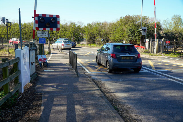
Melton railway station, Suffolk

Melton railway station is on the East Suffolk Line in the east of England, serving the village of Melton, Suffolk. It is 11 miles 49 chains (18.7 km) down...

St Audry's Hospital

St Audry's Hospital was a psychiatric hospital in Melton, Suffolk, England. == History == The facility has its origins in a house of industry which was...

Foxburrow Farm

Foxburrow Farm is a 67 hectare nature reserve north of Melton in Suffolk. It is managed by the Suffolk Wildlife Trust.Part of this site is a working farm...

Bromeswell Green

Bromeswell Green is a 7.2-hectare (18-acre) nature reserve in Bromeswell, east of Woodbridge in Suffolk. It is managed by the Suffolk Wildlife Trust.This...

Suffolk Coastal

Suffolk Coastal was a local government district in Suffolk, England. Its council was based in Melton, having moved from neighbouring Woodbridge in 2017...
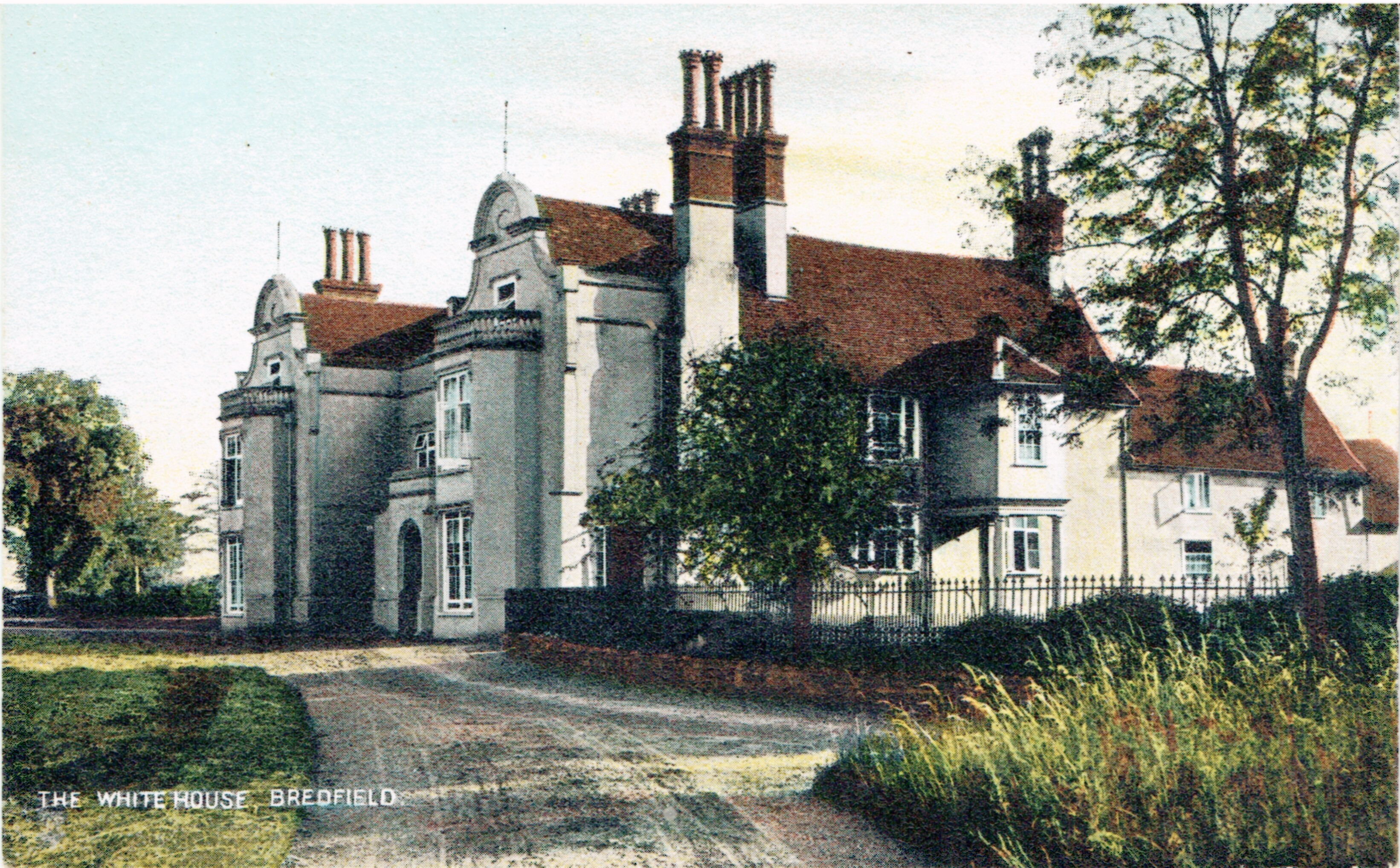
Bredfield House

Bredfield House (or White House as it was also known) was a now-demolished country house situated in the village of Bredfield, around 2 miles north of...

Related Videos

Walking Along The River of the Anglian Kings // From Woodbridge to Sutton Hoo

In August 2020 after months in my garden glued to editing software I escaped and went on a journey to Sutton Hoo. Thought I'd ...

Twee Gebroeders dog friendly luxury holiday barge in Suffolk

More information - https://woodfarmbarges.com/dog-friendly-holiday-barges/twee-gebroeders/ Or 'Two Brothers' in English, is a ...

Country Walking: Fynn Valley Walk. 15/9/22

A very decent 10 mile walk from Country Walking magazine, but also from a collection created by East Suffolk Line Walks.

Nearby Amenities

Located within 500m of 52.109079,1.330634
Traffic Signals
Lat/Long: 52.1049836/1.3298442
Melton
Is In: Suffolk
Place: village
Wikidata: Q3005257
Wikipedia: en:Melton, Suffolk
Lat/Long: 52.105752/1.3316632
Turning Circle
Naptan AtcoCode: 390060595
Naptan Bearing: E
Naptan BusStopType: CUS
Naptan CommonName: Turning Circle
Naptan Indicator: adj
Naptan Landmark: Turning Circle
Naptan NaptanCode: sufgtawd
Naptan Street: St Andrews Place
Naptan Verified: no
Source: naptan_import
Lat/Long: 52.107546/1.3374952
Bus Stop
Chapel
Bus: yes
Naptan AtcoCode: 390060599
Naptan Bearing: S
Naptan CommonName: Chapel
Naptan Indicator: adj
Naptan Landmark: Chapel
Naptan NaptanCode: sufgtawp
Naptan Street: The Street
Public Transport: platform
Source: naptan_import
Timetable Case: yes
Lat/Long: 52.1061384/1.3313556
Bus Stop
Chapel
Bus: yes
Naptan AtcoCode: 390060600
Naptan Bearing: N
Naptan CommonName: Chapel
Naptan Indicator: opp
Naptan Landmark: Chapel
Naptan NaptanCode: sufgtawt
Naptan Street: The Street
Public Transport: platform
Shelter: yes
Source: naptan_import
Timetable Case: yes
Lat/Long: 52.1063177/1.3313813
Bus Stop
St Andrews Place
Bus: yes
Naptan AtcoCode: 390060601
Naptan Bearing: SE
Naptan CommonName: St Andrews Place
Naptan Indicator: adj
Naptan Landmark: St Andrews Place
Naptan NaptanCode: sufgtdad
Naptan Street: Station Road
Naptan Verified: no
Public Transport: platform
Source: naptan_import
Lat/Long: 52.106221/1.3341046
Bus Stop
St Andrews Place
Bus: yes
Naptan AtcoCode: 390060602
Naptan Bearing: NW
Naptan BusStopType: CUS
Naptan CommonName: St Andrews Place
Naptan Indicator: opp
Naptan Landmark: St Andrews Place
Naptan NaptanCode: sufgtdag
Naptan Street: Station Road
Naptan Verified: no
Public Transport: platform
Source: naptan_import
Lat/Long: 52.1060998/1.3339587
Bus Stop
Tollgate Cottages
Naptan AtcoCode: 390060603
Naptan Bearing: SW
Naptan CommonName: Tollgate Cottages
Naptan Indicator: adj
Naptan Landmark: Tollgate Cottages
Naptan NaptanCode: sufgtdaj
Naptan Street: Yarmouth Road
Shelter: yes
Source: naptan_import
Lat/Long: 52.1101342/1.3348832
Bus Stop
Tollgate Cottages
Naptan AtcoCode: 390060604
Naptan Bearing: NE
Naptan BusStopType: CUS
Naptan CommonName: Tollgate Cottages
Naptan Indicator: opp
Naptan Landmark: Tollgate Cottages
Naptan NaptanCode: sufgtdam
Naptan Street: Yarmouth Road
Note: there is a pole
Source: naptan_import
Lat/Long: 52.1102449/1.3347716
Post Box
Post Box Type: lamp
Ref: IP12 6390
Lat/Long: 52.1061202/1.3345445
Post Box
Collection Times: Mo-Fr 09:00; Sa 07:00
Operator: Royal Mail
Operator Wikidata: Q638098
Post Box Mounting: pier
Post Box Type: lamp
Ref: IP12 6378D
Royal Cypher: EIIR
Royal Cypher Wikidata: Q33102113
Lat/Long: 52.1062594/1.3266349
Post Box
Collection Times: Mo-Fr 17:30; Sa 09:00
Post Box Type: pillar
Ref: IP12 6308
Royal Cypher: EIIR
Royal Cypher Wikidata: Q33102113
Lat/Long: 52.1064511/1.3320383
Entrance: main
Lat/Long: 52.1063957/1.3340981
Addr City: Woodbridge
Addr Housenumber: 28
Addr Street: Woods Lane
Addr Suburb: Melton
Lat/Long: 52.1056646/1.3268822
Generator Method: photovoltaic
Generator Output Electricity: yes
Generator Source: solar
Generator Type: solar_photovoltaic_panel
Location: roof
Power: generator
Lat/Long: 52.1073322/1.3290399
Generator Method: photovoltaic
Generator Output Electricity: yes
Generator Source: solar
Generator Type: solar_photovoltaic_panel
Location: roof
Power: generator
Lat/Long: 52.1069879/1.3278812
Generator Method: photovoltaic
Generator Output Electricity: yes
Generator Source: solar
Generator Type: solar_photovoltaic_panel
Location: roof
Power: generator
Lat/Long: 52.1066765/1.3291392
Parking
Lat/Long: 52.1070101/1.3359453
Parking
Lat/Long: 52.1069129/1.3355885
Parking
Lat/Long: 52.1049368/1.3310677
Parking
Lat/Long: 52.1048454/1.3310355
Crossing
Lat/Long: 52.105063/1.3296019
Crossing
Button Operated: yes
Lat/Long: 52.1049049/1.3301094
Melton Lodge
Place: isolated_dwelling
Lat/Long: 52.1103079/1.3307545
Lodge Farm
Place: hamlet
Lat/Long: 52.1112871/1.3283168
Addr City: Woodbridge
Addr Housenumber: 12
Addr Street: Nightingale Close
Addr Suburb: Melton
Lat/Long: 52.1071574/1.3259694
Addr City: Woodbridge
Addr Housenumber: 13
Addr Street: Nightingale Close
Addr Suburb: Melton
Lat/Long: 52.1071902/1.3260391
Addr City: Woodbridge
Addr Housenumber: 11
Addr Street: Nightingale Close
Addr Suburb: Melton
Lat/Long: 52.107087/1.3260313
Addr City: Woodbridge
Addr Housenumber: 26
Addr Street: Woods Lane
Addr Suburb: Melton
Lat/Long: 52.1056569/1.3270189
Addr City: Woodbridge
Addr Housenumber: 20
Addr Street: Woods Lane
Addr Suburb: Melton
Lat/Long: 52.1056605/1.3273164
Addr City: Woodbridge
Addr Housenumber: 18
Addr Street: Woods Lane
Addr Suburb: Melton
Lat/Long: 52.1056335/1.3273577
Addr City: Woodbridge
Addr Housenumber: 14
Addr Street: Woods Lane
Addr Suburb: Melton
Lat/Long: 52.1056266/1.3274846
Addr City: Woodbridge
Addr Housenumber: 16
Addr Street: Woods Lane
Addr Suburb: Melton
Lat/Long: 52.1056531/1.3275353
Addr City: Woodbridge
Addr Housenumber: 12
Addr Street: Woods Lane
Addr Suburb: Melton
Lat/Long: 52.1056387/1.3277076
Addr City: Woodbridge
Addr Housenumber: 10
Addr Street: Woods Lane
Addr Suburb: Melton
Lat/Long: 52.1056057/1.3277542
Addr City: Woodbridge
Addr Housenumber: 6
Addr Street: Woods Lane
Addr Suburb: Melton
Lat/Long: 52.1055891/1.327878
Addr City: Woodbridge
Addr Housenumber: 8
Addr Street: Woods Lane
Addr Suburb: Melton
Lat/Long: 52.1056076/1.3279431
Addr City: Woodbridge
Addr Housenumber: 4
Addr Street: Woods Lane
Addr Suburb: Melton
Lat/Long: 52.105553/1.3281745
Addr City: Woodbridge
Addr Housenumber: 2
Addr Street: Woods Lane
Addr Suburb: Melton
Lat/Long: 52.1055271/1.328362
Fast Food
Melton Fish Bar
Cuisine: fish_and_chips
Lat/Long: 52.1067301/1.3326243
Defibrillator
Defibrillator Location: On the front wall of the Parish Hall, The Street
Emergency: defibrillator
Indoor: no
Ref: not marked
Ref GB The Circuit: AAD7880F-71CD-406E-9BFC-AD3A00E50D4A
Lat/Long: 52.1057738/1.3309316
Post Box
Operator: Royal Mail
Operator Wikidata: Q638098
Post Box Mounting: brick_wall
Post Box Type: wall
Ref: IP12 6261
Lat/Long: 52.1100484/1.3346089
The data included in this document is from www.openstreetmap.org. The data is made available under ODbL.

Have you been to Melton?

Leave your review of Melton below (or comments, questions and feedback).