Maisemore

Civil Parish in Gloucestershire Tewkesbury

England

Maisemore

New path at Highnam
New path at Highnam Credit: don cload

Maisemore is a civil parish located in the county of Gloucestershire, England. Situated just 4 miles northwest of the historic city of Gloucester, it covers an area of approximately 7 square miles. The parish is bordered by the River Severn to the east, offering picturesque views and recreational opportunities for residents and visitors alike.

The village of Maisemore itself is small and charming, with a population of around 500 people. It has a rich history, dating back to the Domesday Book in 1086, and is known for its traditional Cotswold stone buildings and thatched roofs. The parish also includes the hamlet of Over, which is located to the west.

Despite its small size, Maisemore offers several amenities to its residents. These include a primary school, a village hall, a post office, and a local pub, providing a sense of community and convenience. The surrounding countryside provides ample opportunities for outdoor activities such as walking, cycling, and boating.

Notably, Maisemore is home to the Maisemore Court Farm, a popular tourist attraction that hosts various events throughout the year, including agricultural shows and fairs. The farm also offers a farm shop, selling locally sourced produce.

Overall, Maisemore, Gloucestershire, is a picturesque and historic civil parish that offers a peaceful rural lifestyle with access to nearby urban amenities. Its beautiful surroundings, community spirit, and rich heritage make it an attractive place to live or visit.

If you have any feedback on the listing, please let us know in the comments section below.
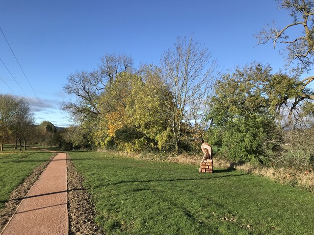
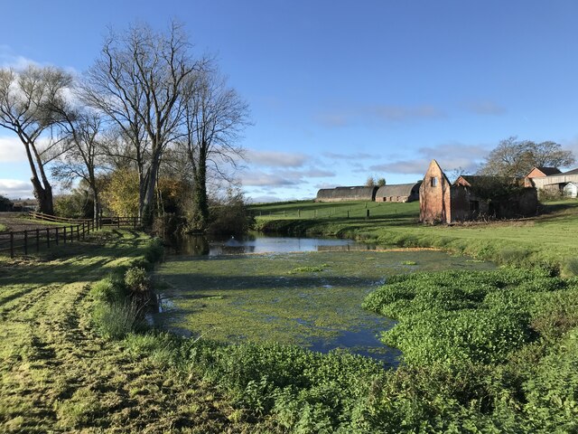
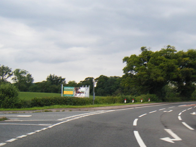
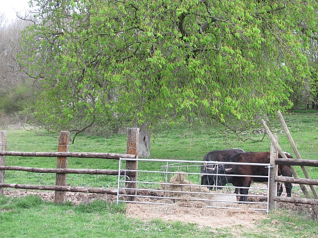
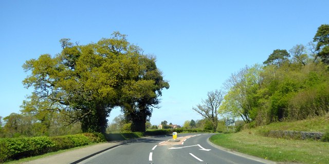
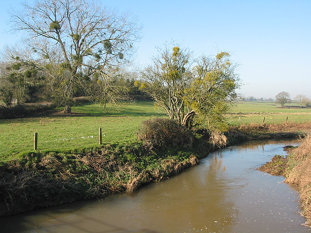
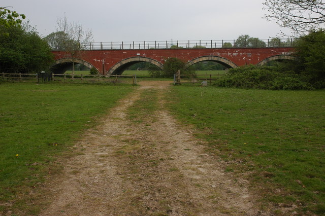
Maisemore Images

Images are sourced within 2km of 51.895861/-2.275247 or Grid Reference SO8121. Thanks to Geograph Open Source API. All images are credited.

New path at Highnam
New path at Highnam
Pond at Lassington
Pond at Lassington
The graveyard and remains of St Oswald's Church
A417 junction north of Old Farm
Gloucester cattle
Gloucester cattle
St Oswald's The lost Church of Lassington.
St Oswald's
The lost Church of Lassington.
The tower of St Oswald's Church, Lassington The rest of the church was demolished as unsafe in the 1970s.
The tower of St Oswald's Church, Lassington
The rest of the church was demolished as unsafe in the 1970s.
The tower of St Oswald's Church, Lassington
Pond at Lassington
Pond at Lassington
Gravestones and the tower of St Oswald's Church, Lassington
Church of St Oswald Tower, Highnam St Oswald's Church, Lassington, is a redundant Anglican church in the village of Lassington and the civil parish of Highnam, Gloucestershire, England. Only its tower now survives. The tower is designated by English Heritage as a Grade II* listed building and is under the care of the Churches Conservation Trust.
Church of St Oswald Tower, Highnam
St Oswald's Church, Lassington, is a redundant Anglican church in the village of Lassington and the civil parish of Highnam, Gloucestershire, England. Only its tower now survives. The tower is designated by English Heritage as a Grade II* listed building and is under the care of the Churches Conservation Trust.
The tower of the former St. Oswald's church, Lassington The body of the church was demolished in 1975.
The tower of the former St. Oswald's church, Lassington
The body of the church was demolished in 1975.
A417 passing Woolridge Wood The arrows on the road are for the turning to Hartpury College
A417 passing Woolridge Wood
The arrows on the road are for the turning to Hartpury College
Residential road in Highnam
Oilseed rape on Chargy Hill Fields of oilseed rape on Chargy Hill with the Vale of Gloucester in the distance.
Oilseed rape on Chargy Hill
Fields of oilseed rape on Chargy Hill with the Vale of Gloucester in the distance.
Road to Hartpury Road to Hartpury on Chargy Hill
Road to Hartpury
Road to Hartpury on Chargy Hill
Arable land at Maisemore View across arable land to Maisemore with the village church tower visible in the middle distance.
Arable land at Maisemore
View across arable land to Maisemore with the village church tower visible in the middle distance.
Road to Hartpury Road to Hartpury from Maisemore.
Road to Hartpury
Road to Hartpury from Maisemore.
Show me another place!

Maisemore is located at Grid Ref: SO8121 (Lat: 51.895861, Lng: -2.275247)

Administrative County: Gloucestershire

District: Tewkesbury

Police Authority: Gloucestershire

What 3 Words

///smirking.buildings.dressing. Near Gloucester, Gloucestershire

Related Wikis

Maisemore

Maisemore is a village and civil parish in Gloucestershire, England. It lies on the A417 road 2.5 miles (4 km) northwest of Gloucester, on the west bank...

Woolridge

Woolridge is a village in Gloucestershire, England.

St Oswald's Church, Lassington

St Oswald's Church was an Anglican church in the village of Lassington and the civil parish of Highnam, Gloucestershire, England. Only the tower survived...

Lassington Wood

Lassington Wood is a nature reserve near Highnam, Gloucestershire. Part of the estate of the Guise family since the 13th century it was donated to Gloucester...

River Leadon

The River Leadon () is a river in Herefordshire and Gloucestershire, England, a tributary of the River Severn. It rises just south of the village of Acton...

Sandhurst, Gloucestershire

Sandhurst is a village just outside Gloucester, England. The parish church and Wallsworth Hall are Grade II* listed buildings. The River Severn is the...

St Lawrence's Church, Sandhurst

The Church of St Lawrence is a Grade II* listed Church of England church in Sandhurst, Gloucestershire.It was rebuilt to a design by Thomas Fulljames in...

Alney Island

Alney Island is an island in the River Severn near Gloucester, Gloucestershire, England. The Severn splits into two channels (known as East Channel and...

Nearby Amenities

Located within 500m of 51.895861,-2.275247
Maisemore Court
Landuse: farm
Note Retag: CS #48756035
Lat/Long: 51.8923056/-2.2711185
Barrier: stile
Foot: designated
Material: wood
Stile: stepover
Lat/Long: 51.8955972/-2.2719572
Barrier: stile
Foot: designated
Material: wood
Stile: stepover
Lat/Long: 51.89497/-2.2728781
Barrier: stile
Material: wood
Stile: squeezer
Lat/Long: 51.8964062/-2.2702238
Barrier: stile
Material: wood
Stile: stepover
Lat/Long: 51.8963961/-2.2702433
Power: pole
Lat/Long: 51.8997667/-2.2730139
Power: pole
Lat/Long: 51.899645/-2.2745106
Power: pole
Lat/Long: 51.8995201/-2.2759925
Power: pole
Lat/Long: 51.8987654/-2.2769608
Power: pole
Lat/Long: 51.8989052/-2.2784655
Power: pole
Lat/Long: 51.8990542/-2.280044
Astmans Poultry
Location Transition: yes
Power: pole
Transformer: distribution
Voltage Primary: 11000
Lat/Long: 51.8980049/-2.2815433
Location Transition: yes
Power: pole
Lat/Long: 51.8986388/-2.2797436
Power: pole
Lat/Long: 51.8977459/-2.2791186
Power: pole
Lat/Long: 51.8968455/-2.2784869
Power: pole
Lat/Long: 51.8960812/-2.2779478
Power: pole
Lat/Long: 51.8954005/-2.2772947
Maisemore School
Power: pole
Transformer: distribution
Voltage Primary: 11000
Lat/Long: 51.8949586/-2.276769
Power: pole
Lat/Long: 51.8940184/-2.2760019
St Giles Church
Power: pole
Transformer: distribution
Voltage Primary: 11000
Lat/Long: 51.8935417/-2.2716151
Power: pole
Lat/Long: 51.8934482/-2.2722092
Power: pole
Lat/Long: 51.8933629/-2.2727631
Power: pole
Lat/Long: 51.8932818/-2.2732915
Power: pole
Lat/Long: 51.8932156/-2.2739366
Power: pole
Lat/Long: 51.8930882/-2.2752629
Power: pole
Lat/Long: 51.8923565/-2.2746916
Power: pole
Lat/Long: 51.8916249/-2.2741049
The data included in this document is from www.openstreetmap.org. The data is made available under ODbL.

Have you been to Maisemore?

Leave your review of Maisemore below (or comments, questions and feedback).