Maisemore

Settlement in Gloucestershire Tewkesbury

England

Maisemore

The 'White Hart' Maisemore
The 'White Hart' Maisemore Credit: Roger Cornfoot

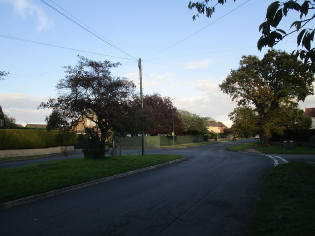
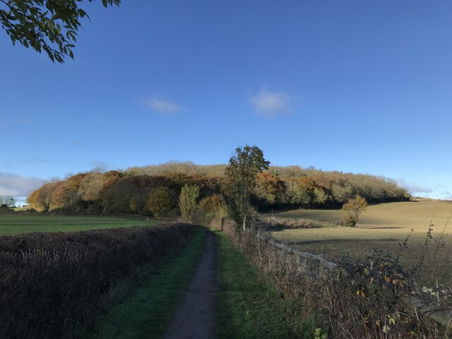
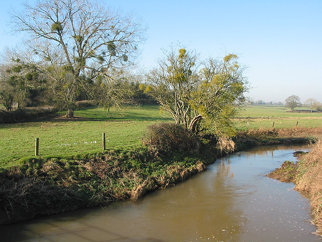
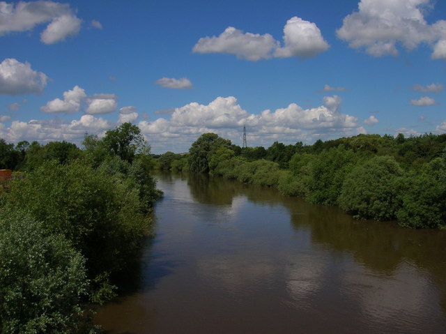
Maisemore is a small village located in the county of Gloucestershire, England. Situated on the banks of the River Severn, it is approximately four miles northwest of the city of Gloucester. The village is surrounded by picturesque countryside, boasting scenic views and a tranquil atmosphere.

The history of Maisemore dates back to ancient times, with evidence of Roman and Saxon settlements in the area. Over the years, it has evolved into a charming rural community. The village is known for its traditional architecture, with many buildings showcasing the characteristic Cotswold stone.

Despite its small size, Maisemore offers a range of amenities and services for its residents and visitors. These include a primary school, a village hall, a post office, and a local pub that serves as a social hub. The village also has a cricket club and a football team, fostering a strong sense of community and providing recreational opportunities.

Nature enthusiasts are drawn to Maisemore for its proximity to the River Severn and the surrounding countryside. The river offers opportunities for boating, fishing, and scenic walks along its banks. The village is also close to the Forest of Dean, a popular destination for outdoor activities such as hiking and mountain biking.

Overall, Maisemore is a charming village that combines natural beauty with a close-knit community. Its idyllic setting and range of amenities make it an attractive place to live or visit for those seeking a peaceful and picturesque countryside experience.

If you have any feedback on the listing, please let us know in the comments section below.
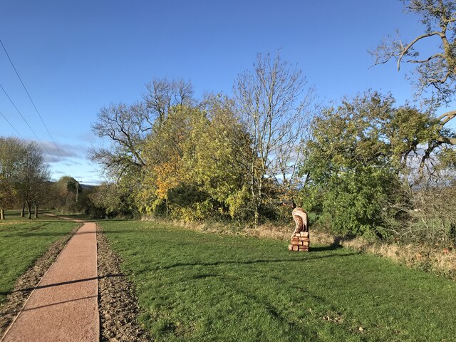
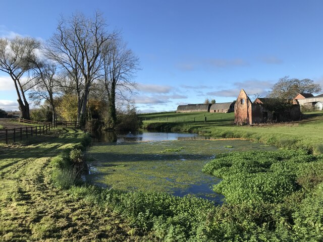
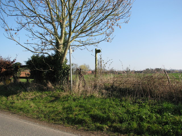
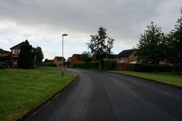
Maisemore Images

Images are sourced within 2km of 51.889295/-2.276151 or Grid Reference SO8121. Thanks to Geograph Open Source API. All images are credited.

The 'White Hart' Maisemore
Maidenhall, Highnam The main avenue has a grassy central strip.
Maidenhall, Highnam
The main avenue has a grassy central strip.
New path at Highnam
New path at Highnam
Pond at Lassington
Pond at Lassington
The graveyard and remains of St Oswald's Church
Footpaths around Highnam
St Oswald's The lost Church of Lassington.
St Oswald's
The lost Church of Lassington.
Oakridge (road) at Highnam
The tower of St Oswald's Church, Lassington The rest of the church was demolished as unsafe in the 1970s.
The tower of St Oswald's Church, Lassington
The rest of the church was demolished as unsafe in the 1970s.
The tower of St Oswald's Church, Lassington
Pond at Lassington
Pond at Lassington
Gravestones and the tower of St Oswald's Church, Lassington
Church of St Oswald Tower, Highnam St Oswald's Church, Lassington, is a redundant Anglican church in the village of Lassington and the civil parish of Highnam, Gloucestershire, England. Only its tower now survives. The tower is designated by English Heritage as a Grade II* listed building and is under the care of the Churches Conservation Trust.
Church of St Oswald Tower, Highnam
St Oswald's Church, Lassington, is a redundant Anglican church in the village of Lassington and the civil parish of Highnam, Gloucestershire, England. Only its tower now survives. The tower is designated by English Heritage as a Grade II* listed building and is under the care of the Churches Conservation Trust.
The tower of the former St. Oswald's church, Lassington The body of the church was demolished in 1975.
The tower of the former St. Oswald's church, Lassington
The body of the church was demolished in 1975.
Maidenhall, Highnam A large suburban development.
Maidenhall, Highnam
A large suburban development.
Oakridge, Highnam A distribution road surrounding the expanded village of Highnam.
Oakridge, Highnam
A distribution road surrounding the expanded village of Highnam.
Maisemore Bridge, Maisemore Stone-faced concrete, built in 1956 by Harold Stratton Davis. A nearby plaque records that this is at least the sixth bridge on the site, the earliest probably dating back to c1230.
It carries the A417 over the Severn.
Maisemore Bridge, Maisemore
Stone-faced concrete, built in 1956 by Harold Stratton Davis. A nearby plaque records that this is at least the sixth bridge on the site, the earliest probably dating back to c1230. It carries the A417 over the Severn.
Lassington Hill
Lassington Hill
Show me another place!

Maisemore is located at Grid Ref: SO8121 (Lat: 51.889295, Lng: -2.276151)

Administrative County: Gloucestershire

District: Tewkesbury

Police Authority: Gloucestershire

What 3 Words

///enhancement.shields.germinate. Near Gloucester, Gloucestershire

Related Wikis

Maisemore

Maisemore is a village and civil parish in Gloucestershire, England. It lies on the A417 road 2.5 miles (4 km) northwest of Gloucester, on the west bank...

Lassington Wood

Lassington Wood is a nature reserve near Highnam, Gloucestershire. Part of the estate of the Guise family since the 13th century it was donated to Gloucester...

River Leadon

The River Leadon () is a river in Herefordshire and Gloucestershire, England, a tributary of the River Severn. It rises just south of the village of Acton...

St Oswald's Church, Lassington

St Oswald's Church was an Anglican church in the village of Lassington and the civil parish of Highnam, Gloucestershire, England. Only the tower survived...

Woolridge

Woolridge is a village in Gloucestershire, England.

Alney Island

Alney Island is an island in the River Severn near Gloucester, Gloucestershire, England. The Severn splits into two channels (known as East Channel and...

Herefordshire and Gloucestershire Canal Trust

The Herefordshire and Gloucestershire Canal Trust is a British organisation whose main aim is the restoration of the Herefordshire and Gloucestershire...

Over, Tewkesbury

Over is a village in Gloucestershire, England, 2 mi (3.2 km) west of Gloucester. It lies on the A40 road in the parish of Highnam, on the west bank of...

Nearby Amenities

Located within 500m of 51.889295,-2.276151
Maisemore
Is In: Gloucester, Gloucestershire, England, UK
Place: village
Postal Code: GL2 8
Lat/Long: 51.8896756/-2.2723105
Bus Stop
The White Hart
Bench: no
Bin: no
Bus: yes
Check Date Bin: 2023-03-04
Naptan AtcoCode: 1600GL3154
Naptan Bearing: SE
Naptan CommonName: The White Hart
Naptan Indicator: o/s
Naptan NaptanCode: gloawgpw
Naptan Street: A417
Naptan Verified: no
Public Transport: platform
Shelter: no
Source: naptan_import
Lat/Long: 51.8892762/-2.2689735
Bus Stop
Persh Lane
Bus: yes
Naptan AtcoCode: 1600GLN001
Naptan Bearing: NW
Naptan CommonName: Persh Lane
Naptan Indicator: corner of
Naptan NaptanCode: gloawdtd
Naptan Street: A417
Naptan Verified: no
Public Transport: platform
Source: naptan_import
Lat/Long: 51.8899068/-2.2759564
Bus Stop
Persh Lane
Bench: yes
Bin: yes
Bus: yes
Naptan AtcoCode: 1600GLN002
Naptan Bearing: SE
Naptan CommonName: Persh Lane
Naptan Indicator: opp
Naptan NaptanCode: gloawdtm
Naptan Street: A417
Naptan Verified: no
Public Transport: platform
Shelter: yes
Source: naptan_import
Lat/Long: 51.8899128/-2.2756167
Barrier: cattle_grid
Source: OS OpenData StreetView
Lat/Long: 51.8862363/-2.2783686
Maisemore Court
Landuse: farm
Note Retag: CS #48756035
Lat/Long: 51.8923056/-2.2711185
Power: tower
Source: Bing
Lat/Long: 51.8856368/-2.2745454
Power: tower
Lat/Long: 51.8874745/-2.2791813
Post Box
Collection Times: Mo-Fr 18:15; Sa 10:45
Post Box Type: wall
Ref: GL2 240
Royal Cypher: VR
Royal Cypher Wikidata: Q33102356
Lat/Long: 51.8892791/-2.2689604
Passing Place
Lat/Long: 51.8916298/-2.2722516
Fixme: This telephone box appears to be missing on Street Level Imagery. Please confirm if it has been removed or is in a different location.
Mapillary: 608882933405909
Removed Amenity: telephone
Source: survey
Survey Date: 2020-09-17
Lat/Long: 51.8898838/-2.2754557
Post Box
Collection Times: Mo-Fr 16:15; Sa 10:15
Ref: GL2 59
Source: survey
Lat/Long: 51.8894929/-2.275977
Defibrillator
Access: yes
Defibrillator Location: Outside front door of village hall.
Emergency: defibrillator
Indoor: no
Opening Hours: 24/7
Wheelchair: yes
Lat/Long: 51.8905251/-2.2726817
Bench
Backrest: yes
Lat/Long: 51.8904813/-2.2733046
Waste Basket
Waste: trash
Lat/Long: 51.8905422/-2.2733905
Bicycle Parking
Bicycle Parking: stands
Capacity: 4
Lat/Long: 51.8904705/-2.2730013
Power: pole
Lat/Long: 51.8932818/-2.2732915
Power: pole
Lat/Long: 51.8932156/-2.2739366
Power: pole
Lat/Long: 51.8930882/-2.2752629
Power: pole
Lat/Long: 51.8923565/-2.2746916
White Hart
Power: transformer
Transformer: distribution
Voltage Primary: 11000
Lat/Long: 51.889751/-2.2694922
Power: pole
Lat/Long: 51.891161/-2.2702579
Power: pole
Lat/Long: 51.890904/-2.2712249
Location Transition: yes
Power: pole
Lat/Long: 51.8906507/-2.2721925
Power: pole
Lat/Long: 51.890774/-2.2728402
Power: pole
Lat/Long: 51.8909098/-2.2735262
Power: pole
Lat/Long: 51.8916249/-2.2741049
Power: pole
Lat/Long: 51.8911386/-2.2747701
Power: pole
Lat/Long: 51.8906681/-2.2754171
Power: pole
Lat/Long: 51.8903871/-2.2757826
Ledbury Road
Power: pole
Transformer: distribution
Voltage Primary: 11000
Lat/Long: 51.8901495/-2.2758631
Power: pole
Lat/Long: 51.8897299/-2.2760146
Power: pole
Lat/Long: 51.888795/-2.2763626
Persh Lane
Power: pole
Transformer: distribution
Voltage Primary: 11000
Lat/Long: 51.8884432/-2.2769085
Rectory Stables
Power: pole
Transformer: distribution
Voltage Primary: 11000
Lat/Long: 51.8881187/-2.2774234
Power: pole
Lat/Long: 51.8876469/-2.2781517
Power: pole
Lat/Long: 51.8871147/-2.2789657
Power: pole
Lat/Long: 51.8865866/-2.2794887
Power: pole
Lat/Long: 51.8860494/-2.280052
The data included in this document is from www.openstreetmap.org. The data is made available under ODbL.

Have you been to Maisemore?

Leave your review of Maisemore below (or comments, questions and feedback).