Longnor
Civil Parish in Shropshire
England
Longnor
Longnor is a civil parish located in the county of Shropshire, England. It is situated approximately 12 miles south of the county town of Shrewsbury. The parish covers an area of around 7 square miles and is predominantly rural in nature.
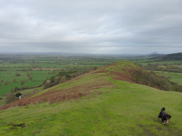
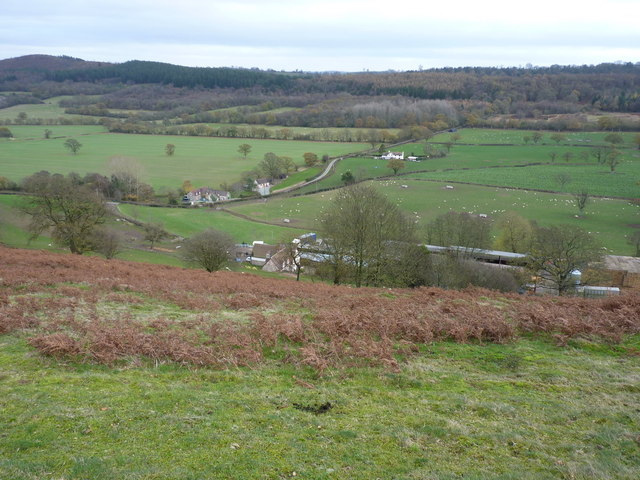
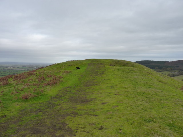
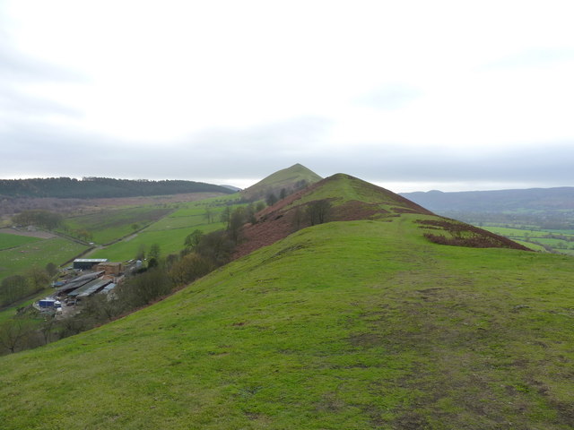
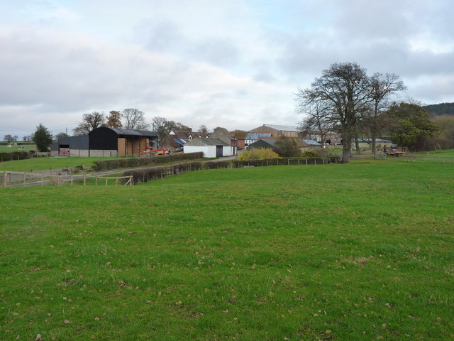
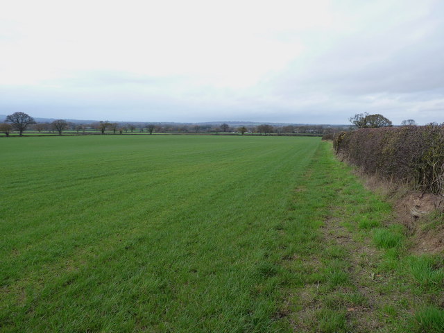
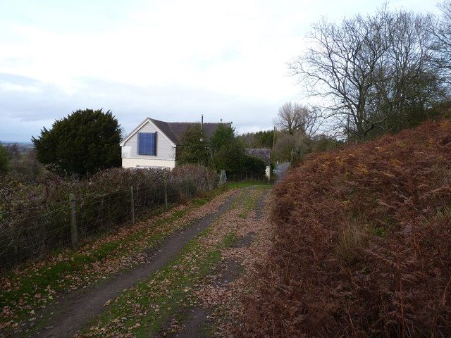
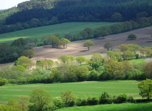
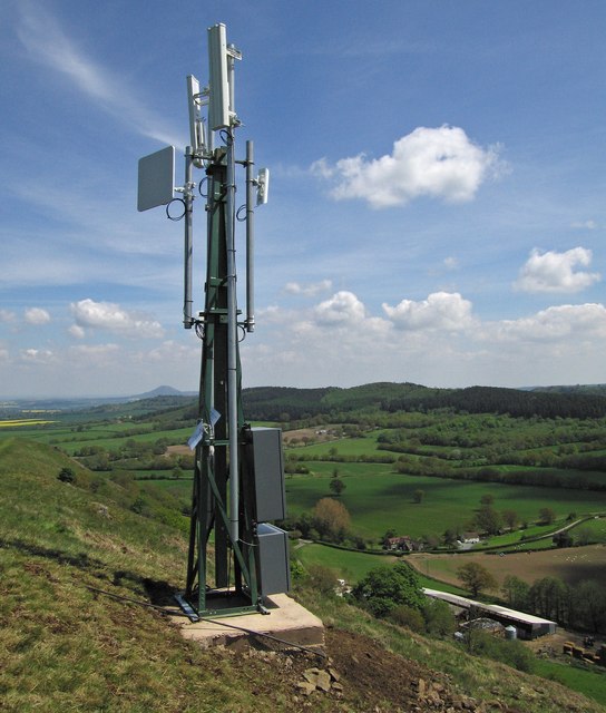
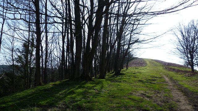
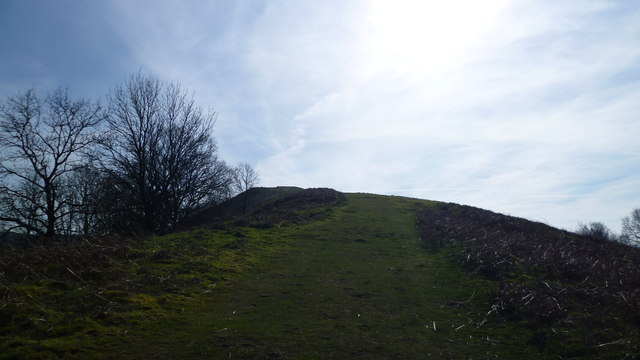
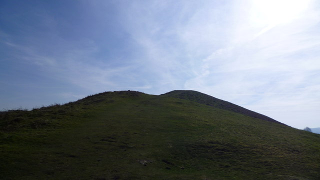
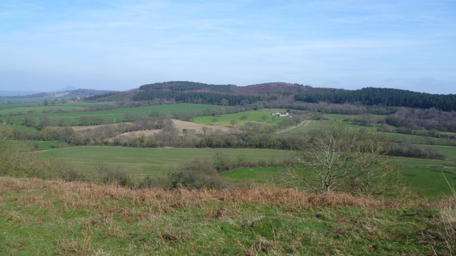
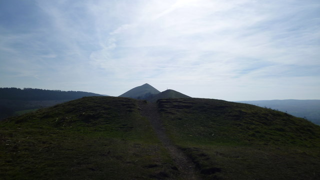
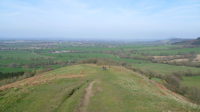
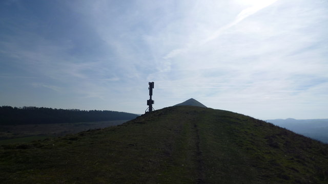
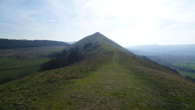
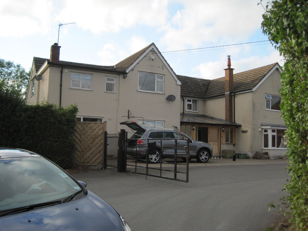
Longnor is characterized by its picturesque countryside, with rolling hills and lush green fields. The landscape is dotted with traditional farmhouses and barns, adding to the area's charm and rural character. The parish is also home to a number of small hamlets and settlements, including Longnor itself, which serves as the main village.
Longnor is well connected to neighboring towns and villages by a network of country lanes and roads. The A49 road runs through the western part of the parish, providing easy access to Shrewsbury and other major towns in the region. The parish is also served by several bus routes, ensuring convenient transportation options for residents and visitors.
The village of Longnor has a close-knit community and offers a range of amenities and services. These include a primary school, a church, a village hall, and a pub. The area also boasts a number of recreational opportunities, with ample opportunities for hiking, cycling, and horse riding in the surrounding countryside.
Overall, Longnor in Shropshire is a peaceful and idyllic rural parish, providing a tranquil escape from the hustle and bustle of city life. Its stunning natural beauty and strong sense of community make it an attractive place to live or visit for those seeking a slower pace of life.
If you have any feedback on the listing, please let us know in the comments section below.
Longnor Images
Images are sourced within 2km of 52.588534/-2.748151 or Grid Reference SO4999. Thanks to Geograph Open Source API. All images are credited.

Longnor is located at Grid Ref: SO4999 (Lat: 52.588534, Lng: -2.748151)
Unitary Authority: Shropshire
Police Authority: West Mercia
What 3 Words
///retrain.chatters.passenger. Near Longnor, Shropshire
Nearby Locations
Related Wikis

Longnor, Shropshire
Longnor is a village and civil parish off the A49 road, south of Dorrington and north of Leebotwood in Shropshire, England, with a population of 289. The...

Leebotwood
Leebotwood ( lee-BOT-wood) is a small village and civil parish in Shropshire, England. It is about 9 miles (14 km) south of Shrewsbury and 3.5 miles (5...
Leebotwood railway station
Leebotwood railway station was a station in Leebotwood, Shropshire, England. The station was opened in 1852 and closed in 1958. == References == ��2�...

Comley
Comley is a hamlet in Shropshire, England. It is near the A49 road, to the northeast of Church Stretton. It is situated between two prominent hills: Caer...

Frodesley
Frodesley ( FRODZ-lee) is a tiny village and civil parish in the English county of Shropshire, and is situated partly within the Shropshire Hills Area...

Shropshire
Shropshire (; historically Salop and abbreviated Shrops) is a landlocked ceremonial county in the West Midlands of England, on the Welsh border. It is...

Dorrington, Shropshire
Dorrington is a large village in Shropshire, England, it is located 6 miles (9.7 km) south of Shrewsbury. The population of the village was estimated as...

Great Ryton
Great Ryton is a small village in Shropshire, England, to the south of Shrewsbury. It is located less than 1 mile (1.6 kilometres) to the northeast of...
Nearby Amenities
Located within 500m of 52.588534,-2.748151Have you been to Longnor?
Leave your review of Longnor below (or comments, questions and feedback).