Broomershill

Settlement in Sussex Horsham

England

Broomershill

Pulborough Brooks in flood With more rain threatened from the evening sky.
Pulborough Brooks in flood Credit: Peter Jeffery

Broomershill is a small village located in the county of Sussex, England. It is nestled within the picturesque South Downs National Park, which adds to its charm and natural beauty. The village is situated approximately five miles northeast of the historic town of Lewes and is easily accessible via the A26 road.

The name Broomershill is believed to have derived from the abundance of broom plants that grow in the area, contributing to the village's rural and idyllic landscape. The village is surrounded by rolling hills, meadows, and woodlands, providing residents and visitors with ample opportunities for outdoor activities such as hiking, cycling, and bird-watching.

The village itself is quaint and peaceful, with a population of around 500 residents. It boasts a close-knit community, with a village hall serving as a central hub for various social events and gatherings. Broomershill is known for its well-preserved historic buildings, including traditional cottages and a charming church that dates back several centuries.

Though small, Broomershill offers basic amenities to its residents, including a local shop, a post office, and a primary school. For more extensive amenities, residents can easily access nearby towns such as Lewes or Uckfield, which provide a wider range of services, shops, and leisure facilities.

Overall, Broomershill provides a peaceful and scenic countryside retreat for those seeking a slower pace of life and a close connection to nature. Its natural beauty and strong community spirit make it an attractive place to live or visit in Sussex.

If you have any feedback on the listing, please let us know in the comments section below.
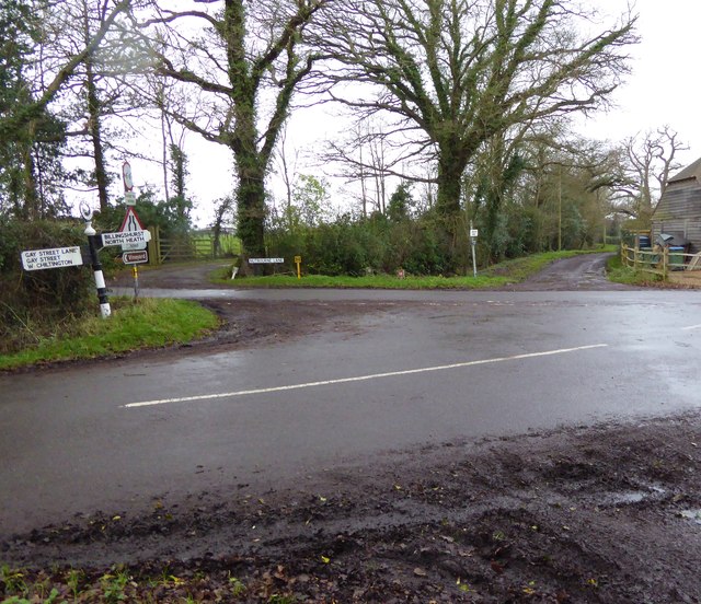
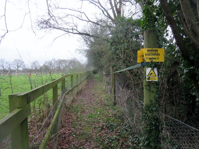
Broomershill Images

Images are sourced within 2km of 50.96551/-0.487591 or Grid Reference TQ0619. Thanks to Geograph Open Source API. All images are credited.

Pulborough Brooks in flood With more rain threatened from the evening sky.
Pulborough Brooks in flood
With more rain threatened from the evening sky.
Junction of Nutbourne and Gay Street Lanes with crossing footpath For a view the other way see <a title="https://www.geograph.org.uk/photo/298829" href="https://www.geograph.org.uk/photo/298829">Link</a>.
Junction of Nutbourne and Gay Street Lanes with crossing footpath
For a view the other way see Link.
Footpath goes west from Nutbourne Lane
Footpath goes east from Gay Street Lane
Dog at crossing paths The animal was very muddy but friendly and we hit it off.
For a view the other way see <a title="https://www.geograph.org.uk/photo/4377803" href="https://www.geograph.org.uk/photo/4377803">Link</a>.
Dog at crossing paths
The animal was very muddy but friendly and we hit it off. For a view the other way see Link.
A bit of a mess at footpath junction The canine guardian of the crossing paths (see <a href="https://www.geograph.org.uk/photo/4771062">TQ0721 : Dog at crossing paths</a>) can be seen on the extreme left beyond the pile of rubble.
A bit of a mess at footpath junction
The canine guardian of the crossing paths (see TQ0721 : Dog at crossing paths) can be seen on the extreme left beyond the pile of rubble.
Old Direction Sign - Signpost by Broomers Hill Lane, Black iron cap finial - 2 arms; East Sussex wood by the UC road, in parish of Pulborough (Horsham District), Broomers Hill Lane, on overgrown verge opposite junction of Cray Lane with Broomers Hill Lane.

Surveyed

Milestone Society National ID: SX_TQ0620
Old Direction Sign - Signpost by Broomers Hill Lane,
Black iron cap finial - 2 arms; East Sussex wood by the UC road, in parish of Pulborough (Horsham District), Broomers Hill Lane, on overgrown verge opposite junction of Cray Lane with Broomers Hill Lane. Surveyed Milestone Society National ID: SX_TQ0620
Footpath to Blake Cottages Public Footpath 1986 adjacent to Whitelands on a damp day.
Footpath to Blake Cottages
Public Footpath 1986 adjacent to Whitelands on a damp day.
Blocked footpath Public Footpath 1986 adjacent to Whitelands on a damp day.
Blocked footpath
Public Footpath 1986 adjacent to Whitelands on a damp day.
Dead tree across footpath Public Footpath 1986 to Blake Cottages on a damp day.
Dead tree across footpath
Public Footpath 1986 to Blake Cottages on a damp day.
Path between flooded drainage ditches Public Footpath 1986 to Blake Cottages on a damp day.
Path between flooded drainage ditches
Public Footpath 1986 to Blake Cottages on a damp day.
Path to Pickhurst Lane, RH20 1DA Public Footpath 1987 from Gerrard's Rough on a damp day.
Path to Pickhurst Lane, RH20 1DA
Public Footpath 1987 from Gerrard's Rough on a damp day.
Masons Way, Codmore Hill Part of a small housing estate
Masons Way, Codmore Hill
Part of a small housing estate
Lorry park and its sign, A29 north of Codmore Hill Which do you choose? A wider notice with "Overnight" as one word, or this one?
Lorry park and its sign, A29 north of Codmore Hill
Which do you choose? A wider notice with "Overnight" as one word, or this one?
Filling station, A29, North Heath
Sunken Lane Nutbourne Lane is sunken by steep embankments in several places as it runs northwards from the village of Nutbourne.
Sunken Lane
Nutbourne Lane is sunken by steep embankments in several places as it runs northwards from the village of Nutbourne.
The Stone House The Stone House on Nutbourne Lane. Possibly so named due to the nearby old quarry.
The Stone House
The Stone House on Nutbourne Lane. Possibly so named due to the nearby old quarry.
Entering North Heath At the road junction on the outskirts of North Heath.
Entering North Heath
At the road junction on the outskirts of North Heath.
Show me another place!

Broomershill is located at Grid Ref: TQ0619 (Lat: 50.96551, Lng: -0.487591)

Administrative County: West Sussex

District: Horsham

Police Authority: Sussex

What 3 Words

///evaporate.thrillers.educated. Near Pulborough, West Sussex

Nearby Locations

Broomershill

Related Wikis

Codmore Hill

Codmore Hill is a hamlet in the Horsham District of West Sussex, England. It lies on the A29 road 1 mile (1.6 km) north of Pulborough. It is in the civil...

Pulborough (electoral division)

Pulborough is an electoral division of West Sussex in the United Kingdom and returns one member to sit on West Sussex County Council. The current County...

Marehill Quarry

Marehill Quarry is a 1.1-hectare (2.7-acre) geological Site of Special Scientific Interest east of Pulborough in West Sussex. It is owned and managed...

Marehill

Marehill is a hamlet in the Horsham District of West Sussex, England. It lies on the A283 road 0.6 miles (1 km) east of Pulborough. == External links... ==

Nearby Amenities

Located within 500m of 50.96551,-0.487591
Broomershill
Place: hamlet
Lat/Long: 50.9672077/-0.4888795
Barrier: stile
Lat/Long: 50.9664605/-0.4825298
Barrier: stile
Lat/Long: 50.9665335/-0.4826641
Post Box
Brand: Royal Mail
Brand Wikidata: Q638098
Brand Wikipedia: en:Royal Mail
Collection Plate: CP7
Collection Times: Mo-Fr 16:15; Sa 11:00
Operator: Royal Mail
Operator Wikidata: Q638098
Post Box Type: lamp
Ref: RH20 59
Royal Cypher: EIIR
Royal Cypher Wikidata: Q33102113
Lat/Long: 50.9678105/-0.4887513
Bench
Backrest: yes
Seats: 3
Lat/Long: 50.968195/-0.4860589
Fountain
Lat/Long: 50.9639845/-0.4864793
Addr City: Pulborough
Addr Housename: New Place Cottage
Addr Postcode: RH20 2HZ
Addr Street: Broomers Hill Lane
Lat/Long: 50.9629076/-0.4891367
The data included in this document is from www.openstreetmap.org. The data is made available under ODbL.

Have you been to Broomershill?

Leave your review of Broomershill below (or comments, questions and feedback).