Little Staughton
Civil Parish in Bedfordshire
England
Little Staughton
Little Staughton is a civil parish located in the county of Bedfordshire, England. Situated approximately 10 miles northwest of Bedford, the parish covers an area of around 2,000 acres. The village itself is small, with a population of just over 300 residents.
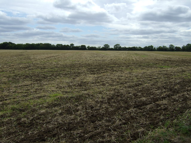
The history of Little Staughton dates back to ancient times, as evidence of Roman and prehistoric settlements has been discovered in the area. The village is mentioned in the Domesday Book of 1086, where it is recorded as "Stoctone." Over the centuries, the village has been predominantly agricultural, with farming playing a significant role in the local economy.
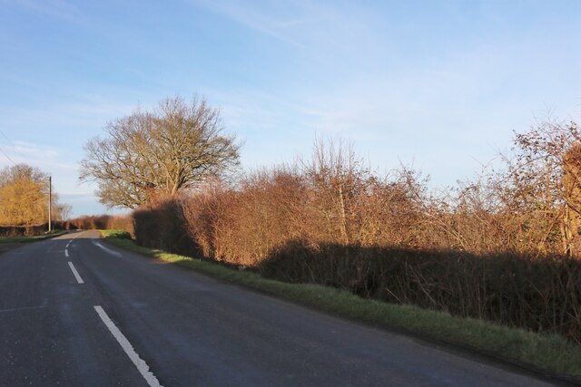
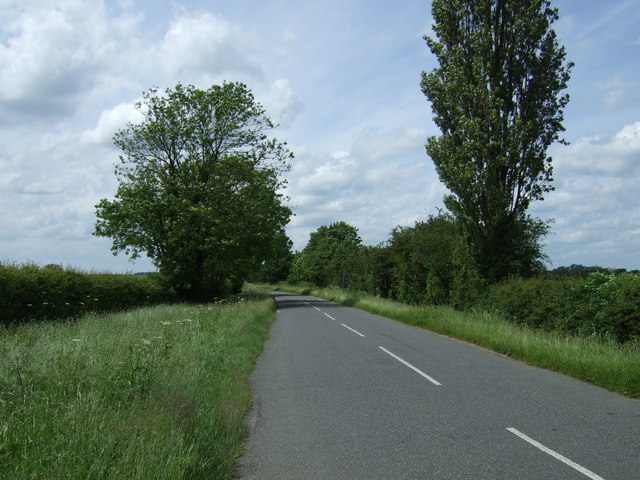
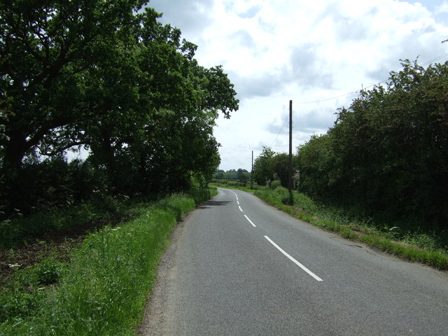
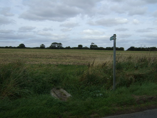
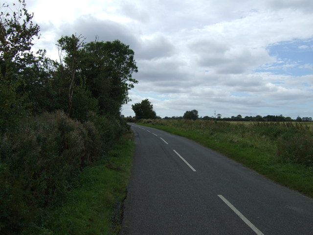
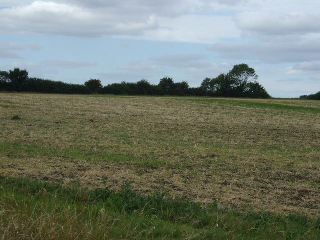
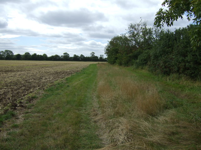
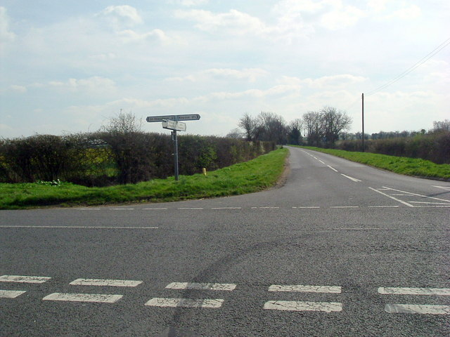
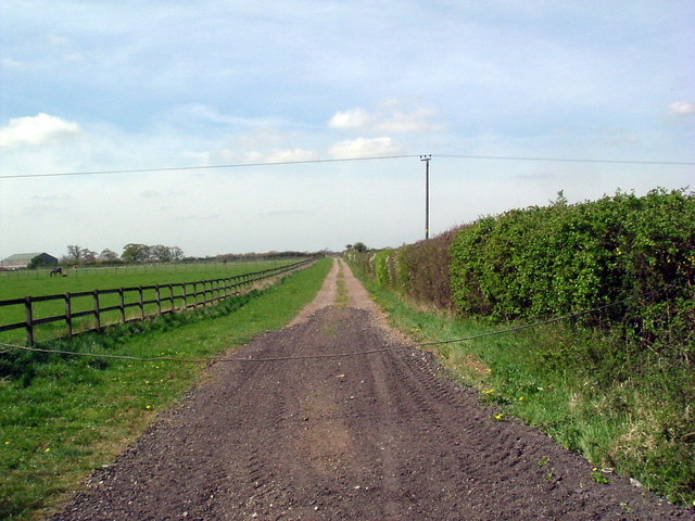
Little Staughton is known for its picturesque countryside, featuring rolling hills and meadows. The village is surrounded by a mix of farmland and woodland, creating a charming rural atmosphere. The local landscape also includes several lakes and ponds, providing opportunities for fishing and wildlife observation.
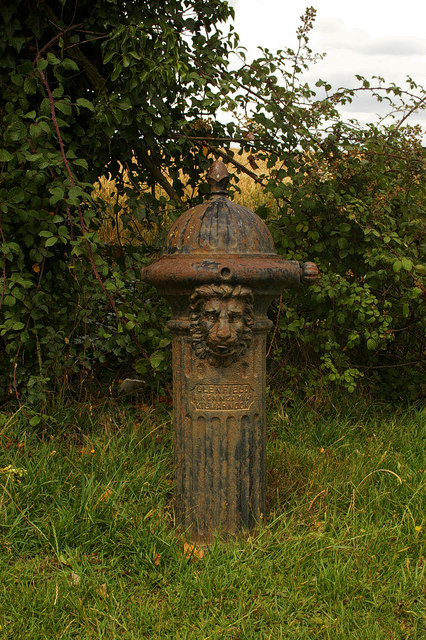
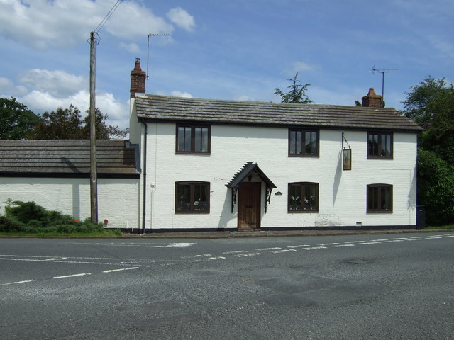
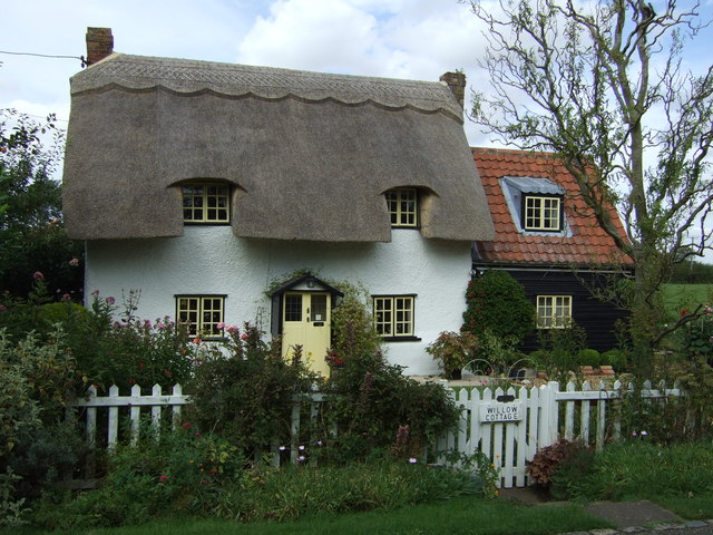
The village is home to St. Margaret's Church, a Grade II listed building that dates back to the 12th century. The church is known for its beautiful stained glass windows and historic architecture. Additionally, there are several other historic buildings scattered throughout the village, including a manor house and a thatched cottage.
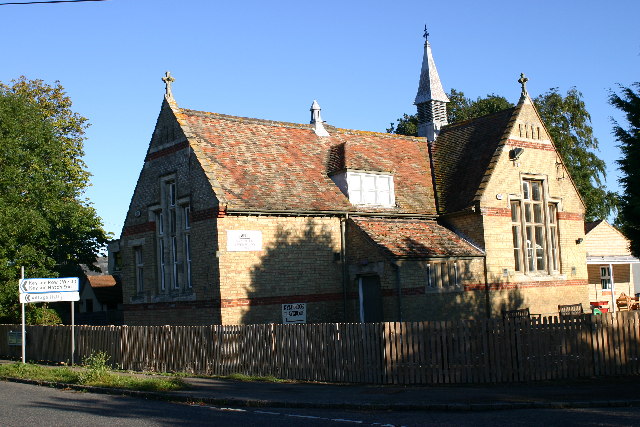
Despite its small size, Little Staughton offers a range of amenities to its residents. These include a village hall, a pub, and a primary school. The village also benefits from its proximity to larger towns and cities, with easy access to shopping, healthcare, and other services.
Overall, Little Staughton is a tranquil and idyllic village, offering a peaceful countryside setting for its residents.
If you have any feedback on the listing, please let us know in the comments section below.
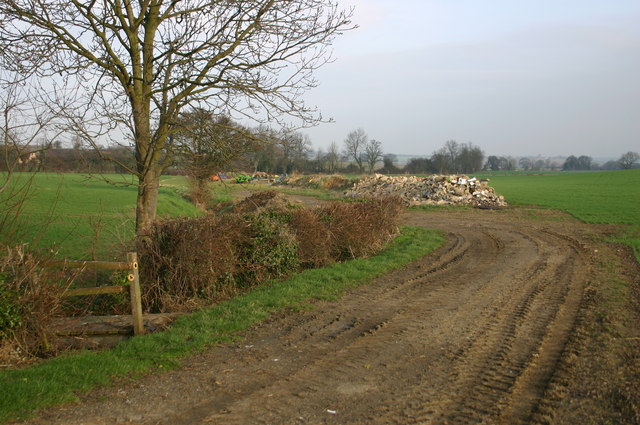
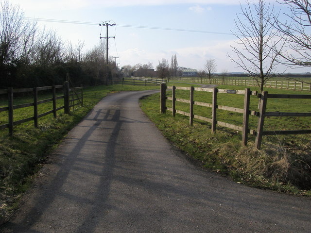
Little Staughton Images
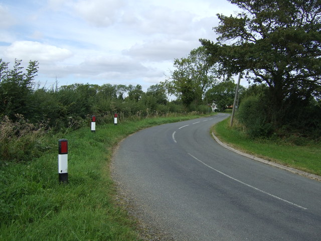
Images are sourced within 2km of 52.250729/-0.389692 or Grid Reference TL1062. Thanks to Geograph Open Source API. All images are credited.
Little Staughton is located at Grid Ref: TL1062 (Lat: 52.250729, Lng: -0.389692)
Unitary Authority: Bedford
Police Authority: Bedfordshire
What 3 Words
///revision.unrated.spellings. Near Pertenhall, Bedfordshire
Nearby Locations
Related Wikis

Little Staughton
Little Staughton is a small village and civil parish located in the north of Bedfordshire. The parish church, All Saints, is set apart from the present...

Church of All Saints, Little Staughton
Church of All Saints is a Grade I listed church in Little Staughton, Bedfordshire, England. Originally known as the Church of St Margaret, it was largely...
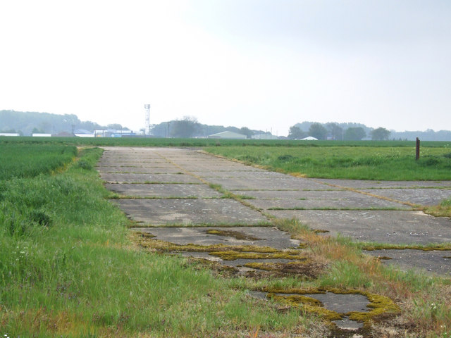
RAF Little Staughton
Royal Air Force Little Staughton or more simply RAF Little Staughton is a former Royal Air Force station located 1.7 miles (2.7 km) south of Great Staughton...

Keysoe Row
Keysoe Row is a hamlet located in the Borough of Bedford in Bedfordshire, England. The settlement is located to the south of the village of Keysoe, and...
Related Videos
Day 5 of runway wall part 1
Day 5 of 6 days walking 6 lengths of the runway where I live for 0.6 of a mile each length starting everyday at 6pm. Please donate ...

I'm Back - Almost... After 75 days grounded (teaser)
After 75 days grounded I am back in the air. At this stage it feels like the licence keeps evading me - I was perhaps 5 hours or so ...
Nearby Amenities
Located within 500m of 52.250729,-0.389692Have you been to Little Staughton?
Leave your review of Little Staughton below (or comments, questions and feedback).