Staughton, Little
Settlement in Bedfordshire
England
Staughton, Little
Staughton is a small village located in the district of Little, Bedfordshire, England. Situated approximately 10 miles west of Bedford, it lies within the civil parish of Little Staughton. The village is surrounded by picturesque countryside and offers a tranquil setting for its residents.
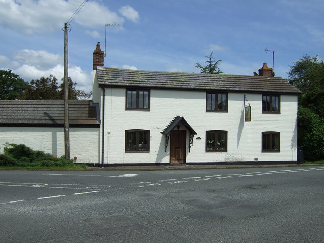
Staughton is home to a close-knit community, with a population of around 400 people. The village comprises a mix of historic and modern properties, including traditional thatched cottages and more contemporary houses. It retains much of its rural charm, with well-maintained gardens, hedgerows, and a peaceful atmosphere.
The village boasts a few amenities to cater to the needs of its residents. These include a village hall, which serves as a venue for various community events and gatherings. Additionally, there is a local pub, providing a place for socializing and enjoying a meal or drink.
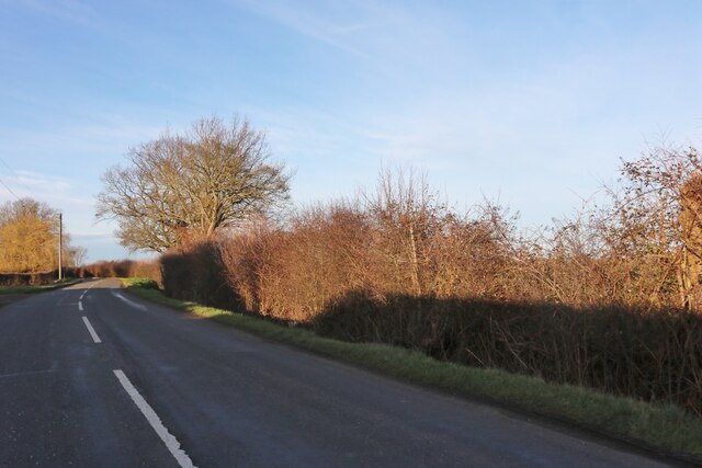
For recreational activities, Staughton benefits from its proximity to the surrounding countryside. There are several footpaths and trails that allow residents to explore the natural beauty of the area. The nearby Staughton Moor offers opportunities for wildlife spotting and peaceful walks.
While Staughton may be a small village, it benefits from its close proximity to larger towns and cities. Bedford, with its shopping centers, restaurants, and cultural attractions, is easily accessible. The village is also well-connected to transportation links, with nearby roads providing access to other parts of Bedfordshire and beyond.
In summary, Staughton is a charming village nestled in the Bedfordshire countryside, offering a peaceful and close-knit community for its residents. With its scenic surroundings and convenient location, it provides a desirable place to call home.
If you have any feedback on the listing, please let us know in the comments section below.
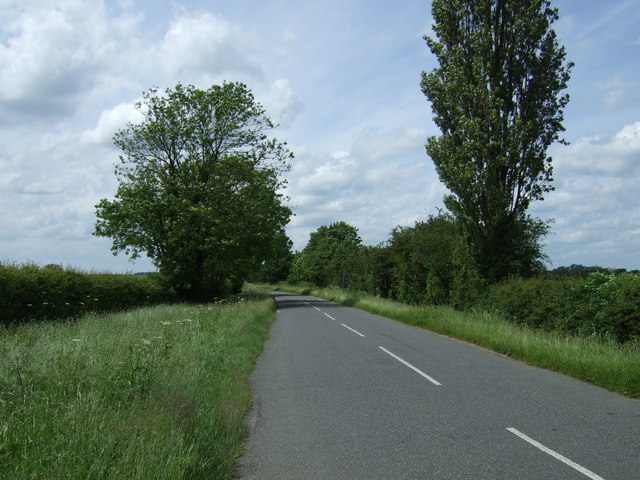
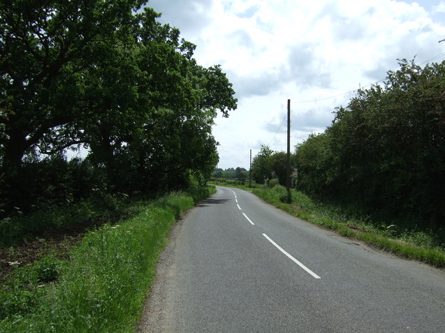
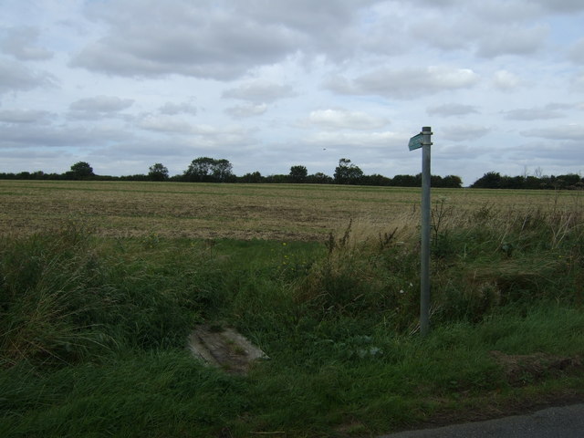
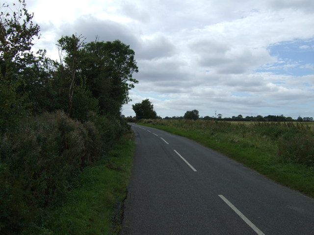
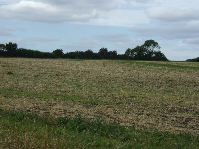
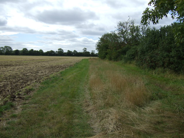
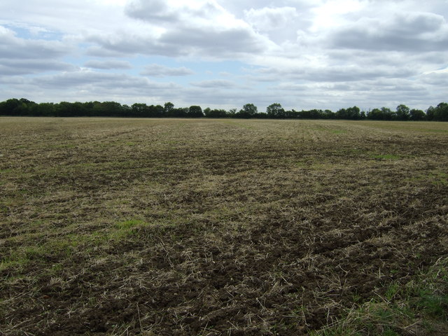
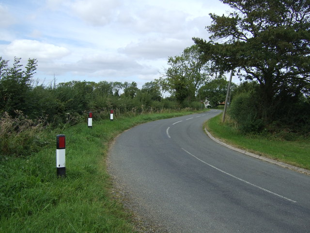
Staughton, Little Images
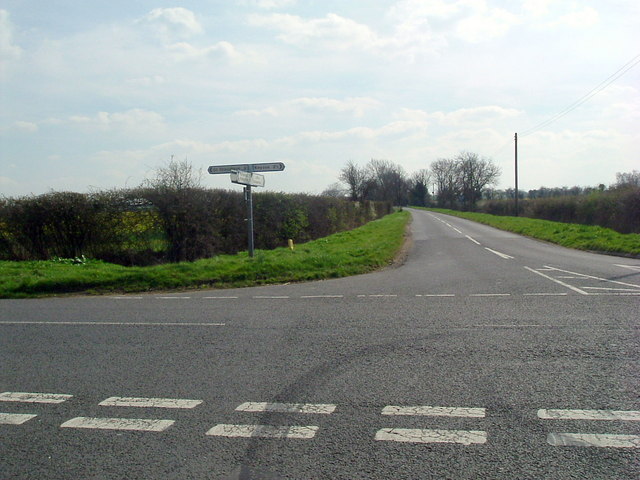
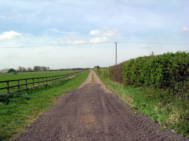
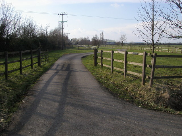
Images are sourced within 2km of 52.250244/-0.381887 or Grid Reference TL1062. Thanks to Geograph Open Source API. All images are credited.


Staughton, Little is located at Grid Ref: TL1062 (Lat: 52.250244, Lng: -0.381887)
Unitary Authority: Bedford
Police Authority: Bedfordshire
What 3 Words
///landmark.guitars.servicing. Near Colmworth, Bedfordshire
Nearby Locations
Related Wikis

Little Staughton
Little Staughton is a small village and civil parish located in the north of Bedfordshire. The parish church, All Saints, is set apart from the present...

Church of All Saints, Little Staughton
Church of All Saints is a Grade I listed church in Little Staughton, Bedfordshire, England. Originally known as the Church of St Margaret, it was largely...
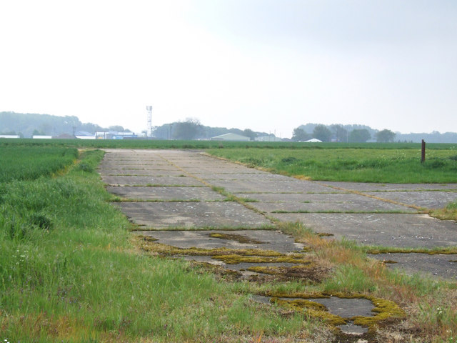
RAF Little Staughton
Royal Air Force Little Staughton or more simply RAF Little Staughton is a former Royal Air Force station located 1.7 miles (2.7 km) south of Great Staughton...

Bushmead Priory
The Priory Church of Saint Mary, Bushmead, commonly called Bushmead Priory, was a monastic foundation for Augustinian Canons, located at Bushmead (a hamlet...
Related Videos
Day 5 of runway wall part 1
Day 5 of 6 days walking 6 lengths of the runway where I live for 0.6 of a mile each length starting everyday at 6pm. Please donate ...

I'm Back - Almost... After 75 days grounded (teaser)
After 75 days grounded I am back in the air. At this stage it feels like the licence keeps evading me - I was perhaps 5 hours or so ...
Nearby Amenities
Located within 500m of 52.250244,-0.381887Have you been to Staughton, Little?
Leave your review of Staughton, Little below (or comments, questions and feedback).