Little Hallingbury
Civil Parish in Essex Uttlesford
England
Little Hallingbury
Little Hallingbury is a civil parish located in the district of Uttlesford, in the county of Essex, England. It is situated on the eastern edge of the county, adjacent to the border with Hertfordshire. The parish covers an area of approximately 8 square kilometers and is home to a population of around 1,200 residents.
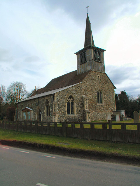
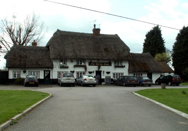
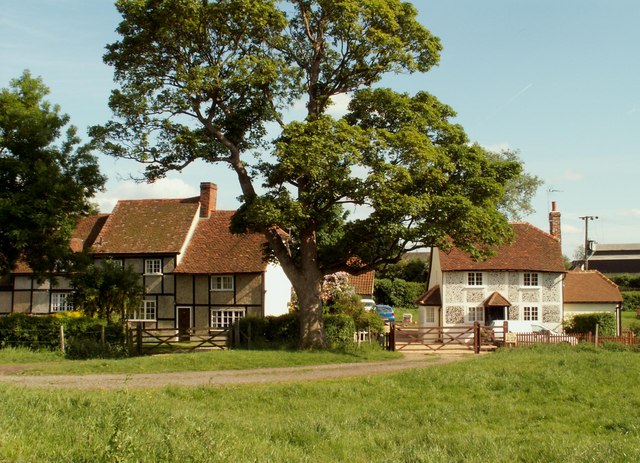
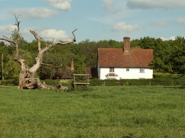
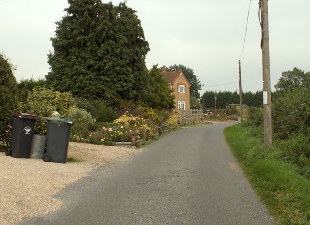
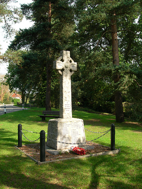
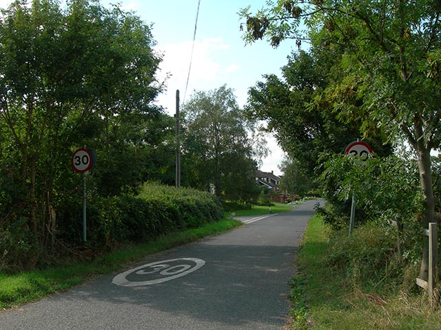
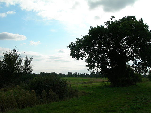
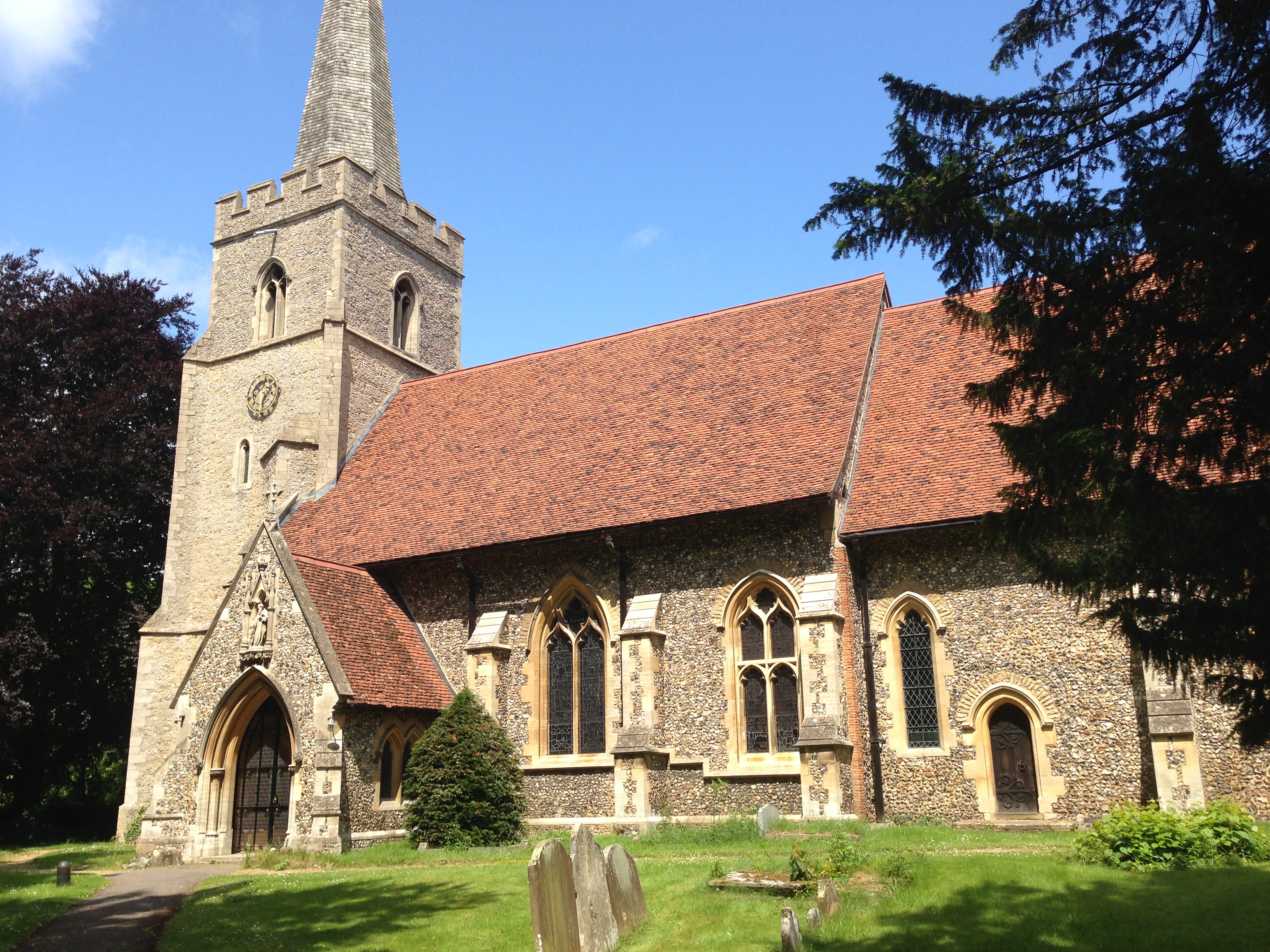
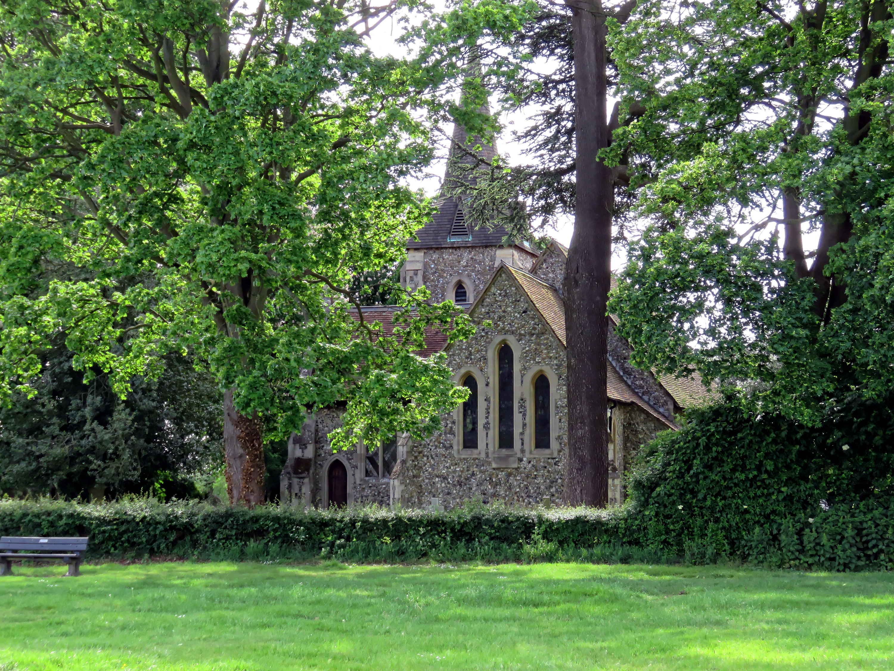
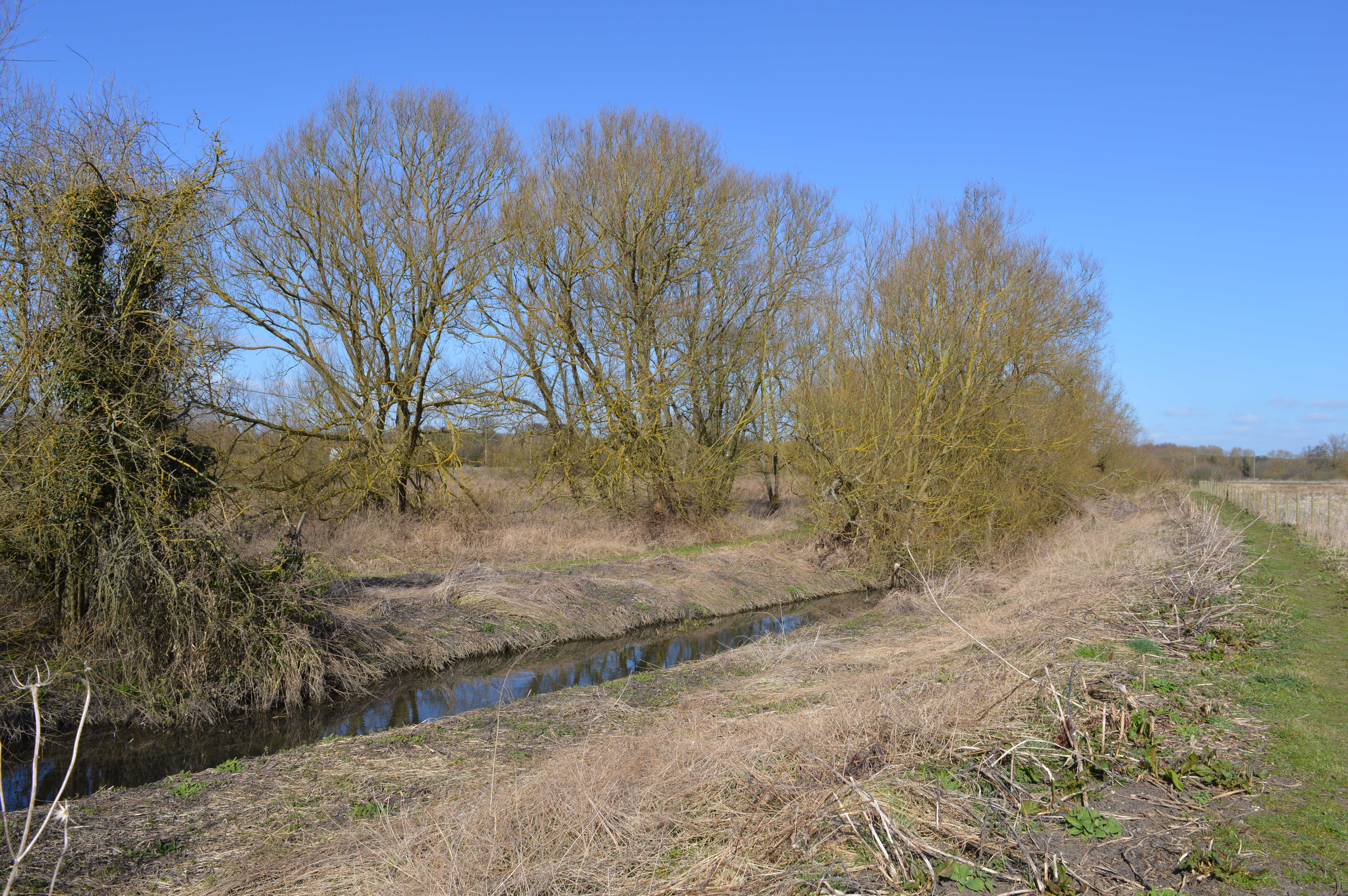
The village of Little Hallingbury is nestled in a rural setting, surrounded by picturesque countryside and farmland. It is characterized by its charming and traditional architecture, with many buildings dating back to the 16th and 17th centuries. The village is centered around St. Mary the Virgin Church, a beautiful medieval church that serves as a focal point for the community.
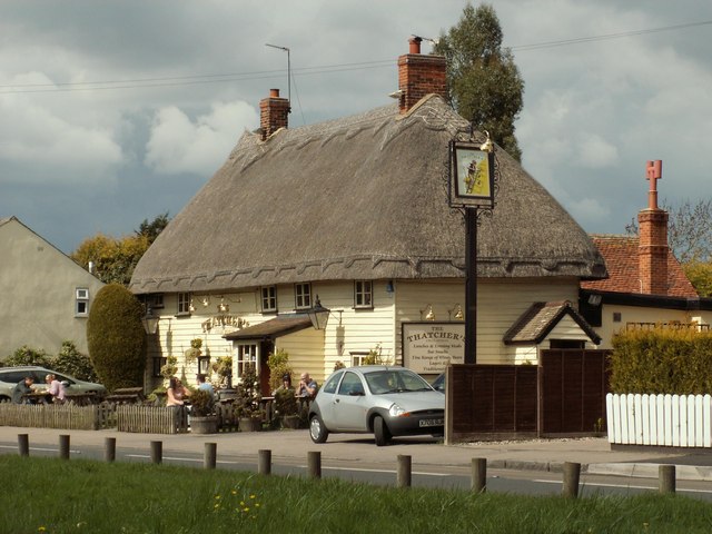
The parish offers a range of amenities and facilities for its residents, including a primary school, a village hall, and a local pub. There are also several walking and cycling routes in the area, allowing residents and visitors to explore the countryside.
Little Hallingbury benefits from its proximity to the market town of Bishop's Stortford, which is located just a few miles to the north. Bishop's Stortford offers a wider range of amenities and services, including shops, restaurants, and leisure facilities.
Overall, Little Hallingbury provides a peaceful and idyllic setting for its residents, with its rural charm, historic architecture, and access to the surrounding countryside.
If you have any feedback on the listing, please let us know in the comments section below.
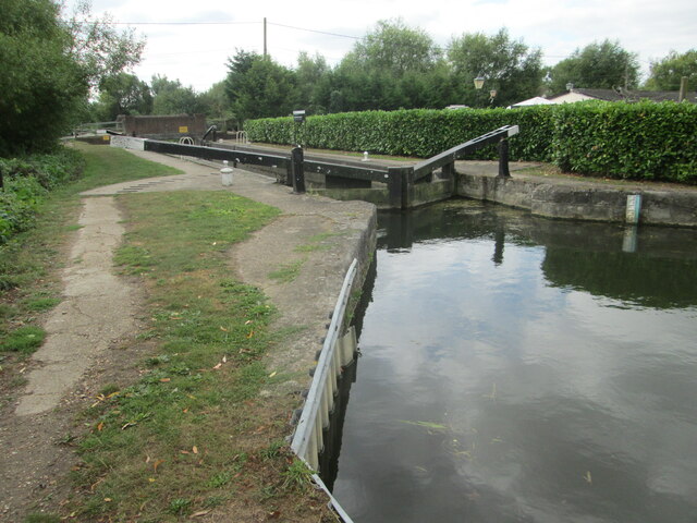
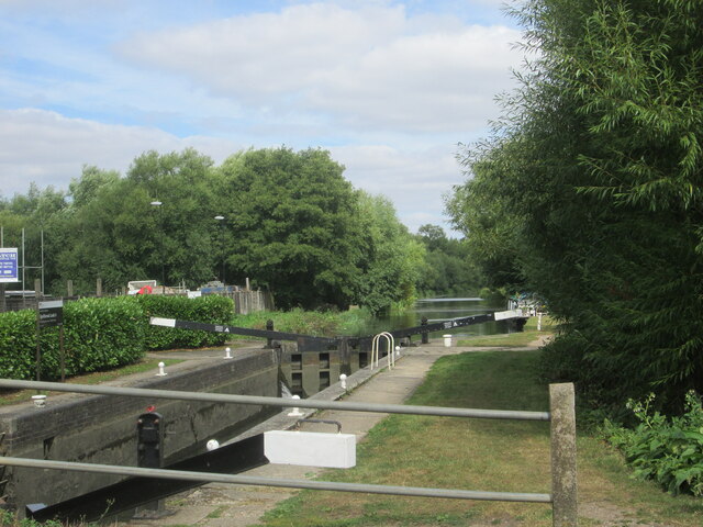
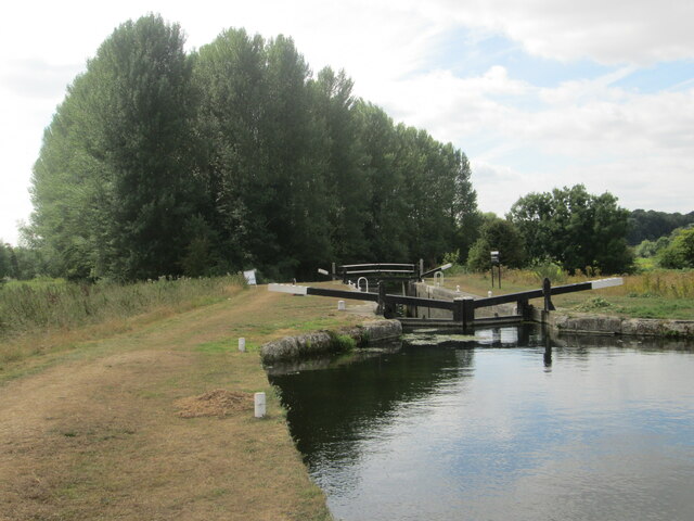
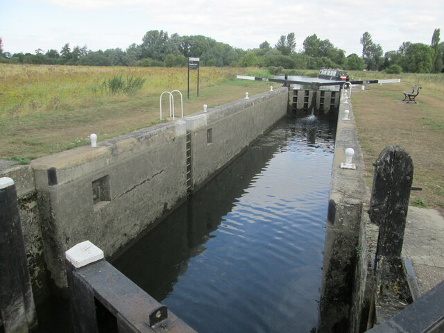
Little Hallingbury Images
Images are sourced within 2km of 51.828722/0.186716 or Grid Reference TL5016. Thanks to Geograph Open Source API. All images are credited.

Little Hallingbury is located at Grid Ref: TL5016 (Lat: 51.828722, Lng: 0.186716)
Administrative County: Essex
District: Uttlesford
Police Authority: Essex
What 3 Words
///cattle.unless.guitar. Near Little Hallingbury, Essex
Nearby Locations
Related Wikis
Great Hallingbury
Great Hallingbury is a village and a civil parish in the Uttlesford District of Essex, England. The population of the civil parish at the 2011 census was...

Little Hallingbury
Little Hallingbury is a small village and a civil parish in the Uttlesford district of Essex, England. == Geography == Little Hallingbury parish is on...

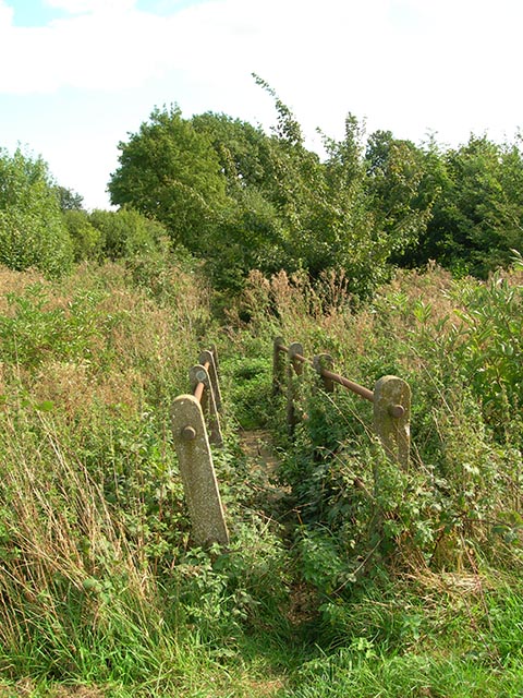
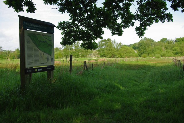
Little Hallingbury Marsh
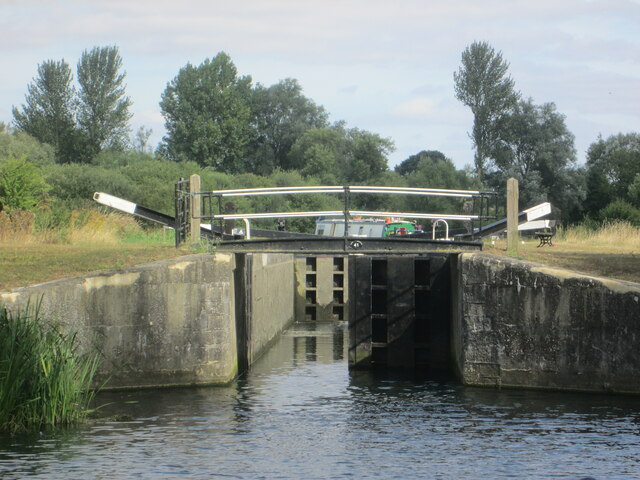
Little Hallingbury Marsh is a 4.5-hectare (11-acre) biological Site of Special Scientific Interest adjacent to the River Stort, west of Little Hallingbury...
Sawbridgeworth Marsh
Sawbridgeworth Marsh is a 6.3-hectare (16-acre) biological Site of Special Scientific Interest (SSSI) near Sawbridgeworth in Hertfordshire, apart from...

Spelbrook railway station
Spelbrook railway station, also known as Spellbrook railway station, Spelbroke railway station and Spillbrook railway station served the hamlet of Spellbrook...
Hatfield Heath
Hatfield Heath is a village, civil parish, and an electoral ward in the Uttlesford district of Essex, England, and at its west is close to the border with...

Spellbrook
Spellbrook is a hamlet in Hertfordshire, situated between Bishop's Stortford and Sawbridgeworth. == Location == Spellbrook is one mile south of Bishop...
Thorley Wash nature reserve
Thorley Wash or Thorley Flood Pound is a 17.3-hectare biological Site of Special Scientific Interest in Thorley, south of Bishop's Stortford in Hertfordshire...
Nearby Amenities
Located within 500m of 51.828722,0.186716Have you been to Little Hallingbury?
Leave your review of Little Hallingbury below (or comments, questions and feedback).