Little Hale
Civil Parish in Lincolnshire North Kesteven
England
Little Hale

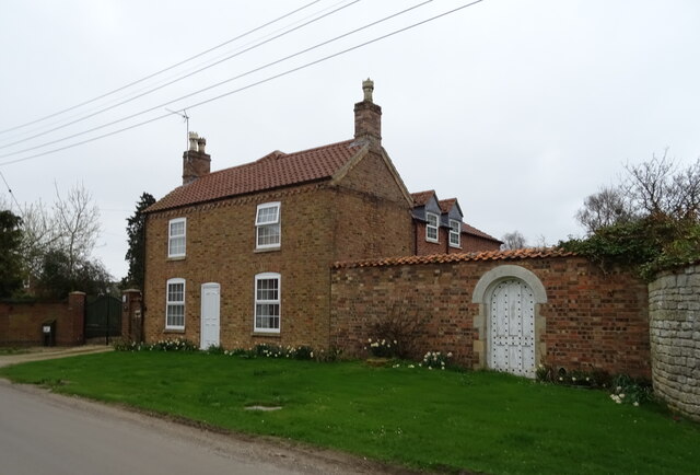
Little Hale is a small civil parish located in the county of Lincolnshire, England. Situated about 4 miles north-west of the town of Sleaford, this rural settlement is home to a population of around 150 residents. The parish covers an area of approximately 1.5 square miles, characterized by its picturesque countryside and charming village atmosphere.
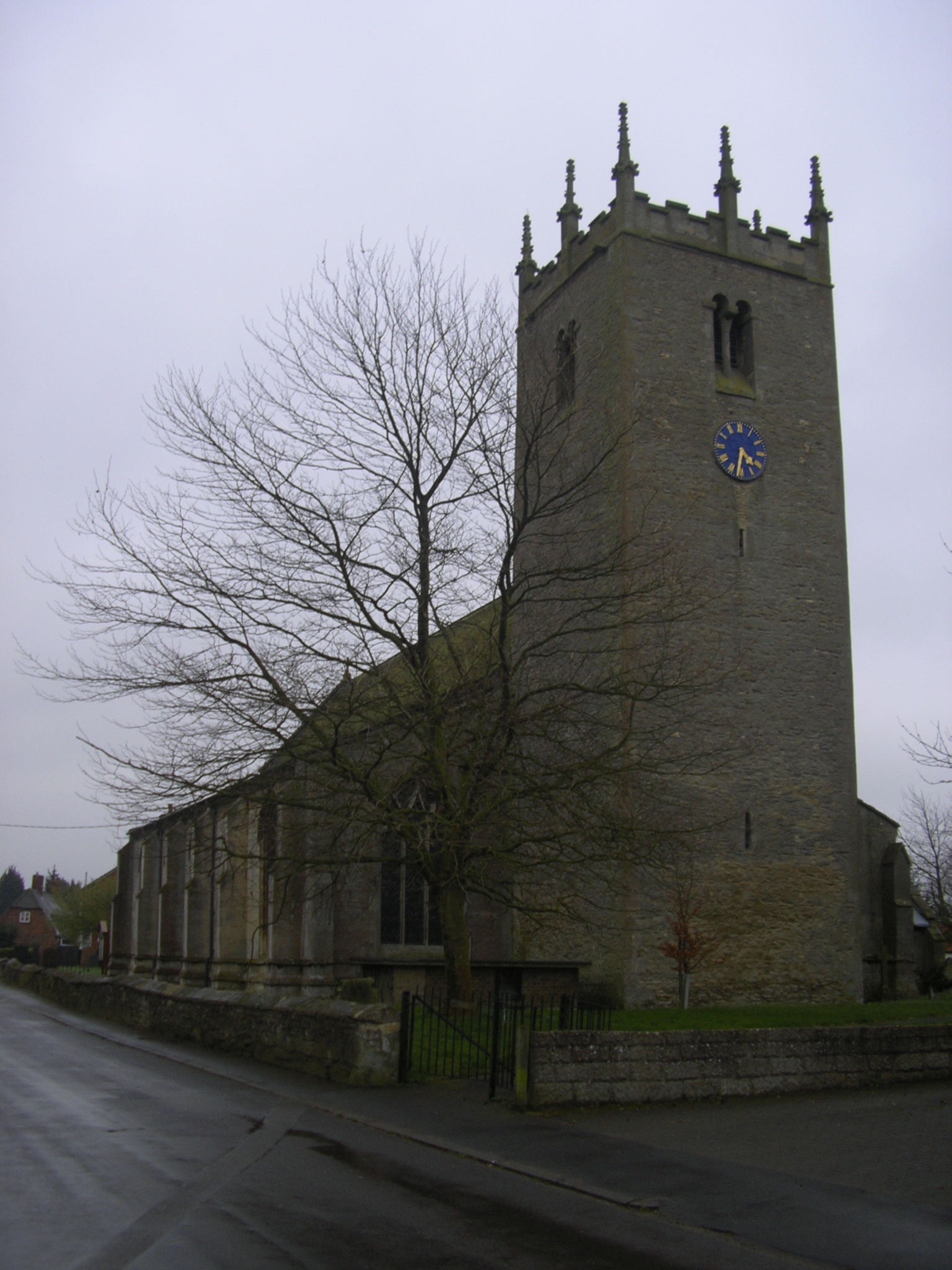
The village of Little Hale dates back to medieval times, with evidence of human habitation in the area dating as far back as the Bronze Age. Today, it retains much of its historical charm, with a mix of traditional cottages and more modern houses scattered throughout the parish. The centerpiece of the village is the Grade II listed church, St. Nicholas' Church, which stands as a testament to the village’s long-standing religious heritage.
The local economy of Little Hale is primarily agricultural, with farming playing a significant role in the community. The surrounding farmland is predominantly used for arable farming, with crops such as wheat, barley, and oilseed rape being grown. The parish also benefits from its proximity to Sleaford, which provides residents with easy access to a range of amenities and employment opportunities.
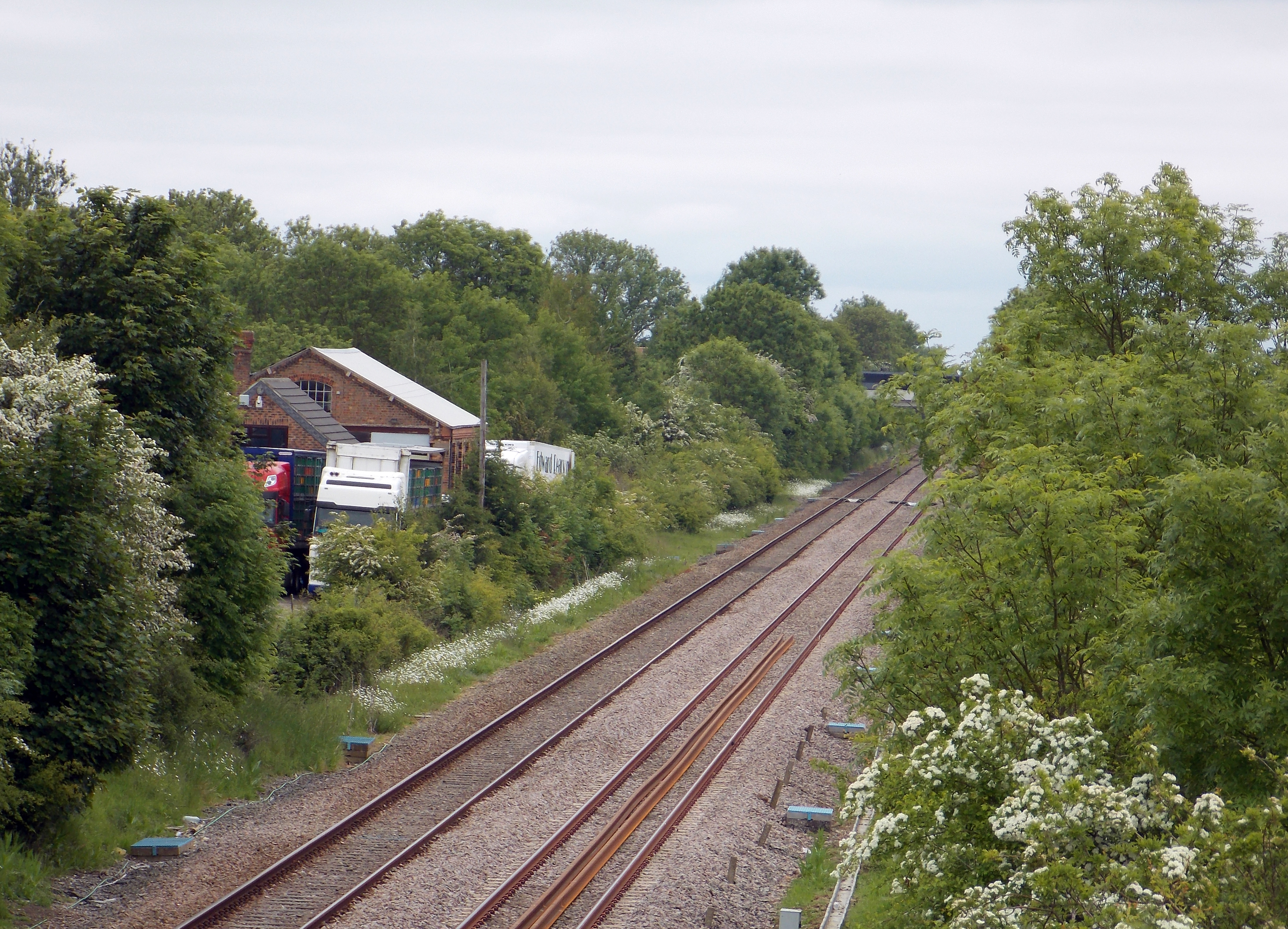
Little Hale is well-connected to neighboring areas via road networks, with the A15 and A17 highways providing convenient links to Lincoln, Newark-on-Trent, and Peterborough. Public transportation options are limited, with a few bus services operating in the area.
Overall, Little Hale offers a peaceful and idyllic setting for those seeking a rural lifestyle, surrounded by the natural beauty of the Lincolnshire countryside.
If you have any feedback on the listing, please let us know in the comments section below.
Little Hale Images
Images are sourced within 2km of 52.951772/-0.26923 or Grid Reference TF1640. Thanks to Geograph Open Source API. All images are credited.


Little Hale is located at Grid Ref: TF1640 (Lat: 52.951772, Lng: -0.26923)
Administrative County: Lincolnshire
District: North Kesteven
Police Authority: Lincolnshire
What 3 Words
///woven.snug.guilty. Near Heckington, Lincolnshire
Nearby Locations
Related Wikis

Little Hale
Little Hale is a hamlet and civil parish in the North Kesteven district of Lincolnshire, England. It is situated 5 miles (8 km) south-east from the town...

Helpringham
Helpringham is a village and civil parish in the North Kesteven district of Lincolnshire, England. It lies on the edge of the Fens, and 5 miles (8 km)...
Great Hale
Great Hale is a village and civil parish in the North Kesteven district of Lincolnshire, England. The population of the civil parish at the 2011 census...
Helpringham railway station
Helpringham railway station was a station in Helpringham, Lincolnshire. The station was opened by the Great Northern and Great Eastern Joint Railway on...
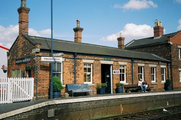
Heckington railway station
Heckington railway station is located in the village of Heckington in Lincolnshire, England. The old station building houses the Heckington Station Railway...
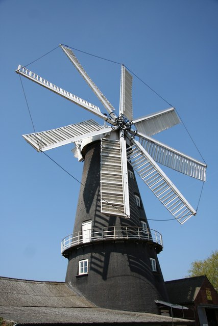
Heckington Windmill
Heckington Windmill is the only eight-sailed tower windmill still standing in the United Kingdom with its sails intact. Heckington is located between Sleaford...

Heckington Methodist Church
Heckington Methodist Church is in Heckington, Lincolnshire, England. == History == The first Wesleyan Methodist chapel in the village was built in 1809...

Heckington
Heckington is a village and civil parish in the North Kesteven district of Lincolnshire, England. It is situated between Sleaford and Swineshead Bridge...
Nearby Amenities
Located within 500m of 52.951772,-0.26923Have you been to Little Hale?
Leave your review of Little Hale below (or comments, questions and feedback).