Little Abington

Civil Parish in Cambridgeshire South Cambridgeshire

England

Little Abington

Great Abington, St Mary <span class="nowrap"><a title="http://www.druidic.org/camchurch/churches/gtabington.htm" rel="nofollow ugc noopener" href="http://www.druidic.org/camchurch/churches/gtabington.htm">Link</a><img style="margin-left:2px;" alt="External link" title="External link - shift click to open in new window" src="https://s1.geograph.org.uk/img/external.png" width="10" height="10"/></span>
Great Abington, St Mary Credit: mym

Little Abington is a civil parish located in the county of Cambridgeshire, England. Situated approximately 8 miles southeast of the city of Cambridge, it is a small and charming village that is home to around 600 residents.

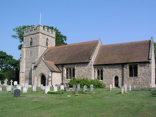
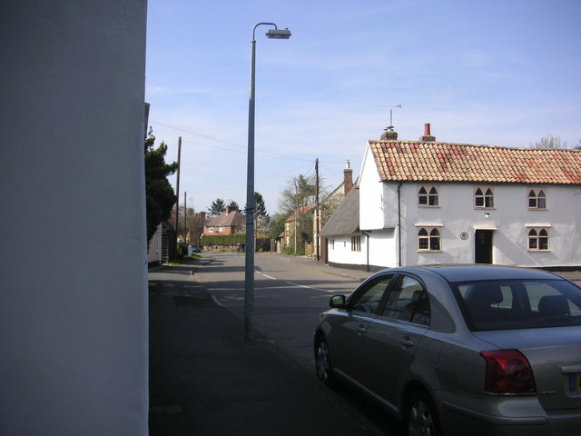
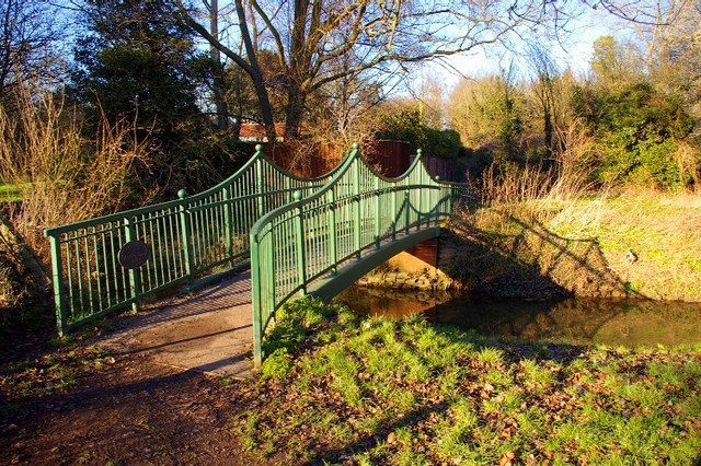
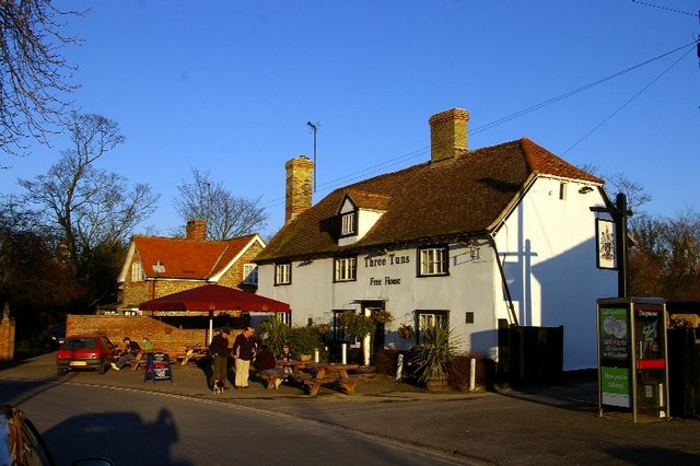
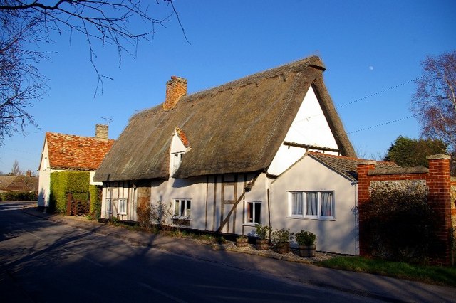
The village is divided into two parts, Little Abington and Great Abington, with the River Granta flowing between them. Little Abington is the smaller of the two settlements, but it still offers a range of amenities and services for its residents. The center of the village contains a church, a primary school, and a village hall, which serves as a hub for community activities.

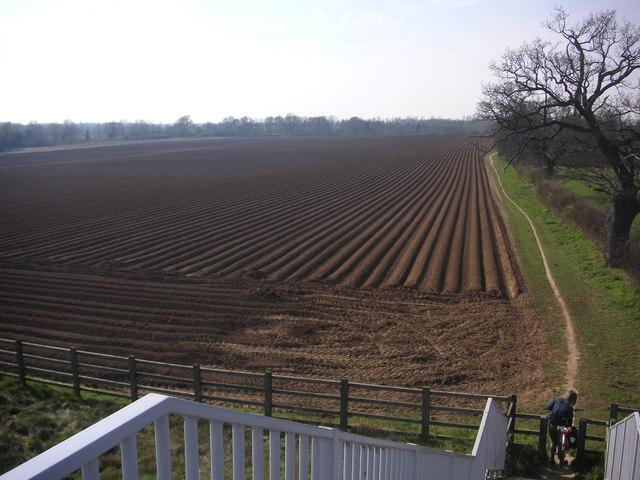
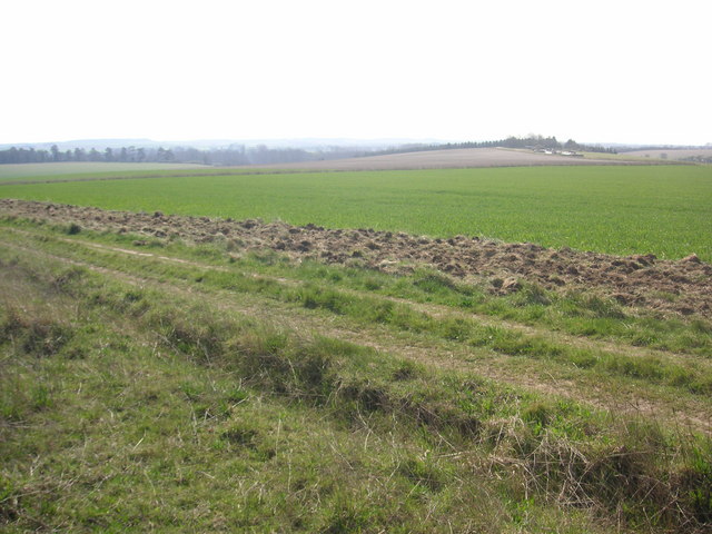
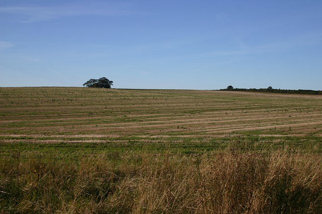
Surrounded by picturesque countryside, Little Abington offers plenty of opportunities for outdoor recreation. The area is known for its beautiful walking trails and cycling routes, making it a popular destination for nature enthusiasts. The village is also close to the Wandlebury Country Park, which provides further recreational activities such as horse riding and picnicking.

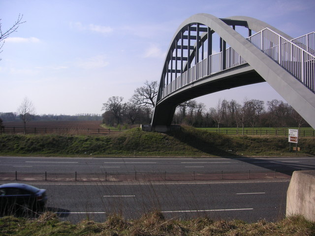
In terms of transport, Little Abington benefits from its proximity to major road networks. The A11 road runs adjacent to the village, connecting it to nearby towns and cities. Additionally, the village is served by regular bus services, providing easy access to Cambridge and other surrounding areas.

Overall, Little Abington is a tranquil and close-knit community that offers a peaceful countryside lifestyle while still providing convenient access to nearby urban centers. Its idyllic setting and range of amenities make it an attractive place to live for those seeking a rural retreat.

If you have any feedback on the listing, please let us know in the comments section below.

Little Abington Images

Images are sourced within 2km of 52.128589/0.238265 or Grid Reference TL5350. Thanks to Geograph Open Source API. All images are credited.

Great Abington, St Mary <span class="nowrap"><a title="http://www.druidic.org/camchurch/churches/gtabington.htm" rel="nofollow ugc noopener" href="http://www.druidic.org/camchurch/churches/gtabington.htm">Link</a><img style="margin-left:2px;" alt="External link" title="External link - shift click to open in new window" src="https://s1.geograph.org.uk/img/external.png" width="10" height="10"/></span>
Great Abington, St Mary
Little Abington, St Mary <span class="nowrap"><a title="http://www.druidic.org/camchurch/churches/ltabington.htm" rel="nofollow ugc noopener" href="http://www.druidic.org/camchurch/churches/ltabington.htm">Link</a><img style="margin-left:2px;" alt="External link" title="External link - shift click to open in new window" src="https://s1.geograph.org.uk/img/external.png" width="10" height="10"/></span>
Little Abington, St Mary
Great Abington High Street A view of the three tuns pub from outside Abington school.
Great Abington High Street
A view of the three tuns pub from outside Abington school.
Two Acre Plantation Two Acre Plantation viewed from footbridge over A11
Two Acre Plantation
Two Acre Plantation viewed from footbridge over A11
Little Abington The building bordering the image to the left is the Little Abington Pottery.
Little Abington
The building bordering the image to the left is the Little Abington Pottery.
Bridleway between Roman Road and Hildersham Bridleway leading from Roman Road to Hildersham. On the small hill in the right half of the image you can see farm equipment supposedly belonging to the rectory farm.
Bridleway between Roman Road and Hildersham
Bridleway leading from Roman Road to Hildersham. On the small hill in the right half of the image you can see farm equipment supposedly belonging to the rectory farm.
Village Sign
Village Sign
Farmland near Hildersham Looking north west from the minor road between Hildersham and Balsham.
Farmland near Hildersham
Looking north west from the minor road between Hildersham and Balsham.
Millennium bridge over the Granta This footbridge linking the parishes of Great and Little Abington was constructed and presented in 2000 by Granta Park and TWI. <span class="nowrap"><a title="http://www.twi.co.uk" rel="nofollow ugc noopener" href="http://www.twi.co.uk">Link</a><img style="margin-left:2px;" alt="External link" title="External link - shift click to open in new window" src="https://s1.geograph.org.uk/img/external.png" width="10" height="10"/></span>
Millennium bridge over the Granta
This footbridge linking the parishes of Great and Little Abington was constructed and presented in 2000 by Granta Park and TWI. LinkExternal link
Three Tuns The free house in Abington.
Three Tuns
The free house in Abington.
Thatched cottage A traditional building in the High Street.
Thatched cottage
A traditional building in the High Street.
Abington cottage A brick and flint cottage with pretty Gothic windows and a weatherboarded extension in Church Lane.
Abington cottage
A brick and flint cottage with pretty Gothic windows and a weatherboarded extension in Church Lane.
Abingtons village sign East Anglian village signs are usually freestanding; exceptionally, this shared sign for Great and Little Abington is a mosaic on the parapet of the bridge over the Granta, which forms the boundary between the two parishes.
Abingtons village sign
East Anglian village signs are usually freestanding; exceptionally, this shared sign for Great and Little Abington is a mosaic on the parapet of the bridge over the Granta, which forms the boundary between the two parishes.
St Mary's Church, Great Abington The church stands in parkland, away from the houses of the village street.
St Mary's Church, Great Abington
The church stands in parkland, away from the houses of the village street.
Snowdrops (Galanthus nivalis) Early harbingers of spring on the edge of St Mary's churchyard.
Snowdrops (Galanthus nivalis)
Early harbingers of spring on the edge of St Mary's churchyard.
St Mary's churchyard The churchyard and north side of the parish church.
St Mary's churchyard
The churchyard and north side of the parish church.
Detail of thatched cottage An intriguing mixture of brick and stone reused in the wall of this timbered house in the High Street.
Detail of thatched cottage
An intriguing mixture of brick and stone reused in the wall of this timbered house in the High Street.
Show me another place!

Little Abington is located at Grid Ref: TL5350 (Lat: 52.128589, Lng: 0.238265)

Administrative County: Cambridgeshire

District: South Cambridgeshire

Police Authority: Cambridgeshire

What 3 Words

///nicer.deny.teardrop. Near Linton, Cambridgeshire

Related Wikis

Abington railway station (England)

Abington railway station served Little Abington, Great Abington and Babraham in Cambridgeshire. It closed in 1851, along with its line which was one of...

The Abingtons, Cambridgeshire

The Abingtons are a community in South Cambridgeshire consisting of two small villages: Little Abington and Great Abington, about 7 miles (11 km) south...

Alder Carr, Hildersham

Alder Carr is a 6.7-hectare biological Site of Special Scientific Interest in Hildersham in Cambridgeshire.The site is a wet valley which has alder on...

Granta Park

Granta Park is a science, technology and biopharmaceutical park based on the bank of the River Granta in Great Abington near Cambridge, England. The idea...

Nearby Amenities

Located within 500m of 52.128589,0.238265
Ele: 51.075
Lat/Long: 52.1283815/0.233923
Power: pole
Lat/Long: 52.1325771/0.2350324
Power: pole
Lat/Long: 52.1298948/0.2330278
Power: pole
Lat/Long: 52.1286281/0.2311095
Power: pole
Lat/Long: 52.1292996/0.2320966
Power: transformer
Lat/Long: 52.1314238/0.2347492
Power: pole
Lat/Long: 52.131742/0.2349923
Power: pole
Lat/Long: 52.1299811/0.2335396
Power: pole
Lat/Long: 52.130709/0.234146
Power: pole
Lat/Long: 52.1310778/0.2344464
Power: pole
Lat/Long: 52.1303499/0.2338346
The data included in this document is from www.openstreetmap.org. The data is made available under ODbL.

Have you been to Little Abington?

Leave your review of Little Abington below (or comments, questions and feedback).