Litlington

Civil Parish in Cambridgeshire South Cambridgeshire

England

Litlington

Litlington, St Catherine <span class="nowrap"><a title="http://www.druidic.org/camchurch/churches/litlington.htm" rel="nofollow ugc noopener" href="http://www.druidic.org/camchurch/churches/litlington.htm">Link</a><img style="margin-left:2px;" alt="External link" title="External link - shift click to open in new window" src="https://s1.geograph.org.uk/img/external.png" width="10" height="10"/></span>
Litlington, St Catherine Credit: mym

The requested URL returned error: 429 Too Many Requests

If you have any feedback on the listing, please let us know in the comments section below.
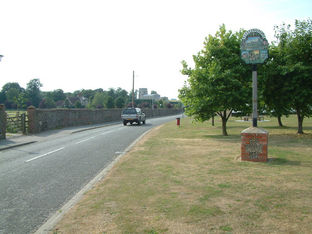
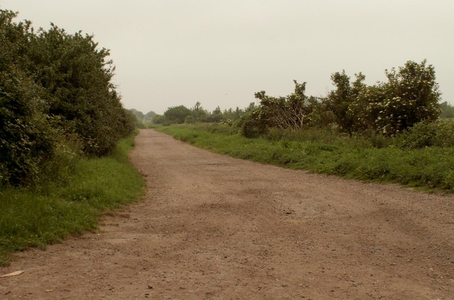
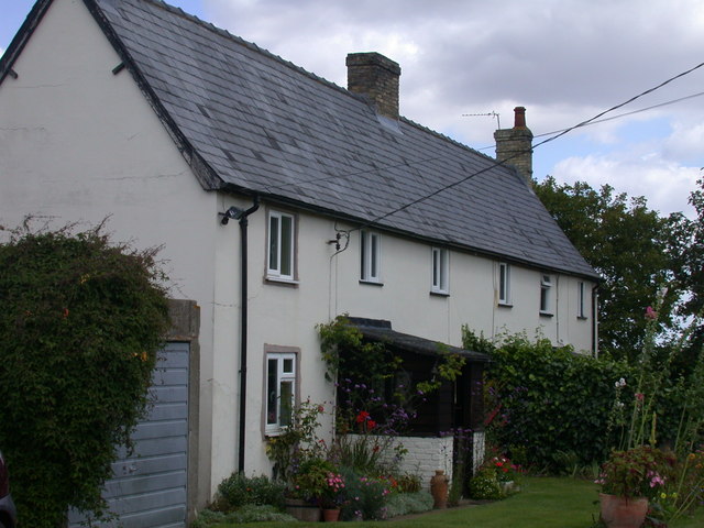
Litlington Images

Images are sourced within 2km of 52.060696/-0.078522 or Grid Reference TL3142. Thanks to Geograph Open Source API. All images are credited.

Litlington, St Catherine <span class="nowrap"><a title="http://www.druidic.org/camchurch/churches/litlington.htm" rel="nofollow ugc noopener" href="http://www.druidic.org/camchurch/churches/litlington.htm">Link</a><img style="margin-left:2px;" alt="External link" title="External link - shift click to open in new window" src="https://s1.geograph.org.uk/img/external.png" width="10" height="10"/></span>
Litlington, St Catherine
Conservation Walks The sign shows where there are conservation walks in and around Morden Grange Farm.
Conservation Walks
The sign shows where there are conservation walks in and around Morden Grange Farm.
Icknield Way The Icknield Way is unique among long distance tracks because it can claim to be "the oldest road in Britain". Extending from Ivinghoe Beacon in Buckinghamshire to Knettishall Heath in Norfolk, it consists of prehistoric pathways, ancient when the Romans came.
Icknield Way
The Icknield Way is unique among long distance tracks because it can claim to be "the oldest road in Britain". Extending from Ivinghoe Beacon in Buckinghamshire to Knettishall Heath in Norfolk, it consists of prehistoric pathways, ancient when the Romans came.
Litlington, Cambridgeshire Litlington is a small village to the east of Ashwell.
Litlington, Cambridgeshire
Litlington is a small village to the east of Ashwell.
Blocked field gate
Blocked field gate
South on road near Highfield Cottages
The Icknield Way near Litlington
Looking towards Limlow Hill
House off Brook Road
Public Byway - Part of the Icknield Way Path
Grain silos at Morden Grange Farm
Insect-friendly field margin at Morden Grange Farm When this photo was taken, the bridleway is open to the public under DEFRA's Countryside Stewardship Scheme. The farmer has carried out conservation work including the creation of grass margins to create a foraging and nesting habitat for farmland birds such as the grey partridge. Visible here is an area of pollen and nectar mix which has been planted to benefit bees, hoverflies and other beneficial insects.
Insect-friendly field margin at Morden Grange Farm
When this photo was taken, the bridleway is open to the public under DEFRA's Countryside Stewardship Scheme. The farmer has carried out conservation work including the creation of grass margins to create a foraging and nesting habitat for farmland birds such as the grey partridge. Visible here is an area of pollen and nectar mix which has been planted to benefit bees, hoverflies and other beneficial insects.
Track and tree-line towards Highfield Farm
Memorial to 355th Fighter Group, USAAF The 355th flew P-47 Thunderbolts and P-51 Mustangs from RAF Steeple Morden during WWII. Both aircraft types are depicted on the memorial.
Memorial to 355th Fighter Group, USAAF
The 355th flew P-47 Thunderbolts and P-51 Mustangs from RAF Steeple Morden during WWII. Both aircraft types are depicted on the memorial.
Morden Grange Farm Cottages
U.S.A.A.F. Memorial to 355th Fighter Group U.S.A.A.F. Memorial to 355th Fighter Group at RAF Steeple Morden near to Litlington Cambridgeshire. For more info see <span class="nowrap"><a title="http://en.wikipedia.org/wiki/RAF_Steeple_Morden" rel="nofollow ugc noopener" href="http://en.wikipedia.org/wiki/RAF_Steeple_Morden">Link</a><img style="margin-left:2px;" alt="External link" title="External link - shift click to open in new window" src="https://s1.geograph.org.uk/img/external.png" width="10" height="10"/></span>
U.S.A.A.F. Memorial to 355th Fighter Group
U.S.A.A.F. Memorial to 355th Fighter Group at RAF Steeple Morden near to Litlington Cambridgeshire. For more info see LinkExternal link
Wellhead Springs The springs here feed the brook in Bassingbourn.  The Wellhead Springs are part of the County Farms Estate and are managed as a site of natural history interest.  The area is alive with birdsong.
Wellhead Springs
The springs here feed the brook in Bassingbourn. The Wellhead Springs are part of the County Farms Estate and are managed as a site of natural history interest. The area is alive with birdsong.
Show me another place!

Litlington is located at Grid Ref: TL3142 (Lat: 52.060696, Lng: -0.078522)

Administrative County: Cambridgeshire

District: South Cambridgeshire

Police Authority: Cambridgeshire

What 3 Words

///agency.limit.starters. Near Bassingbourn, Cambridgeshire

Nearby Locations

Litlington Litlington

Related Wikis

Litlington, Cambridgeshire

Litlington is a village and civil parish in the East of England region and the county of Cambridgeshire in the United Kingdom. The village lies approximately...

Bassingbourn Village College

Bassingbourn Village College is an academy school in Bassingbourn, just across the Cambridgeshire border from Royston, Hertfordshire. It currently has...

Ford Wood

Ford Wood is a woodland in Cambridgeshire, England, near Bassingbourn. It covers a total area of 2.34 hectares (5.78 acres). It is owned and managed by...

Bassingbourn cum Kneesworth

Bassingbourn cum Kneesworth is a civil parish in the South Cambridgeshire district of Cambridgeshire, England, 14 miles south-west of Cambridge and just...

Nearby Amenities

Located within 500m of 52.060696,-0.078522
Power: transformer
Lat/Long: 52.0630341/-0.0808215
Power: pole
Lat/Long: 52.0648721/-0.0801663
Power: pole
Lat/Long: 52.0636519/-0.0805844
Power: pole
Lat/Long: 52.0642655/-0.0803538
The data included in this document is from www.openstreetmap.org. The data is made available under ODbL.

Have you been to Litlington?

Leave your review of Litlington below (or comments, questions and feedback).