Linstead Magna
Civil Parish in Suffolk East Suffolk
England
Linstead Magna
Linstead Magna is a civil parish located in the county of Suffolk, England. It is situated approximately 6 miles northeast of the town of Ipswich and covers an area of around 7.5 square miles. The parish is part of the Mid Suffolk district and has a population of around 300 people.
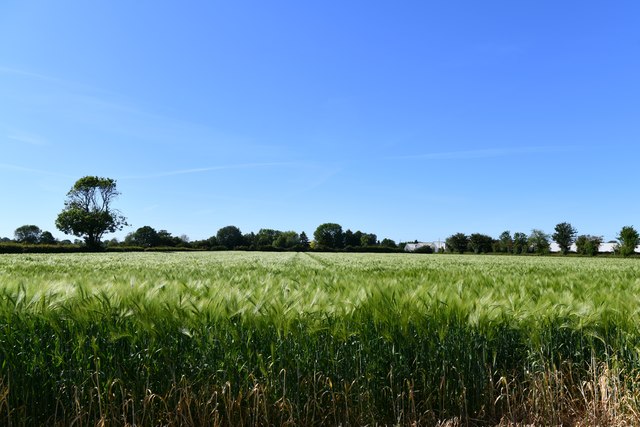
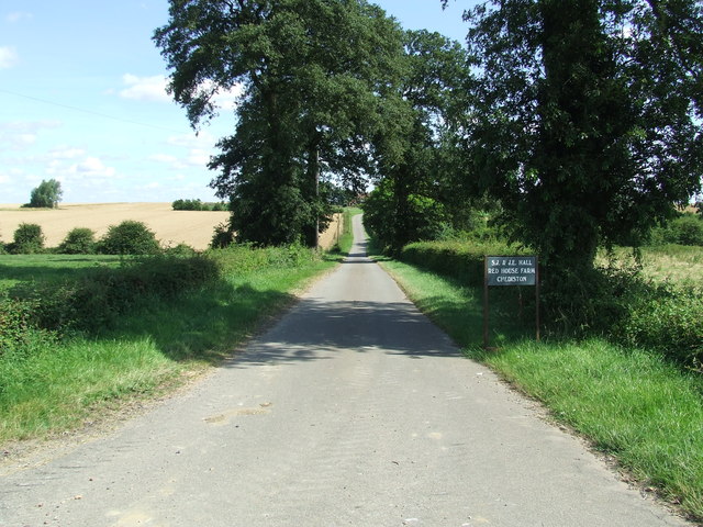
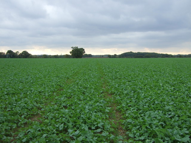
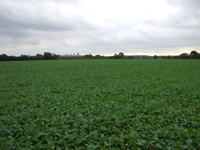
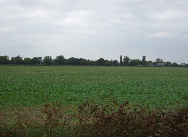
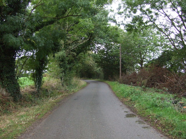
Linstead Magna is a rural area characterized by its picturesque countryside and charming village atmosphere. It is surrounded by rolling hills, meadows, and farmland, offering stunning views and a peaceful environment. The landscape is dotted with traditional Suffolk cottages, many of which are built with local red brick and thatched roofs.
The parish is home to St. Margaret's Church, a Grade II listed building dating back to the 14th century. The church is known for its beautiful medieval architecture and hosts regular services for the local community.
Despite its small size, Linstead Magna has a strong sense of community, with various social events and activities taking place throughout the year. The village also has a pub, The Red Lion, which serves as a popular meeting place for residents and visitors.
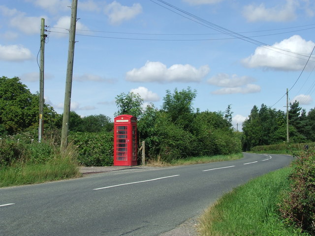
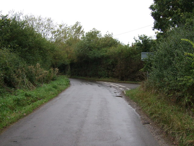
The surrounding area provides ample opportunities for outdoor recreation, with footpaths and bridleways offering access to scenic walks and cycling routes. Linstead Magna is well-connected by road, with the A12 and A14 highways providing easy access to nearby towns and cities.
Overall, Linstead Magna is a charming and idyllic parish, offering a tranquil rural lifestyle and a close-knit community.
If you have any feedback on the listing, please let us know in the comments section below.
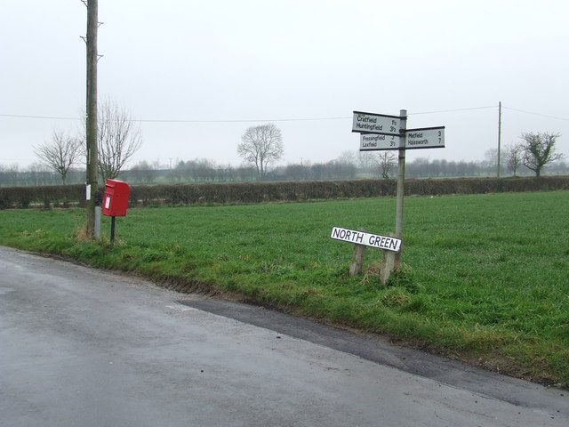
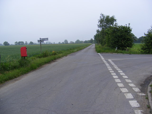
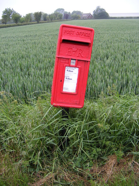
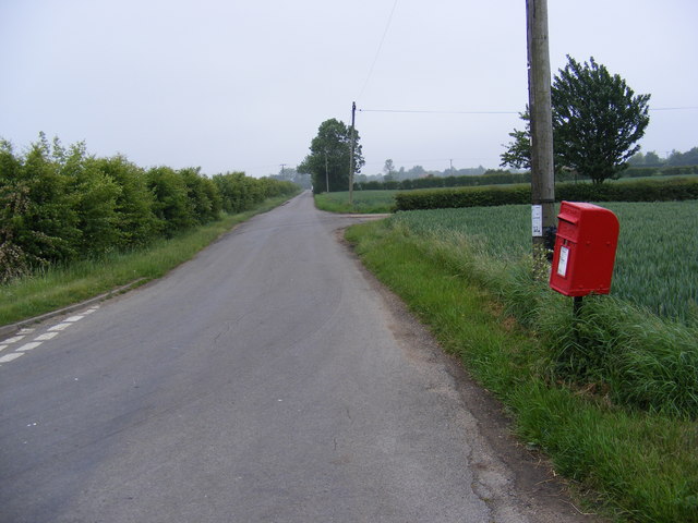
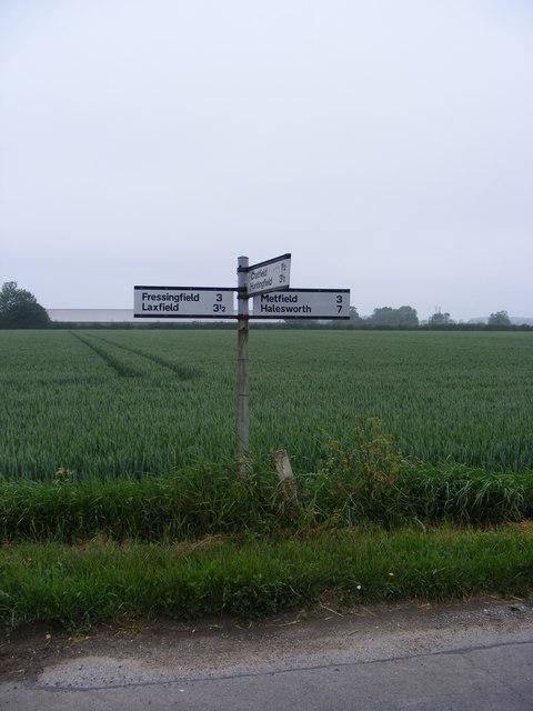
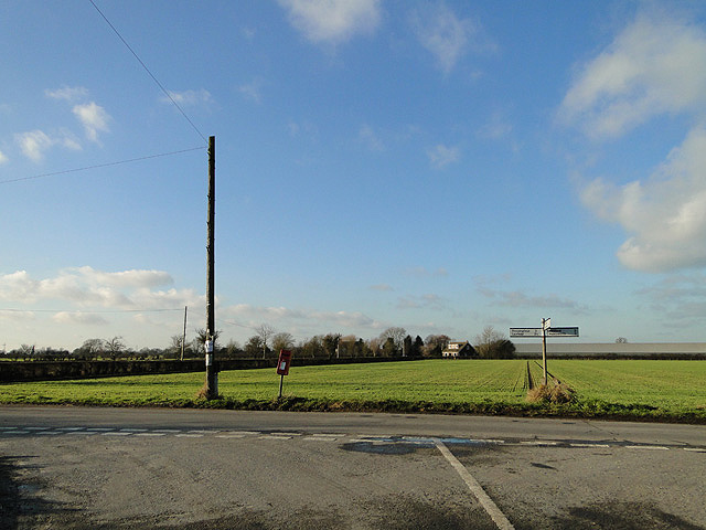
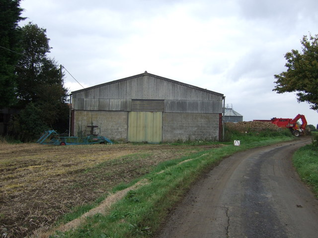
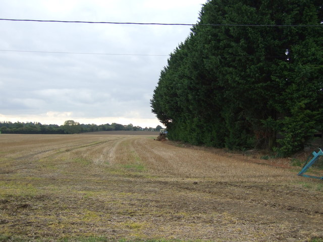
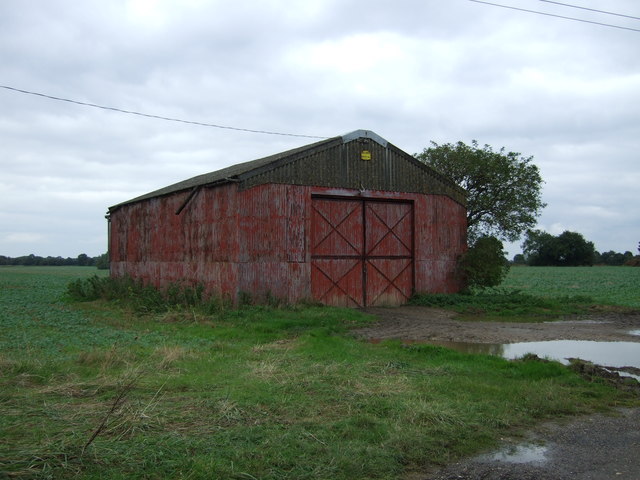
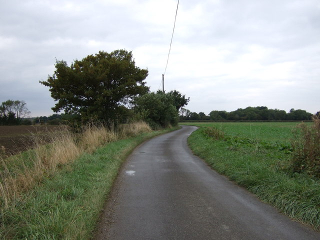
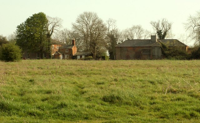
Linstead Magna Images
Images are sourced within 2km of 52.340377/1.399092 or Grid Reference TM3176. Thanks to Geograph Open Source API. All images are credited.
Linstead Magna is located at Grid Ref: TM3176 (Lat: 52.340377, Lng: 1.399092)
Administrative County: Suffolk
District: East Suffolk
Police Authority: Suffolk
What 3 Words
///thumps.searches.prune. Near Cookley, Suffolk
Nearby Locations
Related Wikis

Linstead Magna
Linstead Magna is a civil parish in the East Suffolk district of Suffolk in eastern England. == Population and civil parish == In 2005 its population was...

Cratfield
Cratfield is a village in northern Suffolk, England. "It has a population of 292 according to the 2011 census." Neighbouring villages include Laxfield...
Linstead Parva
Linstead Parva is a small village and civil parish in the East Suffolk district of Suffolk in eastern England. It has a small but notable 13th-century...
Chippenhall Green
Chippenhall Green is a 16.3-hectare (40-acre) biological Site of Special Scientific Interest west of Halesworth in Suffolk, England.This unimproved grassland...
Nearby Amenities
Located within 500m of 52.340377,1.399092Have you been to Linstead Magna?
Leave your review of Linstead Magna below (or comments, questions and feedback).