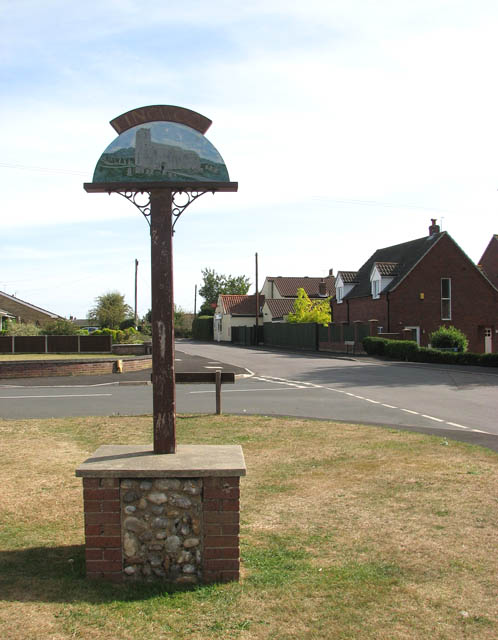
Lingwood and Burlingham
Civil Parish in Norfolk Broadland
England
Lingwood and Burlingham

Lingwood and Burlingham is a civil parish located in the county of Norfolk, England. Situated approximately 10 miles east of the historic city of Norwich, the parish covers an area of about 9 square miles. It is bordered by the parishes of Strumpshaw, Blofield, and Hemblington.
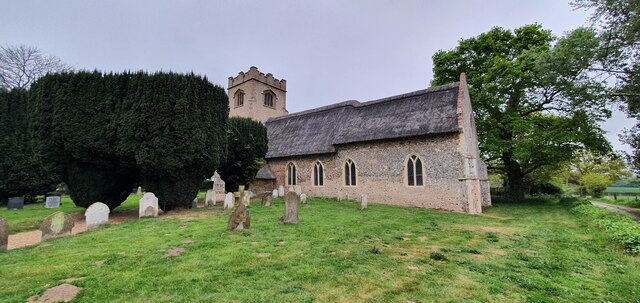
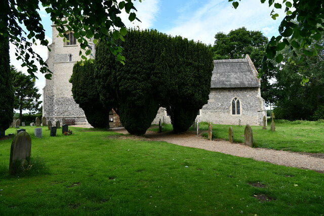
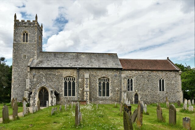
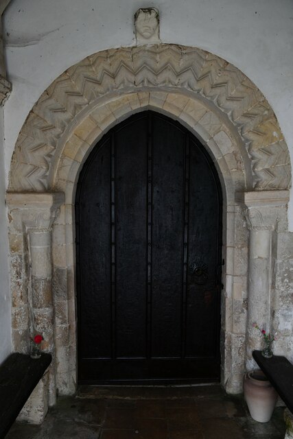
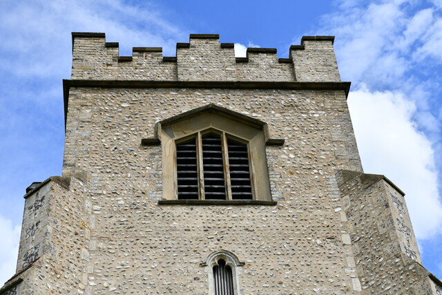
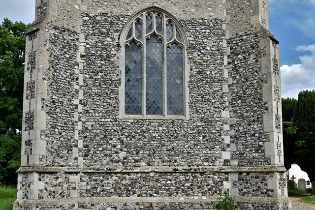
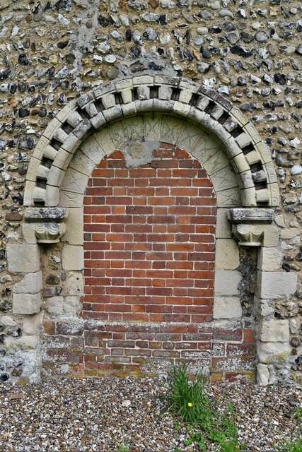
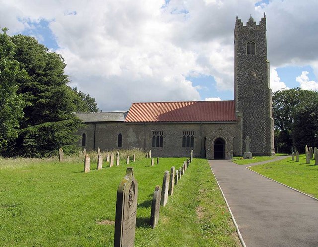
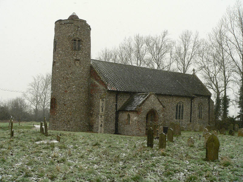
The area is predominantly rural and characterized by its picturesque countryside and charming villages. Lingwood, the larger of the two villages, is home to a population of around 1,600 residents. It offers a range of amenities including a primary school, a village hall, a pub, and a local shop. Burlingham, the smaller village, has a population of around 300 and is known for its beautiful church, St. Andrew's, which dates back to the 12th century.
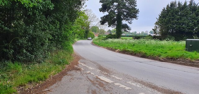
The parish is well-connected with good transport links. The A47 road passes through Lingwood, providing easy access to Norwich and the nearby towns of Great Yarmouth and Acle. The village also has its own railway station, providing regular services to Norwich and other destinations.
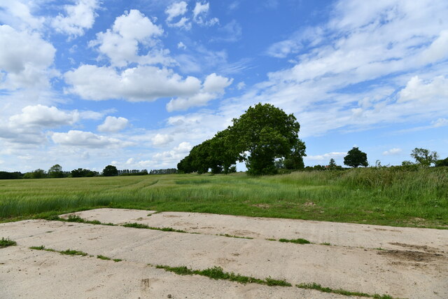
The surrounding countryside offers opportunities for outdoor activities such as walking, cycling, and wildlife watching. The area is known for its diverse flora and fauna, with several nature reserves and protected areas nearby.
Overall, Lingwood and Burlingham is a peaceful and picturesque civil parish, offering a rural lifestyle while still being within close proximity to larger towns and amenities.
If you have any feedback on the listing, please let us know in the comments section below.
Lingwood and Burlingham Images
Images are sourced within 2km of 52.627362/1.494298 or Grid Reference TG3609. Thanks to Geograph Open Source API. All images are credited.


Lingwood and Burlingham is located at Grid Ref: TG3609 (Lat: 52.627362, Lng: 1.494298)
Administrative County: Norfolk
District: Broadland
Police Authority: Norfolk
What 3 Words
///slanting.risking.articulated. Near Lingwood, Norfolk
Nearby Locations
Related Wikis

Lingwood and Burlingham
Lingwood and Burlingham is a civil parish in the English county of Norfolk, comprising the large village of Lingwood together with the smaller villages...

Lingwood railway station
Lingwood railway station is on the Wherry Lines in the east of England, serving the village of Lingwood, Norfolk. It is 7 miles 78 chains (12.8 km) down...
Lingwood
Lingwood is a village and former civil parish, 8 miles (13 km) east of Norwich, now in the parish of Lingwood and Burlingham, in the Broadland district...

Beighton, Norfolk
Beighton is a village and civil parish in the Broadland district of Norfolk, England, about two miles (3 km) South-West of Acle about 12.8 miles (20.6...
Strumpshaw
Strumpshaw is a village and civil parish in the English county of Norfolk. It is located on the northern bank of the River Yare around 6 miles (9.7 km...
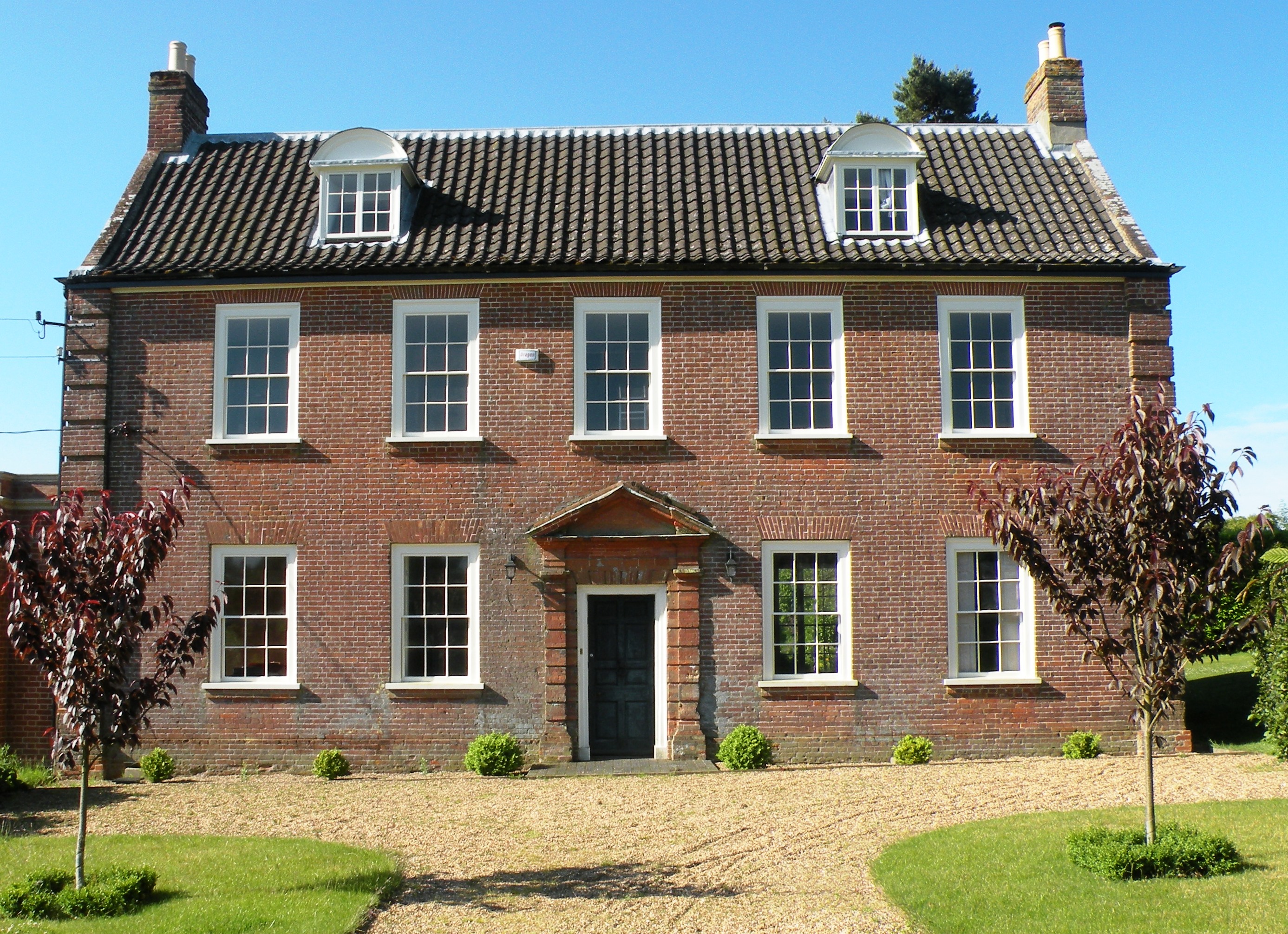
Hemblington Hall
Hemblington Hall is a large farmhouse in Norfolk county, England, built around 1700 with a Georgian facade. This grade II listed building was the home...
Hemblington
Hemblington is a civil parish in the English county of Norfolk, about 8 miles (13 km) east of Norwich. It covers an area of 3.03 km2 (1.17 sq mi) and had...
Norwich United F.C.
Norwich United Football Club is a football club based in Blofield, Norfolk, England. Affiliated to the Norfolk County FA, they play at Plantation Park...
Nearby Amenities
Located within 500m of 52.627362,1.494298Have you been to Lingwood and Burlingham?
Leave your review of Lingwood and Burlingham below (or comments, questions and feedback).