Lingfield

Civil Parish in Surrey Tandridge

England

Lingfield

Lingfield Old Gaol The old gaol sits in the centre of the village, next to an incredible 'split oak' tree.
Lingfield Old Gaol Credit: Alan Simkins

Lingfield is a civil parish located in the Tandridge district of Surrey, England. Situated in the southeastern part of the county, Lingfield is a picturesque village known for its rural charm and historic significance. The parish covers an area of approximately 9.5 square kilometers and has a population of around 4,500 people.

The village of Lingfield is surrounded by beautiful countryside, with rolling hills, meadows, and woodlands creating a tranquil atmosphere. It is renowned for its rich equestrian heritage, being home to Lingfield Park Racecourse, one of the most prestigious horse racing venues in the country. The racecourse attracts visitors from far and wide, hosting numerous race meetings throughout the year.

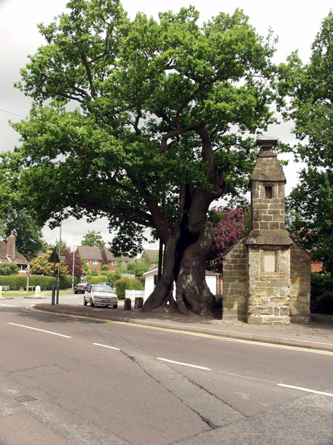
Lingfield also boasts a number of notable historic landmarks, including the 15th-century Church of St. Peter and St. Paul, which is known for its impressive stained glass windows. The village center is lined with traditional timber-framed buildings, giving it a charming and timeless feel.

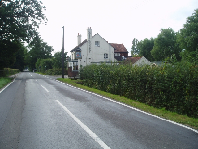
In terms of amenities, Lingfield offers a range of local shops, pubs, and restaurants, providing residents and visitors with all the necessary conveniences. The village also has a primary school and a community center, contributing to its close-knit community spirit.

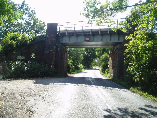
With excellent transport links, including a train station connecting to London and other major towns, Lingfield offers a perfect blend of rural living and accessibility to urban areas. Its idyllic setting, combined with its rich history and range of amenities, make Lingfield an attractive place to live or visit for those seeking a peaceful and charming English village experience.

If you have any feedback on the listing, please let us know in the comments section below.
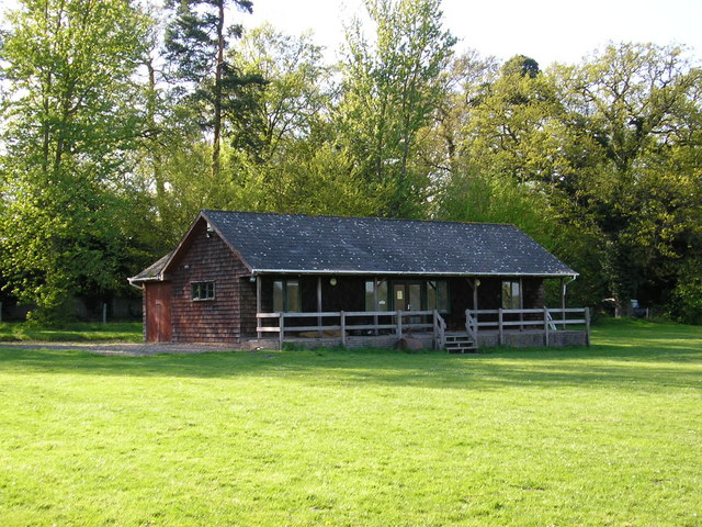
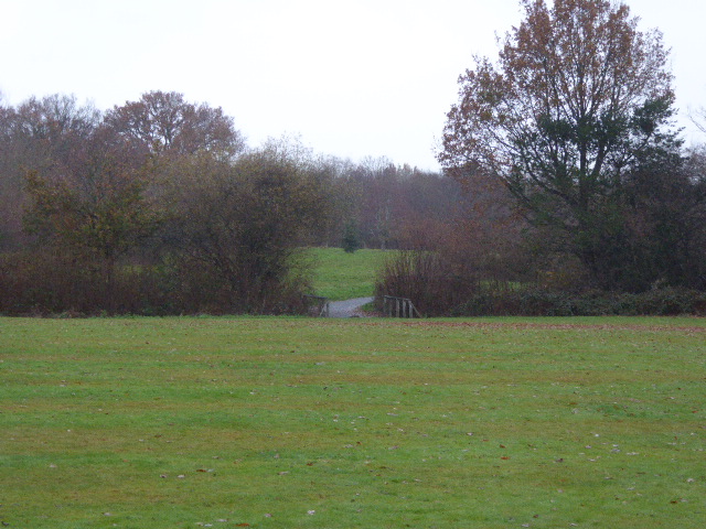
Lingfield Images

Images are sourced within 2km of 51.171195/-0.021059 or Grid Reference TQ3843. Thanks to Geograph Open Source API. All images are credited.

Lingfield Old Gaol The old gaol sits in the centre of the village, next to an incredible 'split oak' tree.
Lingfield Old Gaol
The old gaol sits in the centre of the village, next to an incredible 'split oak' tree.
Lingfield shops Coming into Lingfield for the north west Blindley Heath road the first thing that you notice are the mock tudor buildings
Lingfield shops
Coming into Lingfield for the north west Blindley Heath road the first thing that you notice are the mock tudor buildings
Railway bridge near Lingfield Just before you reach Lingfield from London.
Railway bridge near Lingfield
Just before you reach Lingfield from London.
Hare and Hounds - Lingfield Common Road
Lingfield Cricket Club This field is mostly within the Grid Square TQ3744 but it is borderline ! 
<span class="nowrap"><a title="www.lingfieldcc.co.uk" rel="nofollow ugc noopener" href="http://www.lingfieldcc.co.uk">Link</a><img style="margin-left:2px;" alt="External link" title="External link - shift click to open in new window" src="https://s1.geograph.org.uk/img/external.png" width="10" height="10"/></span>
Lingfield Cricket Club
This field is mostly within the Grid Square TQ3744 but it is borderline ! LinkExternal link
Sports pavilion in Felcourt Road, Felcourt.
Sports pavilion
in Felcourt Road, Felcourt.
Town Hill Lingfield View of Town Hill, Lingfield - leaving the village and heading down towards Lingfield Race course
Town Hill Lingfield
View of Town Hill, Lingfield - leaving the village and heading down towards Lingfield Race course
Second fairway, Lingfield Park Golf Club 505 yards, par 5, but it does not look too fearsome and I would imagine most decent golfers would hope to birdie this one.
Second fairway, Lingfield Park Golf Club
505 yards, par 5, but it does not look too fearsome and I would imagine most decent golfers would hope to birdie this one.
The Little House, Felcourt Road, Surrey That is the name, as it appears on a board outside the substantial house, centre left in the picture.  The road from East Grinstead is behind the photographer, whilst straight ahead leads to Lingfield.
The Little House, Felcourt Road, Surrey
That is the name, as it appears on a board outside the substantial house, centre left in the picture. The road from East Grinstead is behind the photographer, whilst straight ahead leads to Lingfield.
Newchapel Road (B2028),  Surrey Communications from the Horley-Gatwick-Crawley conurbation to the eastwards are notoriously bad.  The closure of the Tunbridge Wells - East Grinstead - Three Bridges railway must have been one of the most ridiculous of the Beeching idiocies, while the A264 is just a bad joke, as anyone condemned to use it daily will confirm.  Here we see the B2028 from Lingfield, looking eastwards at a very rare quiet moment when not a single car was in view.
Newchapel Road (B2028), Surrey
Communications from the Horley-Gatwick-Crawley conurbation to the eastwards are notoriously bad. The closure of the Tunbridge Wells - East Grinstead - Three Bridges railway must have been one of the most ridiculous of the Beeching idiocies, while the A264 is just a bad joke, as anyone condemned to use it daily will confirm. Here we see the B2028 from Lingfield, looking eastwards at a very rare quiet moment when not a single car was in view.
'Avondale', Newchapel Road, near Lingfield, Surrey The B2028 is the westerly outlet from Lingfield towards Gatwick and Crawley, and as such, carries a very heavy traffic.  Here a postman prepares to deliver mail to one of the well-heeled houses on the north side of the road.
'Avondale', Newchapel Road, near Lingfield, Surrey
The B2028 is the westerly outlet from Lingfield towards Gatwick and Crawley, and as such, carries a very heavy traffic. Here a postman prepares to deliver mail to one of the well-heeled houses on the north side of the road.
Lingfield Park Racecourse
Lingfield fire station Lingfield fire station, Saxby's Lane, Lingfield, Surrey
Lingfield fire station
Lingfield fire station, Saxby's Lane, Lingfield, Surrey
Houses in Newchapel Road (B2028)
Oast House, New Place Farm, Station Road, Lingfield, Surrey Single round kiln oast house.
Oast House, New Place Farm, Station Road, Lingfield, Surrey
Single round kiln oast house.
The Oast House, Rowlands Farm, Newchapel Road, Lingfield, Surrey
Newchapel Road, Lingfield
The British Wildlife Centre Where most British Mammals can be seen. Also birds and reptiles.
The British Wildlife Centre
Where most British Mammals can be seen. Also birds and reptiles.
Show me another place!

Lingfield is located at Grid Ref: TQ3843 (Lat: 51.171195, Lng: -0.021059)

Administrative County: Surrey

District: Tandridge

Police Authority: Surrey

What 3 Words

///grid.points.salt. Near Lingfield, Surrey

Related Wikis

Lingfield, Surrey

Lingfield is a village and civil parish in the Tandridge district of Surrey, England, approximately 23 miles (37 km) south of London. Several buildings...

Centenary Fields

Centenary Fields is a 4.2-hectare (10-acre) Local Nature Reserve in Lingfield in Surrey. It is owned by Lingfield Parish Council and managed by Lingfield...

Lingfield Wildlife Area

Lingfield Wildlife Area is a 6.3-hectare (16-acre) Local Nature Reserve in Lingfield in Surrey. It is owned by Tandridge District Council and managed...
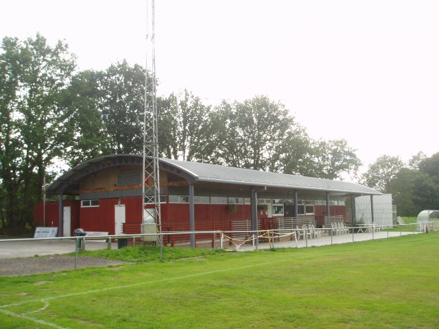
Lingfield F.C.

Lingfield Football Club are a football club based in the village of Lingfield, near East Grinstead, Surrey, England. The club is affiliated to the Surrey...

Lingfield railway station

Lingfield railway station is on the East Grinstead branch of the Oxted line in southern England and serves Lingfield in Surrey. It is 26 miles 23 chains...

Lingfield Park Racecourse

Lingfield Park Racecourse (commonly referred to as Lingfield) is a horse racing course at Lingfield in Surrey, United Kingdom. It is owned by the ARC Racing...

Lingfield College

Lingfield College is a private day school situated in Lingfield in the English county of Surrey, for pupils aged six months to eighteen years old. It was...

British Wildlife Centre

The British Wildlife Centre is a zoo in the hamlet of Newchapel near Lingfield village in the county of Surrey, South East England. The zoo was founded...

Nearby Amenities

Located within 500m of 51.171195,-0.021059
Mini Roundabout
Direction: clockwise
Lat/Long: 51.1749826/-0.0203573
Mini Roundabout
Direction: clockwise
Source: photo
Lat/Long: 51.1742505/-0.0183697
Pub
The Greyhound
Wheelchair: limited
Wikidata: Q26281149
Lat/Long: 51.1747547/-0.0198658
Fuel
Addr City: Lingfield
Addr Country: GB
Addr Housenumber: 1
Addr Postcode: RH7 6BN
Addr Street: Godstone Road
Brand: Shell
Brand Wikidata: Q110716465
Opening Hours: Mo-Su 06:00-22:00
Phone: +44 1342 836685
Ref Navads: NVDS353_12038535
Website: https://find.shell.com/gb/fuel/12038535-shell-lingfield
Wheelchair: yes
Lat/Long: 51.1749989/-0.0209803
Toilets
Fee: no
Lat/Long: 51.1753597/-0.020985
Doctors
Lingfield Surgery
Wheelchair: yes
Lat/Long: 51.1733172/-0.0174949
Pharmacy
Dispensing: yes
Wheelchair: limited
Lat/Long: 51.1740168/-0.0185775
Atm
Wheelchair: yes
Lat/Long: 51.1744623/-0.0180619
Post Box
Post Box Type: pillar
Ref: RH7 79
Lat/Long: 51.1754648/-0.0207898
Post Box
Ref: RH7 38
Lat/Long: 51.168567/-0.0170221
Bus Stop
War Memorial
Naptan AtcoCode: 40004410051A
Naptan Bearing: E
Naptan CommonName: War Memorial
Naptan Indicator: Just after
Naptan Landmark: War Memorial
Naptan NaptanCode: surdmjwt
Naptan Street: High Street
Naptan Verified: no
Public Transport: platform
Source: naptan_import
Wheelchair: yes
Lat/Long: 51.1744835/-0.0172397
Bus Stop
War Memorial
Naptan AtcoCode: 40004410051B
Naptan Bearing: W
Naptan CommonName: War Memorial
Naptan Indicator: Just Before
Naptan Landmark: War Memorial
Naptan NaptanCode: surdmpad
Naptan Street: High Street
Naptan Verified: no
Public Transport: platform
Source: naptan_import
Wheelchair: yes
Lat/Long: 51.1743829/-0.0174707
Bus Stop
Godstone Road
Naptan AtcoCode: 40004410215A
Naptan Bearing: NW
Naptan CommonName: Godstone Road
Naptan Indicator: NW-bound
Naptan Landmark: Godstone Road
Naptan NaptanCode: surdpmaj
Naptan Street: Godstone Road
Naptan Verified: no
Public Transport: platform
Source: naptan_import
Wheelchair: limited
Lat/Long: 51.175308/-0.0208348
Bus Stop
Godstone Road
Naptan AtcoCode: 40004410215B
Naptan Bearing: SE
Naptan CommonName: Godstone Road
Naptan Indicator: SE-bound
Naptan Landmark: Godstone Road
Naptan NaptanCode: surdpmam
Naptan Street: Godstone Road
Naptan Verified: no
Public Transport: platform
Source: naptan_import
Wheelchair: limited
Lat/Long: 51.1755019/-0.0208229
The Cage
Tourism: attraction
Wheelchair: no
Lat/Long: 51.1745933/-0.0188154
Post Box
Ref: RH7 109
Lat/Long: 51.1743483/-0.0178995
Recycling
Recycling Type: centre
Lat/Long: 51.1736412/-0.019089
Post Office
Lingfield Post Office
Addr City: Lingfield
Addr Country: GB
Addr Postcode: RH7 6BW
Brand: Post Office
Brand Wikidata: Q1783168
Contact Website: https://www.postoffice.co.uk/branch-finder/1669125/lingfield
Ref Pol Id: 130332
Lat/Long: 51.1754577/-0.020588
Memorial: war_memorial
Lat/Long: 51.1743606/-0.0183879
Shop: tattoo
Lat/Long: 51.1747173/-0.01958
The data included in this document is from www.openstreetmap.org. The data is made available under ODbL.

Have you been to Lingfield?

Leave your review of Lingfield below (or comments, questions and feedback).