Lillingstone Lovell

Civil Parish in Buckinghamshire

England

Lillingstone Lovell

A413 County Border Here the A413 passes between Shirehill Wood and Lovel Wood. Where the road exits these two woods (which you can just see) is the boundary between Buckinghamshire to the south and Northamptonshire to the north.
A413 County Border Credit: Rob Farrow

Lillingstone Lovell is a civil parish located in the county of Buckinghamshire, England. It is situated in the Aylesbury Vale district, approximately 10 miles northwest of Buckingham. The parish covers an area of around 1,200 acres and has a population of just over 100 people.

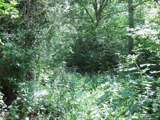
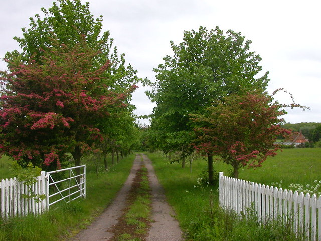
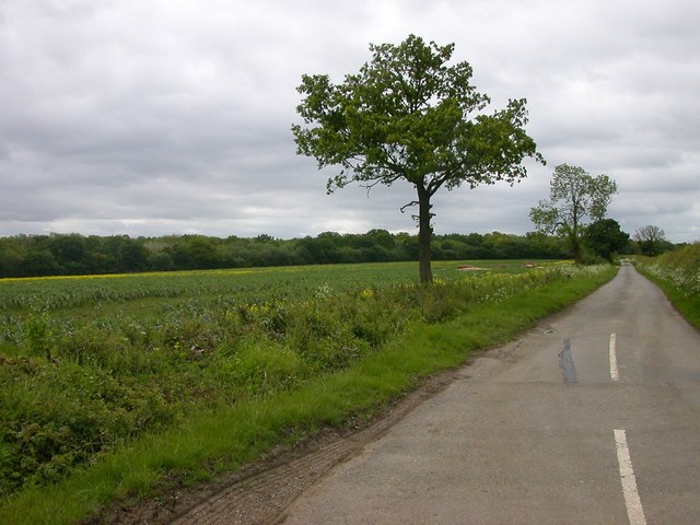
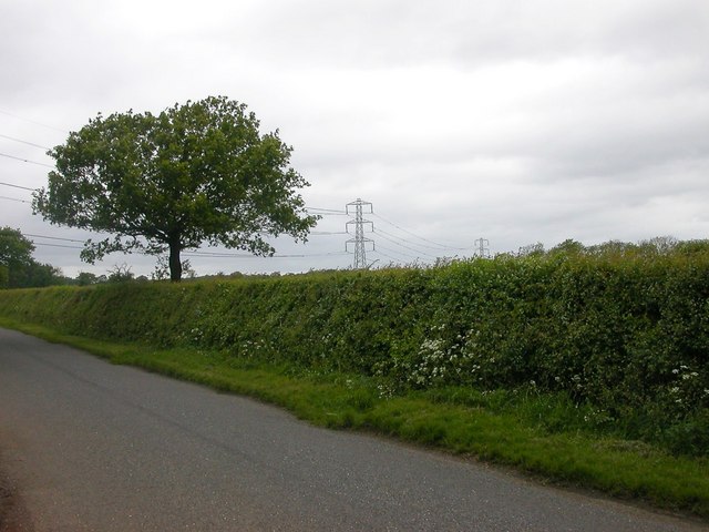
The village of Lillingstone Lovell is a small and picturesque settlement with charming rural characteristics. It is surrounded by beautiful countryside, with rolling hills, farmland, and pockets of woodland. The parish is known for its tranquil atmosphere and idyllic setting, attracting visitors seeking a peaceful retreat from city life.

There are several notable landmarks within Lillingstone Lovell. The most prominent is Lillingstone Lovell Manor, an impressive historic house dating back to the 17th century. The manor is a Grade I listed building and is renowned for its architectural grandeur and well-preserved features.

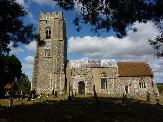
In addition to the manor, the parish also contains a 13th-century church dedicated to St. Mary. The church is a Grade II* listed building and showcases stunning medieval architecture. It is a significant cultural and historical site within the village.

Lillingstone Lovell offers a limited range of amenities, including a village hall used for community events and gatherings. However, for more extensive services and facilities, residents typically rely on nearby towns such as Buckingham and Bicester.

Overall, Lillingstone Lovell is a charming and picturesque civil parish, known for its historic manor, beautiful countryside, and peaceful ambiance. It provides an escape from the hustle and bustle of city life, offering residents and visitors a tranquil rural experience.

If you have any feedback on the listing, please let us know in the comments section below.

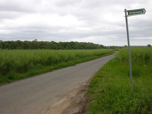
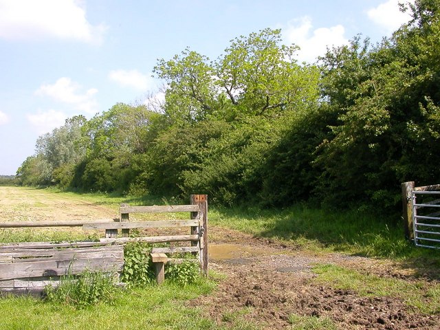
Lillingstone Lovell Images

Images are sourced within 2km of 52.064448/-0.95935 or Grid Reference SP7141. Thanks to Geograph Open Source API. All images are credited.

A413 County Border Here the A413 passes between Shirehill Wood and Lovel Wood. Where the road exits these two woods (which you can just see) is the boundary between Buckinghamshire to the south and Northamptonshire to the north.
A413 County Border
Here the A413 passes between Shirehill Wood and Lovel Wood. Where the road exits these two woods (which you can just see) is the boundary between Buckinghamshire to the south and Northamptonshire to the north.
Lovel Wood Dense undergrowth and trees in Lovel Wood beside the A413 near the Bucks/Northants border.
Lovel Wood
Dense undergrowth and trees in Lovel Wood beside the A413 near the Bucks/Northants border.
Track by Hall Farm, Lillingstone Lovell The track runs across to the A413
Track by Hall Farm, Lillingstone Lovell
The track runs across to the A413
Cottages in Lillingstone Lovell
Lillingstone Lovell church 14th century church, tower built in 1210.
Lillingstone Lovell church
14th century church, tower built in 1210.
Triangle road junction near Lillingstone Lovell The main A413 road from Buckingham to Towcester runs across the photo, the road from Lillingstone Lovell splits into two approaching it and encloses a grassy triangle.
Triangle road junction near Lillingstone Lovell
The main A413 road from Buckingham to Towcester runs across the photo, the road from Lillingstone Lovell splits into two approaching it and encloses a grassy triangle.
Cattle grid, near Lillingstone Dayrell On the track to Hall Farm from the A413 road.
Cattle grid, near Lillingstone Dayrell
On the track to Hall Farm from the A413 road.
Whittlebury Road leading down to Home Farm.
Whittlebury
Road leading down to Home Farm.
Whittlebury The road at the edge of Birch Copse.
Whittlebury
The road at the edge of Birch Copse.
Whittlewood Forest The lane to Townsend Nurseries.
Whittlewood Forest
The lane to Townsend Nurseries.
Lillingstone Lovell The Road towards Leckhampstead Wood.
Lillingstone Lovell
The Road towards Leckhampstead Wood.
Whittlewood Forest The point at which the power lines cross the road from Whittlebury to Deanshanger.
Whittlewood Forest
The point at which the power lines cross the road from Whittlebury to Deanshanger.
Wicken Wood The road from Lillingstone Lovell showing East Ashalls Copse.
Wicken Wood
The road from Lillingstone Lovell showing East Ashalls Copse.
Whittlebury Farmland north of Linshire Copse.
Whittlebury
Farmland north of Linshire Copse.
Lillingstone Lovell The Spinney near the Manor House.
Lillingstone Lovell
The Spinney near the Manor House.
Lillingstone Lovell Thatched Cottages from the meadow.
Lillingstone Lovell
Thatched Cottages from the meadow.
Lillingstone Lovell Cottages near the Church.
Lillingstone Lovell
Cottages near the Church.
Lillingstone Lovell Houses on Brookside.
Lillingstone Lovell
Houses on Brookside.
Show me another place!

Lillingstone Lovell is located at Grid Ref: SP7141 (Lat: 52.064448, Lng: -0.95935)

Unitary Authority: Buckinghamshire

Police Authority: Thames Valley

What 3 Words

///skirting.tens.wishes. Near Potterspury, Northamptonshire

Related Wikis

Lillingstone Lovell

Lillingstone Lovell is a village and civil parish in north Buckinghamshire, England. It is located around 4 miles (6.4 km) north of Buckingham and 8 miles...

Whittlewood Forest

Whittlewood Forest is a former medieval hunting forest east of Silverstone in Northamptonshire in England. It is managed by the Forestry England. There...

Lillingstone Dayrell

Lillingstone Dayrell is a village and former civil parish, now in the parish of Lillingstone Dayrell with Luffield Abbey, in Buckinghamshire, England....

St Mary's Church, Kersey

St Mary's Church is a Grade I listed parish church in the Church of England in Kersey, Suffolk. == The Shrine at St Mary's == In Medieval times St Mary...

Nearby Amenities

Located within 500m of 52.064448,-0.95935
Place: farm
Lat/Long: 52.060691/-0.9601848
The data included in this document is from www.openstreetmap.org. The data is made available under ODbL.

Have you been to Lillingstone Lovell?

Leave your review of Lillingstone Lovell below (or comments, questions and feedback).