Lillingstone Dayrell with Luffield Abbey

Civil Parish in Buckinghamshire

England

Lillingstone Dayrell with Luffield Abbey

Clearing in Stowe Woods With a view towards Wolfe Obelisk.
Clearing in Stowe Woods Credit: DS Pugh

Lillingstone Dayrell with Luffield Abbey is a civil parish located in the county of Buckinghamshire, England. The parish is made up of two villages, Lillingstone Dayrell and Luffield Abbey, which are situated in close proximity to each other.

Lillingstone Dayrell is a small village with a population of around 100 people. It is known for its picturesque setting, surrounded by rolling countryside and charming cottages. The village is notable for its historic manor house, Lillingstone Dayrell House, which dates back to the 17th century. The house is a Grade II listed building and is privately owned.

Luffield Abbey, on the other hand, is a former Cistercian monastery that was founded in the 12th century. The abbey played an important role in the religious and cultural life of the region for several centuries. However, following the Dissolution of the Monasteries in the 16th century, the abbey fell into disrepair. Today, only ruins of the abbey remain, which are a Scheduled Ancient Monument and are open to the public.

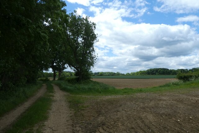
Both Lillingstone Dayrell and Luffield Abbey are popular destinations for visitors who are drawn to the area's rich history and natural beauty. The villages offer a peaceful and idyllic setting, making them a perfect getaway for those seeking a tranquil retreat in the heart of the Buckinghamshire countryside.

If you have any feedback on the listing, please let us know in the comments section below.

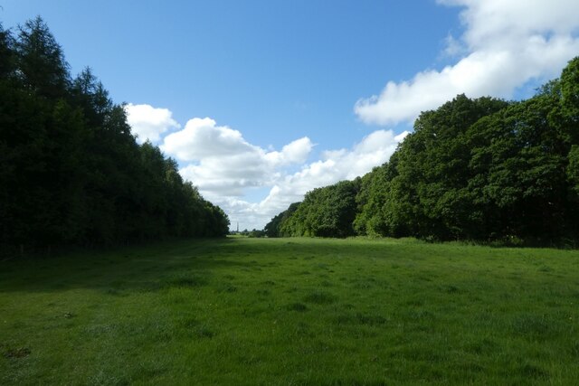
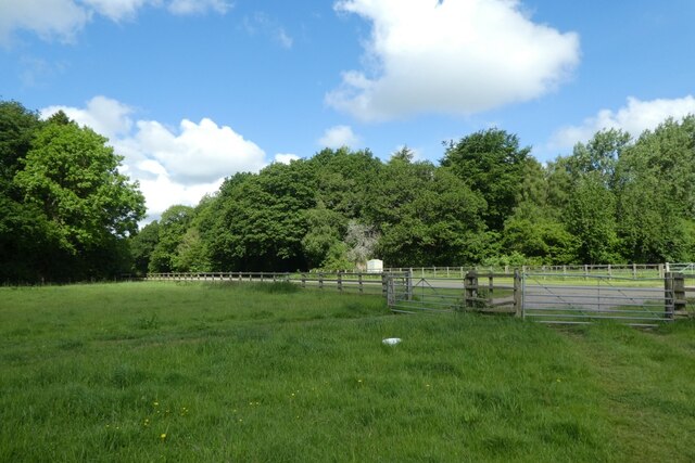
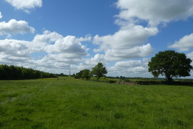
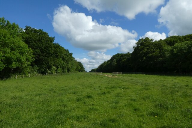
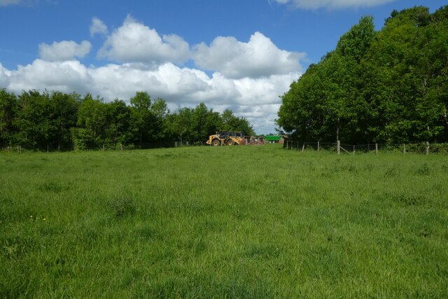
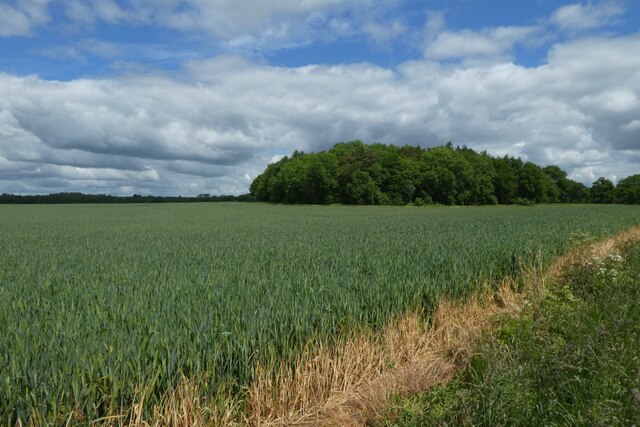
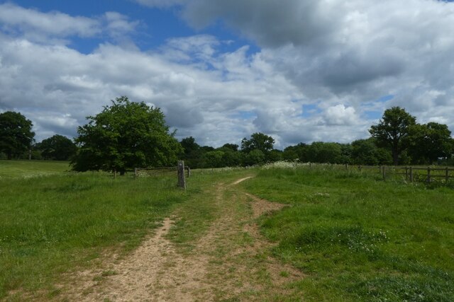
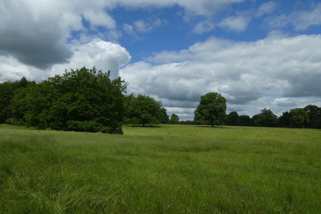
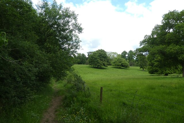
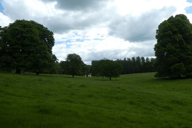
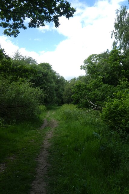
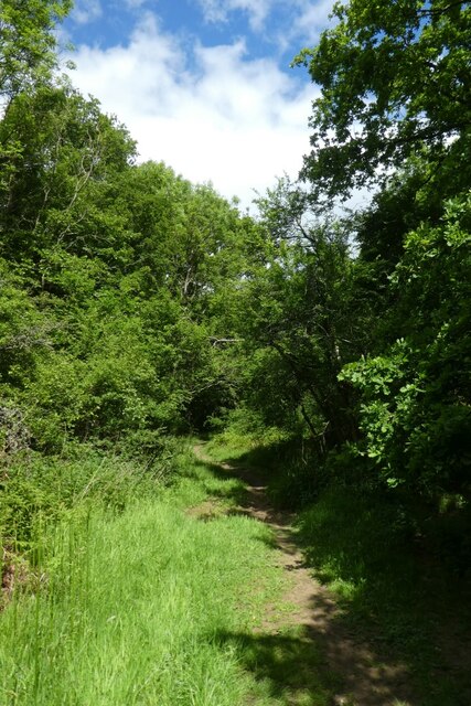
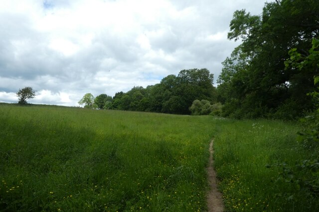
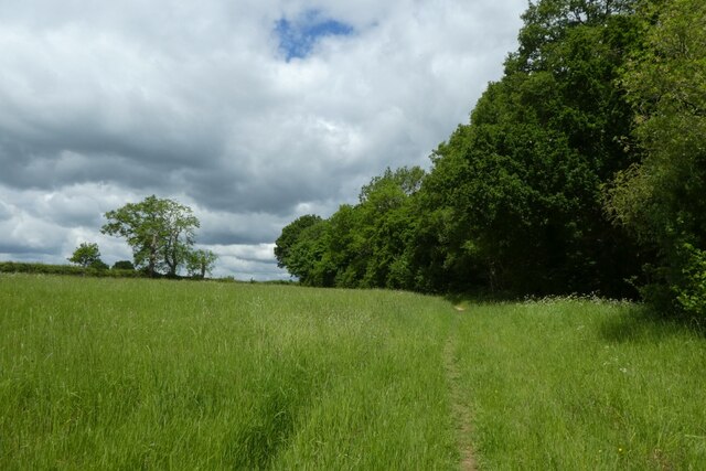
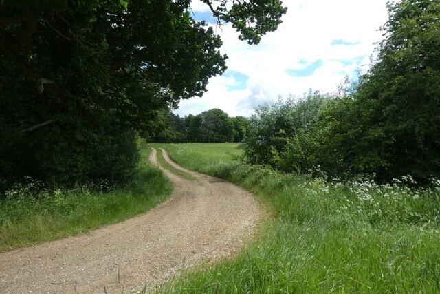
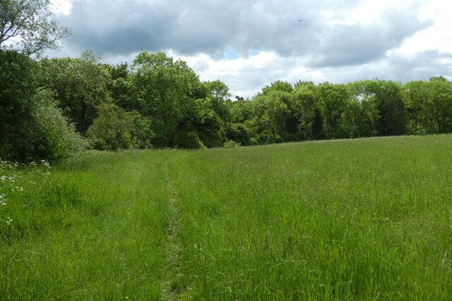
Lillingstone Dayrell with Luffield Abbey Images

Images are sourced within 2km of 52.059323/-0.995658 or Grid Reference SP6840. Thanks to Geograph Open Source API. All images are credited.

Clearing in Stowe Woods With a view towards Wolfe Obelisk.
Clearing in Stowe Woods
With a view towards Wolfe Obelisk.
Track to Blackpit Farm Looking towards a farm road in the clearing in Stowe Woods.
Track to Blackpit Farm
Looking towards a farm road in the clearing in Stowe Woods.
Clearing south of Stowe Woods Looking towards Wolfe Obelisk in the distance.
Clearing south of Stowe Woods
Looking towards Wolfe Obelisk in the distance.
Path through Stowe Woods Looking along a path through a clearing in the woods.
Path through Stowe Woods
Looking along a path through a clearing in the woods.
Heavy plant near Stowe Woods Looking towards various diggers near the woods.
Heavy plant near Stowe Woods
Looking towards various diggers near the woods.
Wheat growing beside the path Looking across farmland at Stowe.
Wheat growing beside the path
Looking across farmland at Stowe.
Junction of paths The bridleway continues ahead, with a footpath crossing.
Junction of paths
The bridleway continues ahead, with a footpath crossing.
Fields of long grass Looking across a field to the north of a bridleway near Stowe.
Fields of long grass
Looking across a field to the north of a bridleway near Stowe.
Bridleway towards Charmandean School Looking along a path beside Home Wood.
Bridleway towards Charmandean School
Looking along a path beside Home Wood.
Fields near Charmandean School With the Old Tilehouse in the distance.
Fields near Charmandean School
With the Old Tilehouse in the distance.
Bridleway in the woods Looking along a path in Home Wood.
Bridleway in the woods
Looking along a path in Home Wood.
Bridleway near Charmandean School Looking along a bridleway heading towards Silverstone.
Bridleway near Charmandean School
Looking along a bridleway heading towards Silverstone.
Path near Tilehouse Wood Looking along a bridleway leading towards Whittlebury.
Path near Tilehouse Wood
Looking along a bridleway leading towards Whittlebury.
Speckled Wood butterfly Looking towards a butterfly catching the sun on the baked ground just north of the woods.
Speckled Wood butterfly
Looking towards a butterfly catching the sun on the baked ground just north of the woods.
Path near Home Wood Looking along a bridleway through the long grass.
Path near Home Wood
Looking along a bridleway through the long grass.
Along Holback Lane Looking along Holback Lane where a bridleway from Stowe meets the track.
Along Holback Lane
Looking along Holback Lane where a bridleway from Stowe meets the track.
Path towards Stowe Looking along a bridleway from Holback Lane.
Path towards Stowe
Looking along a bridleway from Holback Lane.
South along Holback Lane Looking along a bridleway leading to Stowe.
South along Holback Lane
Looking along a bridleway leading to Stowe.
Show me another place!

Lillingstone Dayrell with Luffield Abbey is located at Grid Ref: SP6840 (Lat: 52.059323, Lng: -0.995658)

Unitary Authority: Buckinghamshire

Police Authority: Thames Valley

What 3 Words

///comply.rider.fame. Near Silverstone, Northamptonshire

Related Wikis

Lillingstone Dayrell

Lillingstone Dayrell is a village and former civil parish, now in the parish of Lillingstone Dayrell with Luffield Abbey, in Buckinghamshire, England....

Silverstone Heliport

Silverstone Heliport (ICAO: EGBV) is 5 nautical miles (9.3 km; 5.8 mi) north of Buckingham, Buckinghamshire, England and within the mid-east of the Silverstone...

RAF Silverstone

Royal Air Force Silverstone or more simply RAF Silverstone is a former Royal Air Force (RAF) station, the site is now used as Silverstone Circuit. It straddles...

Development history of Silverstone Circuit

Silverstone Circuit is built on the site of a World War II Royal Air Force bomber station, RAF Silverstone, which opened in 1943. The airfield's three...

Nearby Amenities

Located within 500m of 52.059323,-0.995658
Power: pole
Lat/Long: 52.0615807/-1.0016064
Power: pole
Lat/Long: 52.0615126/-1.0006039
Power: pole
Lat/Long: 52.0611215/-0.9994475
Power: pole
Lat/Long: 52.060793/-0.9984707
Power: pole
Lat/Long: 52.0603447/-0.997147
Power: pole
Lat/Long: 52.0594112/-0.9960216
Power: pole
Lat/Long: 52.0584641/-0.9948734
Power: pole
Lat/Long: 52.0579185/-0.9934746
Power: pole
Lat/Long: 52.057453/-0.9922746
Power: pole
Lat/Long: 52.0568873/-0.9911117
Power: pole
Lat/Long: 52.0571265/-0.9898421
Power: pole
Lat/Long: 52.0623643/-0.9903279
Power: pole
Lat/Long: 52.061586/-0.9899202
Power: pole
Lat/Long: 52.0609461/-0.9895179
Power: pole
Lat/Long: 52.0602931/-0.9895822
Power: pole
Lat/Long: 52.0596648/-0.9895876
Power: pole
Lat/Long: 52.0587973/-0.9897271
Power: pole
Lat/Long: 52.057948/-0.9898049
The data included in this document is from www.openstreetmap.org. The data is made available under ODbL.

Have you been to Lillingstone Dayrell with Luffield Abbey?

Leave your review of Lillingstone Dayrell with Luffield Abbey below (or comments, questions and feedback).