Lilley
Civil Parish in Hertfordshire North Hertfordshire
England
Lilley
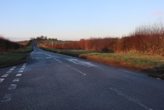
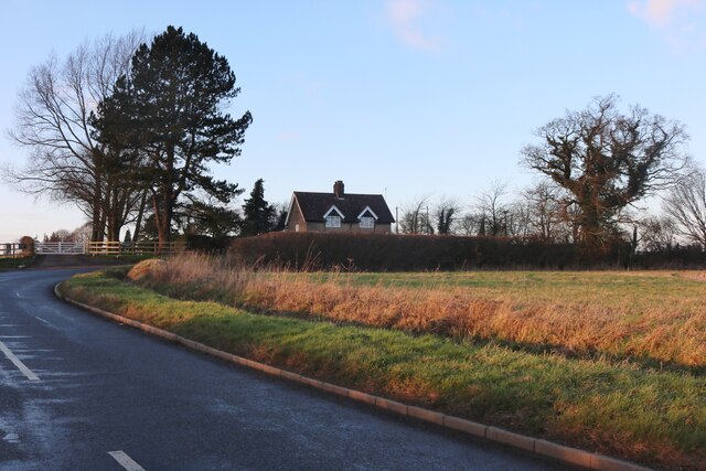
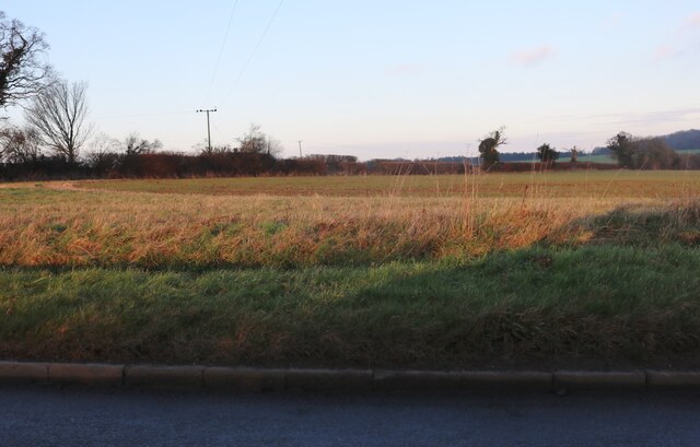
Lilley is a civil parish located in the county of Hertfordshire, England. Situated in the northern part of the county, the parish covers an area of approximately 4.5 square miles. It is surrounded by picturesque countryside, with rolling hills and farmland creating a scenic backdrop.
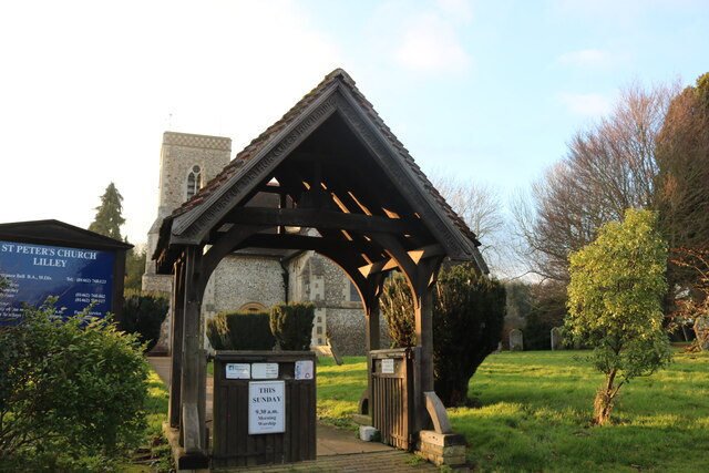
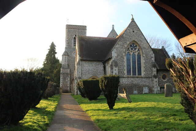
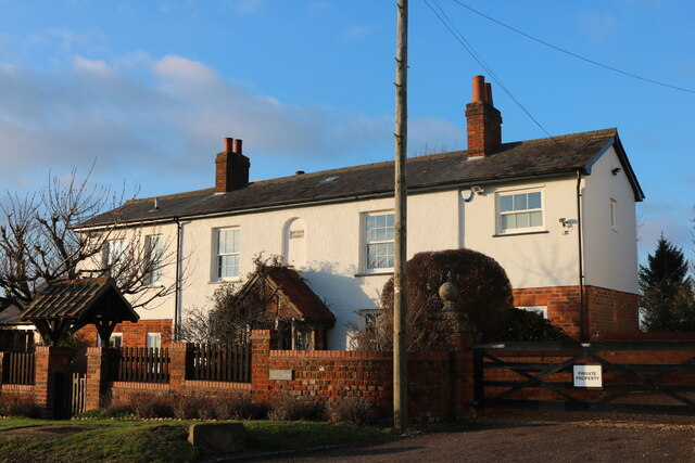
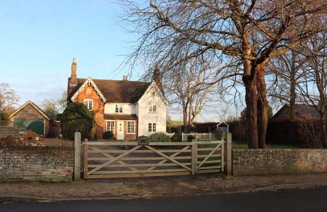
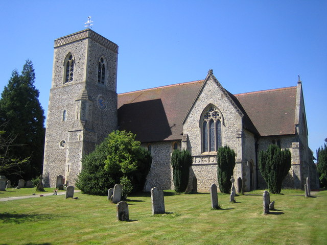
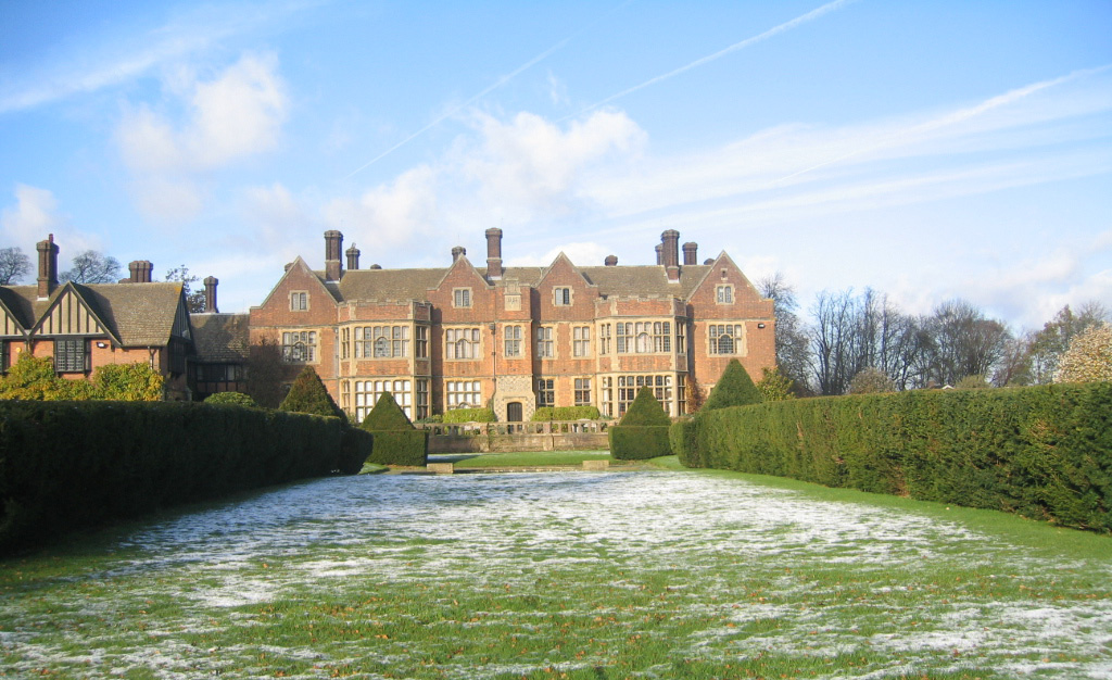
The village of Lilley itself is small and charming, with a population of around 400 residents. It is known for its historic buildings and traditional architecture, including a 12th-century church, St. Peter's, which is a prominent feature of the village. The church is a Grade I listed building and is a popular destination for history enthusiasts and visitors interested in architectural heritage.
The parish is also home to a number of other notable landmarks, such as Lilley Arms, a traditional pub that dates back to the 17th century. The pub serves as a hub for the local community and attracts visitors from surrounding areas.
Lilley is well-connected to nearby towns and cities, with Luton located just 5 miles to the east, and Hitchin around 7 miles to the west. This provides residents with convenient access to a range of amenities and services, including shopping centers, schools, and healthcare facilities.
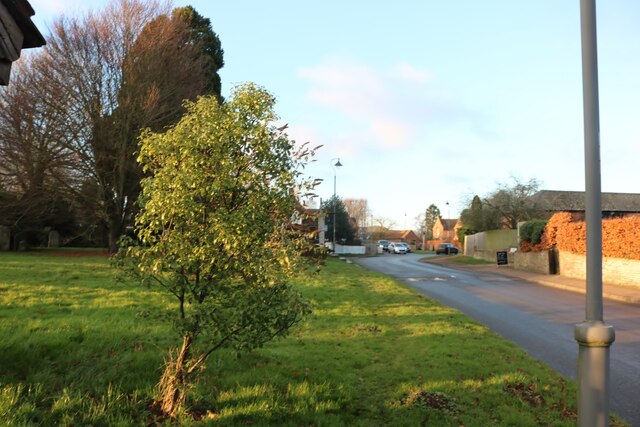
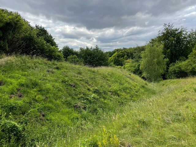
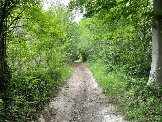
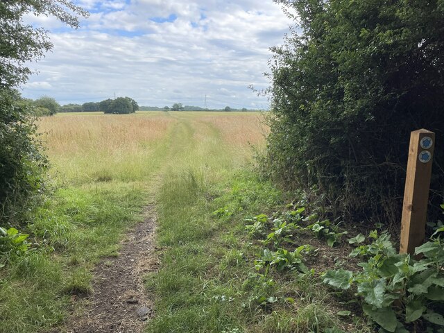
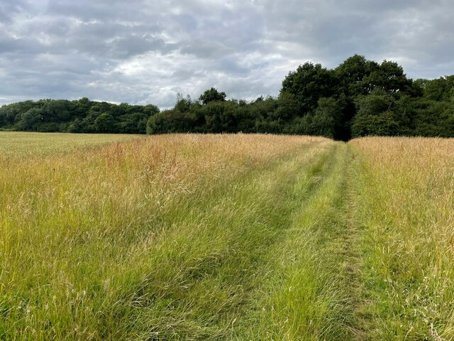
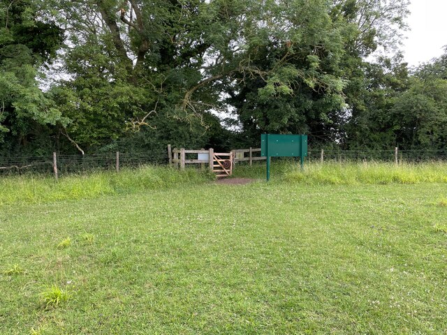
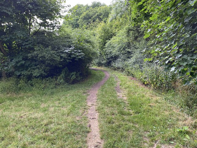
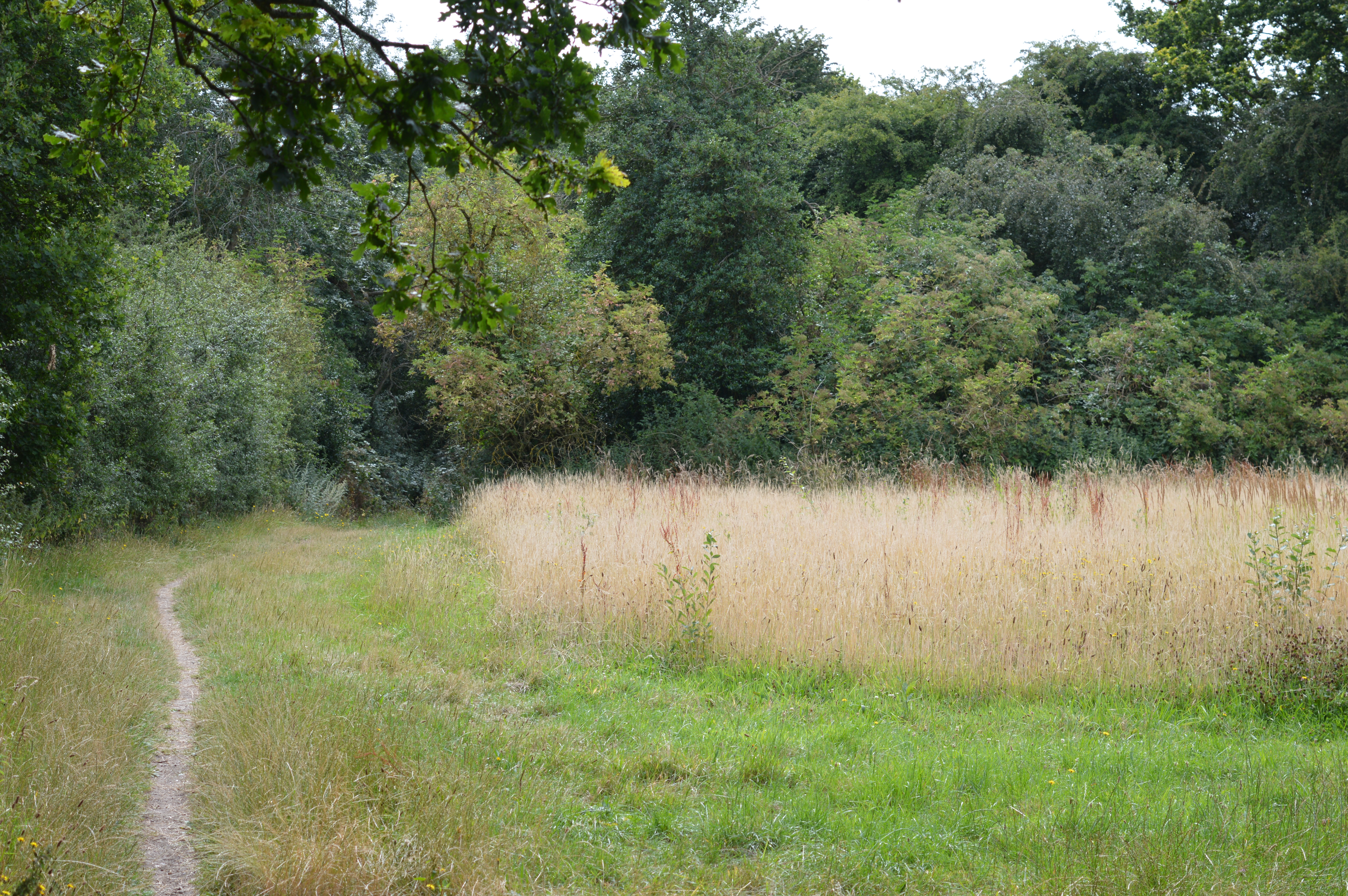
The area surrounding Lilley is predominantly rural, offering residents and visitors ample opportunities for outdoor activities such as hiking, cycling, and horse riding. The picturesque countryside and peaceful atmosphere make Lilley an attractive place to live for those seeking a tranquil and idyllic village lifestyle.
If you have any feedback on the listing, please let us know in the comments section below.
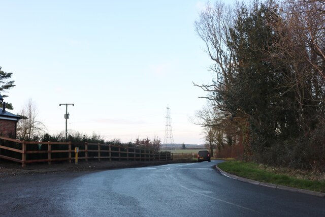
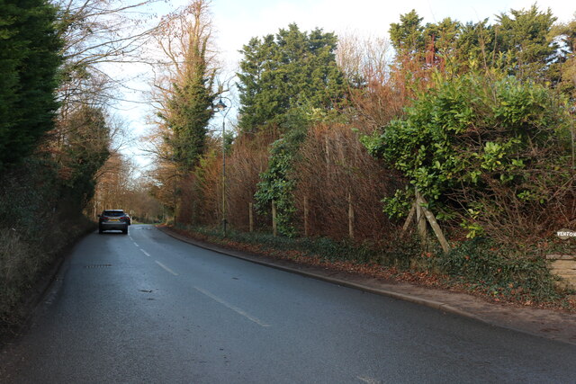
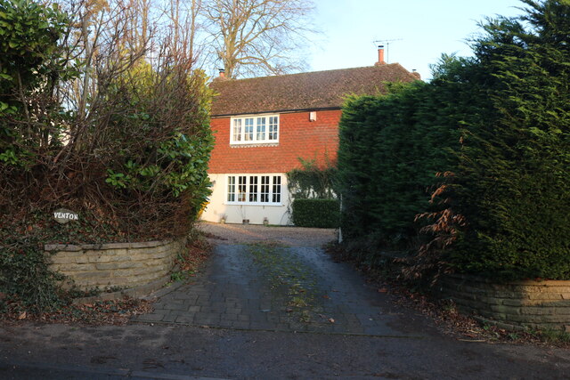
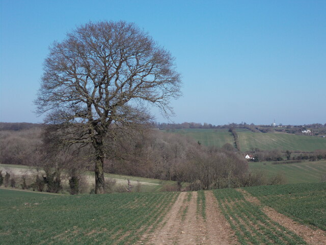
Lilley Images
Images are sourced within 2km of 51.931415/-0.376364 or Grid Reference TL1127. Thanks to Geograph Open Source API. All images are credited.
Lilley is located at Grid Ref: TL1127 (Lat: 51.931415, Lng: -0.376364)
Administrative County: Hertfordshire
District: North Hertfordshire
Police Authority: Hertfordshire
What 3 Words
///torn.fear.glue. Near Streatley, Bedfordshire
Nearby Locations
Related Wikis
Lilley, Hertfordshire
Lilley is a small village and civil parish situated between Hitchin and Luton in Hertfordshire, England. Lilley stands on high ground: nearby Telegraph...
Telegraph Hill, Hertfordshire
Telegraph Hill is a nature reserve near Lilley in north Hertfordshire. It is in the Chilterns Area of Outstanding Natural Beauty (AONB). According to...
Putteridge Bury
Putteridge Bury is a country house on the edge of the built-up area of Luton, Bedfordshire, England but located just over the county boundary in the parish...

Pegsdon Hills and Hoo Bit
Pegsdon Hills and Hoo Bit is a 79-hectare (200-acre) nature reserve in Pegsdon in Bedfordshire. It is managed by the Wildlife Trust for Bedfordshire, Cambridgeshire...
Nearby Amenities
Located within 500m of 51.931415,-0.376364Have you been to Lilley?
Leave your review of Lilley below (or comments, questions and feedback).