Letwell

Civil Parish in Yorkshire Rotherham

England

Letwell

Driveway to Langold Farm
Driveway to Langold Farm Credit: Neil Theasby

Letwell, Yorkshire is a civil parish located in the county of South Yorkshire, England. Situated approximately 15 miles east of Sheffield, it is a small rural village with a population of around 250 residents. The parish covers an area of approximately 2 square miles.

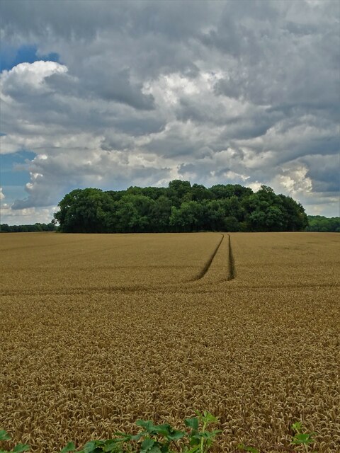
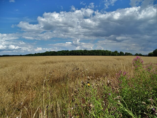
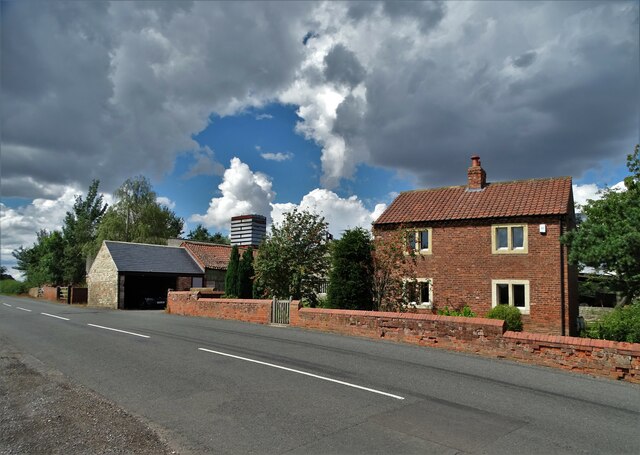
The village is characterized by its picturesque countryside setting, with rolling hills and beautiful landscapes. It is surrounded by farmland and dotted with traditional stone-built houses, giving it a quintessential English countryside feel. The village is known for its peaceful and tranquil atmosphere, making it an attractive place for those seeking a quiet rural lifestyle.

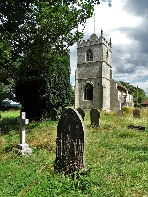
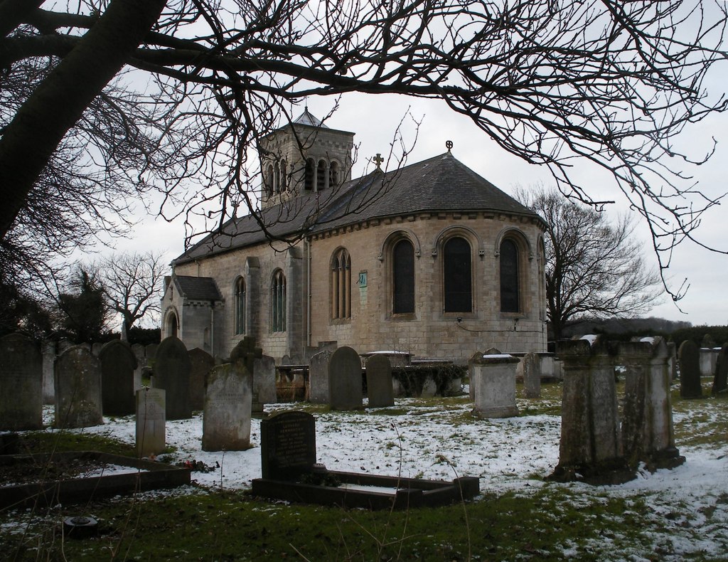
Letwell has a rich history, dating back to the Domesday Book in the 11th century. The village is home to St Peter's Church, a Grade II listed building that dates back to the 12th century. The church is a prominent feature in the village and holds regular services, as well as hosting community events.

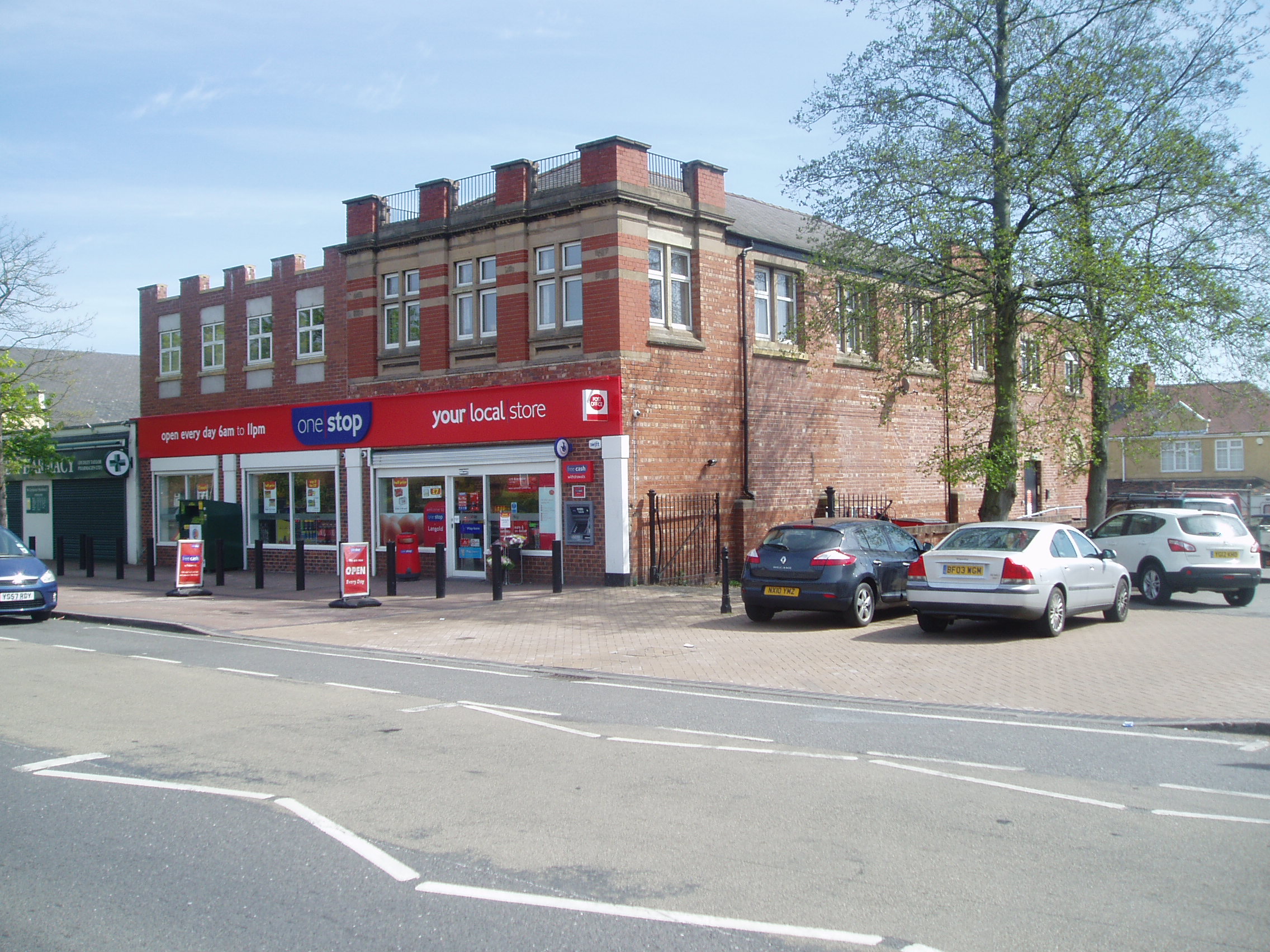
While Letwell is primarily a residential area, there are a few amenities available to residents. These include a village hall, which serves as a hub for community activities and events. Additionally, there is a small primary school located in the neighboring village of Firbeck, catering to the educational needs of local children.

The village is well-connected to the surrounding areas by road, with the A57 running nearby, providing easy access to larger towns and cities in the region. Overall, Letwell offers a tranquil and idyllic setting for those looking to enjoy the beauty of the Yorkshire countryside.

If you have any feedback on the listing, please let us know in the comments section below.
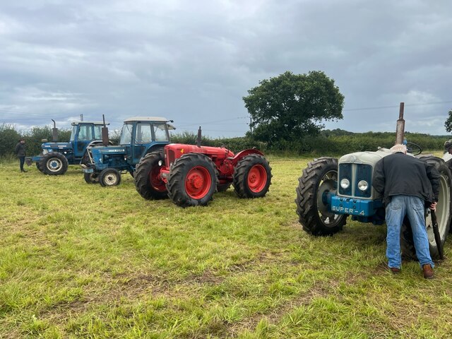
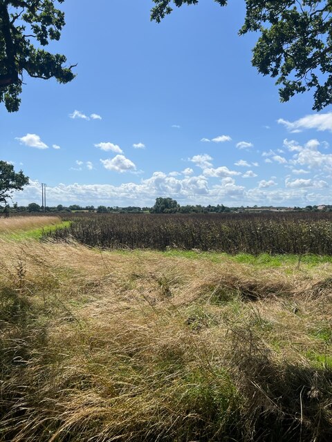
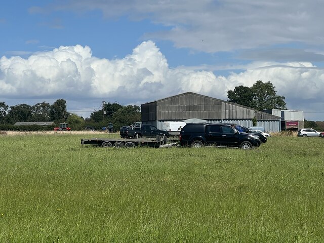
Letwell Images

Images are sourced within 2km of 53.373575/-1.157169 or Grid Reference SK5686. Thanks to Geograph Open Source API. All images are credited.

Driveway to Langold Farm
View over barley to Dog Kennels Plantation
St Peter's Church, Letwell The church was built around 1375 by John Mauleverer but has been substantially altered several times since. Much of the church was rebuilt in 1820, at the expense of Henry Gally Knight, the owner of Firbeck Hall. In 1867 the church suffered a devastating fire.
St Peter's Church, Letwell
The church was built around 1375 by John Mauleverer but has been substantially altered several times since. Much of the church was rebuilt in 1820, at the expense of Henry Gally Knight, the owner of Firbeck Hall. In 1867 the church suffered a devastating fire.
Farmland east of Gildingwells Looking to Langold Holt.
Farmland east of Gildingwells
Looking to Langold Holt.
Buckwood Farm on Rotherham Baulk
Cut Mark: Firbeck, Black Lion Cut bench mark on the east angle of the frontage of the Black Lion pub.  See <a title="https://www.geograph.org.uk/photo/7049454" href="https://www.geograph.org.uk/photo/7049454">Link</a> for a wider view and <span class="nowrap"><a title="https://www.bench-marks.org.uk/bm72738" rel="nofollow ugc noopener" href="https://www.bench-marks.org.uk/bm72738">Link</a><img style="margin-left:2px;" alt="External link" title="External link - shift click to open in new window" src="https://s1.geograph.org.uk/img/external.png" width="10" height="10"/></span> for details.
Cut Mark: Firbeck, Black Lion
Cut bench mark on the east angle of the frontage of the Black Lion pub. See Link for a wider view and LinkExternal link for details.
The Black Lion, Firbeck There is a cut bench mark on the east (left) angle of the frontage of the Black Lion pub.  See <a title="https://www.geograph.org.uk/photo/7049447" href="https://www.geograph.org.uk/photo/7049447">Link</a> for a closer view and <span class="nowrap"><a title="https://www.bench-marks.org.uk/bm72738" rel="nofollow ugc noopener" href="https://www.bench-marks.org.uk/bm72738">Link</a><img style="margin-left:2px;" alt="External link" title="External link - shift click to open in new window" src="https://s1.geograph.org.uk/img/external.png" width="10" height="10"/></span> for details.
The Black Lion, Firbeck
There is a cut bench mark on the east (left) angle of the frontage of the Black Lion pub. See Link for a closer view and LinkExternal link for details.
Tractor line up The tractors ready for sale.
Tractor line up
The tractors ready for sale.
Farm Ditch A ditch or stream marked on the OS map.
Farm Ditch
A ditch or stream marked on the OS map.
Arable Crop A field of Beans ready for harvesting.
Arable Crop
A field of Beans ready for harvesting.
Moorlands Farm Barn One of several barns associated with Moorlands Farm.
Moorlands Farm Barn
One of several barns associated with Moorlands Farm.
Lime Avenue The back entrance to Firbeck Hall.
Lime Avenue
The back entrance to Firbeck Hall.
Bridleway to Firbeck An easy walk in the autumn sunshine.
Bridleway to Firbeck
An easy walk in the autumn sunshine.
Ploughed footpath Leads to Oldcotes.
Ploughed footpath
Leads to Oldcotes.
Salt Hill Lane A bridleway leading to Firbeck.
Salt Hill Lane
A bridleway leading to Firbeck.
Salthill Lodge
Salthill Lodge
Bridleway through Ivy Lodge Plantation
Ivy Lodge Plantation The tower for the winding gear at the former Harworth Colliery and the associated spoil heap can be seen in the far distance.
Ivy Lodge Plantation
The tower for the winding gear at the former Harworth Colliery and the associated spoil heap can be seen in the far distance.
Show me another place!

Letwell is located at Grid Ref: SK5686 (Lat: 53.373575, Lng: -1.157169)

Division: West Riding

Administrative County: South Yorkshire

District: Rotherham

Police Authority: South Yorkshire

What 3 Words

///method.tone.piglets. Near Dinnington, South Yorkshire

Related Wikis

St Peter's Church, Letwell

St Peter's Church, Letwell, is a parish church of the Church of England in Letwell. == Background == The Church of St Peter is found at the west end of...

Letwell

Letwell is a rural village and civil parish in the Metropolitan Borough of Rotherham in South Yorkshire, England, on the border with Nottinghamshire. It...

RAF Firbeck

Royal Air Force Firbeck or more simply RAF Firbeck is a former Royal Air Force station located west of Firbeck, South Yorkshire, England. The airfield...

Firbeck

Firbeck is a village and civil parish in the Metropolitan Borough of Rotherham in South Yorkshire, England, on the border with Nottinghamshire. It lies...

Langold

Langold is a village in the civil parish of Hodsock, in the Bassetlaw district, north Nottinghamshire, England. At the 2011 census it was defined as a...

St Luke's Church, Langold

St Luke's Church, Langold is a parish church in the Church of England in Langold. == History == The church was built in 1928. The foundation stone reads...

Costhorpe

Costhorpe is a hamlet in the civil parish of Carlton in Lindrick, in the Bassetlaw district in Nottinghamshire, England. It is to the north of Worksop...

Woodsetts

Woodsetts is a village and civil parish in the Metropolitan Borough of Rotherham in South Yorkshire, England, on the border with Nottinghamshire. It lies...

Nearby Amenities

Located within 500m of 53.373575,-1.157169
Letwell
Place: village
Wikidata: Q6533887
Wikipedia: en:Letwell
Lat/Long: 53.3767326/-1.1573759
Bus Stop
Ramper Road/Barker Hades Road
Alt Name: Ramper Road/Barker Hades Road
Naptan AltCommonName: Ramper Road/Barker Hades Road
Naptan AtcoCode: 370035875
Naptan Bearing: N
Naptan BusStopType: CUS
Naptan CommonName: Ramper Road/Barker Hades Road
Naptan Indicator: 35875
Naptan Landmark: 35875
Naptan PlusbusZoneRef: ROTHCEN
Naptan Street: Ramper Road
Naptan Verified: no
Source: naptan_import
Lat/Long: 53.3772109/-1.1574244
Bus Stop
Ramper Road/Barker Hades Road
Alt Name: Ramper Road/Barker Hades Road
Bus: yes
Departures Board: timetable
Naptan AltCommonName: Ramper Road/Barker Hades Road
Naptan AtcoCode: 370035878
Naptan Bearing: N
Naptan BusStopType: CUS
Naptan CommonName: Ramper Road/Barker Hades Road
Naptan Indicator: 35878
Naptan Landmark: 35878
Naptan PlusbusZoneRef: ROTHCEN
Naptan Street: Ramper Road
Naptan Verified: no
Shelter: yes
Source: naptan_import
Lat/Long: 53.3767655/-1.157451
Design: h-frame
Material: wood
Power: tower
Lat/Long: 53.3708211/-1.1525817
Design: h-frame
Material: wood
Power: tower
Lat/Long: 53.3713065/-1.1550031
Design: h-frame
Material: wood
Power: tower
Lat/Long: 53.3717767/-1.1573675
Design: h-frame
Material: wood
Power: tower
Lat/Long: 53.372167/-1.1593347
Design: h-frame
Material: wood
Power: tower
Lat/Long: 53.3725595/-1.161325
Design: h-frame
Material: wood
Power: tower
Lat/Long: 53.3732312/-1.1629767
Post Box
Collection Times: Mo-Fr 16:00; Sa 08:30
Post Box Type: lamp
Ref: S81 48
Royal Cypher: EIIR
Royal Cypher Wikidata: Q33102113
Lat/Long: 53.3768726/-1.1568714
Defibrillator
Access: yes
Check Date: 2023-03-09
Defibrillator Location: On outside wall.
Emergency: defibrillator
Indoor: no
Opening Hours: 24/7
Lat/Long: 53.3767895/-1.1559462
Historic: memorial
Memorial: war_memorial
Lat/Long: 53.3767796/-1.1572694
Shelter
Shelter Type: public_transport
Lat/Long: 53.3767796/-1.1571138
Advertising: board
Lat/Long: 53.3767732/-1.1570427
Public Bookcase
Booth: K6
Disused Amenity: telephone
Listed Status: Grade II
Man Made: telephone_box
Public Bookcase Type: phone_box
Lat/Long: 53.3767652/-1.156985
Bench
Backrest: yes
Lat/Long: 53.3772764/-1.1530209
The data included in this document is from www.openstreetmap.org. The data is made available under ODbL.

Have you been to Letwell?

Leave your review of Letwell below (or comments, questions and feedback).