Miller Lands
Downs, Moorland in Yorkshire
England
Miller Lands

Miller Lands is a picturesque region located in Yorkshire, England, and is renowned for its stunning landscapes consisting of downs and moorland. Spread across a vast expanse, this area offers an idyllic setting for nature enthusiasts and adventurers alike.
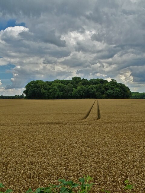
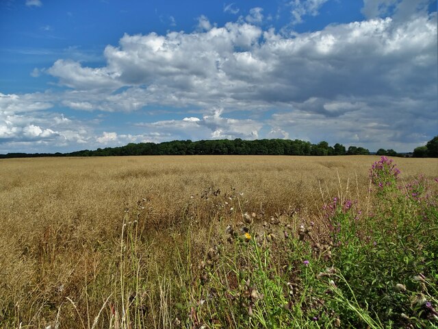
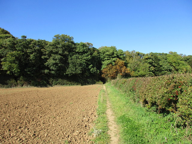
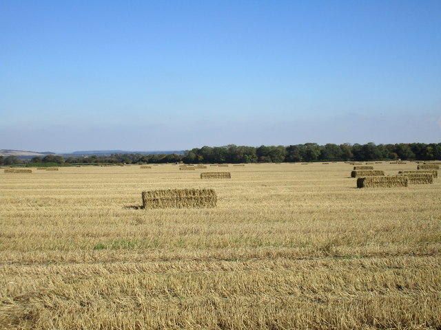
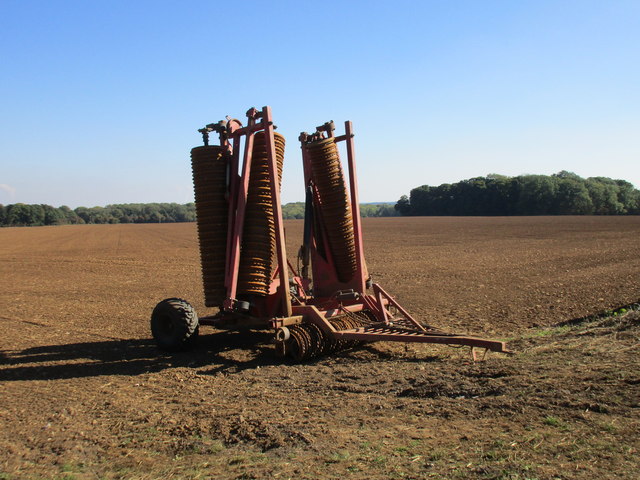
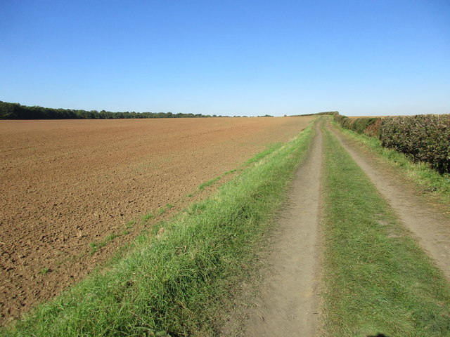
The downs of Miller Lands are characterized by rolling hills and expansive grasslands, providing a serene and tranquil atmosphere. These downs boast a rich variety of flora and fauna, with colorful wildflowers adorning the meadows during the summer months. The breathtaking views from the hilltops offer a perfect spot for picnics or a leisurely stroll, while the gentle slopes make it a popular destination for hikers and cyclists.
Adjacent to the downs, the moorland of Miller Lands presents a distinctly different landscape. Dotted with heather, gorse, and bracken, this rugged terrain offers a more dramatic and untamed environment. The moorland is also home to several species of birds and wildlife, including the iconic grouse, making it a haven for birdwatchers and nature photographers.
Miller Lands is rich in history as well, with ancient archaeological sites scattered throughout the region. Stone circles, burial mounds, and remnants of old settlements provide glimpses into the area's past and attract history enthusiasts and researchers.
Overall, Miller Lands in Yorkshire is a captivating destination that embodies the natural beauty and cultural heritage of the region. From the rolling downs to the wild moorland, this area offers a diverse and enchanting experience for visitors seeking to immerse themselves in the stunning landscapes and rich history of Yorkshire.
If you have any feedback on the listing, please let us know in the comments section below.
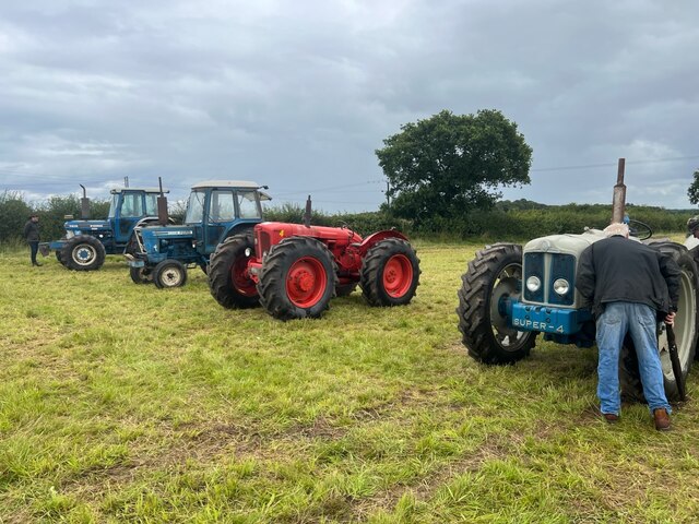
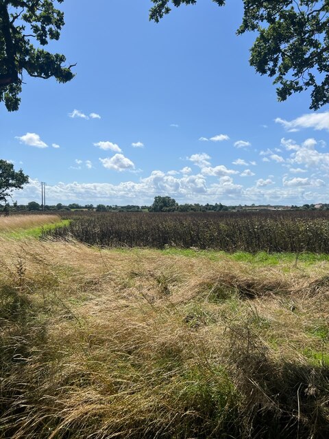
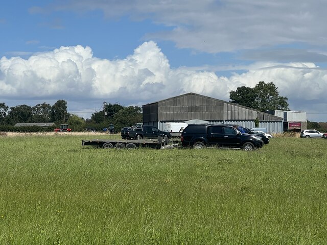
Miller Lands Images
Images are sourced within 2km of 53.36837/-1.1476943 or Grid Reference SK5686. Thanks to Geograph Open Source API. All images are credited.


Miller Lands is located at Grid Ref: SK5686 (Lat: 53.36837, Lng: -1.1476943)
Division: West Riding
Unitary Authority: Rotherham
Police Authority: South Yorkshire
What 3 Words
///loud.denote.iterative. Near Woodsetts, South Yorkshire
Nearby Locations
Related Wikis

Letwell
Letwell is a rural village and civil parish in the Metropolitan Borough of Rotherham in South Yorkshire, England, on the border with Nottinghamshire. It...
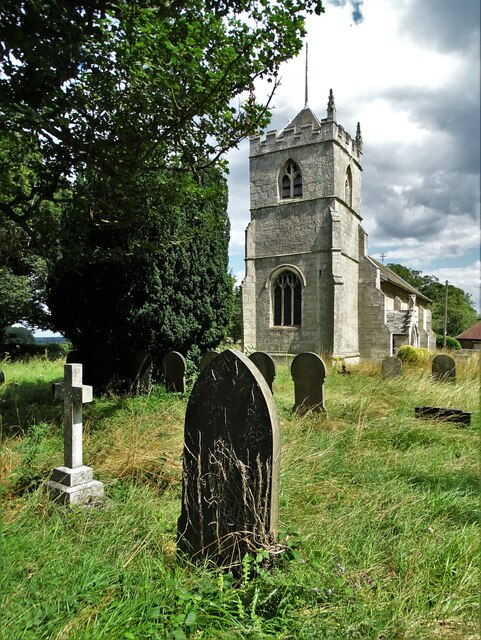
St Peter's Church, Letwell
St Peter's Church, Letwell, is a parish church of the Church of England in Letwell. == Background == The Church of St Peter is found at the west end of...

Costhorpe
Costhorpe is a hamlet in the civil parish of Carlton in Lindrick, in the Bassetlaw district in Nottinghamshire, England. It is to the north of Worksop...

St Luke's Church, Langold
St Luke's Church, Langold is a parish church in the Church of England in Langold. == History == The church was built in 1928. The foundation stone reads...
Nearby Amenities
Located within 500m of 53.36837,-1.1476943Have you been to Miller Lands?
Leave your review of Miller Lands below (or comments, questions and feedback).