Leadenham
Civil Parish in Lincolnshire North Kesteven
England
Leadenham
Leadenham is a charming and picturesque civil parish located in the county of Lincolnshire, England. Situated approximately 15 miles southwest of the city of Lincoln, the village is nestled in the scenic landscape of the Lincolnshire Wolds, an Area of Outstanding Natural Beauty.
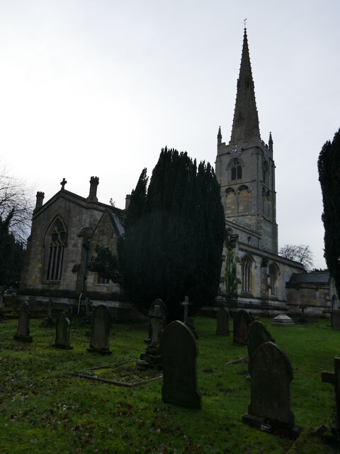
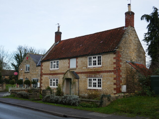
With a population of around 1,000 residents, Leadenham offers a tranquil and close-knit community atmosphere. The village is renowned for its well-preserved historic buildings, including the Grade I listed St. Swithin's Church, which dates back to the 12th century. The church boasts impressive architectural features, such as a medieval tower and stained glass windows.
Leadenham also features several other notable landmarks, including the Leadenham House, a Georgian mansion that now operates as a country hotel. The village is also home to a traditional village green, which serves as a focal point for community events and gatherings.
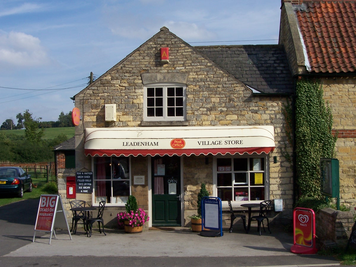
The village offers a range of amenities to cater to residents' needs, including a primary school, a village store, and a post office. Additionally, Leadenham hosts a monthly farmers' market, showcasing local produce and crafts.
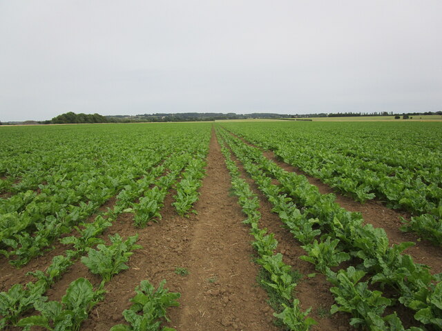
The surrounding area provides ample opportunities for outdoor enthusiasts, with numerous walking trails and cycling routes that crisscross the Lincolnshire Wolds. The nearby Leadenham Polo Club attracts visitors from far and wide to witness thrilling equestrian matches.
Overall, Leadenham is a picturesque and idyllic village, offering a serene and welcoming environment for both residents and visitors alike.
If you have any feedback on the listing, please let us know in the comments section below.
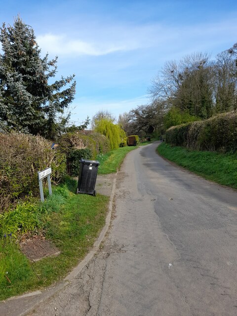
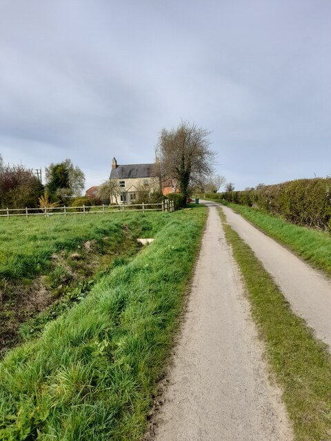
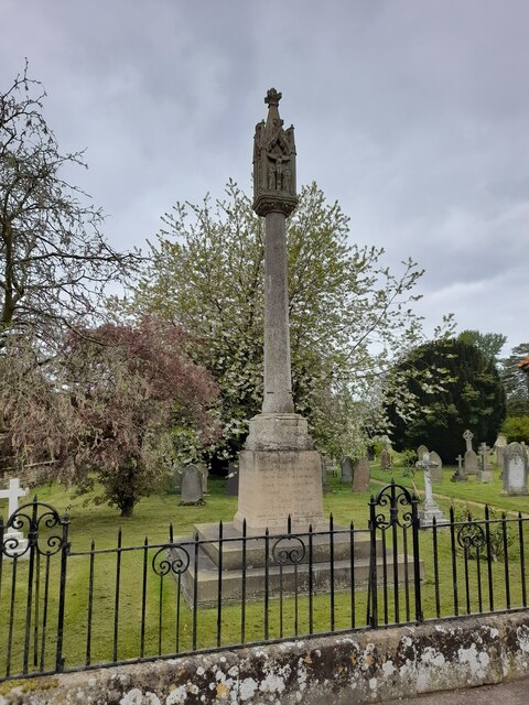
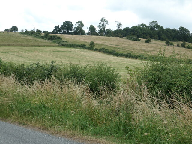
Leadenham Images
Images are sourced within 2km of 53.059908/-0.592202 or Grid Reference SK9452. Thanks to Geograph Open Source API. All images are credited.


![Building at Lincoln Road Industrial Estate, Leadenham This building [and others behind] are shown on the OS map surveyed in 1960 and look to date from the Second World War.](https://s0.geograph.org.uk/geophotos/07/22/05/7220596_c2b7163a.jpg)


Leadenham is located at Grid Ref: SK9452 (Lat: 53.059908, Lng: -0.592202)
Administrative County: Lincolnshire
District: North Kesteven
Police Authority: Lincolnshire
What 3 Words
///invented.wonderfully.seeing. Near Caythorpe, Lincolnshire
Nearby Locations
Related Wikis

Leadenham House
Leadenham House is a Grade II* listed Georgian country house in Leadenham, Lincolnshire, England. The house is constructed in '2½ storeys' of ashlar and...
Leadenham
Leadenham is a village and civil parish in North Kesteven district of Lincolnshire, England. The population of the civil parish at the 2011 census was...
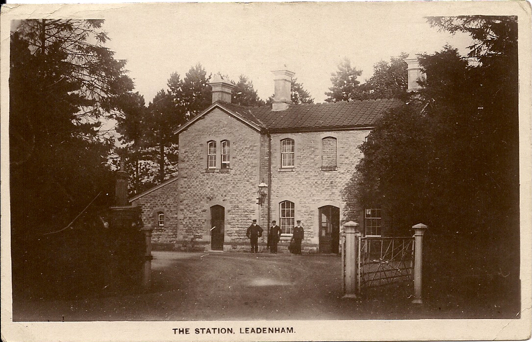
Leadenham railway station
Leadenham railway station was a railway station in Leadenham, Lincolnshire. It closed on 1 November 1965. The station was located on Main Road, being built...

St Nicholas' Church, Fulbeck
St Nicholas' Church is a Grade I listed Church of England parish church dedicated to Saint Nicholas, in Fulbeck, Lincolnshire, England. The church is 9...
Nearby Amenities
Located within 500m of 53.059908,-0.592202Have you been to Leadenham?
Leave your review of Leadenham below (or comments, questions and feedback).