Leaden Roding
Civil Parish in Essex Uttlesford
England
Leaden Roding

Leaden Roding is a civil parish located in the county of Essex, England. It is situated approximately 9 miles northwest of the town of Chelmsford and 7 miles southwest of the city of Great Dunmow. The parish covers an area of around 5.7 square miles and is home to a population of approximately 700 people.
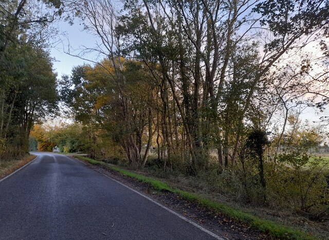
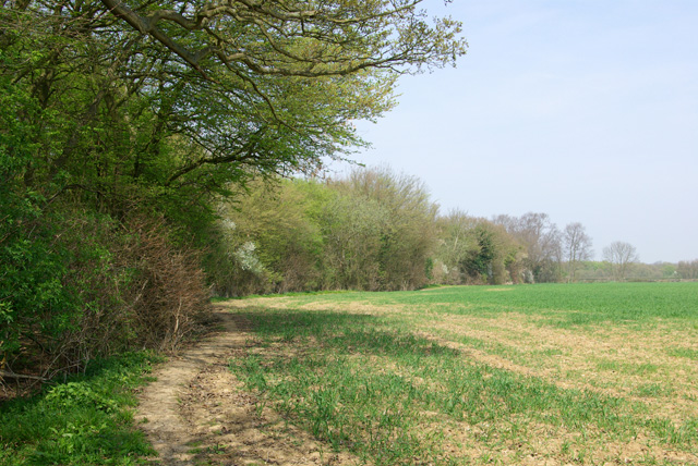
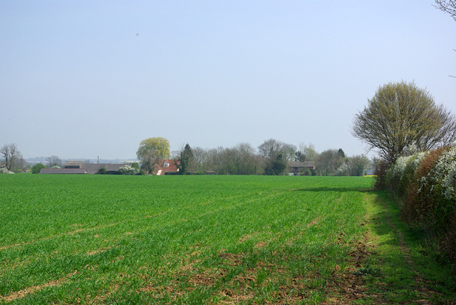
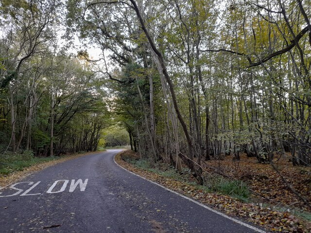
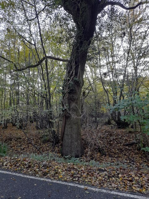
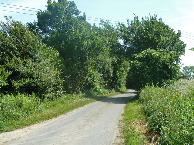
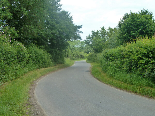
The village of Leaden Roding is known for its picturesque rural setting and charming character. It is surrounded by open farmland, offering beautiful views of the Essex countryside. The River Roding flows through the parish, adding to its natural beauty.
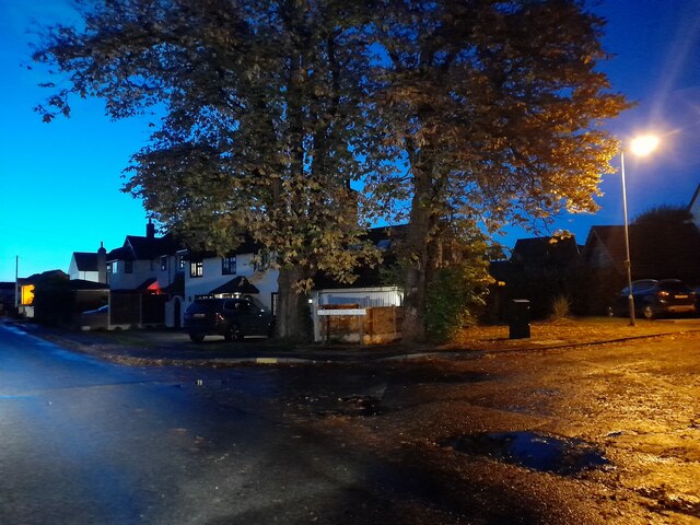
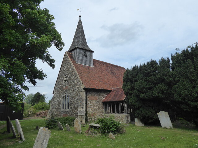
The village itself features a mix of traditional and modern architecture, with several historic buildings that date back to the 16th century. These include the St. Michael's Church, a Grade II listed building that stands as a prominent landmark in the area.
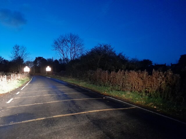
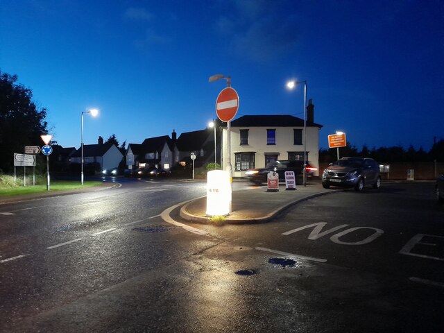
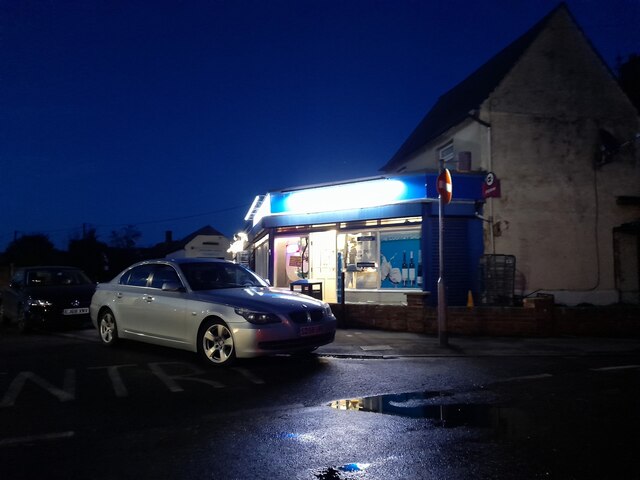
Leaden Roding has a close-knit community and offers a range of amenities for its residents. These include a local primary school, a village hall, a post office, and a pub. The village is also well-connected, with good transport links to nearby towns and cities.
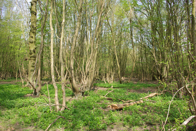
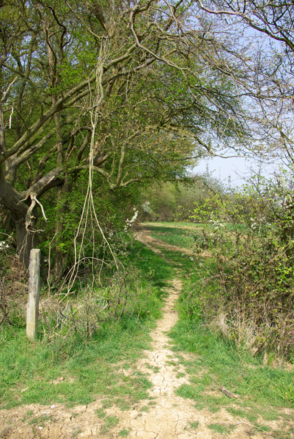
The parish is surrounded by various nature reserves and parks, providing ample opportunities for outdoor activities such as walking, cycling, and birdwatching. The nearby Hatfield Forest, managed by the National Trust, is particularly popular among nature enthusiasts.
Overall, Leaden Roding is a tranquil and picturesque village in Essex, offering residents a peaceful rural lifestyle with easy access to nearby amenities and natural beauty.
If you have any feedback on the listing, please let us know in the comments section below.
Leaden Roding Images
Images are sourced within 2km of 51.796085/0.301757 or Grid Reference TL5813. Thanks to Geograph Open Source API. All images are credited.


Leaden Roding is located at Grid Ref: TL5813 (Lat: 51.796085, Lng: 0.301757)
Administrative County: Essex
District: Uttlesford
Police Authority: Essex
What 3 Words
///aquatics.privately.rectangular. Near Hatfield Heath, Essex
Nearby Locations
Related Wikis

The Rodings
The Rodings are a group of eight villages in the upper part of the River Roding and the west of Essex, England, the largest group in the country to bear...

Leaden Roding
Leaden Roding is a village and civil parish in the Uttlesford district of Essex, England. The village is included in the eight hamlets and villages called...

Margaret Roding
Margaret Roding is a village and civil parish in the Uttlesford district of Essex, England. The village is included in the eight hamlets and villages called...

Aythorpe Roding
Aythorpe Roding is a village and civil parish in the Uttlesford district of Essex, England. The village is included in the eight hamlets and villages called...
Aythorpe Roding Windmill
Aythorpe Roding Windmill is a Grade II* listed Post mill at Aythorpe Roding, Essex, England which has been restored to working order. == History == Aythorpe...

White Roding Windmill
White Roding Windmill is a Grade II listed preserved tower mill at White Roding, Essex, England. == History == White Roding Windmill was built in 1877...

White Roding
White Roding is a village and civil parish in the Uttlesford district of Essex, England. The village is included in the eight hamlets and villages called...

Abbess Roding
Abbess Roding is a village and former civil parish, now in the parish of Abbess, Beauchamp and Berners Roding and the Epping Forest District of Essex,...
Nearby Amenities
Located within 500m of 51.796085,0.301757Have you been to Leaden Roding?
Leave your review of Leaden Roding below (or comments, questions and feedback).