Langford
Civil Parish in Bedfordshire
England
Langford
The requested URL returned error: 429 Too Many Requests
If you have any feedback on the listing, please let us know in the comments section below.
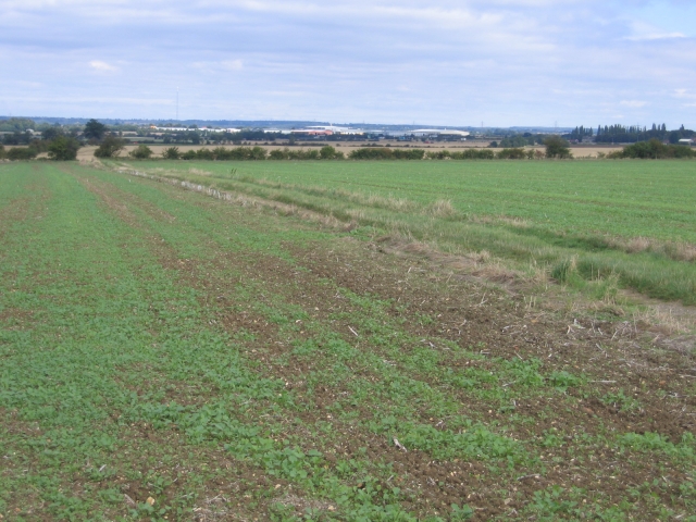
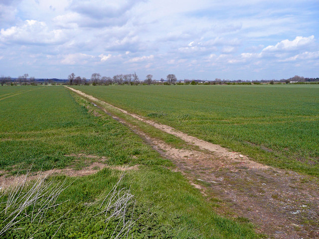
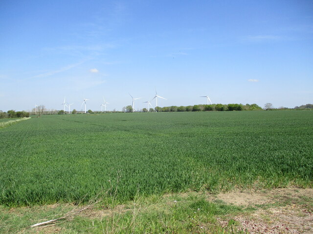
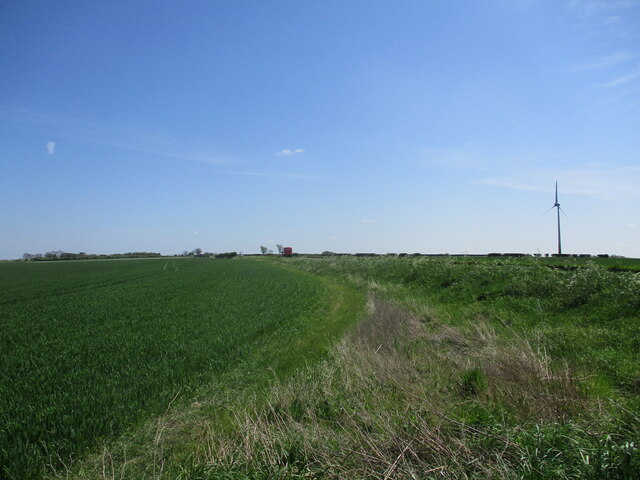
Langford Images
Images are sourced within 2km of 52.049209/-0.260573 or Grid Reference TL1940. Thanks to Geograph Open Source API. All images are credited.


Langford is located at Grid Ref: TL1940 (Lat: 52.049209, Lng: -0.260573)
Unitary Authority: Central Bedfordshire
Police Authority: Bedfordshire
What 3 Words
///goodnight.devalued.whirlpool. Near Langford, Bedfordshire
Nearby Locations
Related Wikis
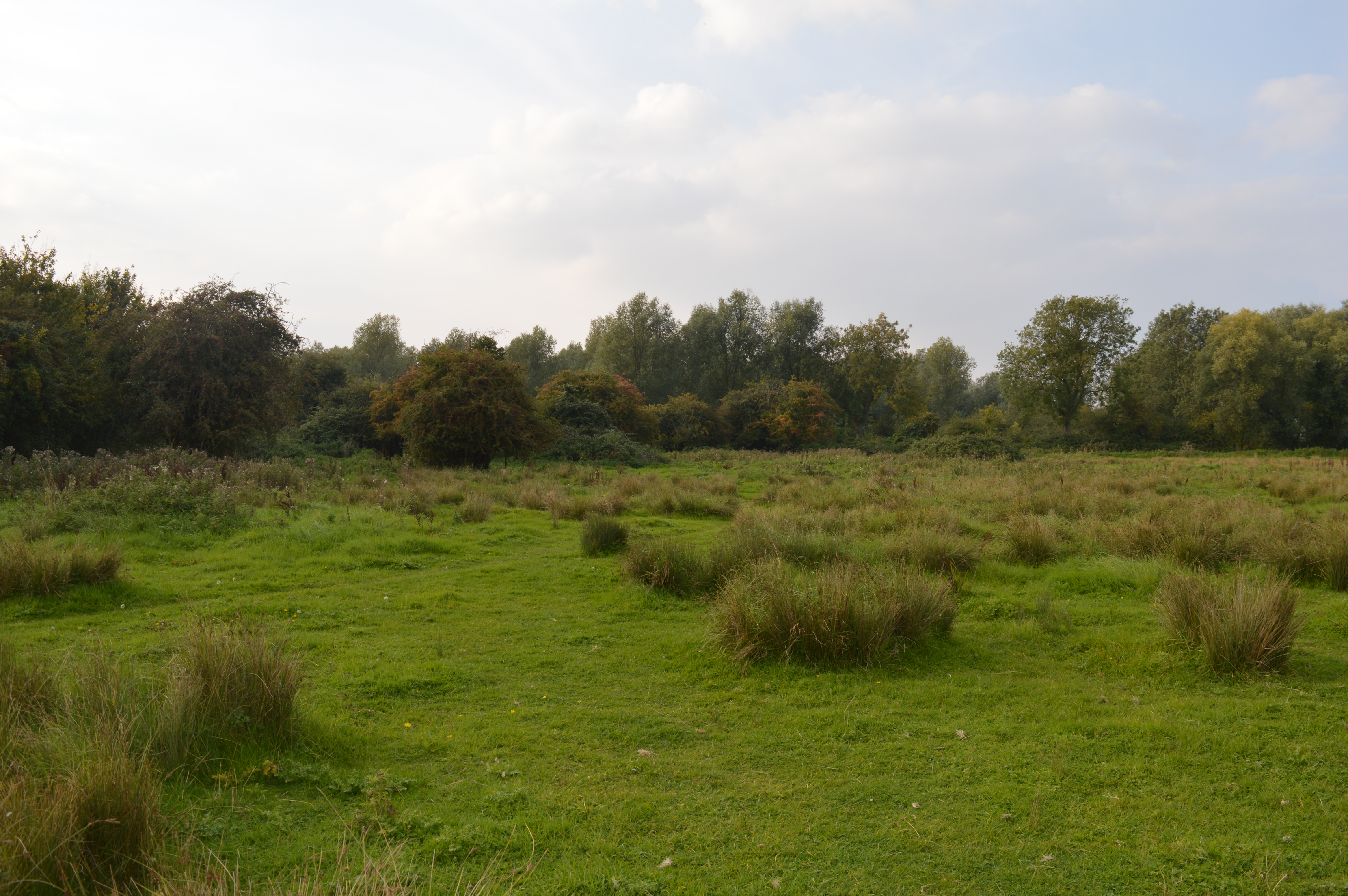
Henlow Common and Langford Meadows
Henlow Common and Langford Meadows is a 18.4-hectare (45-acre) Local Nature Reserve on the west side of the River Ivel in Langford. It is owned and managed...
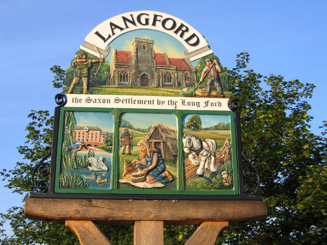
Langford, Bedfordshire
Langford is a village and civil parish in the Central Bedfordshire district of the county of Bedfordshire, England about 10 miles (16 km) south-east of...

Church of St Andrew, Langford, Bedfordshire
Church of St Andrew is a Grade I listed church in Langford, Bedfordshire, England. It became a listed building on 31 October 1966.The three bells, the...

Langford F.C.
Langford Football Club is a football club based in Langford, Bedfordshire, England. Affiliated to the Bedfordshire Football Association, they are currently...
Nearby Amenities
Located within 500m of 52.049209,-0.260573Have you been to Langford?
Leave your review of Langford below (or comments, questions and feedback).