Langenhoe

Civil Parish in Essex Colchester

England

Langenhoe

Dereliction on the Mersea Rd The house in the background located on  the B1025 has been empty since at least the mid 1960’s. The signpost indicates why TM01 is going to be difficult to complete, several square kilometres are covered by the  Fingringhoe army ranges that are closed to the public.
Dereliction on the Mersea Rd Credit: Glyn Baker

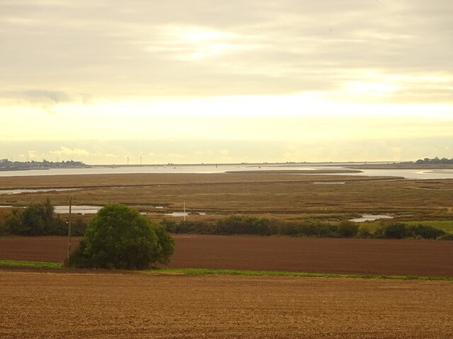
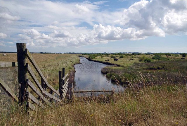
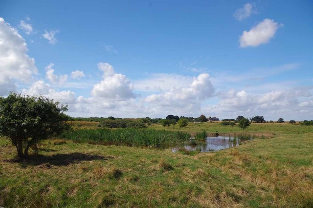
Langenhoe is a civil parish located in the county of Essex, England. Situated approximately four miles southeast of the town of Colchester, Langenhoe covers an area of about 8.5 square kilometers. The parish is bordered by the River Colne to the north and the River Blackwater to the south, providing picturesque views and a tranquil environment.

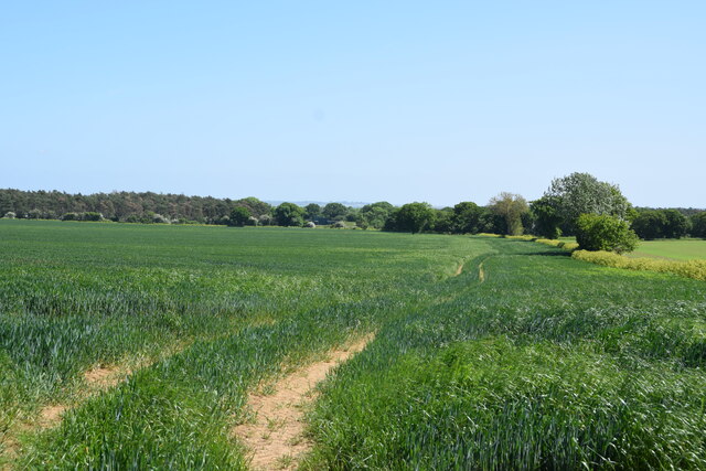
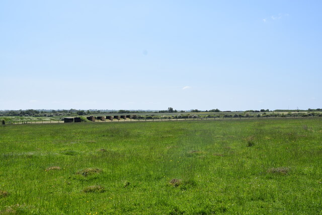
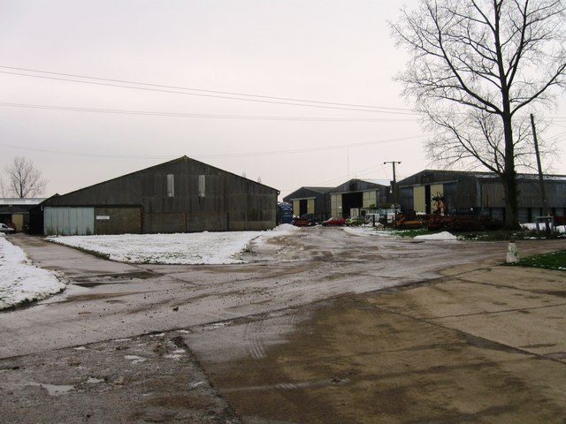
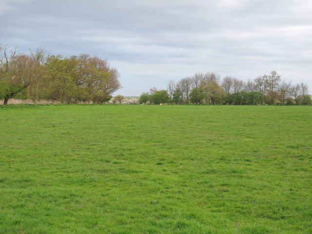
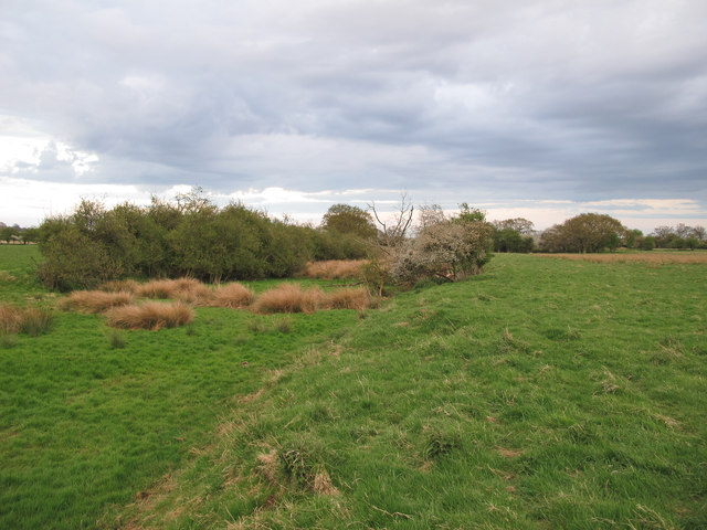
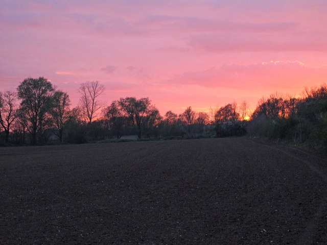
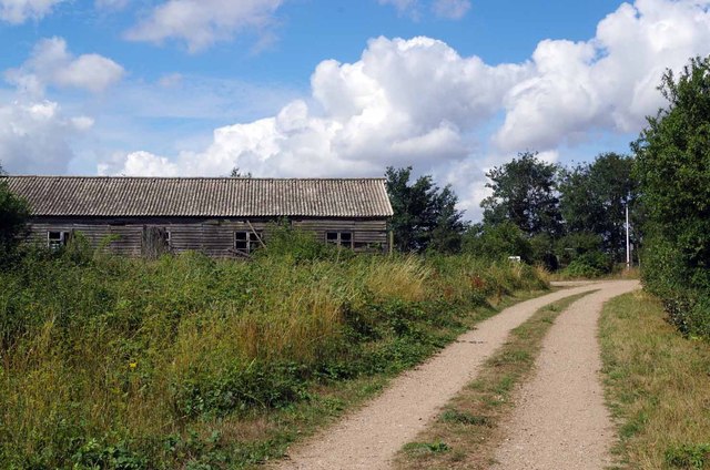
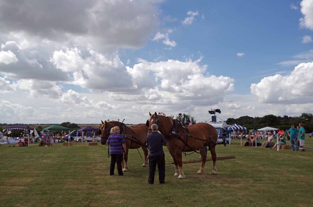
The population of Langenhoe is relatively small, with around 500 residents as of the latest census. The area is predominantly rural, characterized by open fields, farmland, and a scattering of residential properties. The parish is known for its agricultural heritage, with farming playing a significant role in the local economy.

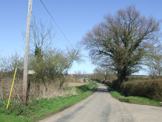
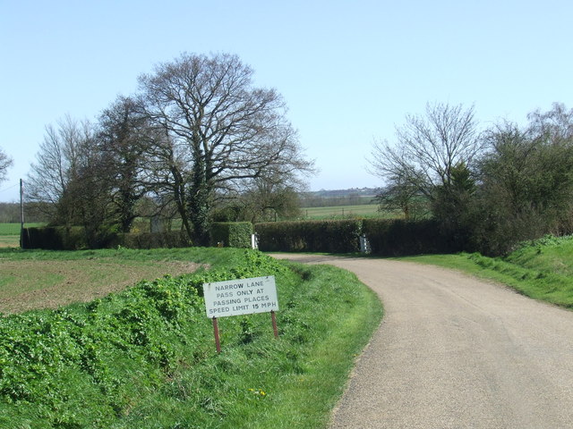
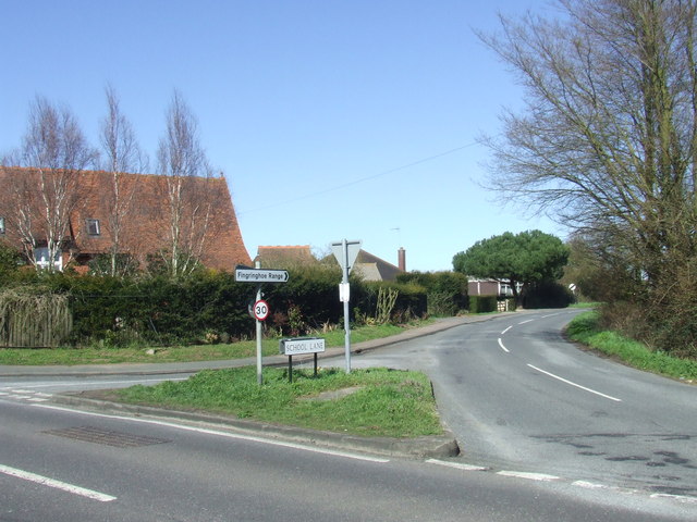
Despite its rural setting, Langenhoe is well-connected to neighboring towns and cities. The A133 road passes through the parish, providing easy access to Colchester and other major urban centers. The parish is also served by several bus routes, offering convenient transportation options for residents.

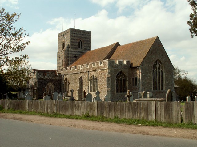
Langenhoe is home to St. Mary's Church, a historic landmark dating back to the 12th century. The church is renowned for its medieval architecture and holds regular services, as well as hosting occasional community events. The parish also boasts a village hall, which serves as a venue for various social gatherings and activities.

Overall, Langenhoe offers a peaceful and picturesque setting, ideal for those seeking a rural lifestyle while still being within easy reach of nearby amenities and transport links.

If you have any feedback on the listing, please let us know in the comments section below.

Langenhoe Images

Images are sourced within 2km of 51.817919/0.933337 or Grid Reference TM0217. Thanks to Geograph Open Source API. All images are credited.

Dereliction on the Mersea Rd The house in the background located on  the B1025 has been empty since at least the mid 1960’s. The signpost indicates why TM01 is going to be difficult to complete, several square kilometres are covered by the  Fingringhoe army ranges that are closed to the public.
Dereliction on the Mersea Rd
The house in the background located on the B1025 has been empty since at least the mid 1960’s. The signpost indicates why TM01 is going to be difficult to complete, several square kilometres are covered by the Fingringhoe army ranges that are closed to the public.
Fingringhoe marsh & ranges
Cereal crop A short distance south of Tudhoe Farm.
Cereal crop
A short distance south of Tudhoe Farm.
Sheep pasture on Fingrinhoe Ranges I am on the public footpath which skirts the norther edge of the military firing ranges. The path can only be walked when the red flags are not flying. Just in front of me is a large field mushroom.
Sheep pasture on Fingrinhoe Ranges
I am on the public footpath which skirts the norther edge of the military firing ranges. The path can only be walked when the red flags are not flying. Just in front of me is a large field mushroom.
Fingrinhoe Ranges Some of the training infrastructure on this military rifle range. Taken just south of South House Farm, from the public footpath which skirts part of the northern edge of the ranges. The footpath can only be walked when the red flags are not flying.
Fingrinhoe Ranges
Some of the training infrastructure on this military rifle range. Taken just south of South House Farm, from the public footpath which skirts part of the northern edge of the ranges. The footpath can only be walked when the red flags are not flying.
Farm buildings, Langenhoe
South Green Road near Fingringhoe, Essex South Green Road is a quiet lane in a rural part of Essex.
South Green Road near Fingringhoe, Essex
South Green Road is a quiet lane in a rural part of Essex.
Lodge Lane near Abberton, Essex The non-standard sign and speed limit suggest that this may be a private road.
Lodge Lane near Abberton, Essex
The non-standard sign and speed limit suggest that this may be a private road.
Road junction near Abberton A road junction near the village of Abberton in Essex.
Road junction near Abberton
A road junction near the village of Abberton in Essex.
School Lane near Abberton, Essex
Fingringhoe Ranges A public footpath leads through the military practice ranges - only accessible when the red flag is not flying.
Fingringhoe Ranges
A public footpath leads through the military practice ranges - only accessible when the red flag is not flying.
Silted ditch between fields, Fingringhoe Ranges A silted up ditch close to a footpath near Fingringhoe Ranges, accessible only when the red flag is not flying.
Silted ditch between fields, Fingringhoe Ranges
A silted up ditch close to a footpath near Fingringhoe Ranges, accessible only when the red flag is not flying.
Red sky over arable land View over arable field, near South House Farm, just before sunset.
Red sky over arable land
View over arable field, near South House Farm, just before sunset.
Dike on Fingringhoe Range For one day a year (the first Sunday of August) the guns of Fingringhoe Ranges fall silent for 
<a href="https://www.geograph.org.uk/photo/3585348">TM0218 : The Five Parishes Show</a> (Peldon, Abberton, Gt Wigborough, Langenhoe & Little Wigborough). The general public are allowed access to the Ranges, there is no prohibition against walking around on the formal paths. Straying from these could prove very unpleasant due to unexploded ordnance.
Dike on Fingringhoe Range
For one day a year (the first Sunday of August) the guns of Fingringhoe Ranges fall silent for TM0218 : The Five Parishes Show (Peldon, Abberton, Gt Wigborough, Langenhoe & Little Wigborough). The general public are allowed access to the Ranges, there is no prohibition against walking around on the formal paths. Straying from these could prove very unpleasant due to unexploded ordnance.
Path & Old Hut on Fingringhoe Range For one day a year (the first Sunday of August) the guns of Fingringhoe Ranges fall silent for 
<a href="https://www.geograph.org.uk/photo/3585348">TM0218 : The Five Parishes Show</a> (Peldon, Abberton, Gt Wigborough, Langenhoe & Little Wigborough). The general public are allowed access to the Ranges, there is no prohibition against walking around on the formal paths. Straying from these could prove very unpleasant due to unexploded ordnance.
Path & Old Hut on Fingringhoe Range
For one day a year (the first Sunday of August) the guns of Fingringhoe Ranges fall silent for TM0218 : The Five Parishes Show (Peldon, Abberton, Gt Wigborough, Langenhoe & Little Wigborough). The general public are allowed access to the Ranges, there is no prohibition against walking around on the formal paths. Straying from these could prove very unpleasant due to unexploded ordnance.
Pond on Fingeringhoe Range Taken during <a href="https://www.geograph.org.uk/photo/3585348">TM0218 : The Five Parishes Show</a>
Pond on Fingeringhoe Range
The Five Parishes Show Each Year for the past 81 years the Five Parishes Horticultural Society has put on a country show. For many years it has been held on the <a href="https://www.geograph.org.uk/photo/3585351">TM0218 : Fingringhoe Ranges</a> by permission of the Commander Defence Training Estate East. The Five Parishes are Abberton, Little Wigborough, Peldon, Great Wigborough & Langenhoe. This is the main arena with Suffolk Punches giving a display. Suffolk Punches are on the Rare Breeds Survival Trust's <span class="nowrap"><a title="https://www.rbst.org.uk/" rel="nofollow ugc noopener" href="https://www.rbst.org.uk/">Link</a><img style="margin-left:2px;" alt="External link" title="External link - shift click to open in new window" src="https://s1.geograph.org.uk/img/external.png" width="10" height="10"/></span> critically endangered list there less than fifty breeding mares and only a hand full of stallions left in the U.K <span class="nowrap"><a title="http://www.suffolkpunchtrust.org/" rel="nofollow ugc noopener" href="http://www.suffolkpunchtrust.org/">Link</a><img style="margin-left:2px;" alt="External link" title="External link - shift click to open in new window" src="https://s1.geograph.org.uk/img/external.png" width="10" height="10"/></span>
The Five Parishes Show
Each Year for the past 81 years the Five Parishes Horticultural Society has put on a country show. For many years it has been held on the TM0218 : Fingringhoe Ranges by permission of the Commander Defence Training Estate East. The Five Parishes are Abberton, Little Wigborough, Peldon, Great Wigborough & Langenhoe. This is the main arena with Suffolk Punches giving a display. Suffolk Punches are on the Rare Breeds Survival Trust's LinkExternal link critically endangered list there less than fifty breeding mares and only a hand full of stallions left in the U.K LinkExternal link
Fingringhoe Ranges Part of the training infrastructure on <a href="https://www.geograph.org.uk/photo/195074">TM0218 : Fingringhoe  Range</a>
Fingringhoe Ranges
Part of the training infrastructure on TM0218 : Fingringhoe Range
Show me another place!

Langenhoe is located at Grid Ref: TM0217 (Lat: 51.817919, Lng: 0.933337)

Administrative County: Essex

District: Colchester

Police Authority: Essex

What 3 Words

///questions.compound.decently. Near Rowhedge, Essex

Nearby Locations

Langenhoe

Related Wikis

Langenhoe

Langenhoe is a village in the City of Colchester district of Essex, England, located south of Colchester. According to the 2001 census it had a population...

Ray Island

Ray Island, also known as the Ray, is a 40.5-hectare (100-acre) nature reserve west of Mersea Island in Essex. It is owned by the National Trust, who bought...

Abberton, Essex

Abberton is a village in the City of Colchester district of Essex, England. It is located approximately 0.62 mi (1.00 km) east of Abberton Reservoir and...

1884 Colchester earthquake

The Colchester earthquake, also known as the Great English earthquake, occurred on the morning of 22 April 1884 at 09:18. It caused considerable damage...

Mersea Island

Mersea Island is an island in Essex, England, in the Blackwater and Colne estuaries to the south-east of Colchester. Its name comes from the Old English...

Barrow Hill, Essex

Barrow Hill is a hamlet in Essex, England. It is located on Mersea Island, approximately 2 km (1.2 mi) north-northeast of West Mersea near to where the...
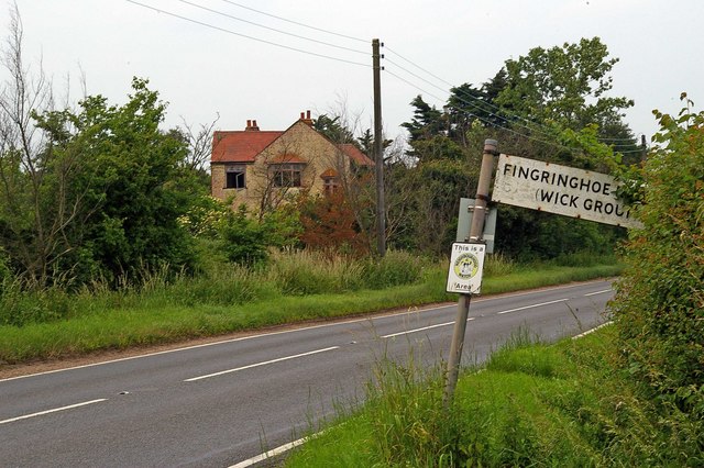
Fingringhoe

Fingringhoe is a village and civil parish in the City of Colchester district of Essex, England. The centre of the village is classified as a conservation...

Fingringhoe Wick

Fingringhoe Wick is a 48.6-hectare (120-acre) nature reserve in Fingringhoe in Essex. It is managed by the Essex Wildlife Trust, which runs a visitor centre...

Related Videos

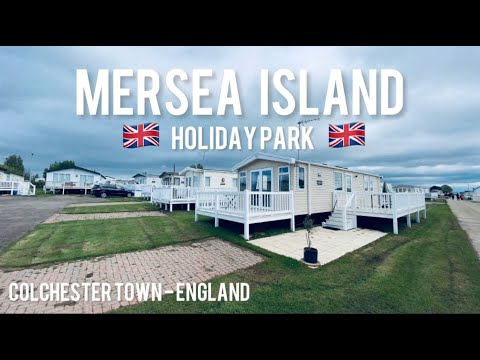
MERSEA ISLAND HOLIDAY PARK | Colchester, England | Carvan Gateaway | UK 🇬🇧 Tour | Oyster Picking

About Mersea Island Holiday Park , Mersea Island, Colchester Enviably situated very close to the beach, Mersea Island Holiday ...

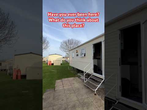
Coopers Beach Holiday Park Mersey Island Essex. Sneak peek around

When you really want to get away from it all, Coopers Beach Holiday Park on Mersea Island is the place to visit. As soon as you ...

Seaview Holiday Park Mersea Island Essex

Drone promotional video of Seaview Holiday Park on Mersea Island in Essex. https://seaviewholiday.co.uk/

Have you been to Langenhoe?

Leave your review of Langenhoe below (or comments, questions and feedback).