Kepwick

Civil Parish in Yorkshire Hambleton

England

Kepwick

Cottages, Over Silton
Cottages, Over Silton Credit: Paul Buckingham

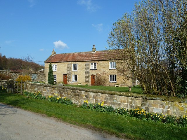
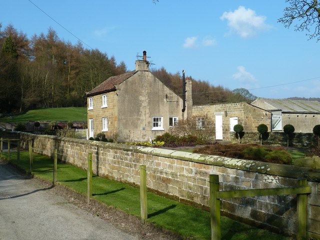
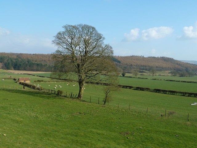
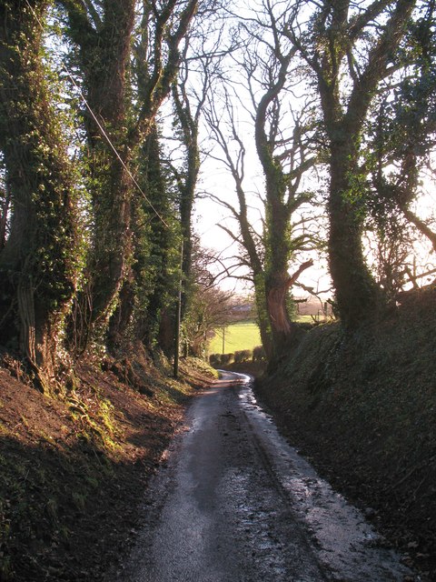
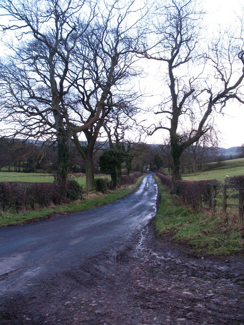
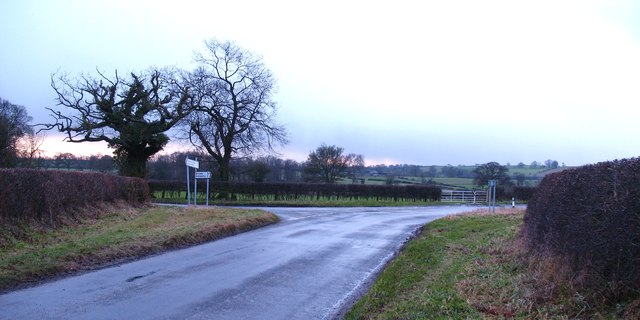
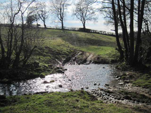
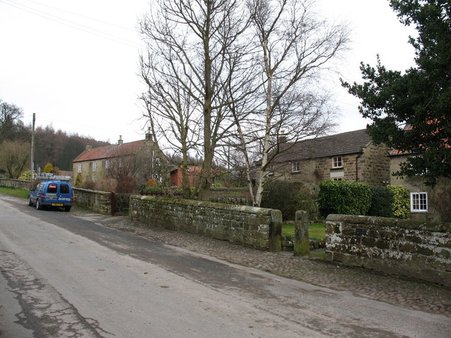
Kepwick is a small civil parish located in North Yorkshire, England. Situated near the town of Thirsk, Kepwick is known for its picturesque countryside and charming rural setting. The parish is primarily made up of agricultural land, with rolling hills and open fields dominating the landscape.

The village of Kepwick itself is small, with a population of around 50 residents. The parish is home to a mix of traditional stone cottages and newer homes, giving it a quaint and timeless feel. The local community is close-knit and friendly, with residents taking pride in their beautiful surroundings.

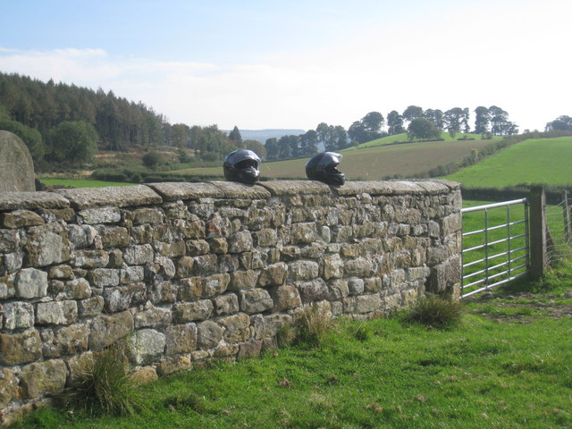
Kepwick is a popular destination for outdoor enthusiasts, with plenty of walking and cycling routes in the surrounding area. The parish is also within easy reach of the North York Moors National Park, offering even more opportunities for outdoor recreation.

Overall, Kepwick is a peaceful and idyllic rural retreat, perfect for those looking to escape the hustle and bustle of city life and enjoy the tranquility of the countryside.

If you have any feedback on the listing, please let us know in the comments section below.
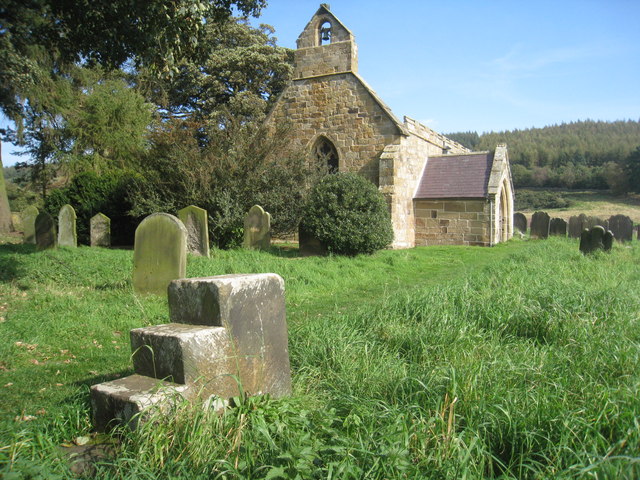
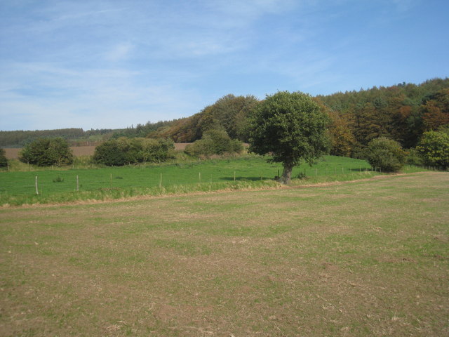
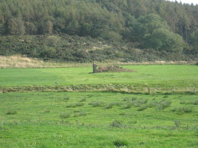
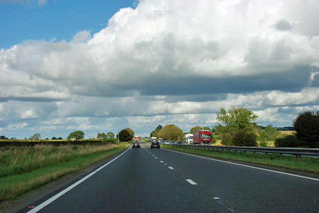
Kepwick Images

Images are sourced within 2km of 54.320301/-1.317781 or Grid Reference SE4491. Thanks to Geograph Open Source API. All images are credited.
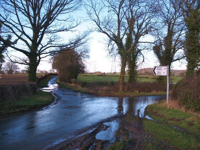
Cottages, Over Silton
Cottage, Over Silton
Fields near Over Silton
Bodiless invaders (or two Geograph-ers on bikes) The churchyard wall at Over Silton.
Bodiless invaders (or two Geograph-ers on bikes)
The churchyard wall at Over Silton.
St. Mary's, Over Silton An essentially Norman church though much modified during the thirteenth and fourteenth centuries. The mounting block shows little sign of use.
St. Mary's, Over Silton
An essentially Norman church though much modified during the thirteenth and fourteenth centuries. The mounting block shows little sign of use.
View from the churchyard Over Silton.
View from the churchyard
Over Silton.
Remains of a field barn Near St. Mary's church.
Remains of a field barn
Near St. Mary's church.
A19 - a long view ahead Was this a Roman road?
A19 - a long view ahead
Was this a Roman road?
A19 northbound A road of long straights and views ahead.
A19 northbound
A road of long straights and views ahead.
A19 - reduce speed now The crossroads is for a minor lane. The way the A19 intersects the lane suggests the A19 came later, and so was probably a turnpike.
A19 - reduce speed now
The crossroads is for a minor lane. The way the A19 intersects the lane suggests the A19 came later, and so was probably a turnpike.
Broken stile near Longlands A broken stile near Longlands. One of many constructions on the Public rights of way network in this area to the west of the national park boundary.
Broken stile near Longlands
A broken stile near Longlands. One of many constructions on the Public rights of way network in this area to the west of the national park boundary.
Road junction near Leake Junction of Cophill Lane with Ewe Leys Lane between Leake and Kepwick.
Road junction near Leake
Junction of Cophill Lane with Ewe Leys Lane between Leake and Kepwick.
The Green, Nether Silton The village green with sandstone built houses at the margin.
The Green, Nether Silton
The village green with sandstone built houses at the margin.
Mill Lane, Nether Silton Surfaced lane and bridleway heading south from the village.
Mill Lane, Nether Silton
Surfaced lane and bridleway heading south from the village.
Flooded lane at Hall Farm Recent heavy rain had made Mill Lane impassable to pedestrians [unless equipped with wellies] at the approach to Hall Farm.
Flooded lane at Hall Farm
Recent heavy rain had made Mill Lane impassable to pedestrians [unless equipped with wellies] at the approach to Hall Farm.
Berghill Lane Looking south along this minor road, the left hand side of which marks the boundary of the North York Moors National Park.
Berghill Lane
Looking south along this minor road, the left hand side of which marks the boundary of the North York Moors National Park.
Leake Lane junction A dank January afternoon in the area between the A19 and the edge of the Hambleton Hills. The lane to the right leads to the A19 dual carriageway.
Leake Lane junction
A dank January afternoon in the area between the A19 and the edge of the Hambleton Hills. The lane to the right leads to the A19 dual carriageway.
A  Sunlit  Bridge  Beck A farmers ford.
A Sunlit Bridge Beck
A farmers ford.
Show me another place!

Kepwick is located at Grid Ref: SE4491 (Lat: 54.320301, Lng: -1.317781)

Division: North Riding

Administrative County: North Yorkshire

District: Hambleton

Police Authority: North Yorkshire

What 3 Words

///exhaled.cutlets.shadowed. Near Northallerton, North Yorkshire

Nearby Locations

Kepwick

Related Wikis

Nether Silton

Nether Silton is a village and civil parish in the Hambleton District of North Yorkshire, England. It lies 6 miles (9.7 km) east of Northallerton, on...

Over Silton

Over Silton is a village and civil parish in the Hambleton district of North Yorkshire, England, about 6 miles (9.7 km) east of Northallerton and on the...

Over Silton Manor

Over Silton Manor is in the middle of the village of Over Silton in North Yorkshire, England. "The village of Over silton, 1994;39" == History == There...

Kirkby Fleetham with Fencote

Kirkby Fleetham with Fencote is a civil parish in the Hambleton District of North Yorkshire, England. At the 2011 census, the population was 560 which...

Nearby Amenities

Located within 500m of 54.320301,-1.317781
Power: tower
Lat/Long: 54.3163288/-1.3185844
Power: tower
Lat/Long: 54.3186393/-1.3192023
Power: tower
Lat/Long: 54.3226113/-1.3202934
Silton Grange
Place: farm
Lat/Long: 54.3184601/-1.3125958
The data included in this document is from www.openstreetmap.org. The data is made available under ODbL.

Have you been to Kepwick?

Leave your review of Kepwick below (or comments, questions and feedback).