Ilam
Civil Parish in Staffordshire Staffordshire Moorlands
England
Ilam

Ilam is a civil parish located in the county of Staffordshire, England. Situated within the Staffordshire Moorlands district, it is nestled in the picturesque landscape of the Peak District National Park. The village of Ilam is renowned for its stunning natural beauty, with rolling hills, lush green meadows, and the peaceful River Manifold flowing through its heart.
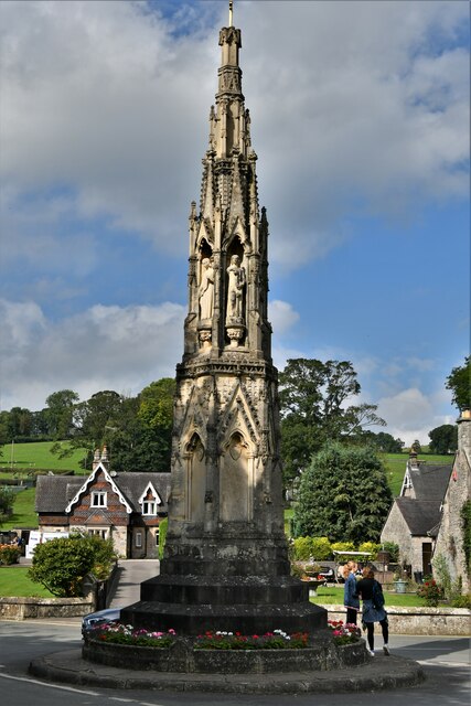
Ilam is home to the famous Ilam Hall, a stunning gothic mansion built in the 1820s. The hall is surrounded by extensive parkland and gardens, which are open to the public and offer breathtaking views of the surrounding area. The village itself is small but charming, with a collection of traditional stone houses, a village green, and a quaint parish church.
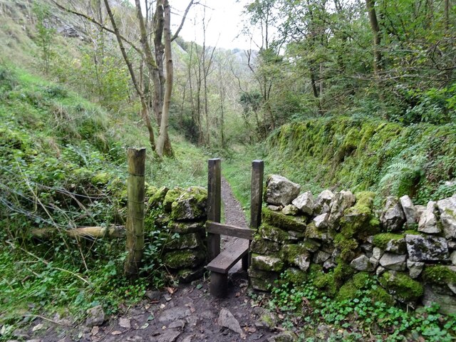
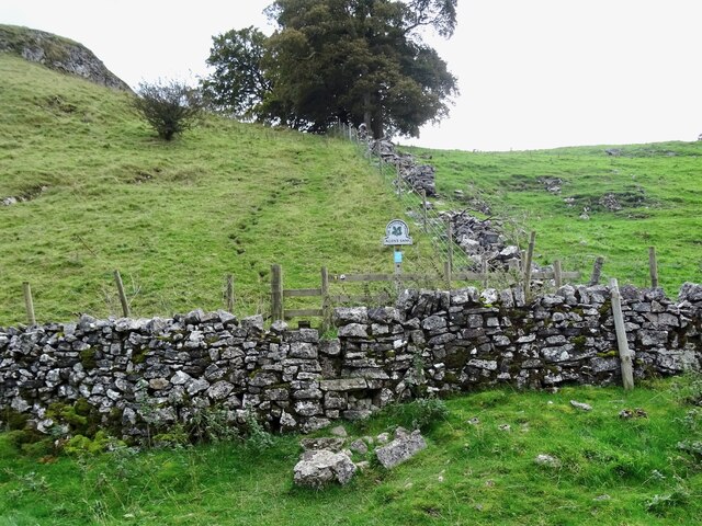
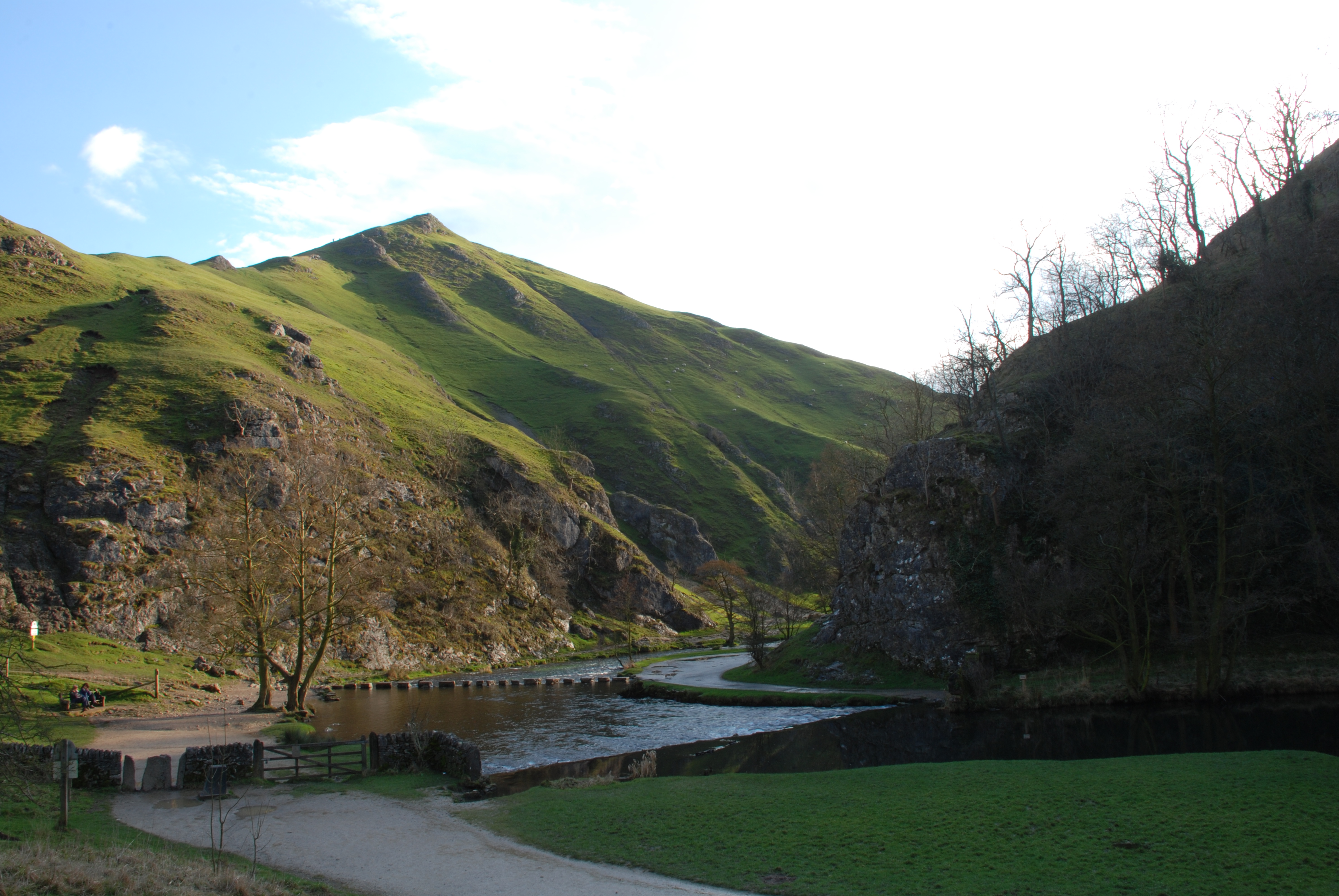
Nature enthusiasts flock to Ilam to explore the diverse wildlife and scenic walking trails in the area. Dovedale, a renowned beauty spot, is located nearby and attracts visitors from far and wide. The stepping-stones across the River Dove are a popular attraction and provide a unique way to cross the water. The area also offers opportunities for cycling, fishing, and rock climbing.
Ilam has a strong sense of community, with a range of local amenities including a village shop, tearoom, and a historic pub. The village hosts various events throughout the year, such as the Ilam Rose Queen Festival and the Ilam Open Gardens, which showcase the beautiful gardens in the village.
Overall, Ilam is a charming and idyllic village that offers a peaceful retreat in the heart of the Staffordshire countryside. Its natural beauty and rich history make it a must-visit destination for nature lovers and history enthusiasts alike.
If you have any feedback on the listing, please let us know in the comments section below.
Ilam Images
Images are sourced within 2km of 53.06805/-1.804893 or Grid Reference SK1352. Thanks to Geograph Open Source API. All images are credited.


Ilam is located at Grid Ref: SK1352 (Lat: 53.06805, Lng: -1.804893)
Administrative County: Staffordshire
District: Staffordshire Moorlands
Police Authority: Staffordshire
What 3 Words
///realm.juices.dairies. Near Ashbourne, Derbyshire
Nearby Locations
Related Wikis

Ilam Park
Ilam Park is a 158-acre (0.64 km2) country park situated in Ilam, on both banks of the River Manifold five miles (8 km) north west of Ashbourne, England...

White Peak Estate
The White Peak Estate (previously known as the South Peak Estate) of the National Trust comprises several land holdings in the Southern Peak District....

Castern Wood
Castern Wood is a nature reserve of the Staffordshire Wildlife Trust. It is an ancient woodland, with scrub and grassland, on the eastern slopes of the...
Long Low, Wetton
Long Low is a Neolithic and Bronze Age site in the English county of Staffordshire. It is about 2 km SE of Wetton (grid reference SK122539).It consists...

Ilam, Staffordshire
Ilam ( ) is a village in the Staffordshire Peak District of England, lying on the River Manifold. The population of the civil parish as taken at the 2011...
Dovedale
Dovedale is a valley in the Peak District of England. The land is owned by the National Trust and attracts a million visitors annually. The valley was...
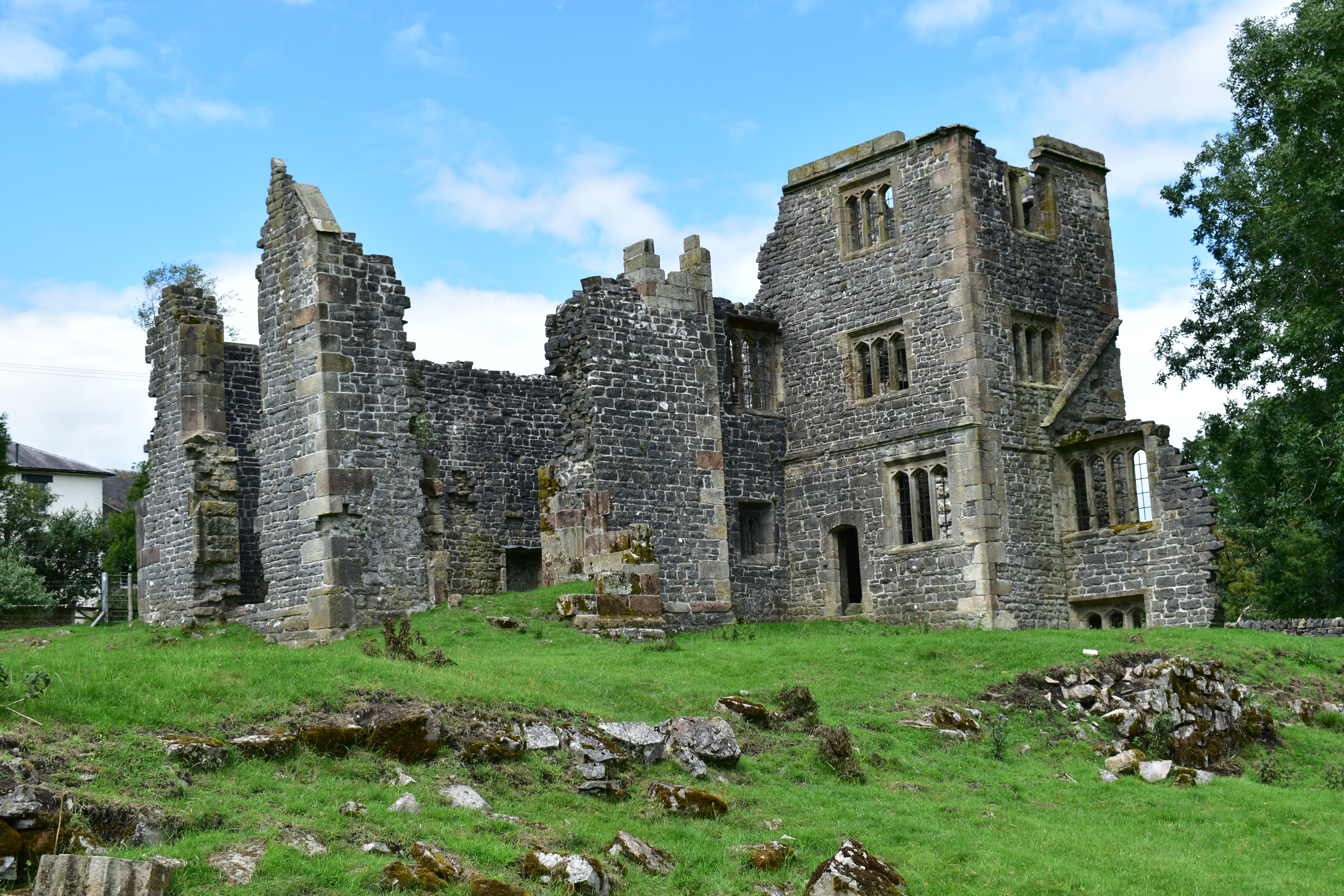
Throwley Old Hall
Throwley Old Hall is a ruined stately home near the village of Calton and adjacent to the River Manifold, in north-east Staffordshire, England. It is a...
Thorpe Cloud
Thorpe Cloud is an isolated limestone hill (a reef knoll) lying between the villages of Thorpe and Ilam on the Derbyshire/Staffordshire border at the southern...
Nearby Amenities
Located within 500m of 53.06805,-1.804893Have you been to Ilam?
Leave your review of Ilam below (or comments, questions and feedback).