Ickford

Civil Parish in Buckinghamshire

England

Ickford

River Thame in flood, 2014 Upstream of Ickford Bridge.
River Thame in flood, 2014 Credit: Robin Webster

The requested URL returned error: 429 Too Many Requests

If you have any feedback on the listing, please let us know in the comments section below.
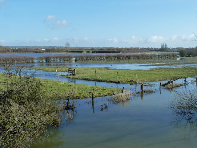
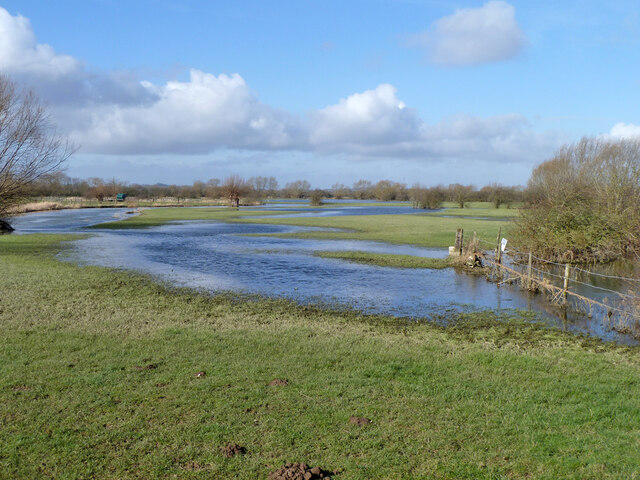
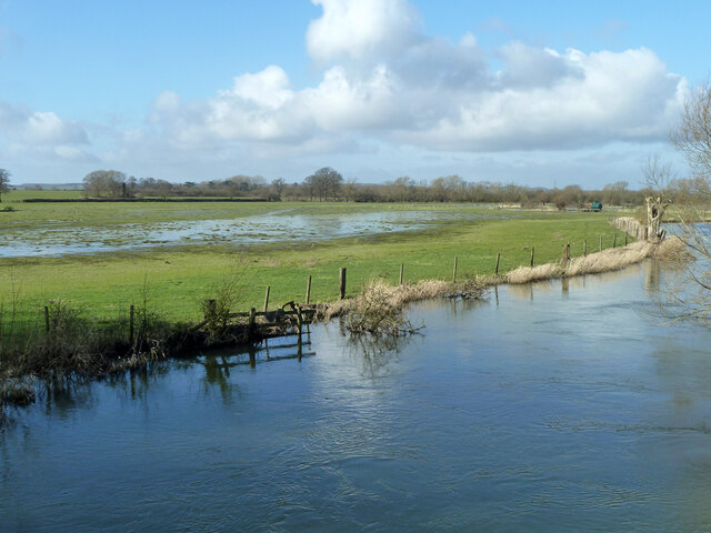
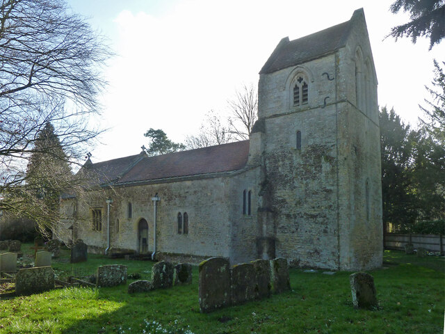
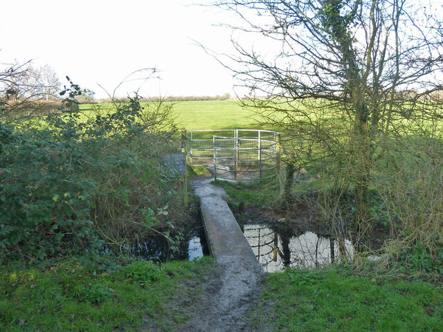
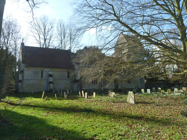
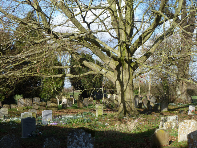
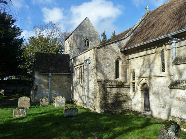
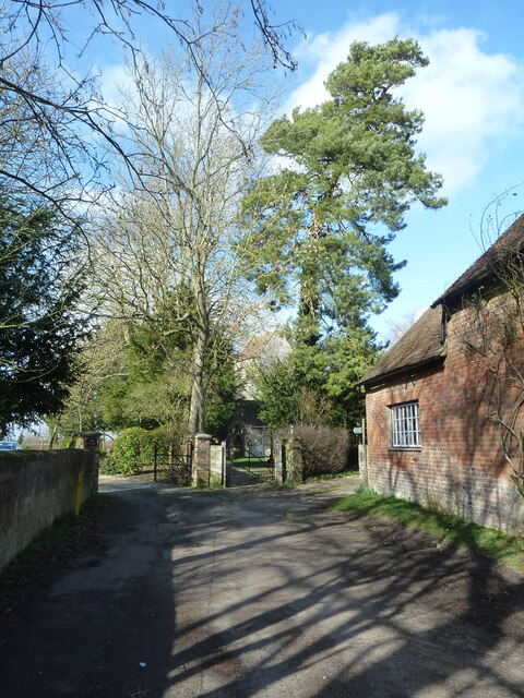
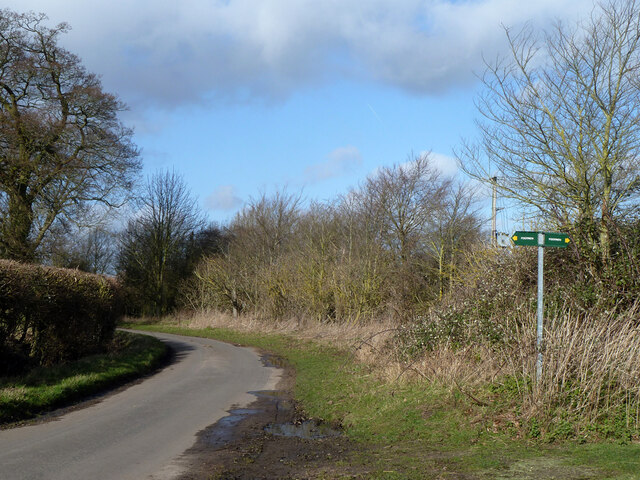
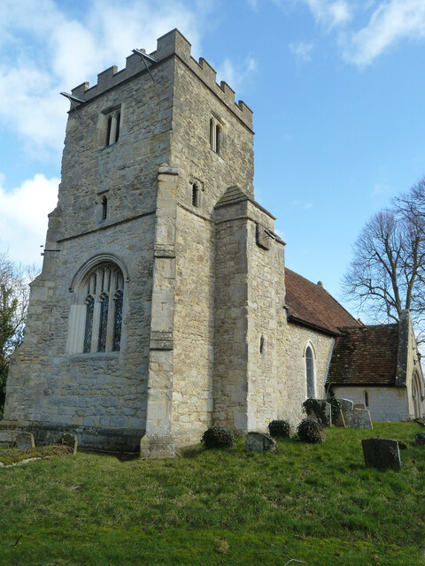
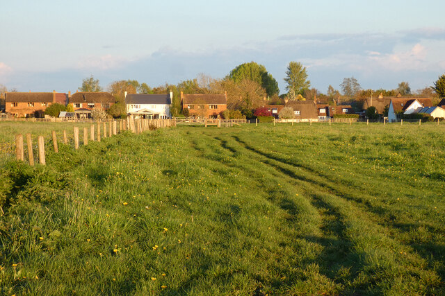
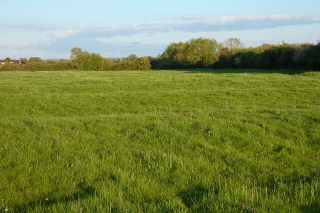
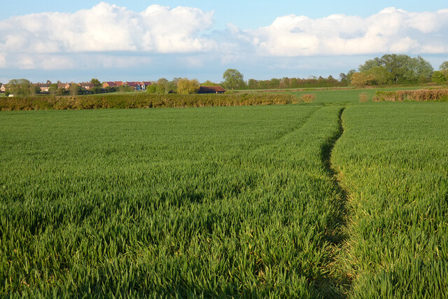
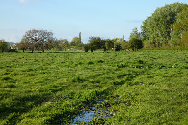
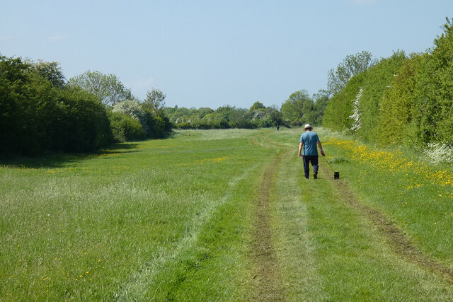
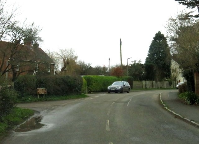
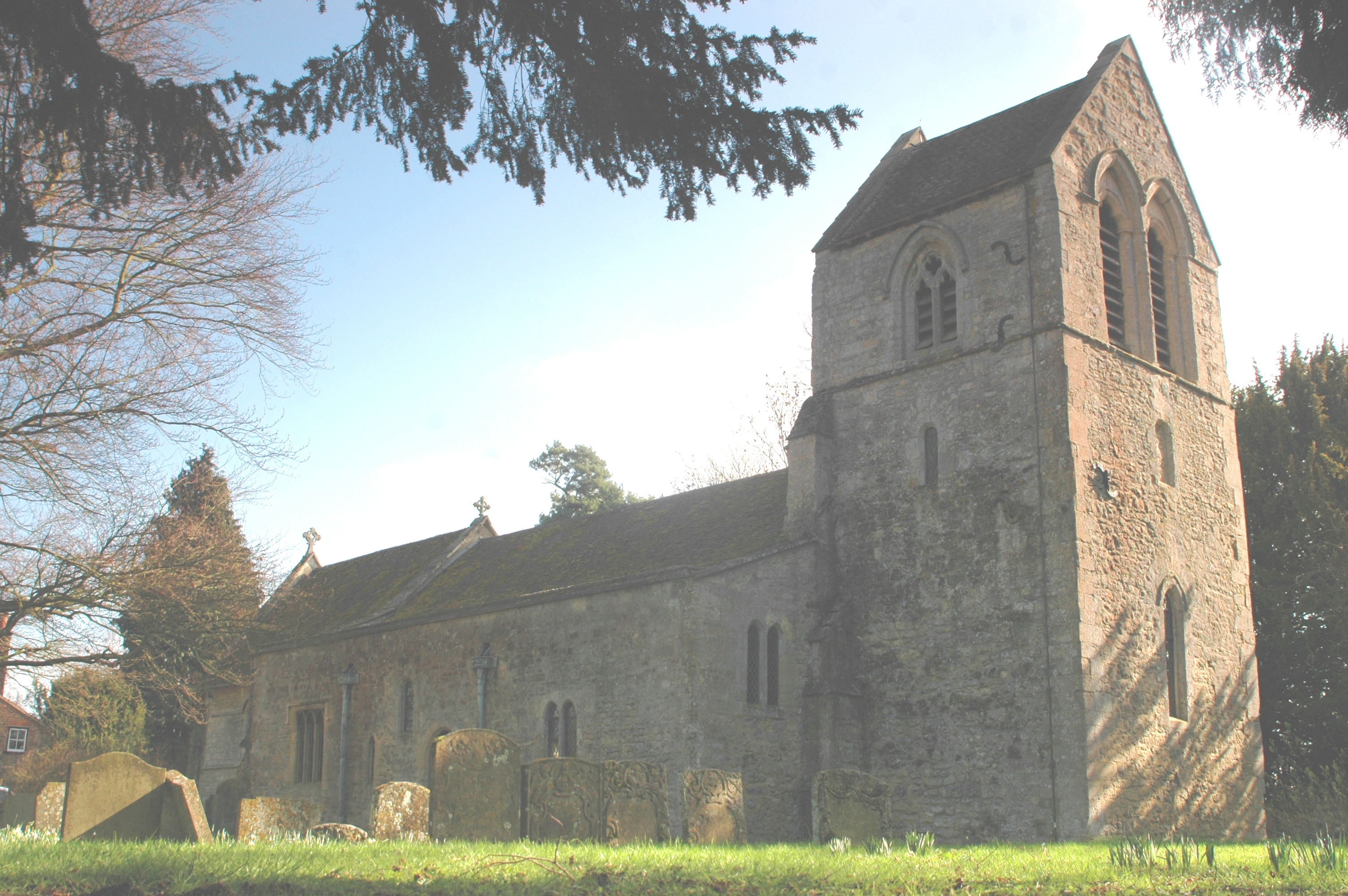
Ickford Images

Images are sourced within 2km of 51.762693/-1.060244 or Grid Reference SP6407. Thanks to Geograph Open Source API. All images are credited.

River Thame in flood, 2014 Upstream of Ickford Bridge.
River Thame in flood, 2014
Upstream of Ickford Bridge.
River Thame in flood, 2014 Downstream of Ickford Bridge.
River Thame in flood, 2014
Downstream of Ickford Bridge.
Flooded fields by River Thame, 2014 Downstream of Ickford Bridge.
Flooded fields by River Thame, 2014
Downstream of Ickford Bridge.
Ickford church - north side St. Nicholas's is a grade I listed building, mostly 13th century.
Ickford church - north side
St. Nicholas's is a grade I listed building, mostly 13th century.
Footbridge and gate leaving Ickford churchyard On a footpath to Worminghall.
Footbridge and gate leaving Ickford churchyard
On a footpath to Worminghall.
Ickford church - north side St. Nicholas's is a grade I listed building, mostly 13th century.
Ickford church - north side
St. Nicholas's is a grade I listed building, mostly 13th century.
Ickford churchyard Snowdrops and crocuses, a bit early for daffodils.
Ickford churchyard
Snowdrops and crocuses, a bit early for daffodils.
Ickford church - south side St. Nicholas's is a grade I listed building, mostly 13th century.
Ickford church - south side
St. Nicholas's is a grade I listed building, mostly 13th century.
End of Church Road and churchyard gate, Ickford
Lane from Tiddington to Waterstock
Worminghall church The church of St Peter and St Paul is a grade II*(star) listed building, originally Norman, but much tinkered with and rebuilt over the years.
Worminghall church
The church of St Peter and St Paul is a grade II*(star) listed building, originally Norman, but much tinkered with and rebuilt over the years.
Pasture, Ickford A footpath from Worminghall approaches the northern end of the village.
Pasture, Ickford
A footpath from Worminghall approaches the northern end of the village.
Pasture, Ickford Ridge and furrow survives in many of the fields around here.  Houses in Shabbington can be seen in the background.
Pasture, Ickford
Ridge and furrow survives in many of the fields around here. Houses in Shabbington can be seen in the background.
Farmland, Shabbington A footpath to the south-west of the village has reached drier arable land, a welcome change from very wet pasture on slightly lower ground to the west.
Farmland, Shabbington
A footpath to the south-west of the village has reached drier arable land, a welcome change from very wet pasture on slightly lower ground to the west.
Pasture, Tiddington Damp grassland on the Thame's floodplain is crossed by a footpath between Waterstock and Ickford.
Pasture, Tiddington
Damp grassland on the Thame's floodplain is crossed by a footpath between Waterstock and Ickford.
Track in pasture, Ickford The bridleway north of Peacehaven Farm makes its way down a very narrow field (or is it just a very wide track?).
Track in pasture, Ickford
The bridleway north of Peacehaven Farm makes its way down a very narrow field (or is it just a very wide track?).
Long Crendon Road into Shabbington
Crendon Road in Shabbington
Show me another place!

Ickford is located at Grid Ref: SP6407 (Lat: 51.762693, Lng: -1.060244)

Unitary Authority: Buckinghamshire

Police Authority: Thames Valley

What 3 Words

///happy.shout.husky. Near Long Crendon, Buckinghamshire

Nearby Locations

Ickford

Related Wikis

Ickford

Ickford is a village and civil parish in the unitary authority area of Buckinghamshire, England. It is on the boundary with Oxfordshire, about 4 miles...

Waterstock

Waterstock is a village and civil parish on the River Thame about 4.5 miles (7 km) west of the market town of Thame in Oxfordshire. The parish is bounded...

Worminghall

Worminghall is a village and civil parish in the Buckinghamshire district of the ceremonial county of Buckinghamshire, England. The village is beside a...

Hundred of Hormer

Hormer was an ancient hundred of Berkshire, England. It consisted of the area immediately west of Oxford within the bend of the River Thames, all of which...

Nearby Amenities

Located within 500m of 51.762693,-1.060244
Post Office
Ickford Post Office
Addr Postcode: HP18 9HY
Brand: Post Office
Brand Wikidata: Q1783168
Ref Pol Id: 484
Source: photograph
Lat/Long: 51.760478/-1.0606476
Community Centre
Ickford Village Hall
Source: photograph;Bing
Lat/Long: 51.7588594/-1.0604812
Ickford Village Stores
Shop: convenience
Source: photograph
Lat/Long: 51.760467/-1.060603
Ickford Village
Source: gps_survey;Bing
Source Name: photograph
Traffic Sign: city_limit
Lat/Long: 51.7599618/-1.054758
Ickford
Place: village
Population: 680
Lat/Long: 51.7614097/-1.0612068
Ickford
Traffic Sign: city_limit
Lat/Long: 51.7649536/-1.0588297
Bus Stop
Ickford, Primary School
Bus: yes
Public Transport: platform
Source: gps_survey;Bing
Source Name: photograph
Lat/Long: 51.760326/-1.059399
Otmoor Electrical Ltd
Shop: electrical
Lat/Long: 51.761753/-1.0619416
Pub
The Rising Sun
Beer Garden: yes
Operator: Adnams
Wikidata: Q26453496
Lat/Long: 51.7632313/-1.0604313
The Royal Oak
Disused: yes
Disused Amenity: pub
Disused Operator: Morrells of Oxford
Lat/Long: 51.760099/-1.0594962
Barrier: stile
Foot: yes
Lat/Long: 51.7589289/-1.0588921
Post Box
Operator: Royal Mail
Operator Type: private
Operator Wikidata: Q638098
Ref: HP18 214
Source: gps_survey;Bing
Lat/Long: 51.7596714/-1.0549186
Bus Stop
Bus: yes
Public Transport: platform
Source: photograph
Lat/Long: 51.7597079/-1.0560736
Barrier: stile
Lat/Long: 51.7597748/-1.054723
Man Made: surveillance
Source: photograph
Surveillance: outdoor
Lat/Long: 51.7604832/-1.0605702
Post Box
Ref: HP18 213
Lat/Long: 51.7604991/-1.0605593
Barrier: stile
Lat/Long: 51.7605357/-1.0543693
Barrier: kissing_gate
Lat/Long: 51.7605688/-1.0545037
Communication Microwave: yes
Man Made: tower
Operator: BT
Tower Type: communication
Lat/Long: 51.7606197/-1.0599681
Leisure: playground
Lat/Long: 51.7612584/-1.0587944
Turning Circle
Lat/Long: 51.7614406/-1.0602972
Barrier: cycle_barrier
Foot: yes
Lat/Long: 51.7618476/-1.0583969
Turning Circle
Lat/Long: 51.7624353/-1.0596891
Post Box
Operator: Royal Mail
Operator Type: private
Operator Wikidata: Q638098
Ref: HP18 212
Source: gps_survey;Bing
Source Ref: photograph
Lat/Long: 51.7628038/-1.0608137
Barrier: cycle_barrier
Foot: yes
Lat/Long: 51.762828/-1.0607953
Bus Stop
Bench: no
Bus: yes
Public Transport: platform
Shelter: no
Lat/Long: 51.7634/-1.060572
Barrier: stile
Foot: yes
Lat/Long: 51.7634049/-1.0606447
Barrier: stile
Source: gps_survey;Bing
Lat/Long: 51.7671585/-1.0605287
Barrier: stile
Wheelchair: no
Lat/Long: 51.7621432/-1.0646078
Barrier: stile
Wheelchair: no
Lat/Long: 51.7622499/-1.06437
Barrier: kissing_gate
Lat/Long: 51.7645113/-1.0629282
Barrier: stile
Lat/Long: 51.7651302/-1.0623158
Barrier: stile
Lat/Long: 51.7655742/-1.0617021
Direction: 195
Generator Method: photovoltaic
Generator Output Electricity: yes
Generator Solar Modules: 8
Generator Source: solar
Generator Type: solar_photovoltaic_panel
Location: roof
Power: generator
Lat/Long: 51.7600059/-1.0555068
Direction: 195
Generator Method: photovoltaic
Generator Output Electricity: yes
Generator Solar Modules: 8
Generator Source: solar
Generator Type: solar_photovoltaic_panel
Location: roof
Power: generator
Lat/Long: 51.7599096/-1.0554768
Direction: 195
Generator Method: photovoltaic
Generator Output Electricity: yes
Generator Solar Modules: 6
Generator Source: solar
Generator Type: solar_photovoltaic_panel
Location: roof
Power: generator
Lat/Long: 51.7603384/-1.058937
Direction: 200
Generator Method: photovoltaic
Generator Output Electricity: yes
Generator Solar Modules: 16
Generator Source: solar
Generator Type: solar_photovoltaic_panel
Location: roof
Power: generator
Lat/Long: 51.759253/-1.059307
Direction: 200
Generator Method: photovoltaic
Generator Output Electricity: yes
Generator Solar Modules: 16
Generator Source: solar
Generator Type: solar_photovoltaic_panel
Location: roof
Power: generator
Lat/Long: 51.7591337/-1.0602972
The data included in this document is from www.openstreetmap.org. The data is made available under ODbL.

Have you been to Ickford?

Leave your review of Ickford below (or comments, questions and feedback).