Brook Street

Settlement in Suffolk Babergh

England

Brook Street

Footpath Signs Footpath signs at the side of the B1066 near to Boxted, Suffolk.
Footpath Signs Credit: Keith Evans

Brook Street is a charming village located in the county of Suffolk, England. Nestled amidst the picturesque countryside, the village is known for its idyllic setting and rich history. With a population of around 400 residents, it offers a peaceful and close-knit community atmosphere.

The village of Brook Street is renowned for its quaint and well-preserved architecture. Traditional thatched-roof cottages and Georgian-style houses line the streets, creating a visually pleasing environment. The village also boasts a beautiful church, St. Peter's Church, which dates back to the 14th century and is a prominent landmark in the area.

Surrounded by rolling green fields and woodlands, Brook Street is a haven for nature lovers. It offers numerous walking and cycling trails that allow visitors to explore the stunning countryside and appreciate the tranquil beauty of the area. The village is also home to a small, but vibrant, local wildlife population, attracting birdwatchers and nature enthusiasts.

Despite its rural location, Brook Street is conveniently located near larger towns and cities. The nearby town of Sudbury offers a range of amenities, including shops, restaurants, and leisure facilities. The village also benefits from good transport connections, with easy access to major road networks.

Overall, Brook Street is a delightful village that offers a peaceful, rural lifestyle surrounded by natural beauty. Its historic charm, friendly community, and convenient location make it an attractive place to live or visit.

If you have any feedback on the listing, please let us know in the comments section below.
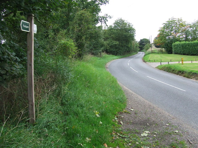
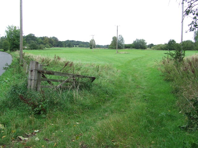
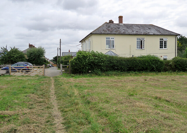
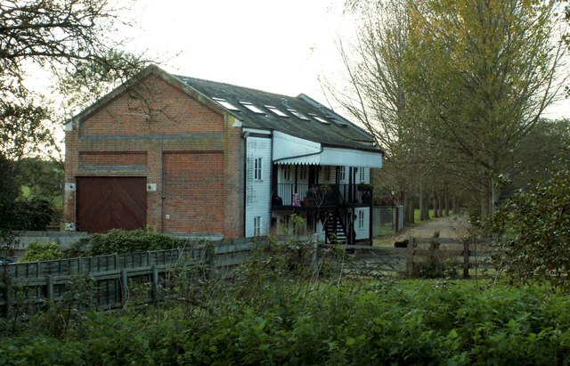
Brook Street Images

Images are sourced within 2km of 52.105253/0.669708 or Grid Reference TL8248. Thanks to Geograph Open Source API. All images are credited.

Footpath Signs Footpath signs at the side of the B1066 near to Boxted, Suffolk.
Footpath Signs
Footpath signs at the side of the B1066 near to Boxted, Suffolk.
Broken Gate Broken gate near to Boxford, Suffolk.
Broken Gate
Broken gate near to Boxford, Suffolk.
All Saints' church Boxted Mostly C15. Inside there are some C16 pews and memorials to the Poley family from Boxted Hall
All Saints' church Boxted
Mostly C15. Inside there are some C16 pews and memorials to the Poley family from Boxted Hall
Boxted Church Dedicated to the Holy Trinity, this interesting church is one of the most visited in Suffolk.
Boxted Church
Dedicated to the Holy Trinity, this interesting church is one of the most visited in Suffolk.
All Saints, Boxted The church of All Saints, Boxted, Suffolk; for more info see <span class="nowrap"><a title="http://www.suffolkchurches.co.uk/boxted.html" rel="nofollow ugc noopener" href="http://www.suffolkchurches.co.uk/boxted.html">Link</a><img style="margin-left:2px;" alt="External link" title="External link - shift click to open in new window" src="https://s1.geograph.org.uk/img/external.png" width="10" height="10"/></span>
All Saints, Boxted
The church of All Saints, Boxted, Suffolk; for more info see LinkExternal link
All Saints Church, Boxted
All Saints Church, Boxted The whole church can just be squeezed into the frame by leaning back against the fence at the edge of the churchyard.
All Saints Church, Boxted
The whole church can just be squeezed into the frame by leaning back against the fence at the edge of the churchyard.
Braggon's Hill, heading towards Boxted The tower of Boxted church can be seen in the distance on the right.
Braggon's Hill, heading towards Boxted
The tower of Boxted church can be seen in the distance on the right.
Boxted All Saints church The open porch with gates rather than doors greet you as you approach the church. On the south-east nave buttress you will find a scratch dial. Inside the church there are two very rare life-size effigies, carved in wood, of William & Alice Poley dated 1579. There is another of Sir John Poley (1638) in the family chapel, carved in alabaster. He is, unusually, depicted in a standing position and wearing an elaborate suit of armour with a helmet at his feet.
Boxted All Saints church
The open porch with gates rather than doors greet you as you approach the church. On the south-east nave buttress you will find a scratch dial. Inside the church there are two very rare life-size effigies, carved in wood, of William & Alice Poley dated 1579. There is another of Sir John Poley (1638) in the family chapel, carved in alabaster. He is, unusually, depicted in a standing position and wearing an elaborate suit of armour with a helmet at his feet.
Memorial window in Boxted All Saints church Hugh Thomas WELLER-POLEY served as a Pilot Officer number 127049 in the Royal Air Force Voluntary Reserve as a Pilot Instructor. He died on 15/09/1942 and is buried at Boxted.
Memorial window in Boxted All Saints church
Hugh Thomas WELLER-POLEY served as a Pilot Officer number 127049 in the Royal Air Force Voluntary Reserve as a Pilot Instructor. He died on 15/09/1942 and is buried at Boxted.
Memorial window in Boxted All Saints church Detail of a Memorial window to Hugh Thomas WELLER-POLEY.
<a title="https://www.geograph.org.uk/photo/5061705" href="https://www.geograph.org.uk/photo/5061705">Link</a>
Memorial window in Boxted All Saints church
Detail of a Memorial window to Hugh Thomas WELLER-POLEY. Link
Sir John Weller-Poley mystery at Boxted church The alabaster monument of John Weller-Poley from a distance has nothing unusual or remarkable about it. But a closer look at his left ear will reveal a golden frog. It has never been fully explained as to why it is there. Numerous stories surround the ear-ring. Some say it is the source of the nursery rhyme 'A frog he would a wooing go'. Another suggests it is an emblem of honour bestowed upon him from France. 
In Boxted Hall a 1567 portrait of Sir John aged 20 also shows him wearing the golden frog ear-ring. On the back of the painting it states that he was knighted for services against the Spaniards when the Duke of Parma besieged Bergem-op-Zoom, but does not explain the wearing of the golden frog ear-ring.
A close-up of the ear-ring can be seen here <a title="https://www.geograph.org.uk/photo/5230507" href="https://www.geograph.org.uk/photo/5230507">Link</a>
Sir John Weller-Poley mystery at Boxted church
The alabaster monument of John Weller-Poley from a distance has nothing unusual or remarkable about it. But a closer look at his left ear will reveal a golden frog. It has never been fully explained as to why it is there. Numerous stories surround the ear-ring. Some say it is the source of the nursery rhyme 'A frog he would a wooing go'. Another suggests it is an emblem of honour bestowed upon him from France. In Boxted Hall a 1567 portrait of Sir John aged 20 also shows him wearing the golden frog ear-ring. On the back of the painting it states that he was knighted for services against the Spaniards when the Duke of Parma besieged Bergem-op-Zoom, but does not explain the wearing of the golden frog ear-ring. A close-up of the ear-ring can be seen here Link
Sir John Weller-Poley's golden frog ear-ring For the full explanation see <a title="https://www.geograph.org.uk/photo/5230503" href="https://www.geograph.org.uk/photo/5230503">Link</a>
Sir John Weller-Poley's golden frog ear-ring
For the full explanation see Link
Farm track west from Braggon's Hill
Country east of Braggon's Hill The land slopes down to the River Glem. The woodland is Bridewell Grove.
Country east of Braggon's Hill
The land slopes down to the River Glem. The woodland is Bridewell Grove.
Glemsford: at the corner of Angel Lane Part of the Grade II listed Angel public house is on the right. The Grade II listing for the house opposite reads "A timber-framed and plastered building refronted in the C18-C19 and altered in the C20. Two storeys. Four-window range, double-hung sashes with vertical glazing bars. The window range at the south end has 3-light windows with narrow side lights. At the north end there is a C20 shop. Roof tiled (old tiles), with a gambrel at the south end."
Glemsford: at the corner of Angel Lane
Part of the Grade II listed Angel public house is on the right. The Grade II listing for the house opposite reads "A timber-framed and plastered building refronted in the C18-C19 and altered in the C20. Two storeys. Four-window range, double-hung sashes with vertical glazing bars. The window range at the south end has 3-light windows with narrow side lights. At the north end there is a C20 shop. Roof tiled (old tiles), with a gambrel at the south end."
Glemsford: nearing New Cut The footpath is part of a dense network at the southern end of this large Suffolk village.
Glemsford: nearing New Cut
The footpath is part of a dense network at the southern end of this large Suffolk village.
Glemsford: a Stour Valley view A view across stubble, with Cavendish church tower showing above the trees in the centre, about a mile and a half away. It would have been good to be here on a brighter August morning.
Glemsford: a Stour Valley view
A view across stubble, with Cavendish church tower showing above the trees in the centre, about a mile and a half away. It would have been good to be here on a brighter August morning.
Show me another place!

Brook Street is located at Grid Ref: TL8248 (Lat: 52.105253, Lng: 0.669708)

Administrative County: Suffolk

District: Babergh

Police Authority: Suffolk

What 3 Words

///character.reheat.rare. Near Glemsford, Suffolk

Related Wikis

Glemsford

Glemsford is a village in the Babergh district in Suffolk, England, near the town of Sudbury. Glemsford is located near the River Glem and the River Stour...

Stanstead, Suffolk

Stanstead is a village and civil parish in Suffolk, England. The name Stanstead comes from the Old English for "Stony place". Located off the B1066, it...

Glemsford railway station

Glemsford railway station was a station that served the village of Glemsford in Suffolk, England. It opened in 1865 on the Stour Valley Railway between...

Glemsford Pits

Glemsford Pits is a 37.5-hectare (93-acre) biological Site of Special Scientific Interest south of Glemsford in Suffolk. The River Stour, which forms the...

Nearby Amenities

Located within 500m of 52.105253,0.669708
Bus Stop
Shelter
Naptan AtcoCode: 390010168
Naptan Bearing: NE
Naptan CommonName: Shelter
Naptan Indicator: o/s
Naptan Landmark: Shelter
Naptan NaptanCode: sufadmgw
Naptan Street: Broadway
Naptan Verified: no
Source: naptan_import
Lat/Long: 52.1035205/0.6688189
Bus Stop
Shelter
Naptan AtcoCode: 390010169
Naptan Bearing: SW
Naptan BusStopType: CUS
Naptan CommonName: Shelter
Naptan Indicator: opp
Naptan Landmark: Shelter
Naptan NaptanCode: sufadmja
Naptan Street: Broadway
Naptan Verified: no
Source: naptan_import
Lat/Long: 52.1034044/0.6687827
Bus Stop
Black Lion
Naptan AtcoCode: 390010170
Naptan Bearing: N
Naptan BusStopType: CUS
Naptan CommonName: Black Lion
Naptan Indicator: adj
Naptan Landmark: Black Lion
Naptan NaptanCode: sufadmjd
Naptan Street: Lion Road
Naptan Verified: no
Source: naptan_import
Lat/Long: 52.1021304/0.6666621
Bus Stop
Black Lion
Naptan AtcoCode: 390010171
Naptan Bearing: SW
Naptan BusStopType: CUS
Naptan CommonName: Black Lion
Naptan Indicator: opp
Naptan Landmark: Black Lion
Naptan NaptanCode: sufadmjg
Naptan Street: Lion Road
Naptan Verified: no
Source: naptan_import
Lat/Long: 52.102144/0.6664585
Bus Stop
Stanway Close
Naptan AtcoCode: 390010736
Naptan Bearing: SE
Naptan BusStopType: CUS
Naptan CommonName: Stanway Close
Naptan Indicator: adj
Naptan Landmark: Stanway Close
Naptan NaptanCode: sufjdmtp
Naptan Street: Bells Lane
Naptan Verified: no
Source: naptan_import
Lat/Long: 52.1029405/0.6741731
Bus Stop
Stanway Close
Naptan AtcoCode: 390010737
Naptan Bearing: NW
Naptan BusStopType: CUS
Naptan CommonName: Stanway Close
Naptan Indicator: opp
Naptan Landmark: Stanway Close
Naptan NaptanCode: sufjdmtw
Naptan Street: Bells Lane
Naptan Verified: no
Source: naptan_import
Lat/Long: 52.1027904/0.6740473
Pub
Black Lion
Addr City: Glemsford
Addr Postcode: CO10 7RF
Addr Street: Lion Road
Lat/Long: 52.1020438/0.6668715
Booth: K6
Covered: booth
Disused Amenity: telephone
Man Made: telephone_box
Lat/Long: 52.103694/0.669153
Defibrillator
Access: yes
Defibrillator Location: on front wall of Spar, facing car park
Emergency: defibrillator
Indoor: no
Ref GB The Circuit: FD751FFB-532A-44C4-9BFC-ADF200D500AE
Lat/Long: 52.1039651/0.6715971
Post Box
Mapillary: 403622762572298
Operator: Royal Mail
Operator Wikidata: Q638098
Post Box Type: pillar
Lat/Long: 52.1033838/0.6688319
Post Office
Lat/Long: 52.1033393/0.6687561
Broadway Stores
Brand: Premier
Brand Wikidata: Q7240340
Mapillary: 403622762572298
Shop: convenience
Lat/Long: 52.1033262/0.6687333
The data included in this document is from www.openstreetmap.org. The data is made available under ODbL.

Have you been to Brook Street?

Leave your review of Brook Street below (or comments, questions and feedback).