Glemsford
Civil Parish in Suffolk Babergh
England
Glemsford

The requested URL returned error: 429 Too Many Requests
If you have any feedback on the listing, please let us know in the comments section below.
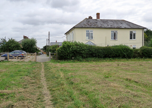
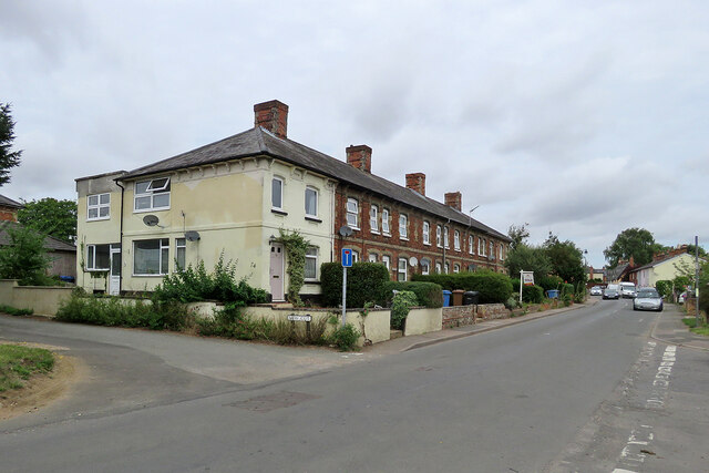
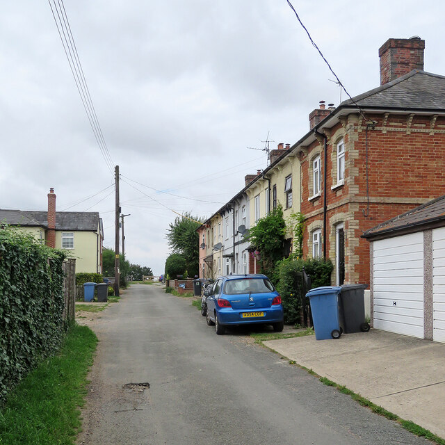
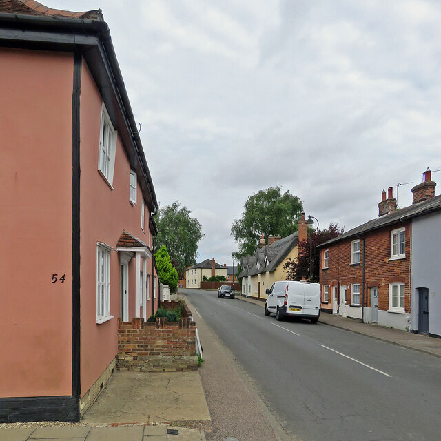
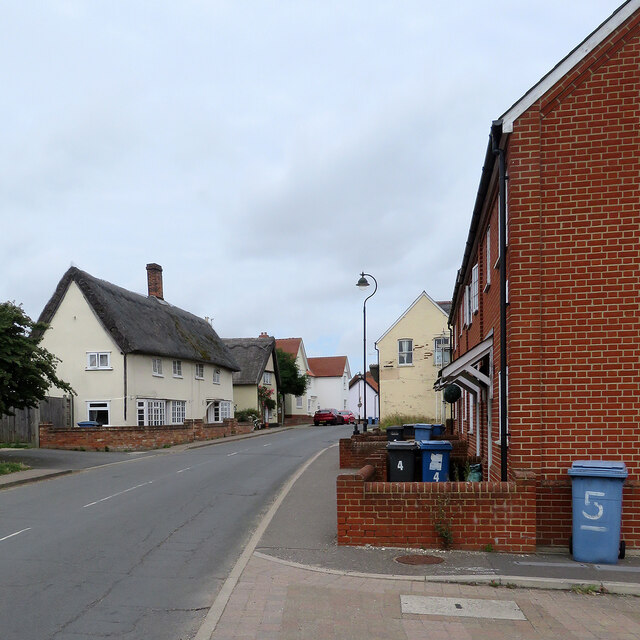
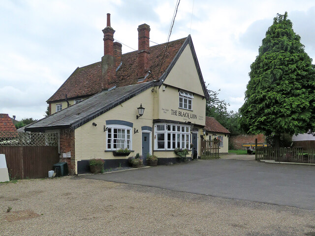
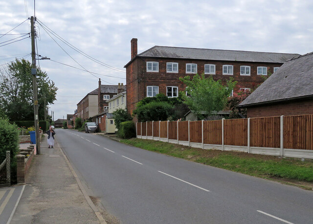
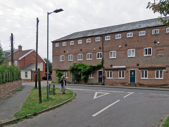
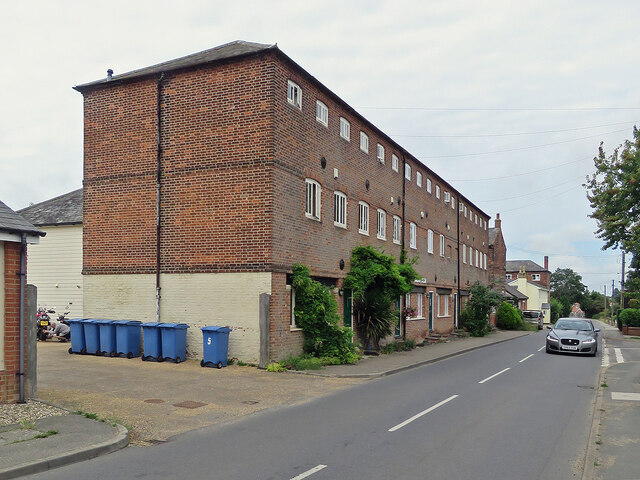
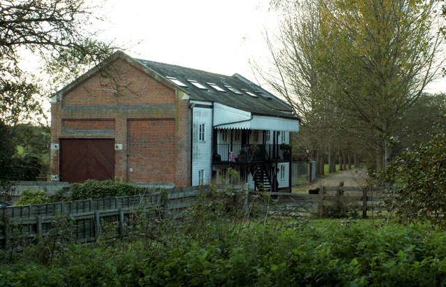
Glemsford Images
Images are sourced within 2km of 52.100376/0.668629 or Grid Reference TL8248. Thanks to Geograph Open Source API. All images are credited.


Glemsford is located at Grid Ref: TL8248 (Lat: 52.100376, Lng: 0.668629)
Administrative County: Suffolk
District: Babergh
Police Authority: Suffolk
What 3 Words
///dabbling.masks.deduct. Near Glemsford, Suffolk
Nearby Locations
Related Wikis

Glemsford
Glemsford is a village in the Babergh district in Suffolk, England, near the town of Sudbury. Glemsford is located near the River Glem and the River Stour...

Stanstead, Suffolk
Stanstead is a village and civil parish in Suffolk, England. The name Stanstead comes from the Old English for "Stony place". Located off the B1066, it...
Glemsford railway station
Glemsford railway station was a station that served the village of Glemsford in Suffolk, England. It opened in 1865 on the Stour Valley Railway between...

Glemsford Pits
Glemsford Pits is a 37.5-hectare (93-acre) biological Site of Special Scientific Interest south of Glemsford in Suffolk. The River Stour, which forms the...
Nearby Amenities
Located within 500m of 52.100376,0.668629Have you been to Glemsford?
Leave your review of Glemsford below (or comments, questions and feedback).