Hucclecote

Civil Parish in Gloucestershire Tewkesbury

England

Hucclecote

The A40, Longlevens Approaching the end of the Gloucester Bypass
The A40, Longlevens Credit: David Howard

Hucclecote is a civil parish located in the county of Gloucestershire, England. Situated just 4 miles east of the city of Gloucester, Hucclecote is a suburban area that offers a mix of residential, commercial, and recreational amenities.

The parish is primarily known for its housing estates, which consist of a range of property types including detached houses, semi-detached houses, and apartments. These estates are well-maintained and provide a comfortable living environment for residents.

Hucclecote benefits from excellent transport links, with easy access to major roads such as the A417 and the M5 motorway. This makes it a popular choice for commuters working in nearby cities such as Bristol and Cheltenham. The area also benefits from regular bus services, connecting residents to neighboring towns and villages.

In terms of amenities, Hucclecote has a variety of local shops, supermarkets, and restaurants, providing residents with convenient access to everyday essentials. There are also several schools in the area, making it an attractive choice for families with young children.

For leisure activities, Hucclecote offers a number of green spaces and parks, providing opportunities for outdoor recreation and relaxation. The nearby Hucclecote Rugby Football Club is a popular attraction for sports enthusiasts.

Overall, Hucclecote is a vibrant and well-connected parish that provides a high quality of life for its residents, with its convenient location, range of amenities, and attractive housing estates.

If you have any feedback on the listing, please let us know in the comments section below.
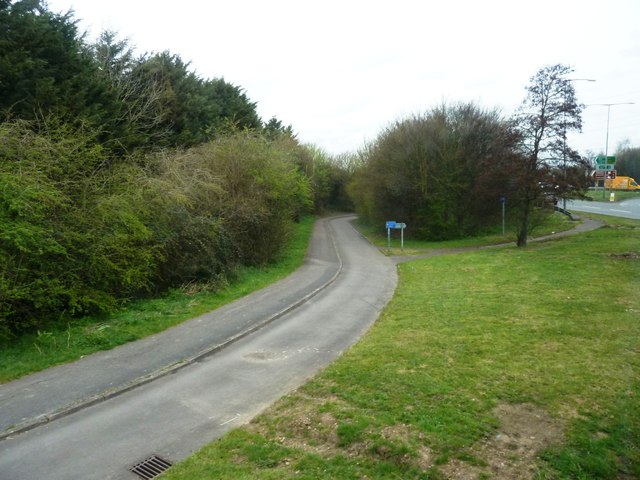
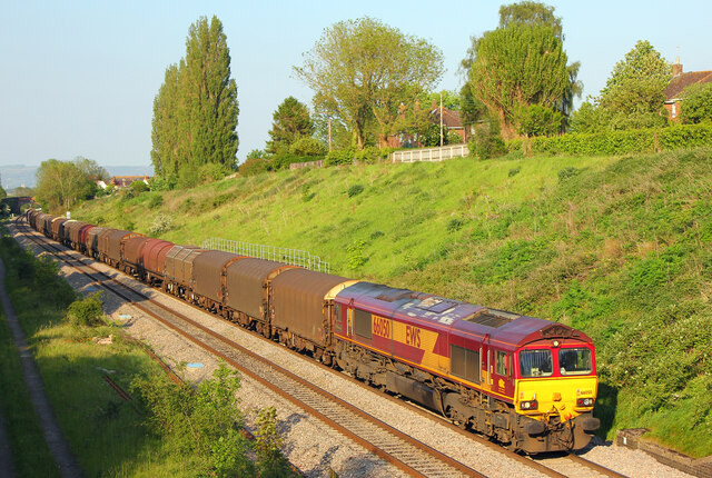
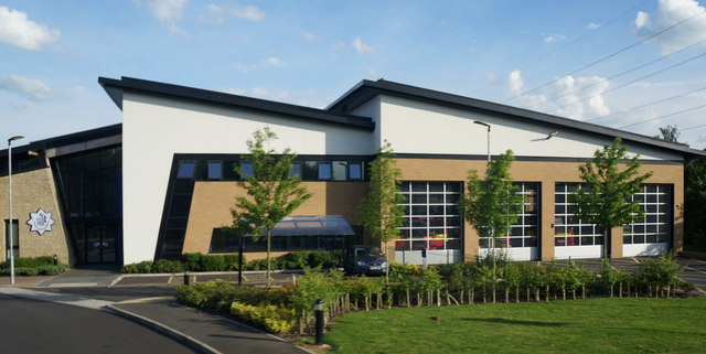
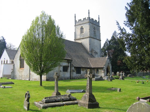
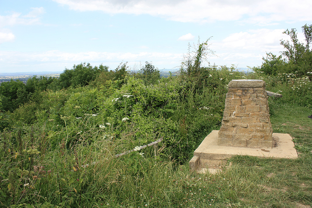
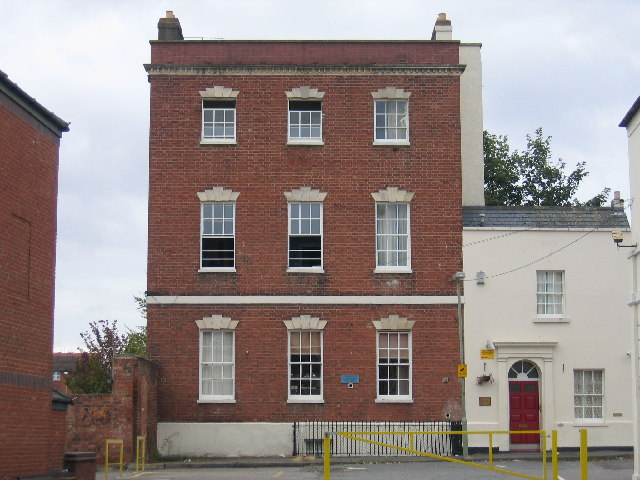
Hucclecote Images

Images are sourced within 2km of 51.866288/-2.189467 or Grid Reference SO8718. Thanks to Geograph Open Source API. All images are credited.

The A40, Longlevens Approaching the end of the Gloucester Bypass
The A40, Longlevens
Approaching the end of the Gloucester Bypass
A40 Gloucester Bypass The second bypass of Gloucester to the north. Gloucester appears to have a rather complex road system.
A40 Gloucester Bypass
The second bypass of Gloucester to the north. Gloucester appears to have a rather complex road system.
Pirton Lane overbridge over A40 The original Pirton Lane has been cut by the A40
Pirton Lane overbridge over A40
The original Pirton Lane has been cut by the A40
Footbridge over A40 in Pirton
Path and cycle track near busy junction Approaching the roundabout at the junction of the B4063 and the A40
Path and cycle track near busy junction
Approaching the roundabout at the junction of the B4063 and the A40
B4063 approaching Gloucester ring road Just north-east of a large roundabout where the A40 from Cheltenham meets the ring road; the skyline is dominated by the pylon; an important link in the electricity grid follows the ring road for some distance
B4063 approaching Gloucester ring road
Just north-east of a large roundabout where the A40 from Cheltenham meets the ring road; the skyline is dominated by the pylon; an important link in the electricity grid follows the ring road for some distance
A40 Gloucester bypass
A40 Gloucester bypass, M5 two miles.
Railway at Churchdown View from the bridge on Pirton Lane.
Railway at Churchdown
View from the bridge on Pirton Lane.
Bus stop Pirton Lane, Churchdown.
Bus stop
Pirton Lane, Churchdown.
A40 westbound at Churchdown
A40 nears Elm Bridge Court roundabout
A40 Dual Carriageway This is the section of the road on the north east side of Gloucester. The roundabout in the distance is where it intersects with the B4063.
A40 Dual Carriageway
This is the section of the road on the north east side of Gloucester. The roundabout in the distance is where it intersects with the B4063.
Gloucestershire Fire Station on the A40
Cycleway near the Elmbridge Court Roundabout. Thoughtfully planned-in cycleways when the modern road development took place.
Cycleway near the Elmbridge Court Roundabout.
Thoughtfully planned-in cycleways when the modern road development took place.
The A40(T) Gloucester to the M5 and Cheltenham Fast and busy routeway linking the city of Gloucester and the equally sized town of Cheltenham. Taken from the bridge at Pirton Court looking ENE towards the M5 and Cheltenham.
The A40(T) Gloucester to the M5 and Cheltenham
Fast and busy routeway linking the city of Gloucester and the equally sized town of Cheltenham. Taken from the bridge at Pirton Court looking ENE towards the M5 and Cheltenham.
A40 - straight ahead for Cheltenham An unusually long straight piece of road shortly after leaving the Elmbridge Court roundabout.
A40 - straight ahead for Cheltenham
An unusually long straight piece of road shortly after leaving the Elmbridge Court roundabout.
A40 - minor road overbridge at Churchdown There is another, almost identical example less than a mile further east. <a title="https://www.geograph.org.uk/photo/2087797" href="https://www.geograph.org.uk/photo/2087797">Link</a>
A40 - minor road overbridge at Churchdown
There is another, almost identical example less than a mile further east. Link
Show me another place!

Hucclecote is located at Grid Ref: SO8718 (Lat: 51.866288, Lng: -2.189467)

Administrative County: Gloucestershire

District: Tewkesbury

Police Authority: Gloucestershire

What 3 Words

///ticket.drum.shape. Near Barnwood, Gloucestershire

Nearby Locations

Hucclecote

Related Wikis

Gloucestershire Parkway railway station

Gloucestershire Parkway railway station is or was a proposed development in transport infrastructure for a semi-greenfield site surrounded by warehouse...

Barnwood

Barnwood is an suburb and former civil parish in the city of Gloucester, in the county of Gloucestershire, England. It lies about 1.8 miles (2.9 km) east...

Heart Gloucestershire

Heart Gloucestershire (formerly Severn Sound) was an Independent Local Radio station owned and operated by Global Radio as part of the Heart network. It...

Hucclecote (parish)

Hucclecote is a civil parish in the Tewkesbury district, in the county of Gloucestershire, England. As of 2019, it has a population of 2,703. The parish...

Chosen Hill, Gloucestershire

Chosen Hill (grid reference SO882187) (or Churchdown Hill) rises above Churchdown in Gloucestershire, England, and is the site of a 11.5-hectare (28-acre...

Barnwood House Hospital

Barnwood House Hospital was a private mental hospital in Barnwood, Gloucester, England. It was founded by the Gloucester Asylum Trust in 1860 as Barnwood...

Sir Thomas Rich's School

Sir Thomas Rich's School is a grammar school with academy status for boys (aged 11–18) and girls (aged 16–18, in the sixth form) in Longlevens, Gloucester...

Longlevens A.F.C.

Longlevens Association Football Club is a football club based in the Longlevens suburb of Gloucester, Gloucestershire, England. They are currently members...

Nearby Amenities

Located within 500m of 51.866288,-2.189467
Traffic Signals
Traffic Signals: signal
Lat/Long: 51.8664897/-2.1960768
Note: A rather polluted-looking drain empties into the Horsbere here
Lat/Long: 51.8624919/-2.1888129
Barrier: kissing_gate
Lat/Long: 51.8626351/-2.1858946
Zoons Court
Addr City: Gloucester
Addr Postcode: GL3 2LT
Historic: manor
Landuse: farmyard
Source: NPE
Lat/Long: 51.8683459/-2.1843723
Power: tower
Source: Bing
Lat/Long: 51.8696339/-2.1932335
Power: tower
Source: Bing
Lat/Long: 51.8636758/-2.1863922
Power: tower
Source: Bing
Lat/Long: 51.8648339/-2.1903673
Power: tower
Source: Bing
Lat/Long: 51.867253/-2.1918294
Traffic Signals
Traffic Signals: signal
Lat/Long: 51.8663887/-2.1962265
Traffic Signals
Traffic Signals: signal
Lat/Long: 51.8653728/-2.1956906
Traffic Signals
Traffic Signals: signal
Lat/Long: 51.8654922/-2.1958075
Post Box
Operator: Royal Mail
Operator Wikidata: Q638098
Lat/Long: 51.8620762/-2.1891587
Power: pole
Lat/Long: 51.8707277/-2.1886993
Power: pole
Lat/Long: 51.8701267/-2.1874799
Power: pole
Lat/Long: 51.8695084/-2.1862096
Power: pole
Lat/Long: 51.8689544/-2.1850911
Zoons Court
Power: pole
Transformer: distribution
Voltage Primary: 11000
Lat/Long: 51.8688608/-2.1843334
The data included in this document is from www.openstreetmap.org. The data is made available under ODbL.

Have you been to Hucclecote?

Leave your review of Hucclecote below (or comments, questions and feedback).