Huby

Civil Parish in Yorkshire Hambleton

England

Huby

Fields east of A19
Fields east of A19 Credit: Alex McGregor

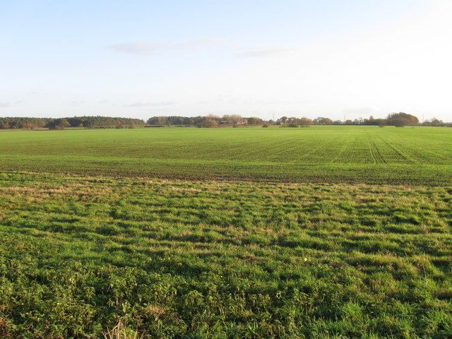
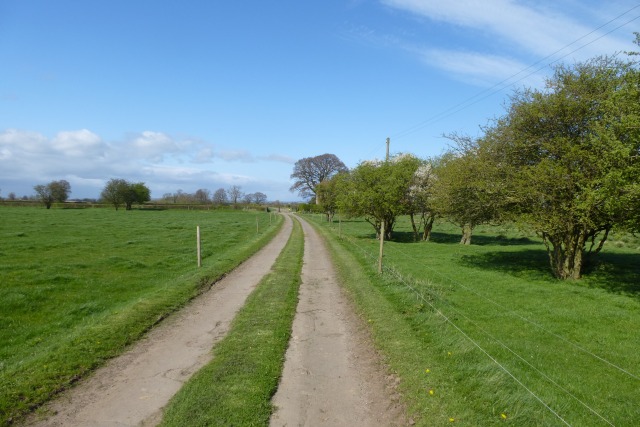
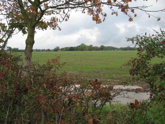
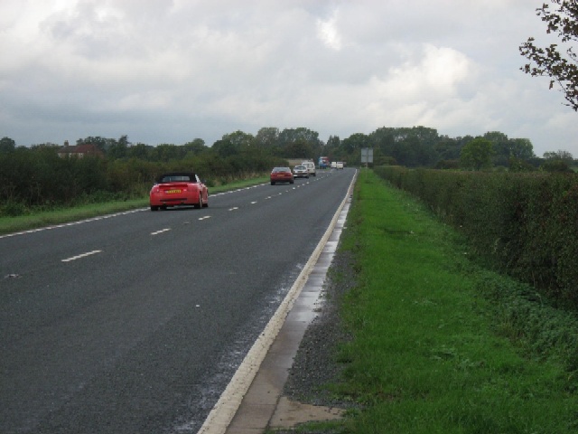
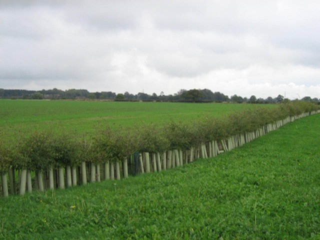
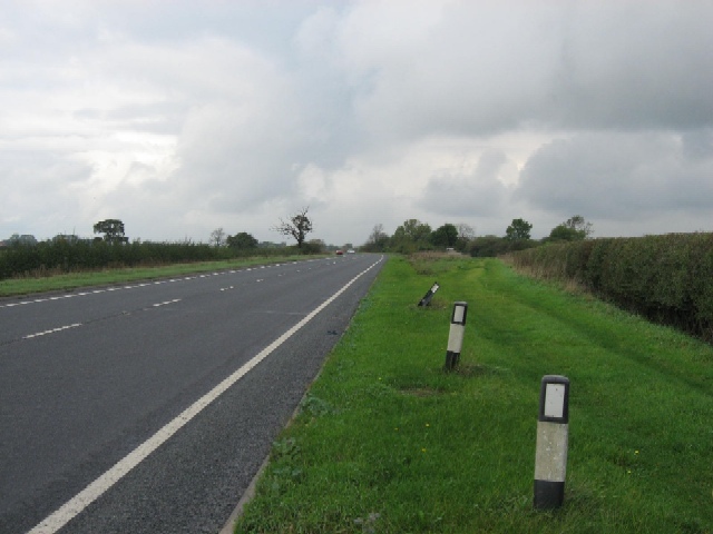
Huby is a civil parish located in the Ryedale district of North Yorkshire, England. It is situated about 13 miles north of York and has a population of around 700 residents. The village is surrounded by picturesque countryside, with rolling hills and farmland being a prominent feature of the area.

Huby has a long history, with evidence of human settlement dating back to Roman times. The village is home to a number of historic buildings, including the Grade II listed St. Michael's Church, which dates back to the 12th century.

The community in Huby is close-knit and friendly, with a range of amenities available to residents. These include a village hall, a primary school, a pub, and a post office. The village also has a strong sense of community spirit, with a number of local events and activities taking place throughout the year.

Overall, Huby is a charming and peaceful village, offering a rural lifestyle within easy reach of larger towns and cities. It is a popular choice for those looking to escape the hustle and bustle of urban life and enjoy the tranquility of the countryside.

If you have any feedback on the listing, please let us know in the comments section below.
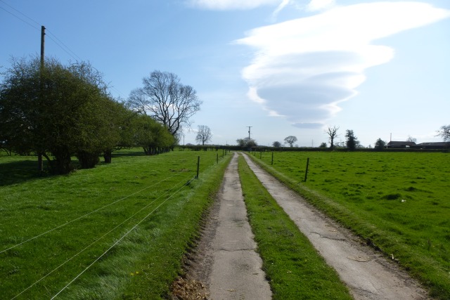
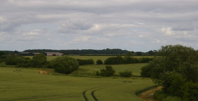
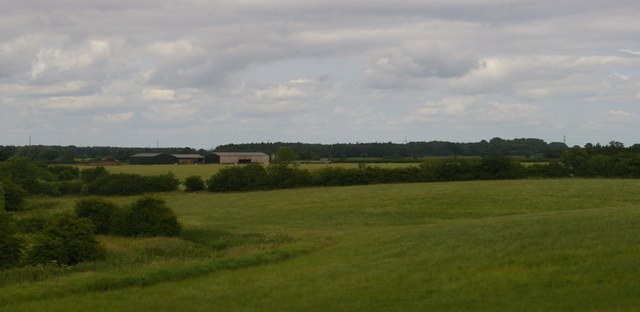
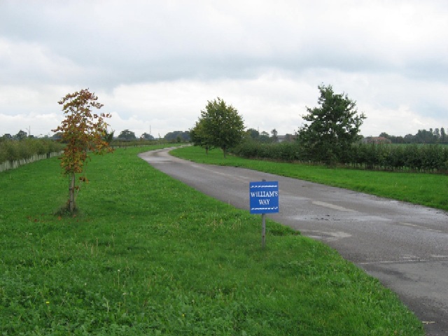
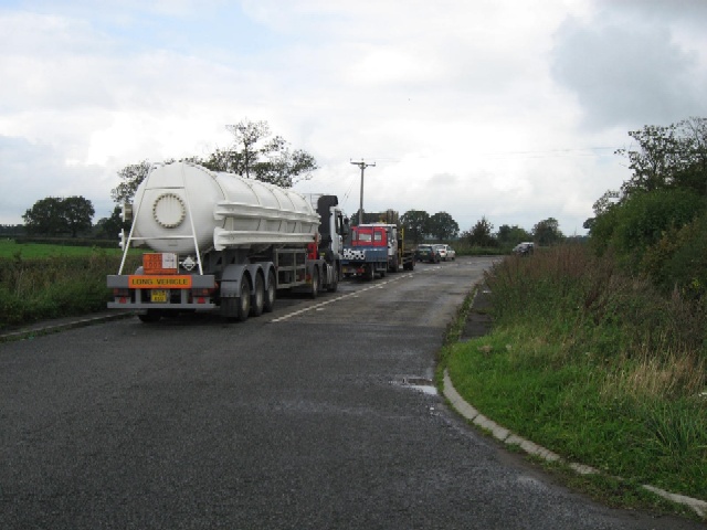
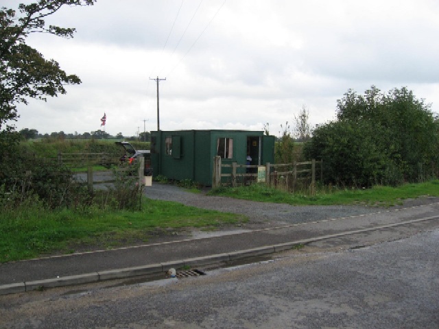
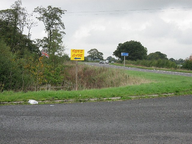
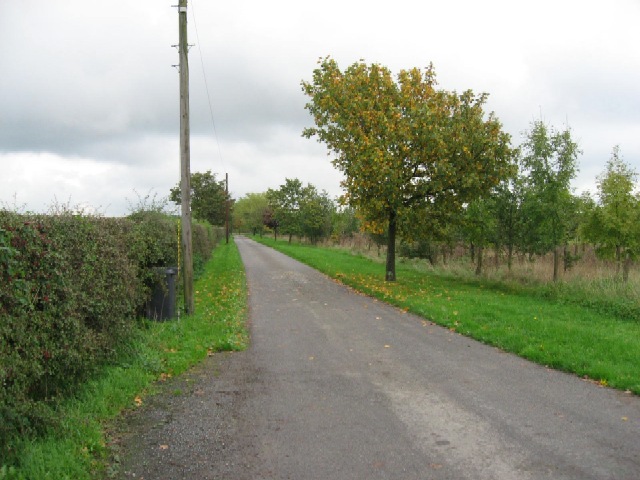
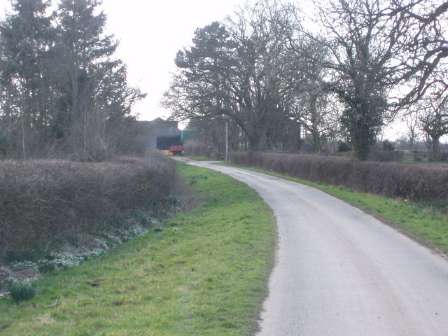
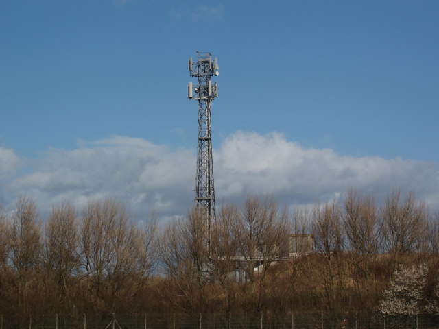
Huby Images

Images are sourced within 2km of 54.057062/-1.163162 or Grid Reference SE5462. Thanks to Geograph Open Source API. All images are credited.

Fields east of A19
Fields east of A19
High  Bohemia  Sign  and  Farm From Brownmoor Lane
High Bohemia Sign and Farm
From Brownmoor Lane
High  Bohemia  farm
High Bohemia farm
Brownmoor Lane Looking along Brownmoor Lane near Bohemia. This track runs through to Huby.
Brownmoor Lane
Looking along Brownmoor Lane near Bohemia. This track runs through to Huby.
Brownmoor Lane near High Bohemia This track links to others to run between Huby and Skelton.
Brownmoor Lane near High Bohemia
This track links to others to run between Huby and Skelton.
View up New Parks Beck The barns are at West Moor, in <a href="https://www.geograph.org.uk/gridref/SE5362">SE5362</a>.
View up New Parks Beck
The barns are at West Moor, in SE5362.
View up New Parks Beck The barns are at West Moor, in <a href="https://www.geograph.org.uk/gridref/SE5362">SE5362</a>.
View up New Parks Beck
The barns are at West Moor, in SE5362.
Williams Way From the A19, close to Blue Bridge.
Williams Way
From the A19, close to Blue Bridge.
A Layby On The A19 Popular because of Bev's Cafe.
A Layby On The A19
Popular because of Bev's Cafe.
Bev's Cafe In a layby on the A19.
Bev's Cafe
In a layby on the A19.
The A19 With the layby containing Bev's Cafe in the foreground of the photograph.
The A19
With the layby containing Bev's Cafe in the foreground of the photograph.
The Driveway To Fordington Lodge The driveway is also a Public Bridleway. From Fordington Lodge the Bridleway continues Northwards and a Public Footpath continues towards the East.
The Driveway To Fordington Lodge
The driveway is also a Public Bridleway. From Fordington Lodge the Bridleway continues Northwards and a Public Footpath continues towards the East.
A View From The A19 As seen from the entrance to the avenue to Fordington Lodge.
A View From The A19
As seen from the entrance to the avenue to Fordington Lodge.
The A19 Passing the avenue to Fordington Lodge.
The A19
Passing the avenue to Fordington Lodge.
A New Hedge Alongside Williams Way, just North of Blue Bridge.
A New Hedge
Alongside Williams Way, just North of Blue Bridge.
Keep Off The Verge Alongside the A19.
Keep Off The Verge
Alongside the A19.
Private Road to Demesne Farm and Newton Grange This private road branches to Newton Grange just before it reaches Demesne Farm.  The junction is just visible in mid ground.
Private Road to Demesne Farm and Newton Grange
This private road branches to Newton Grange just before it reaches Demesne Farm. The junction is just visible in mid ground.
Telecommunications Tower, Blue Bridge Whin
Show me another place!

Huby is located at Grid Ref: SE5462 (Lat: 54.057062, Lng: -1.163162)

Division: North Riding

Administrative County: North Yorkshire

District: Hambleton

Police Authority: North Yorkshire

What 3 Words

///opened.inhaler.handover. Near Linton upon Ouse, North Yorkshire

Nearby Locations

Huby

Related Wikis

RAF Shipton

Royal Air Force Shipton (more commonly known as RAF Shipton) was a First World War era airfield located north of the village of Shipton-by-Beningbrough...

Vale of York

The Vale of York is an area of flat land in the northeast of England. The vale is a major agricultural area and serves as the main north–south transport...

Raskelf

Raskelf is a village and civil parish in North Yorkshire, England. The electoral roll has a population of around 400 measured at 519 in the 2011 census...

Huby, Hambleton

Huby is a village and civil parish in the Hambleton District of North Yorkshire, England, about nine and a half miles north of York and five miles south...

Nearby Amenities

Located within 500m of 54.057062,-1.163162
The data included in this document is from www.openstreetmap.org. The data is made available under ODbL.

Have you been to Huby?

Leave your review of Huby below (or comments, questions and feedback).