Houghton and Wyton
Civil Parish in Huntingdonshire Huntingdonshire
England
Houghton and Wyton

Houghton and Wyton is a civil parish located in Huntingdonshire, Cambridgeshire, England. It is situated approximately 5 miles northwest of the town of St. Ives and about 14 miles northwest of the city of Cambridge. The parish covers an area of around 11 square kilometers and is home to a population of around 2,500 residents.
Houghton and Wyton is a picturesque area surrounded by beautiful countryside, with the Great Ouse River flowing nearby. The parish consists of two villages, Houghton and Wyton, which are connected by a bridge across the river. Both villages have a rich history that can be traced back several centuries.
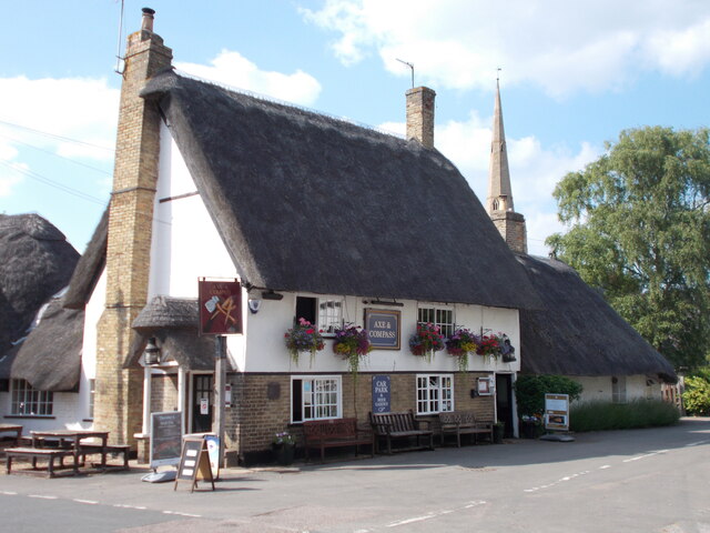
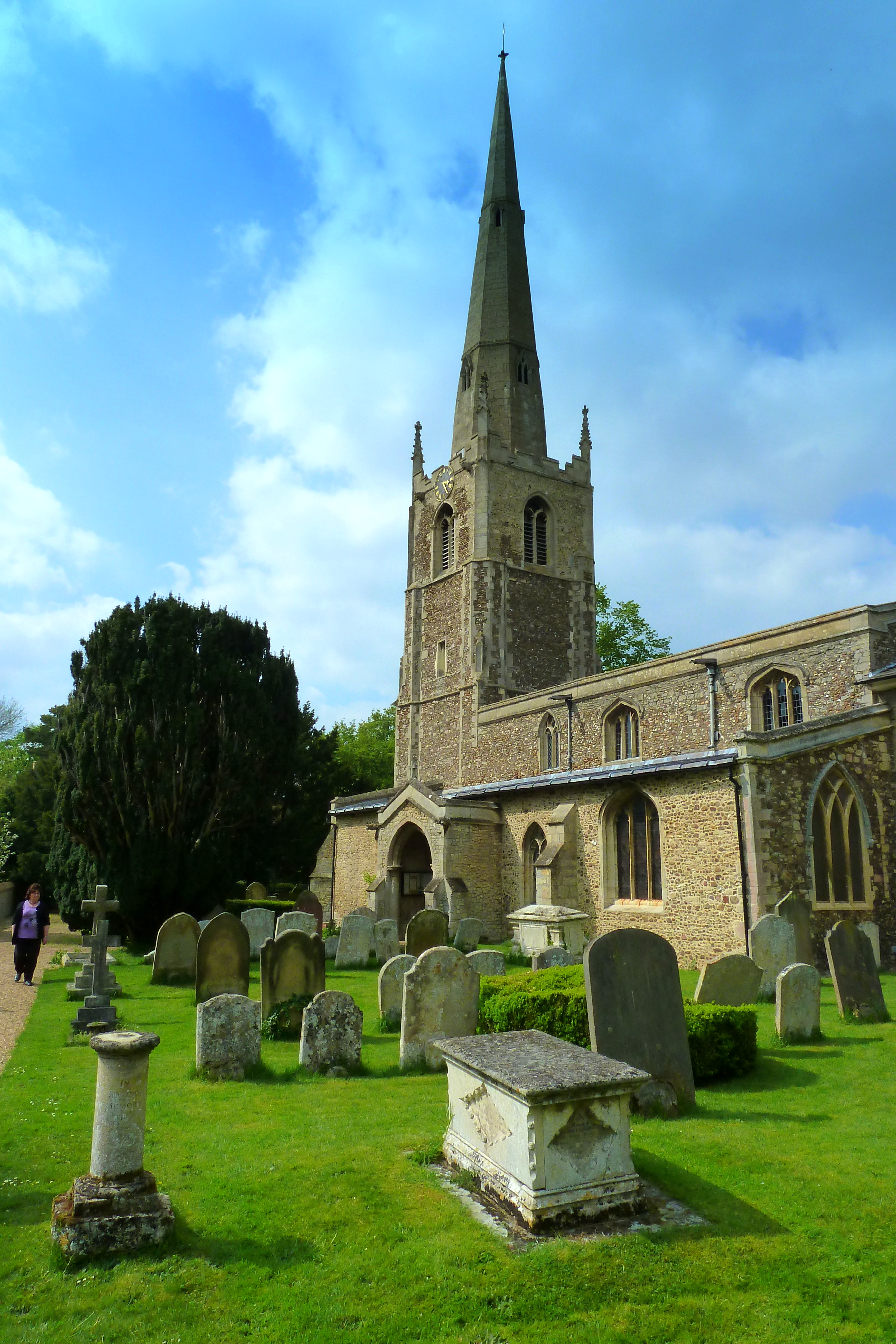
Houghton is the larger of the two villages and features a mixture of old and modern buildings. It has a convenience store, a village hall, and a primary school. Wyton, on the other hand, is a smaller village with a more rural feel. It has a church, a pub, and a few small businesses.
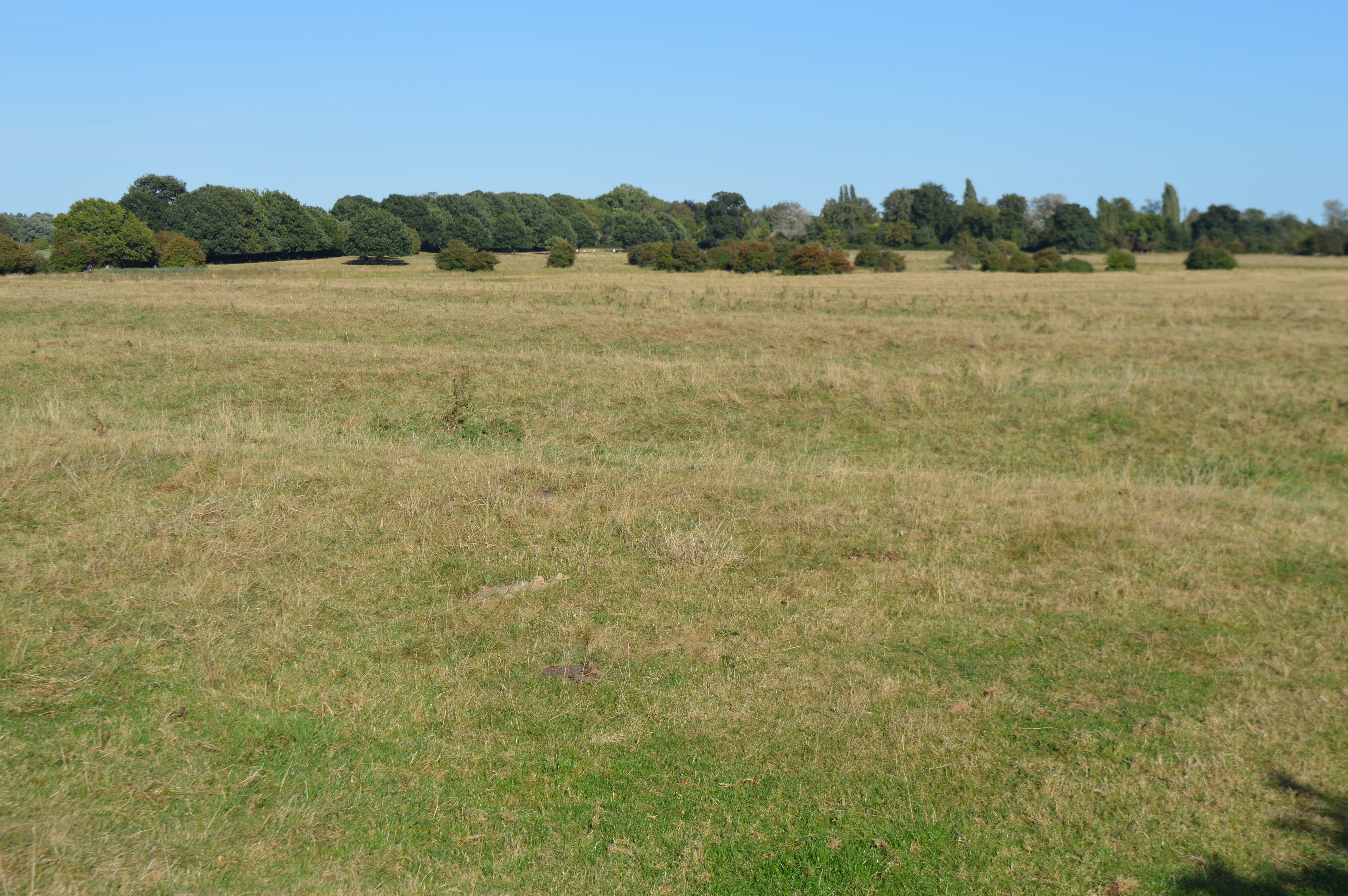
The area is known for its natural beauty and offers plenty of opportunities for outdoor activities, such as walking, cycling, and boating. The nearby Portholme Meadow is a popular spot for picnics and wildlife watching.
Overall, Houghton and Wyton is a charming civil parish with a close-knit community and a peaceful atmosphere. It provides a quiet and idyllic living environment while still being within easy reach of larger towns and cities for amenities and entertainment.
If you have any feedback on the listing, please let us know in the comments section below.
Houghton and Wyton Images
Images are sourced within 2km of 52.337038/-0.122461 or Grid Reference TL2872. Thanks to Geograph Open Source API. All images are credited.


Houghton and Wyton is located at Grid Ref: TL2872 (Lat: 52.337038, Lng: -0.122461)
Administrative County: Cambridgeshire
District: Huntingdonshire
Police Authority: Cambridgeshire
What 3 Words
///emails.unlisted.dinner. Near Houghton, Cambridgeshire
Nearby Locations
Related Wikis

Houghton, Cambridgeshire
Houghton is a village and former civil parish, now in the parish of Houghton and Wyton, in Cambridgeshire, England, approximately 3 miles (5 km) east...
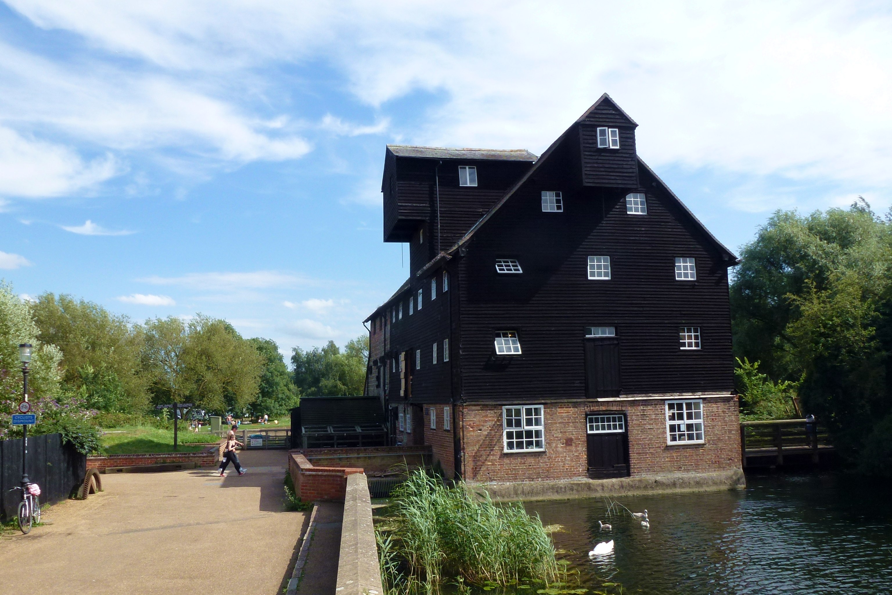
Houghton Mill
Houghton Mill is a water mill located on the Great Ouse in the village of Houghton, Cambridgeshire, England. It is a National Trust property and a Grade...
Wyton, Cambridgeshire
Wyton is a village and former civil parish, now in the parish of Houghton and Wyton, in Cambridgeshire, England. It lies approximately 2 miles (3 km) east...

Wyton on the Hill
Wyton on the Hill is a village and civil parish in Cambridgeshire, England. Wyton on the Hill lies approximately 3 miles (5 km) north-east of Huntingdon...
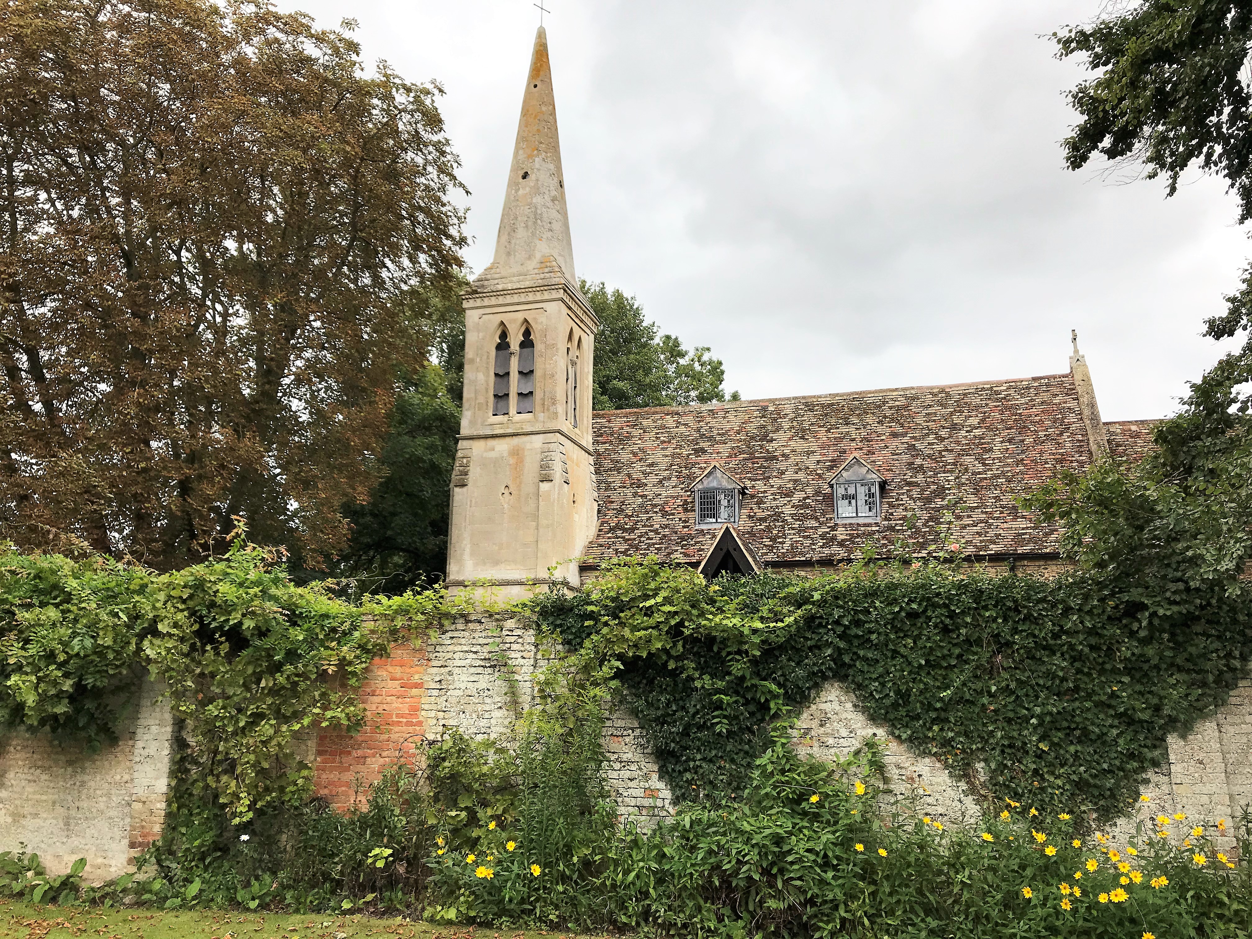
St Margaret's Church, Hemingford Abbots
St Margaret's Church, in Hemingford Abbots is a Church of England church, dedicated to Saint Margaret of Antioch. A church has stood on the site since...
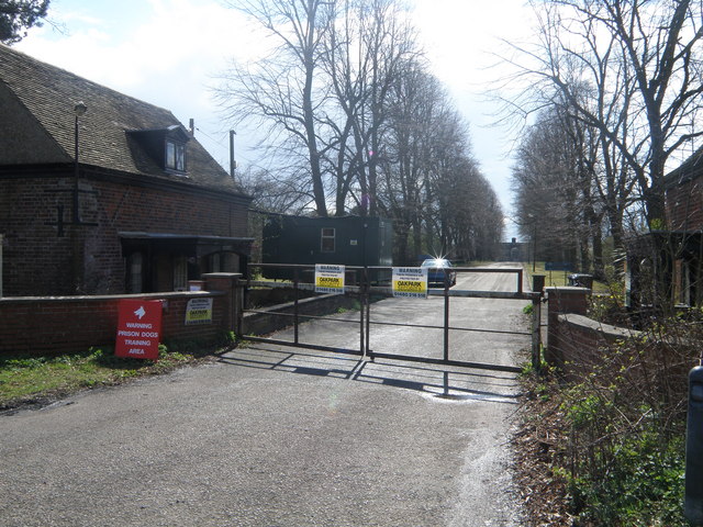
Houghton Poultry Research Station
The Houghton Poultry Research Station was a poultry disease research station in northern Cambridgeshire. By the 1970s, the site was the largest centre...
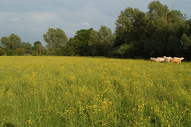
Houghton Meadows
Houghton Meadows is a 4.7-hectare (12-acre) biological Site of Special Scientific Interest (SSSI) between Houghton and St Ives in Cambridgeshire. The SSSI...
Godmanchester Eastside Common
Godmanchester Eastside Common is a 29.7-hectare (73-acre) biological Site of Special Scientific Interest east of Godmanchester in Cambridgeshire. The site...
Nearby Amenities
Located within 500m of 52.337038,-0.122461Have you been to Houghton and Wyton?
Leave your review of Houghton and Wyton below (or comments, questions and feedback).