Houghton
Settlement in Huntingdonshire Huntingdonshire
England
Houghton

Houghton is a small village located in the county of Huntingdonshire, England. Situated approximately 60 miles north of London, it lies within the district of Huntingdon and is part of the civil parish of Houghton and Wyton.
The village is known for its picturesque setting, surrounded by the beautiful countryside of Cambridgeshire. Houghton sits on the banks of the River Great Ouse, offering residents and visitors stunning views and recreational opportunities like riverside walks and boating. The nearby Houghton Mill, a historic watermill dating back to the 18th century, is a popular attraction for tourists.
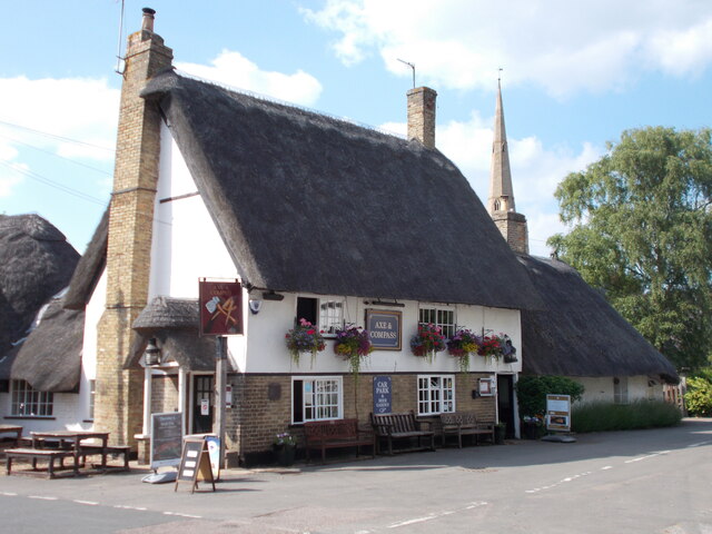
Houghton has a close-knit community, with a population of around 700 residents. The village boasts a range of amenities, including a primary school, village hall, and a local pub, providing a social hub for locals and visitors alike. The village also has a cricket ground, where matches are played during the summer months, adding to the community spirit.
For those seeking a tranquil and rural lifestyle, Houghton offers a peaceful retreat away from the hustle and bustle of city life. The village provides easy access to the nearby towns of Huntingdon and St Ives, where residents can find a wider range of amenities, shops, and services. With its idyllic setting and strong community spirit, Houghton is a charming village that captures the essence of English countryside living.
If you have any feedback on the listing, please let us know in the comments section below.
Houghton Images
Images are sourced within 2km of 52.333036/-0.12014708 or Grid Reference TL2872. Thanks to Geograph Open Source API. All images are credited.


Houghton is located at Grid Ref: TL2872 (Lat: 52.333036, Lng: -0.12014708)
Administrative County: Cambridgeshire
District: Huntingdonshire
Police Authority: Cambridgeshire
What 3 Words
///songbook.similar.inferior. Near Houghton, Cambridgeshire
Nearby Locations
Related Wikis

Houghton, Cambridgeshire
Houghton is a village and former civil parish, now in the parish of Houghton and Wyton, in Cambridgeshire, England, approximately 3 miles (5 km) east...
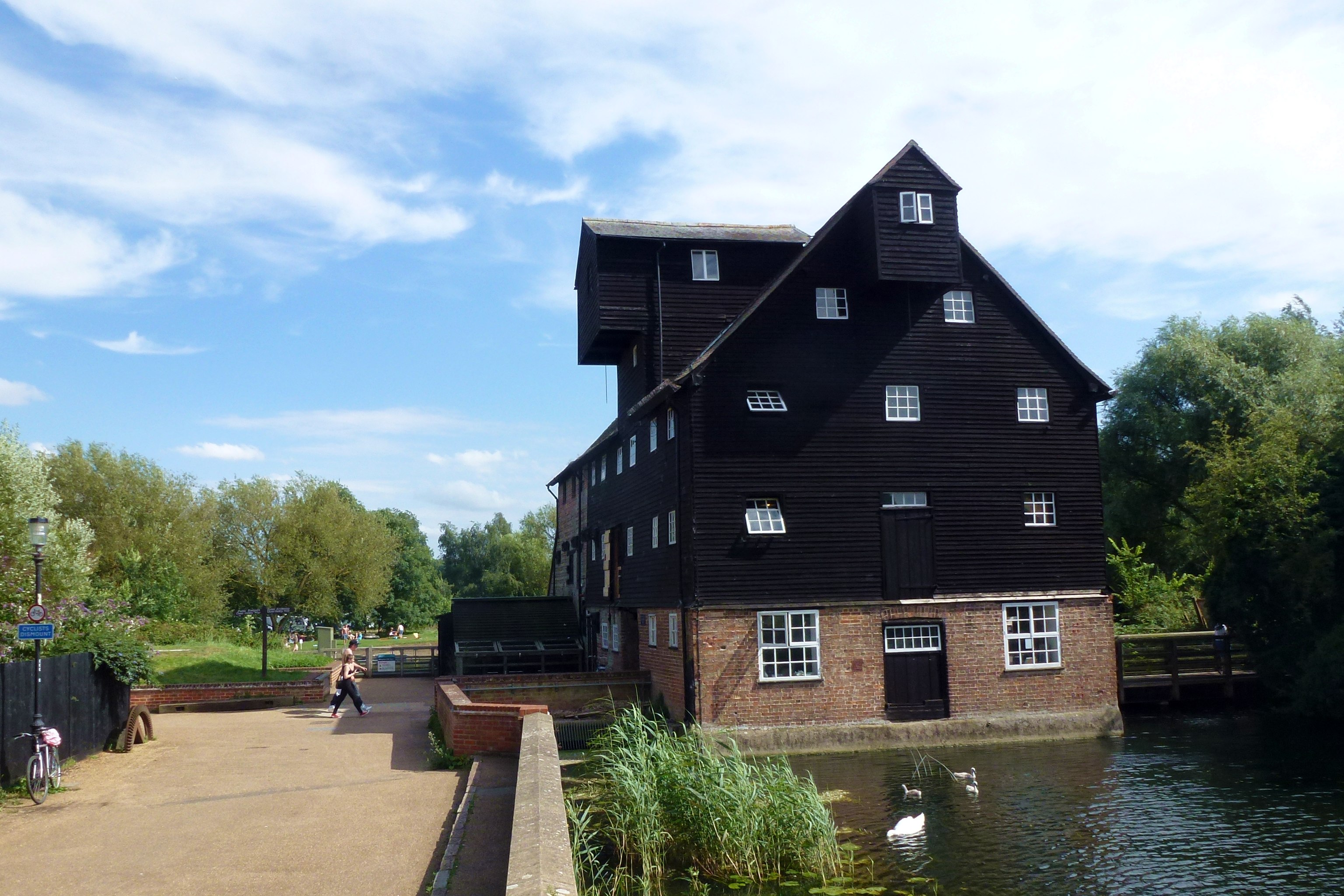
Houghton Mill
Houghton Mill is a water mill located on the Great Ouse in the village of Houghton, Cambridgeshire, England. It is a National Trust property and a Grade...
Wyton, Cambridgeshire
Wyton is a village and former civil parish, now in the parish of Houghton and Wyton, in Cambridgeshire, England. It lies approximately 2 miles (3 km) east...
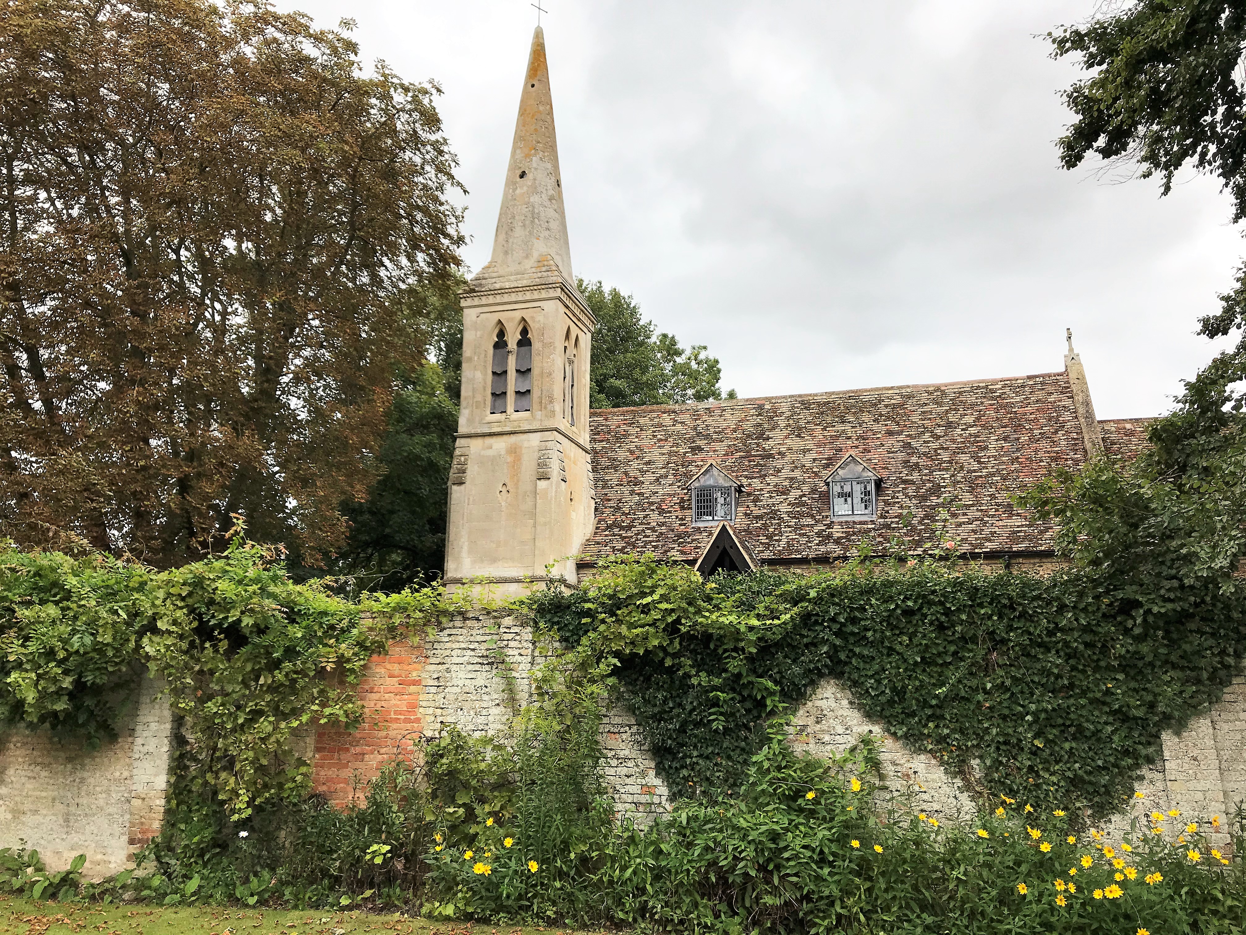
St Margaret's Church, Hemingford Abbots
St Margaret's Church, in Hemingford Abbots is a Church of England church, dedicated to Saint Margaret of Antioch. A church has stood on the site since...
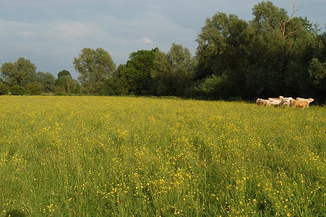
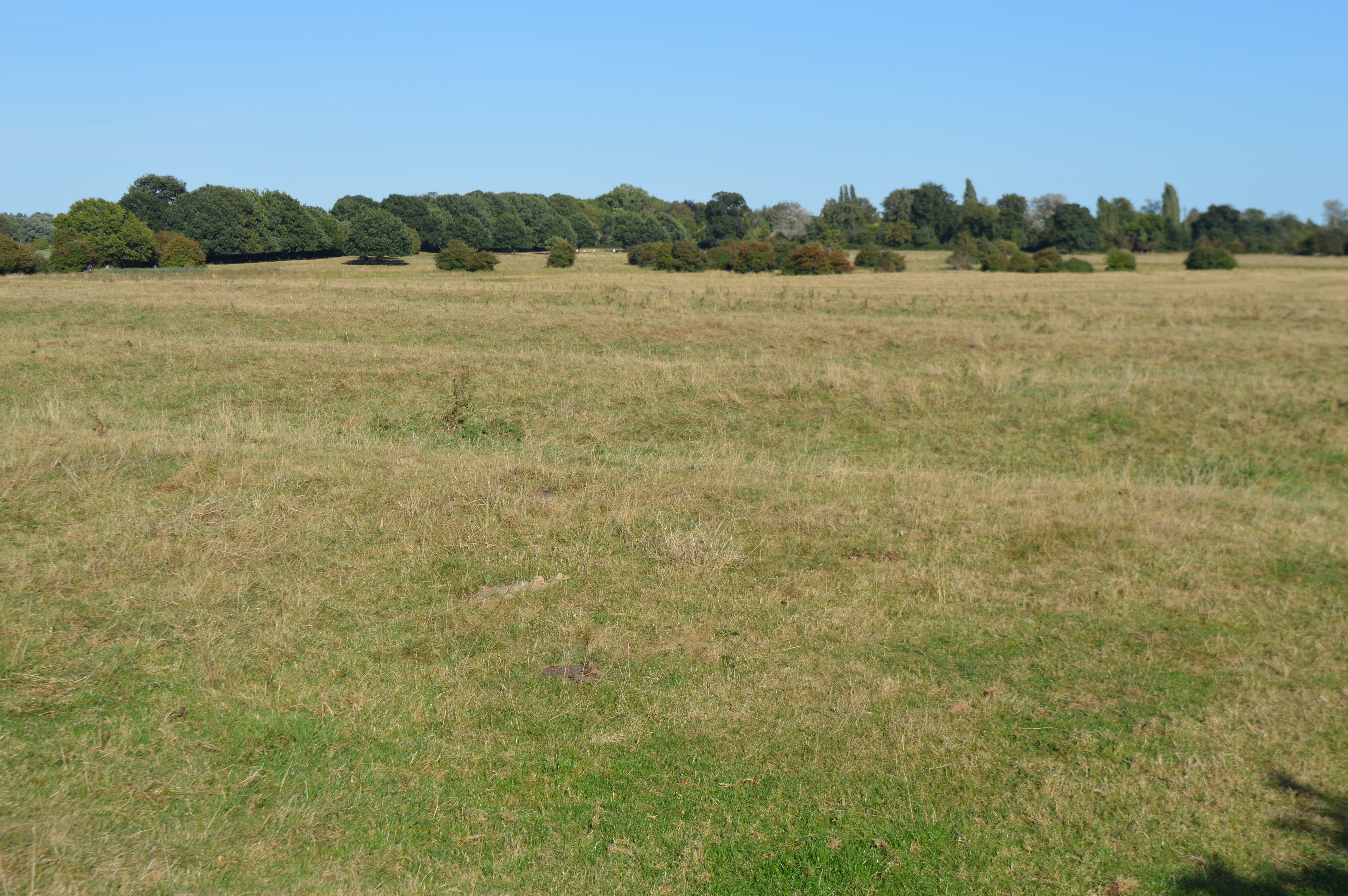
Houghton Meadows
Houghton Meadows is a 4.7-hectare (12-acre) biological Site of Special Scientific Interest (SSSI) between Houghton and St Ives in Cambridgeshire. The SSSI...
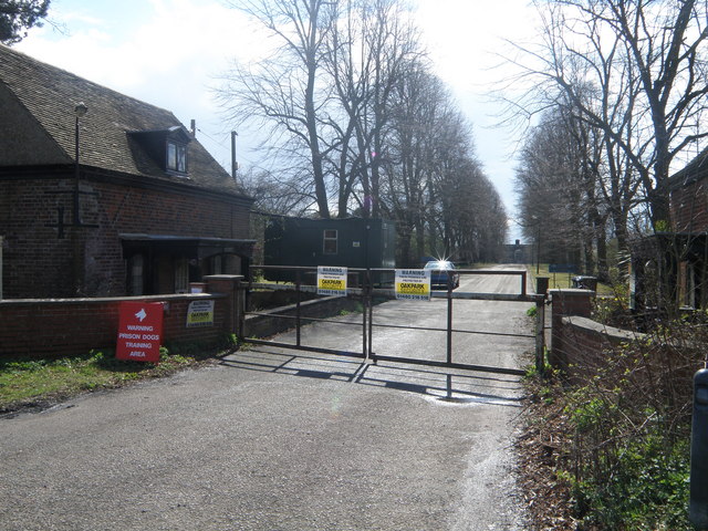
Houghton Poultry Research Station
The Houghton Poultry Research Station was a poultry disease research station in northern Cambridgeshire. By the 1970s, the site was the largest centre...

Wyton on the Hill
Wyton on the Hill is a village and civil parish in Cambridgeshire, England. Wyton on the Hill lies approximately 3 miles (5 km) north-east of Huntingdon...
Godmanchester Eastside Common
Godmanchester Eastside Common is a 29.7-hectare (73-acre) biological Site of Special Scientific Interest east of Godmanchester in Cambridgeshire. The site...
Nearby Amenities
Located within 500m of 52.333036,-0.12014708Have you been to Houghton?
Leave your review of Houghton below (or comments, questions and feedback).