Horningsea

Civil Parish in Cambridgeshire South Cambridgeshire

England

Horningsea

Clayhithe: Cam Sailing Club Blue sky and blue water on a bright and blowy July morning. The notice on the left prohibits fishing beyond it.
Clayhithe: Cam Sailing Club Credit: John Sutton

Horningsea is a civil parish located in the county of Cambridgeshire, England. Situated approximately 5 miles northeast of the historic city of Cambridge, the village is nestled along the banks of the River Cam. With a population of around 400 residents, Horningsea maintains a quaint and close-knit community atmosphere.

The village boasts a rich history, dating back to the Roman era, with evidence of settlements and artifacts found in the surrounding area. Today, many of the original village buildings still stand, showcasing traditional English architecture and charm.

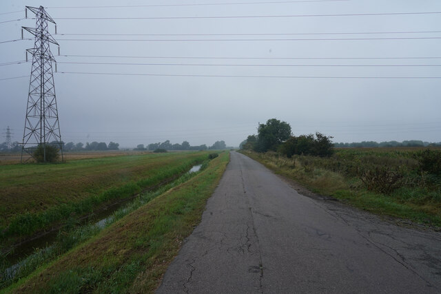
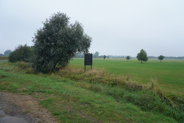
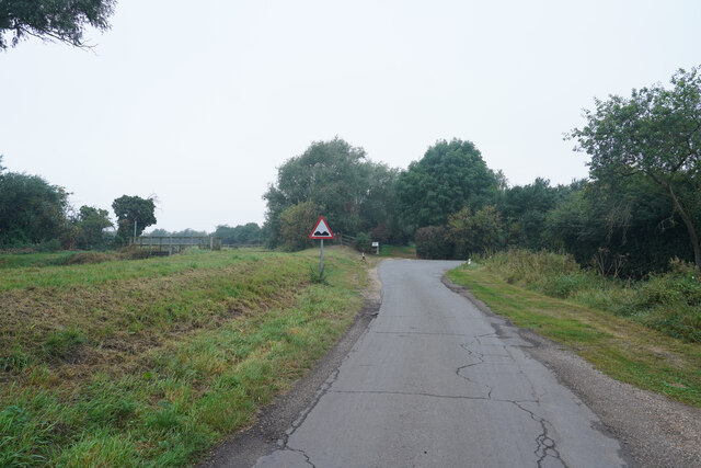
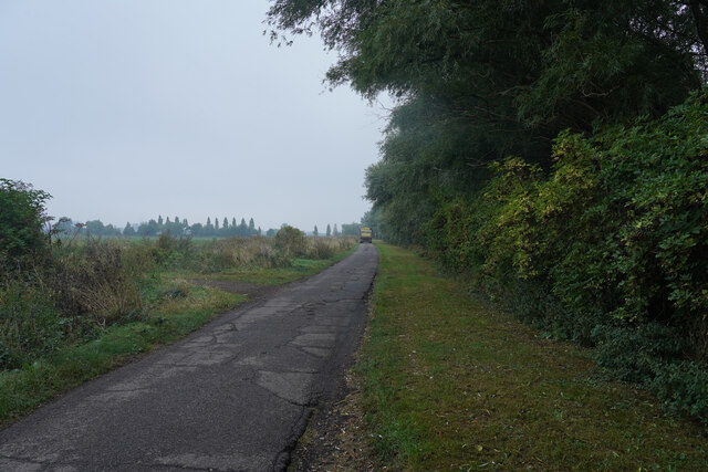
Horningsea's picturesque setting, surrounded by lush countryside and farmland, provides residents with a peaceful and idyllic environment. The village is also home to a number of nature reserves and wildlife habitats, making it a haven for nature enthusiasts and birdwatchers.

Despite its small size, Horningsea offers a range of amenities to its residents. These include a village hall, a primary school, a church, and a popular local pub. The village is also well-connected to larger nearby towns and cities, with regular bus services and easy access to major road networks.

Horningsea's close proximity to Cambridge makes it an attractive location for commuters working in the city. The village benefits from a peaceful rural setting while still providing convenient access to the amenities and opportunities of a larger urban area.

Overall, Horningsea is a charming and historic village that offers a tranquil countryside lifestyle within reach of the bustling city of Cambridge.

If you have any feedback on the listing, please let us know in the comments section below.

Horningsea Images

Images are sourced within 2km of 52.256682/0.208297 or Grid Reference TL5064. Thanks to Geograph Open Source API. All images are credited.

Clayhithe: Cam Sailing Club Blue sky and blue water on a bright and blowy July morning. The notice on the left prohibits fishing beyond it.
Clayhithe: Cam Sailing Club
Blue sky and blue water on a bright and blowy July morning. The notice on the left prohibits fishing beyond it.
Clayhithe: the Cam Conservancy quay and slipway Looking downstream on a fine morning in late July. The Conservancy's weed harvester is moored at the north end of the quay, in the centre of the picture. The fence and gates at the quay are recent - <a href="https://www.geograph.org.uk/photo/6407902">TL5064 : Clayhithe: downstream in early March</a> shows how things were in 2020.
Clayhithe: the Cam Conservancy quay and slipway
Looking downstream on a fine morning in late July. The Conservancy's weed harvester is moored at the north end of the quay, in the centre of the picture. The fence and gates at the quay are recent - TL5064 : Clayhithe: downstream in early March shows how things were in 2020.
Looking across Bottisham Lode The flat farmland is crossed by many water filled ditches which drain the fields.
Looking across Bottisham Lode
The flat farmland is crossed by many water filled ditches which drain the fields.
Lug Farm Droveway Looking along Lug Farm Droveway on a very dull morning, with fields to both sides.
Lug Farm Droveway
Looking along Lug Farm Droveway on a very dull morning, with fields to both sides.
Looking across the C.C polo ground It was most unexpected to find a Polo ground out in the country beyond the village of Lode.
Looking across the C.C polo ground
It was most unexpected to find a Polo ground out in the country beyond the village of Lode.
Lug Fen Drove This is almost the end of Lug Fen Drove. The road takes a right angle turn just ahead and the surface gets even worse.
Lug Fen Drove
This is almost the end of Lug Fen Drove. The road takes a right angle turn just ahead and the surface gets even worse.
The lorry takes up all the road The road surface is poor and not helped by the heavy lorry delivering something to the farm.
The lorry takes up all the road
The road surface is poor and not helped by the heavy lorry delivering something to the farm.
Clayhithe: the sun breaking through Looking towards Clayhithe bridge and against the light at 12.30 on an October day whose morning had been cloudy, with persistent mist. In a few minutes the sky was blue and remained clear for the rest of a warm day.
Clayhithe: the sun breaking through
Looking towards Clayhithe bridge and against the light at 12.30 on an October day whose morning had been cloudy, with persistent mist. In a few minutes the sky was blue and remained clear for the rest of a warm day.
Clayhithe: Cambridge Motor Boat Club Cruisers, reflections and two busy men, with chalets and caravans in the background. The sun was just breaking through after a cloudy October morning with persistent mist.
Clayhithe: Cambridge Motor Boat Club
Cruisers, reflections and two busy men, with chalets and caravans in the background. The sun was just breaking through after a cloudy October morning with persistent mist.
Clayhithe: Cam Sailing Club This October morning had been cloudy, with persistent mist, but after midday the sun showed signs of breaking through - and not long after this picture was taken the sky cleared and was blue for the rest of the day (see, for instance, <a href="https://www.geograph.org.uk/photo/6986179">TL4963 : Cruising down the Cam</a>, taken half an hour later).
Clayhithe: Cam Sailing Club
This October morning had been cloudy, with persistent mist, but after midday the sun showed signs of breaking through - and not long after this picture was taken the sky cleared and was blue for the rest of the day (see, for instance, TL4963 : Cruising down the Cam, taken half an hour later).
Clayhithe: moorings at Cambridge Motor Boat Club Still waters and cloud about to clear after an overcast and misty early-autumn morning.
Clayhithe: moorings at Cambridge Motor Boat Club
Still waters and cloud about to clear after an overcast and misty early-autumn morning.
Oak leaves on the way to Horningsea This bridle way is part of a network of paths and tracks linking Lode, Stow-cum-Quy and Horningsea (ahead) in The Fens north-east of Cambridge.
Oak leaves on the way to Horningsea
This bridle way is part of a network of paths and tracks linking Lode, Stow-cum-Quy and Horningsea (ahead) in The Fens north-east of Cambridge.
Moored near Clayhithe Bridge A band of thick cloud which had obscured the sun for the previous quarter of an hour was moving south-eastwards on a very cold morning in early December.
Moored near Clayhithe Bridge
A band of thick cloud which had obscured the sun for the previous quarter of an hour was moving south-eastwards on a very cold morning in early December.
Moored near Clayhithe Reflections in still waters on a lovely January morning. Clayhithe Bridge is in the distance on the left.
Moored near Clayhithe
Reflections in still waters on a lovely January morning. Clayhithe Bridge is in the distance on the left.
Waterbeach: a King's Cross train at Bannold Road A Sunday-morning train from King's Lynn approaching Bannold Road, which runs east from Waterbeach to Long Drove and Bottisham Lock. <a href="https://www.geograph.org.uk/photo/7083459">TL5065 : Waterbeach: Birmingham-bound at Bannold Road</a>, taken less than a minute before, shows a northbound train.

For more about the automatic half-barrier crossing, known as Bottisham Road by the railway, see <span class="nowrap"><a title="https://abcrailwayguide.uk/bottisham-road-public-level-crossing-cambridgeshire#.YfadzGCnx8w" rel="nofollow ugc noopener" href="https://abcrailwayguide.uk/bottisham-road-public-level-crossing-cambridgeshire#.YfadzGCnx8w">Link</a><img style="margin-left:2px;" alt="External link" title="External link - shift click to open in new window" src="https://s1.geograph.org.uk/img/external.png" width="10" height="10"/></span> .
Waterbeach: a King's Cross train at Bannold Road
A Sunday-morning train from King's Lynn approaching Bannold Road, which runs east from Waterbeach to Long Drove and Bottisham Lock. TL5065 : Waterbeach: Birmingham-bound at Bannold Road, taken less than a minute before, shows a northbound train. For more about the automatic half-barrier crossing, known as Bottisham Road by the railway, see LinkExternal link .
Waterbeach: Birmingham-bound at Bannold Road A Sunday-morning train from Stansted Airport passing Bannold Road, which runs east from Waterbeach to Long Drove and Bottisham Lock. <a href="https://www.geograph.org.uk/photo/7083451">TL5065 : Waterbeach: a King's Cross train at Bannold Road</a>, taken less than a minute later, shows a southbound train.

For more about the automatic half-barrier crossing, known as Bottisham Road by the railway, see <span class="nowrap"><a title="https://abcrailwayguide.uk/bottisham-road-public-level-crossing-cambridgeshire#.YfadzGCnx8w" rel="nofollow ugc noopener" href="https://abcrailwayguide.uk/bottisham-road-public-level-crossing-cambridgeshire#.YfadzGCnx8w">Link</a><img style="margin-left:2px;" alt="External link" title="External link - shift click to open in new window" src="https://s1.geograph.org.uk/img/external.png" width="10" height="10"/></span> .
Waterbeach: Birmingham-bound at Bannold Road
A Sunday-morning train from Stansted Airport passing Bannold Road, which runs east from Waterbeach to Long Drove and Bottisham Lock. TL5065 : Waterbeach: a King's Cross train at Bannold Road, taken less than a minute later, shows a southbound train. For more about the automatic half-barrier crossing, known as Bottisham Road by the railway, see LinkExternal link .
Bottisham Sluice on a January morning The notice advises foolish people not to climb, as the sluice's machinery can move without warning, or swim as there are strong currents.
Bottisham Sluice on a January morning
The notice advises foolish people not to climb, as the sluice's machinery can move without warning, or swim as there are strong currents.
Fishing at Bottisham Lock A brilliantly sunny Sunday morning at the end of January. The sluice is to the right of the lock's guillotine gate.
Fishing at Bottisham Lock
A brilliantly sunny Sunday morning at the end of January. The sluice is to the right of the lock's guillotine gate.
Show me another place!

Horningsea is located at Grid Ref: TL5064 (Lat: 52.256682, Lng: 0.208297)

Administrative County: Cambridgeshire

District: South Cambridgeshire

Police Authority: Cambridgeshire

What 3 Words

///orders.caressed.dragonfly. Near Waterbeach, Cambridgeshire

Related Wikis

Waterbeach railway station

Waterbeach railway station is on the Fen line in the east of England, serving the village of Waterbeach, Cambridgeshire. It is 61 miles 1 chain (98.2 km...

Waterbeach Abbey

Waterbeach Abbey was an abbey at Waterbeach in Cambridgeshire, England. It was established in 1294 by nuns from the Second Order of St. Francis who had...

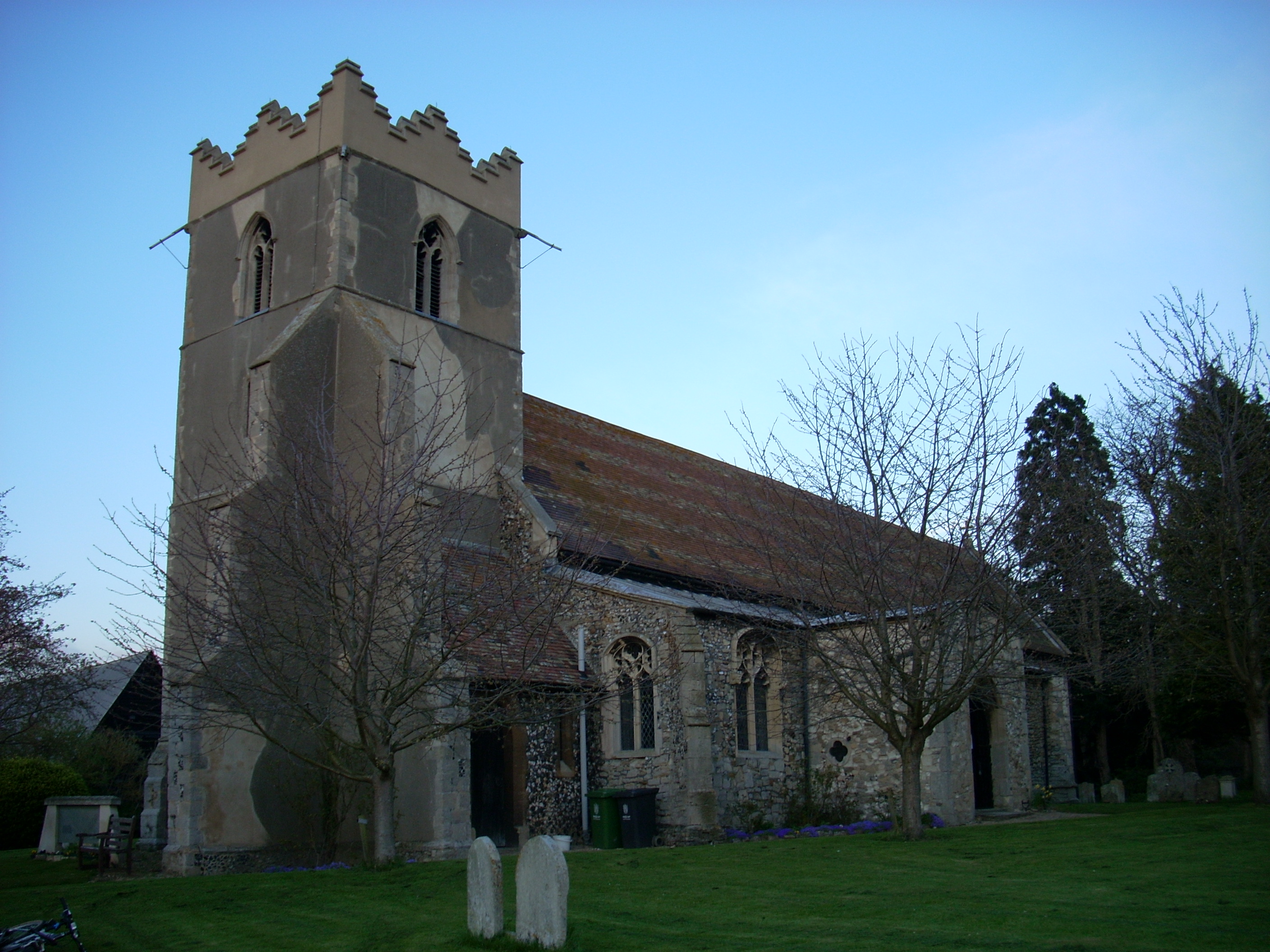
Church of St John the Evangelist, Waterbeach

The Anglican Church of St John the Evangelist (also known as St John's Church) is the parish church of the village of Waterbeach in Cambridgeshire, England...

Waterbeach

Waterbeach is an expanding village 6 miles (9.7 km) north of Cambridge on the edge of The Fens, in the South Cambridgeshire district of Cambridgeshire...

Stow-Cum-Quy Fen

Stow-Cum-Quy Fen is a 29.9-hectare (74-acre) biological Site of Special Scientific Interest west of Lode in Cambridgeshire. Most of it is common land.The...
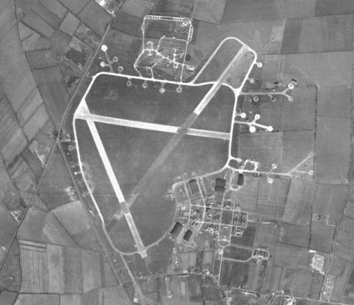
RAF Waterbeach

Royal Air Force Waterbeach or more simply RAF Waterbeach is a former Royal Air Force station located in Waterbeach, Cambridgeshire which is about 5.5 miles...

Waterbeach Barracks

Waterbeach Barracks is a former military installation in Waterbeach, Cambridgeshire. The site was an RAF Station, RAF Waterbeach and then used by the Royal...

Horningsea

Horningsea is a small village north of Cambridge in Cambridgeshire in England. The parish covers an area of 2.6 square miles (6.7 km2; 1,700 acres). It...

Nearby Amenities

Located within 500m of 52.256682,0.208297
The data included in this document is from www.openstreetmap.org. The data is made available under ODbL.

Have you been to Horningsea?

Leave your review of Horningsea below (or comments, questions and feedback).