Hook
Civil Parish in Yorkshire
England
Hook
Hook is a civil parish located in the county of Yorkshire, England. It is situated within the district of East Riding of Yorkshire, approximately 12 miles northwest of the city of Hull. The parish covers an area of around 6 square miles and is home to a population of approximately 800 residents.
Hook is a small rural community, characterized by its picturesque countryside and charming village atmosphere. The parish is surrounded by rolling hills, lush green fields, and scenic landscapes, making it an ideal destination for nature lovers and outdoor enthusiasts. The village itself is quaint and has a close-knit community feel.
The main focal point of the village is the All Saints Church, a historic building that dates back to the 12th century. It is known for its beautiful architecture and serves as a place of worship for the local residents. Other notable landmarks in the area include the Hook Memorial Hall, which serves as a community center, and a number of small, independently-owned shops and businesses.
The economy of Hook is predominantly agricultural, with farming playing a significant role in the local industry. The area is known for its production of crops such as wheat, barley, and potatoes. Additionally, there are a few small businesses in the village that cater to the needs of the local community.
Overall, Hook, Yorkshire is a charming and idyllic rural parish, offering a peaceful and scenic environment for residents and visitors alike.
If you have any feedback on the listing, please let us know in the comments section below.
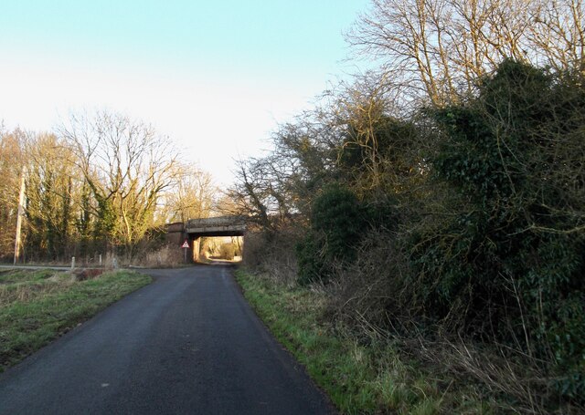
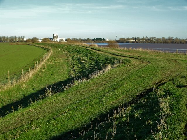
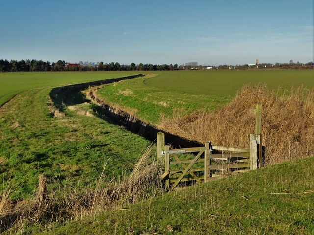
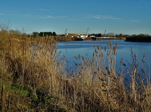
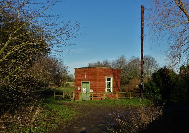
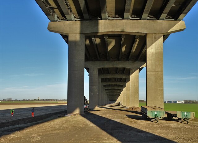
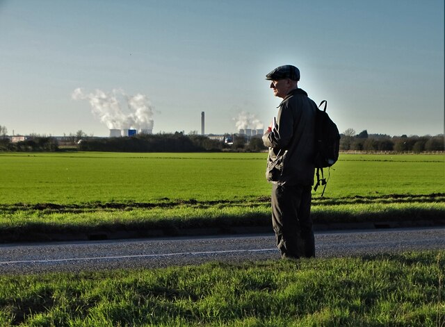
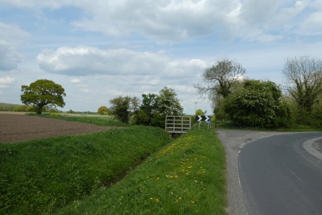
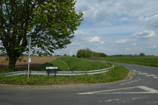
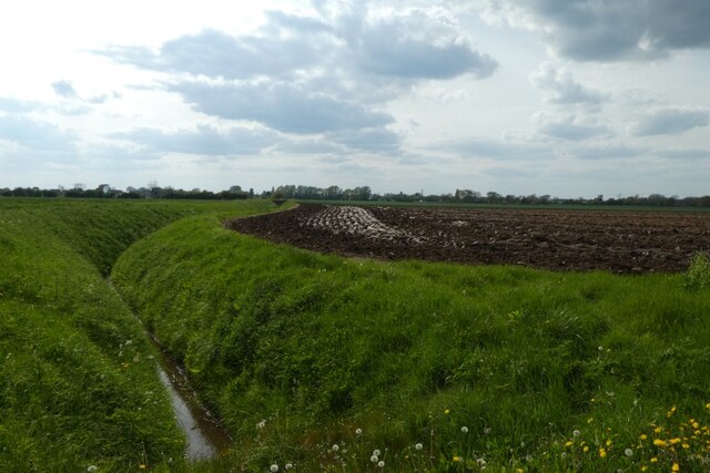
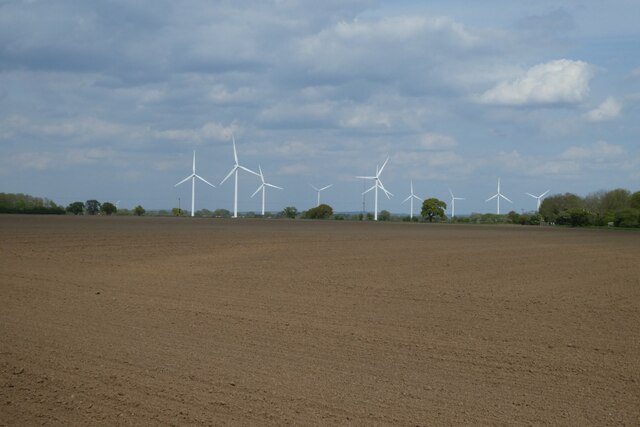
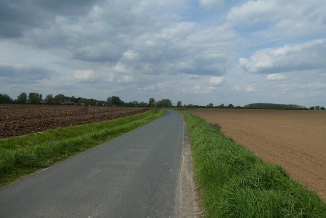
Hook Images
Images are sourced within 2km of 53.72183/-0.851206 or Grid Reference SE7525. Thanks to Geograph Open Source API. All images are credited.


Hook is located at Grid Ref: SE7525 (Lat: 53.72183, Lng: -0.851206)
Division: West Riding
Unitary Authority: East Riding of Yorkshire
Police Authority: Humberside
What 3 Words
///shuffles.noted.dozed. Near Hook, East Yorkshire
Nearby Locations
Related Wikis

Hook, East Riding of Yorkshire
Hook is a village and civil parish in the East Riding of Yorkshire, England. It is situated approximately 1.5 miles (2.4 km) north-east of Goole town centre...

Skelton, East Riding of Yorkshire
Skelton is a hamlet and former civil parish, now in the parish of Kilpin, in the East Riding of Yorkshire, England, and a linear settlement on the east...

Howden Dyke Island
Howden Dyke Island is a 19-acre (7.7 ha) island in the River Ouse, Yorkshire. More accurately a shoal between seasonally varying flows, the area regularly...
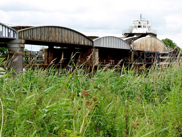
Goole railway swing bridge
The Skelton Viaduct, also known as the Hook bridge or Goole railway swing bridge, is a large viaducted hogback plate girder bridge with swing span over...
Nearby Amenities
Located within 500m of 53.72183,-0.851206Have you been to Hook?
Leave your review of Hook below (or comments, questions and feedback).