West Field

Downs, Moorland in Yorkshire

England

West Field

Riverbank path with Howden Dyke Lee ahead
Riverbank path with Howden Dyke Lee ahead Credit: Neil Theasby

The requested URL returned error: 429 Too Many Requests

If you have any feedback on the listing, please let us know in the comments section below.
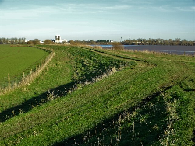
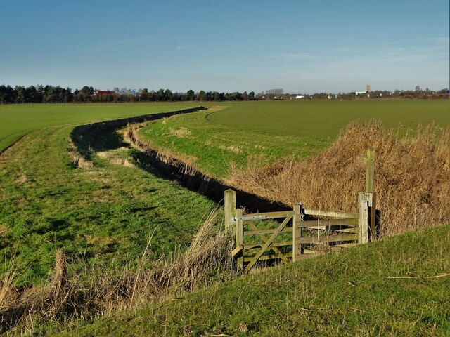
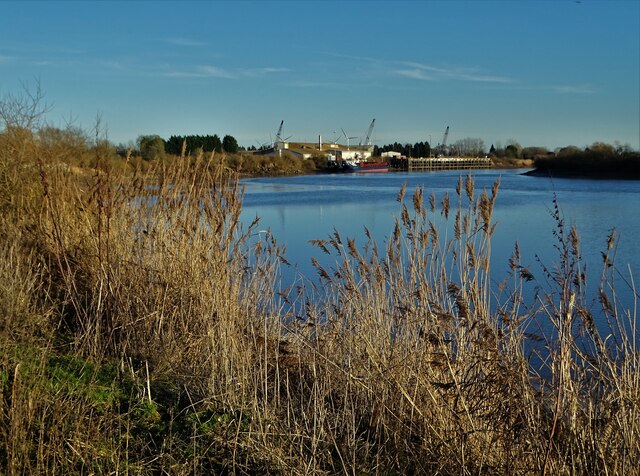
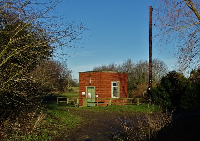
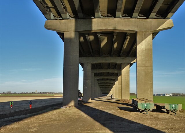
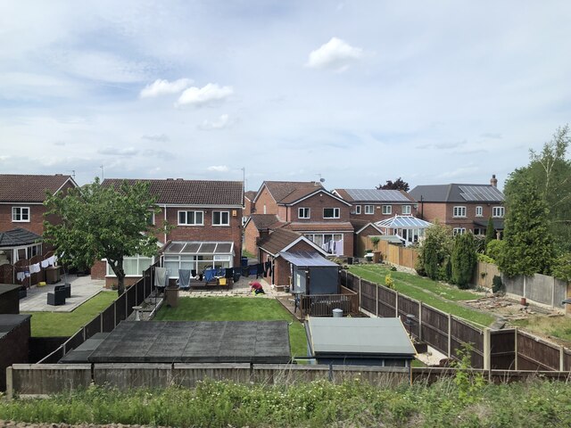
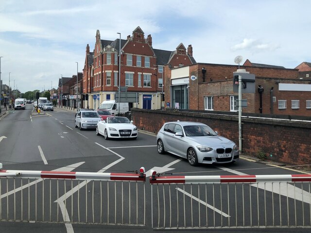
West Field Images

Images are sourced within 2km of 53.719716/-0.86075509 or Grid Reference SE7525. Thanks to Geograph Open Source API. All images are credited.

Riverbank path with Howden Dyke Lee ahead
Junction of paths near Howden Dyke Lee
Riverside view to Howdendyke
Pumping station at Howdendyke
Under The Ouse Bridge (M62) On the north bank of The River Ouse, following the completion of a lengthy bridge repair project.
Under The Ouse Bridge (M62)
On the north bank of The River Ouse, following the completion of a lengthy bridge repair project.
View across Howden Dyke Lee To Howden Dyke Island which is sometimes known locally as Hook Island. It was purchased by the RSPB in 2014 as a bird sanctuary.
View across Howden Dyke Lee
To Howden Dyke Island which is sometimes known locally as Hook Island. It was purchased by the RSPB in 2014 as a bird sanctuary.
A view of Hook Island in The River Ouse Often known as Howden Dyke Island and since 2014 has been in the possession of The RSPB as a bird sanctuary.
A view of Hook Island in The River Ouse
Often known as Howden Dyke Island and since 2014 has been in the possession of The RSPB as a bird sanctuary.
Footpath to Hook by South Field
The Memorial Hall in Hook
View across The River Ouse Looking to Kilpin Pike where a cargo ship is unloading at the wharf. The ship is called "The Wilson Aviles". It was built in 2008 and is currently operating under the flag of Barbados.
View across The River Ouse
Looking to Kilpin Pike where a cargo ship is unloading at the wharf. The ship is called "The Wilson Aviles". It was built in 2008 and is currently operating under the flag of Barbados.
Warehouses near Howden Looking towards distribution centres for Ebuyer and Wren.
Warehouses near Howden
Looking towards distribution centres for Ebuyer and Wren.
Ebuyer near Howden Looking towards the distribution centre for the electronics company.
Ebuyer near Howden
Looking towards the distribution centre for the electronics company.
Housing on Mayfield, Goole
Boothferry Road, Goole
Cut Mark: Goole, #68 Aire Street Cut bench mark on the building at the corner of Aire Street and Calder Street.  See <a title="https://www.geograph.org.uk/photo/7297521" href="https://www.geograph.org.uk/photo/7297521">Link</a> for a wider view and <span class="nowrap"><a title="https://www.bench-marks.org.uk/bm110325" rel="nofollow ugc noopener" href="https://www.bench-marks.org.uk/bm110325">Link</a><img style="margin-left:2px;" alt="External link" title="External link - shift click to open in new window" src="https://s1.geograph.org.uk/img/external.png" width="10" height="10"/></span> for details of the mark.
Cut Mark: Goole, #68 Aire Street
Cut bench mark on the building at the corner of Aire Street and Calder Street. See Link for a wider view and LinkExternal link for details of the mark.
Building at the Junction of Aire Street and Calder Street An appropriate pair of street names for Goole, where the Aire and Calder Navigation meets the tidal River Ouse.  The building carries a cut bench mark right of the doorway.  See <a title="https://www.geograph.org.uk/photo/7297500" href="https://www.geograph.org.uk/photo/7297500">Link</a> for a closer view and <span class="nowrap"><a title="https://www.bench-marks.org.uk/bm110325" rel="nofollow ugc noopener" href="https://www.bench-marks.org.uk/bm110325">Link</a><img style="margin-left:2px;" alt="External link" title="External link - shift click to open in new window" src="https://s1.geograph.org.uk/img/external.png" width="10" height="10"/></span> for details of the mark.
Building at the Junction of Aire Street and Calder Street
An appropriate pair of street names for Goole, where the Aire and Calder Navigation meets the tidal River Ouse. The building carries a cut bench mark right of the doorway. See Link for a closer view and LinkExternal link for details of the mark.
Cut Mark: Goole Police Station and Court House Cut bench mark on the frontage of the courthouse.  See <a title="https://www.geograph.org.uk/photo/7311652" href="https://www.geograph.org.uk/photo/7311652">Link</a> for a wider view and <span class="nowrap"><a title="https://www.bench-marks.org.uk/bm175098" rel="nofollow ugc noopener" href="https://www.bench-marks.org.uk/bm175098">Link</a><img style="margin-left:2px;" alt="External link" title="External link - shift click to open in new window" src="https://s1.geograph.org.uk/img/external.png" width="10" height="10"/></span> for details of the mark.
Cut Mark: Goole Police Station and Court House
Cut bench mark on the frontage of the courthouse. See Link for a wider view and LinkExternal link for details of the mark.
Goole Courthouse There is a cut bench mark on the frontage of the courthouse near the plant.  See <a title="https://www.geograph.org.uk/photo/7311632" href="https://www.geograph.org.uk/photo/7311632">Link</a> for a closer view and <span class="nowrap"><a title="https://www.bench-marks.org.uk/bm175098" rel="nofollow ugc noopener" href="https://www.bench-marks.org.uk/bm175098">Link</a><img style="margin-left:2px;" alt="External link" title="External link - shift click to open in new window" src="https://s1.geograph.org.uk/img/external.png" width="10" height="10"/></span> for details of the mark.
Goole Courthouse
There is a cut bench mark on the frontage of the courthouse near the plant. See Link for a closer view and LinkExternal link for details of the mark.
Show me another place!

West Field is located at Grid Ref: SE7525 (Lat: 53.719716, Lng: -0.86075509)

Division: West Riding

Unitary Authority: East Riding of Yorkshire

Police Authority: Humberside

What 3 Words

///traps.coasting.ombudsman. Near Hook, East Yorkshire

Related Wikis

Howden Dyke Island

Howden Dyke Island is a 19-acre (7.7 ha) island in the River Ouse, Yorkshire. More accurately a shoal between seasonally varying flows, the area regularly...

Hook, East Riding of Yorkshire

Hook is a village and civil parish in the East Riding of Yorkshire, England. It is situated approximately 1.5 miles (2.4 km) north-east of Goole town centre...

Goole and District Hospital

Goole and District Hospital is a hospital in Goole, East Riding of Yorkshire, England. It is managed by Northern Lincolnshire and Goole Hospitals NHS Foundation...

Skelton, East Riding of Yorkshire

Skelton is a hamlet and former civil parish, now in the parish of Kilpin, in the East Riding of Yorkshire, England, and a linear settlement on the east...

Nearby Amenities

Located within 500m of 53.719716,-0.86075509
Noexit: yes
Lat/Long: 53.7159522/-0.8595911
Noexit: yes
Lat/Long: 53.7160485/-0.8595952
Turning Circle
Lat/Long: 53.7155163/-0.8595827
Turning Circle
Lat/Long: 53.7155487/-0.8597175
Noexit: yes
Lat/Long: 53.7160205/-0.8638981
Noexit: yes
Lat/Long: 53.7162289/-0.865003
Noexit: yes
Lat/Long: 53.717318/-0.8634971
Noexit: yes
Lat/Long: 53.7173556/-0.8639594
Noexit: yes
Lat/Long: 53.7167048/-0.8644287
Noexit: yes
Lat/Long: 53.7168106/-0.8643089
Goole Ivy Park Road
Naptan AtcoCode: 2200YEZ01299
Naptan Bearing: S
Naptan BusStopType: CUS
Naptan CommonName: Goole Ivy Park Road
Naptan Street: Broompark Road
Note: no evidence of stop, but a CUS
Source: naptan + survey
Lat/Long: 53.7155098/-0.860995
Noexit: yes
Lat/Long: 53.7162584/-0.8646628
Man Made: mast
Lat/Long: 53.7186964/-0.8555871
Man Made: mast
Lat/Long: 53.7187089/-0.8550095
Noexit: yes
Lat/Long: 53.7171022/-0.860039
Noexit: yes
Lat/Long: 53.7175304/-0.8593791
Noexit: yes
Lat/Long: 53.716668/-0.8625568
Noexit: yes
Lat/Long: 53.7170013/-0.8600812
The data included in this document is from www.openstreetmap.org. The data is made available under ODbL.

Have you been to West Field?

Leave your review of West Field below (or comments, questions and feedback).