Honingham
Civil Parish in Norfolk Broadland
England
Honingham
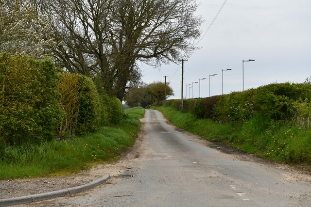
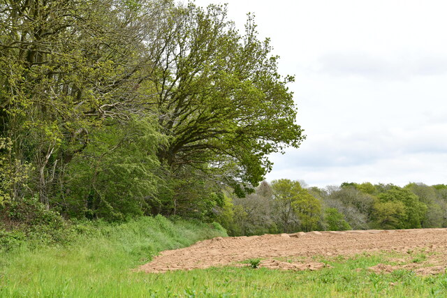
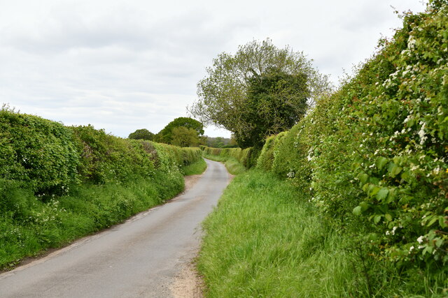
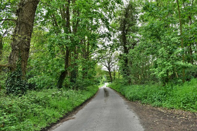
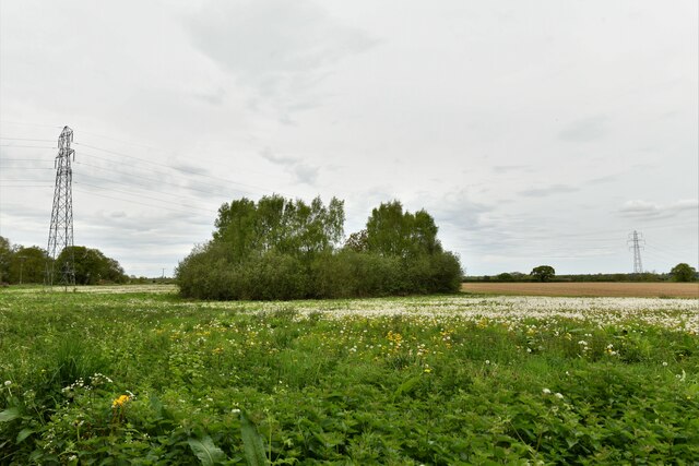
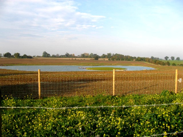
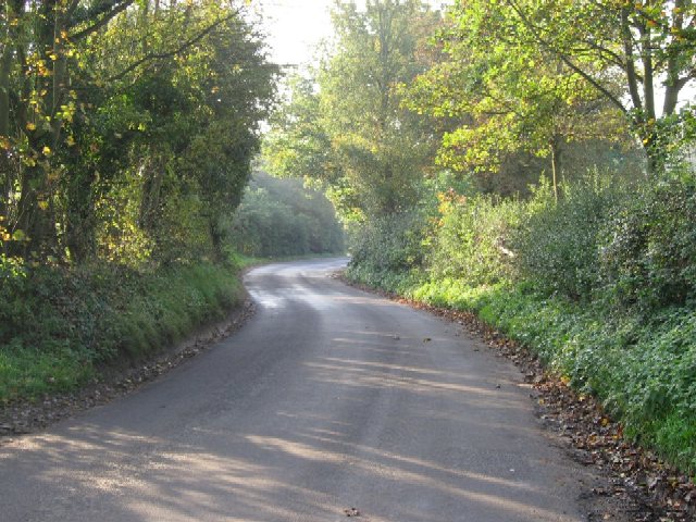
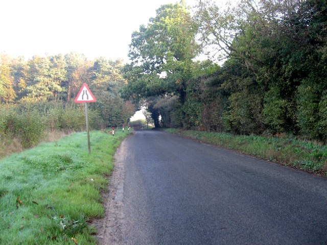
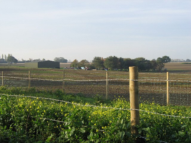
Honingham is a civil parish located in the county of Norfolk, England. It is situated approximately 10 miles west of the city of Norwich and covers an area of about 3.4 square miles. The village is nestled in a rural setting, surrounded by picturesque countryside and farmland.
Honingham has a population of around 400 residents, according to the latest available data. The village is characterized by a mix of traditional and modern buildings, with some dating back to the 17th century. The parish church, St. Andrew's, is a notable landmark, showcasing beautiful architecture and serving as a focal point for the community.
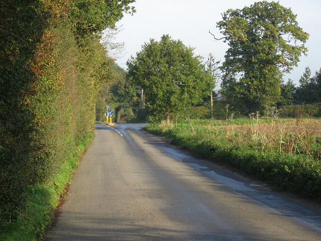
The village is well-connected, with good transportation links to nearby towns and cities. The A47 road runs through the parish, providing easy access to Norwich and other major destinations. There is also a railway station in the neighboring village of Wymondham, offering regular services to Norwich, Cambridge, and London.
Honingham offers a peaceful and tranquil environment, making it an attractive place for those seeking a rural lifestyle. The village has a strong sense of community, with various social and recreational activities taking place throughout the year. There are also amenities such as a village hall and a pub, providing gathering spaces for residents.
Overall, Honingham is a charming and tight-knit community, with its idyllic countryside setting and friendly atmosphere contributing to its appeal.
If you have any feedback on the listing, please let us know in the comments section below.
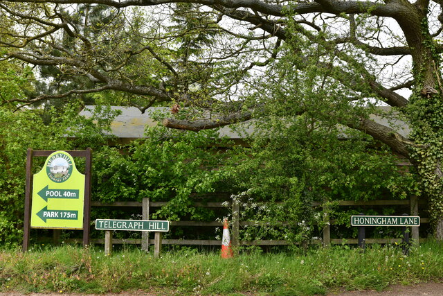
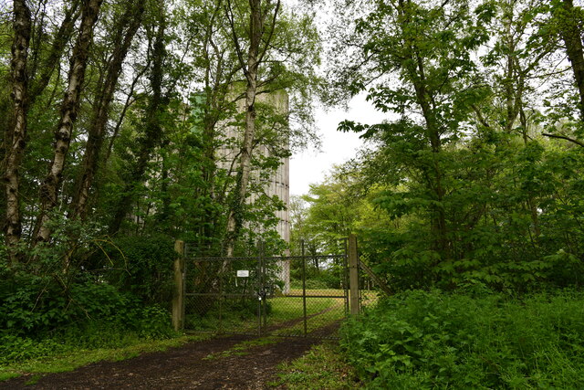
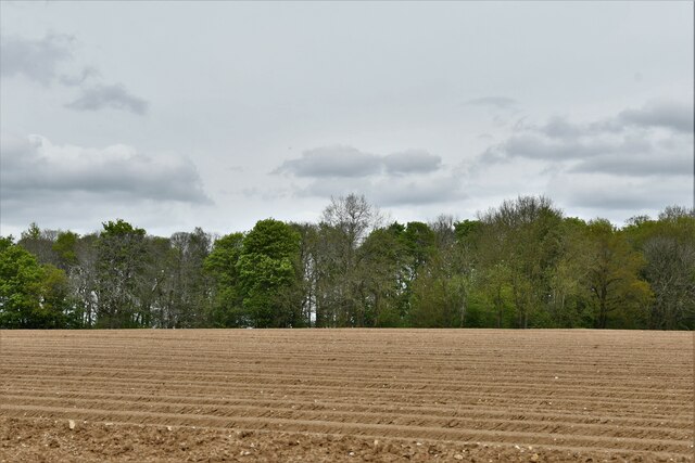
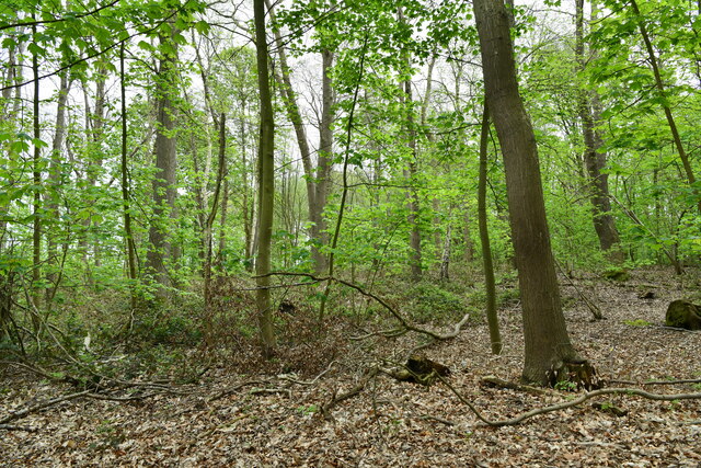
Honingham Images
Images are sourced within 2km of 52.662809/1.120856 or Grid Reference TG1111. Thanks to Geograph Open Source API. All images are credited.


Honingham is located at Grid Ref: TG1111 (Lat: 52.662809, Lng: 1.120856)
Administrative County: Norfolk
District: Broadland
Police Authority: Norfolk
What 3 Words
///paddocks.trustees.corporate. Near Costessey, Norfolk
Nearby Locations
Related Wikis

Honingham Hall
Honingham Hall was a large country house at Honingham in Norfolk. == History == The house was commissioned by Sir Thomas Richardson, Chief Justice of the...

Honingham
Honingham is a village and civil parish in the English county of Norfolk, located 8 miles (13 km) to the west of Norwich along the A47 trunk road. It covers...

Colton, Norfolk
Colton is a village and former civil parish, 8 miles (13 km) west of Norwich, now in the parish of Marlingford and Colton, in the South Norfolk district...

Marlingford and Colton
Marlingford and Colton, formerly Marlingford is a civil parish in the English county of Norfolk, made from the villages of Colton and Marlingford. It covers...

Easton, Norfolk
Easton is a village and civil parish in the English county of Norfolk. The village is located 6.2 miles (10.0 km) north-west of Norwich and 9 miles (14...

East Tuddenham
East Tuddenham is a village in the English county of Norfolk. The village is located 5.6 miles (9.0 km) south-west of Dereham and 9.5 miles (15.3 km) north...

Ringland, Norfolk
Ringland is a village and civil parish in Norfolk, England, and in the valley of the River Wensum, approximately 7 miles (11 km) north-west of Norwich...
Marlingford
Marlingford is a village and former civil parish, 6 miles (9.7 km) west of Norwich, now in the parish of Marlingford and Colton, in the South Norfolk district...
Nearby Amenities
Located within 500m of 52.662809,1.120856Have you been to Honingham?
Leave your review of Honingham below (or comments, questions and feedback).