Church Plantation
Wood, Forest in Norfolk Broadland
England
Church Plantation
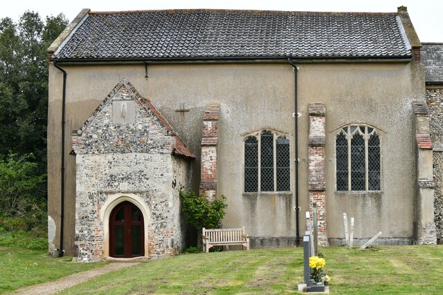
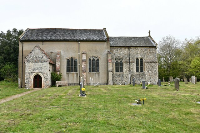
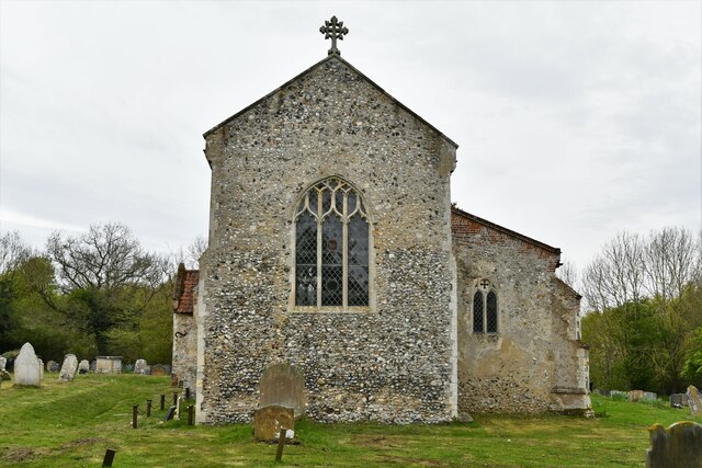
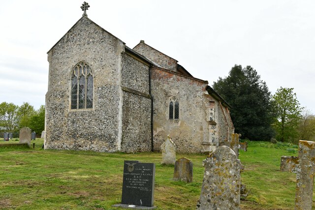
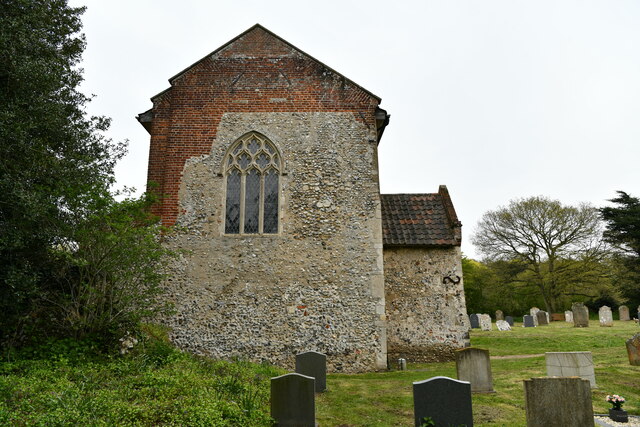
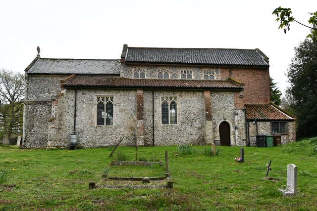
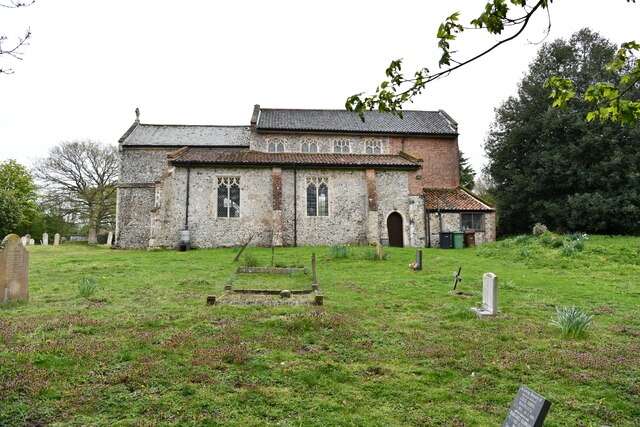
Church Plantation is a historic neighborhood located in Norfolk, Virginia. Situated within the Wood Forest area, this residential community offers a peaceful and serene environment for its residents. The neighborhood is named after the nearby St. Andrews Church, which was established in the early 19th century.
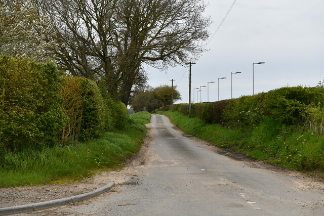
Church Plantation is characterized by its picturesque landscape, as it is surrounded by lush greenery and towering trees. The area features well-maintained streets lined with traditional single-family homes, many of which boast spacious yards and charming architectural designs. The neighborhood exudes a sense of tranquility and seclusion, making it an ideal retreat for those seeking a peaceful suburban lifestyle.
Residents of Church Plantation enjoy a close-knit community atmosphere, with neighbors often participating in local events and activities together. The neighborhood is also known for its strong sense of pride in preserving its historical roots, with many homeowners taking great care in maintaining the original character of their properties.
Despite its peaceful ambiance, Church Plantation is conveniently located near various amenities and attractions. The nearby Norfolk Botanical Garden offers a beautiful escape for nature enthusiasts, while the Norfolk International Airport provides easy access to travel. Additionally, the neighborhood is just a short drive away from downtown Norfolk, where residents can enjoy a vibrant arts and cultural scene, as well as a wide range of dining and entertainment options.
In summary, Church Plantation in Norfolk, Virginia, is a highly desirable residential neighborhood. With its serene surroundings, strong community spirit, and convenient location, it offers an attractive lifestyle for its residents.
If you have any feedback on the listing, please let us know in the comments section below.
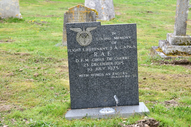
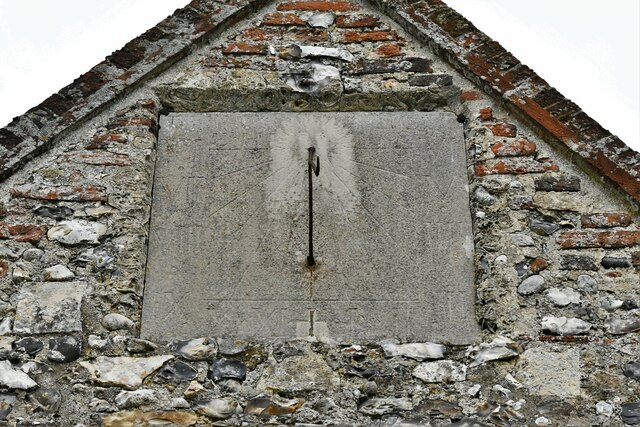
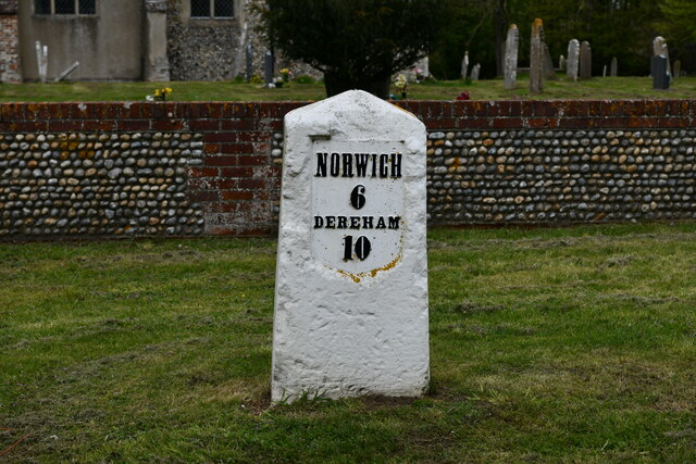
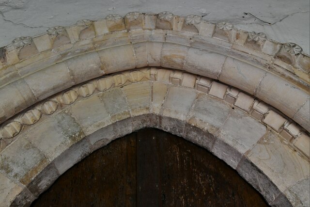
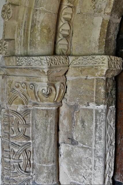
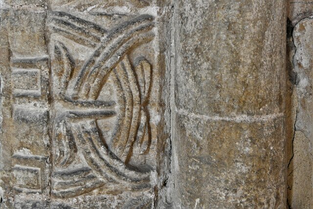
Church Plantation Images
Images are sourced within 2km of 52.659489/1.128271 or Grid Reference TG1111. Thanks to Geograph Open Source API. All images are credited.


Church Plantation is located at Grid Ref: TG1111 (Lat: 52.659489, Lng: 1.128271)
Administrative County: Norfolk
District: Broadland
Police Authority: Norfolk
What 3 Words
///multiple.treatment.vent. Near Costessey, Norfolk
Nearby Locations
Related Wikis

Honingham Hall
Honingham Hall was a large country house at Honingham in Norfolk. == History == The house was commissioned by Sir Thomas Richardson, Chief Justice of the...

Honingham
Honingham is a village and civil parish in the English county of Norfolk, located 8 miles (13 km) to the west of Norwich along the A47 trunk road. It covers...

Colton, Norfolk
Colton is a village and former civil parish, 8 miles (13 km) west of Norwich, now in the parish of Marlingford and Colton, in the South Norfolk district...

Marlingford and Colton
Marlingford and Colton, formerly Marlingford is a civil parish in the English county of Norfolk, made from the villages of Colton and Marlingford. It covers...

Easton, Norfolk
Easton is a village and civil parish in the English county of Norfolk. The village is located 6.2 miles (10.0 km) north-west of Norwich and 9 miles (14...
Marlingford
Marlingford is a village and former civil parish, 6 miles (9.7 km) west of Norwich, now in the parish of Marlingford and Colton, in the South Norfolk district...
Easton College
Easton College is a college of further and higher education in Norfolk, United Kingdom. It is located on a 200-hectare (490-acre) campus in the village...

Ringland, Norfolk
Ringland is a village and civil parish in Norfolk, England, and in the valley of the River Wensum, approximately 7 miles (11 km) north-west of Norwich...
Nearby Amenities
Located within 500m of 52.659489,1.128271Have you been to Church Plantation?
Leave your review of Church Plantation below (or comments, questions and feedback).