Hixon
Civil Parish in Staffordshire Stafford
England
Hixon
Hixon is a civil parish located in Staffordshire, England. It is situated about 6 miles north of the county town of Stafford and 8 miles south-west of Uttoxeter. The village is nestled on the eastern bank of the River Trent, providing picturesque views and a serene environment.
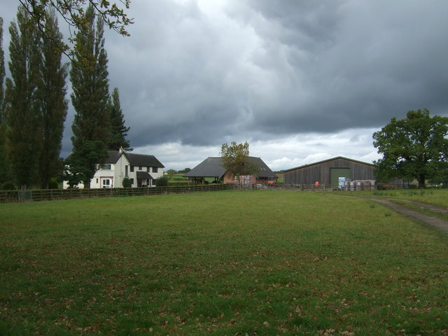
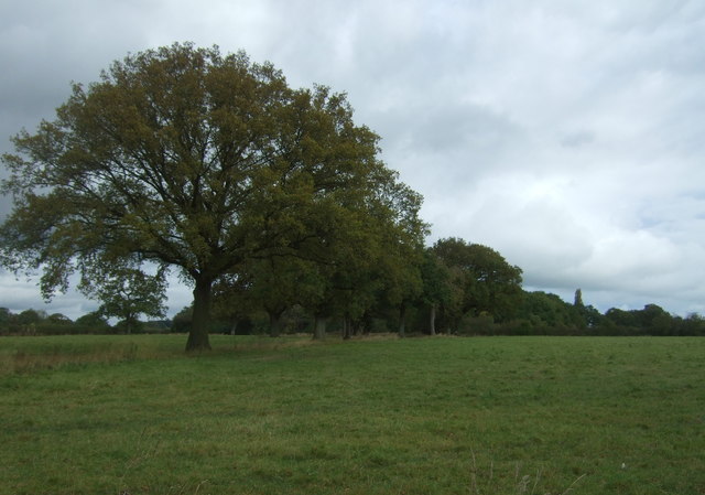
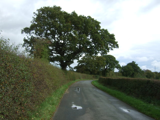
Hixon is primarily a rural area with a small population. The parish consists of a mix of residential dwellings and agricultural land, giving it a charming countryside feel. The village is well-connected, with the A51 road passing through, providing easy access to nearby towns and cities.
One notable feature of Hixon is the Royal Air Force (RAF) base located on the outskirts of the village. The base, known as RAF Hixon, was operational during World War II and played a significant role in the defense of the country. Today, it is no longer in use by the RAF but continues to be utilized by the Ministry of Defence.
The village has a primary school, Hixon CofE Primary School, which serves the local community. It provides education for children aged 4-11 and has a good reputation for its academic standards.
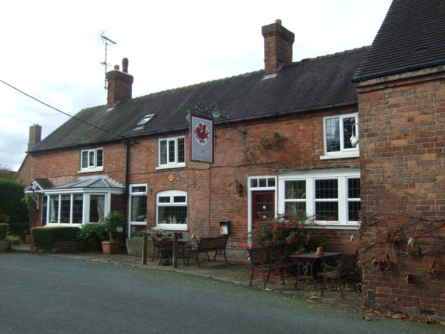
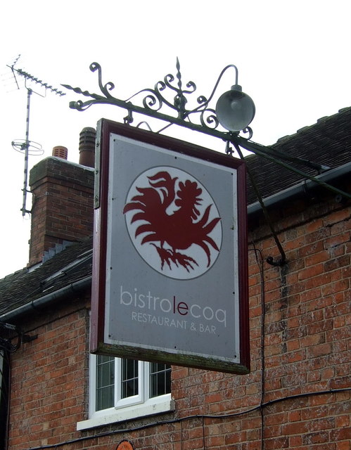
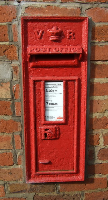
In terms of amenities, Hixon has a few local shops, a post office, and a village hall that serves as a community hub for various events and activities. The village also benefits from its proximity to larger towns, where residents can access a wider range of services and facilities.
Overall, Hixon offers a peaceful and idyllic setting for its residents, with its rural charm and close-knit community feel.
If you have any feedback on the listing, please let us know in the comments section below.
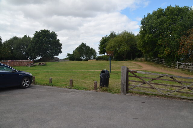
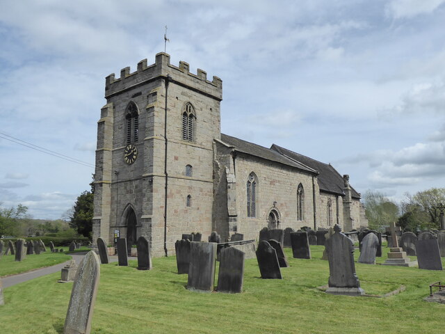
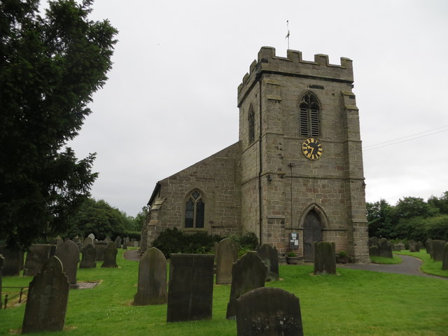
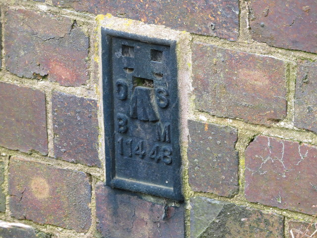
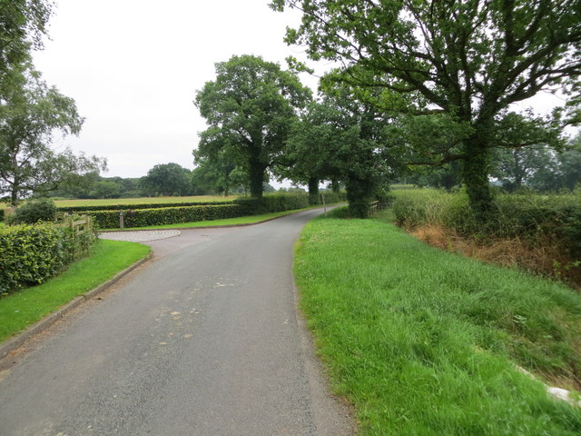
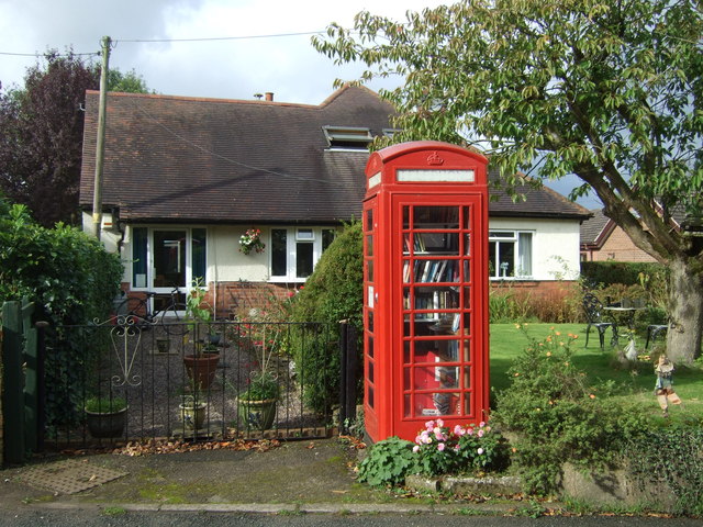
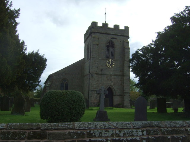
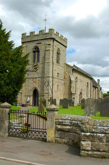
Hixon Images
Images are sourced within 2km of 52.826753/-1.990795 or Grid Reference SK0025. Thanks to Geograph Open Source API. All images are credited.


Hixon is located at Grid Ref: SK0025 (Lat: 52.826753, Lng: -1.990795)
Administrative County: Staffordshire
District: Stafford
Police Authority: Staffordshire
What 3 Words
///pranced.router.fraction. Near Great Haywood, Staffordshire
Related Wikis

Hixon, Staffordshire
Hixon is a village and a civil parish in the English county of Staffordshire.grid reference SK003259 == Location == The village is 7.8 miles (12.6 km)...
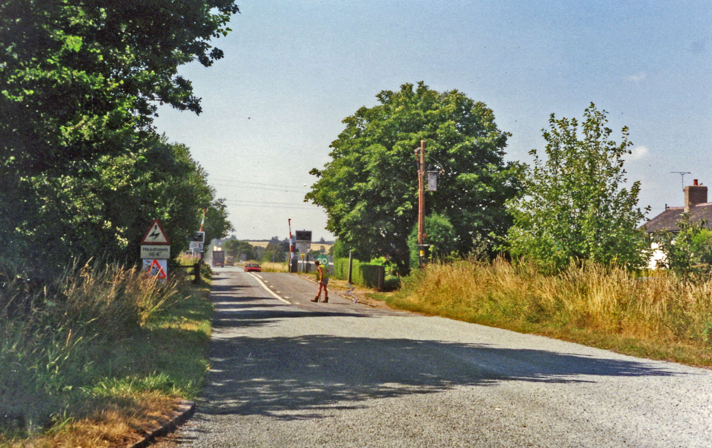
Hixon railway station
Hixon railway station is a disused railway station in Staffordshire, England. The railway line between Stone and Colwich was opened by the North Staffordshire...

Hixon rail crash
On 6 January 1968, a low-loader transporter carrying a 120-ton electrical transformer was struck by a British Rail express train on a recently installed...
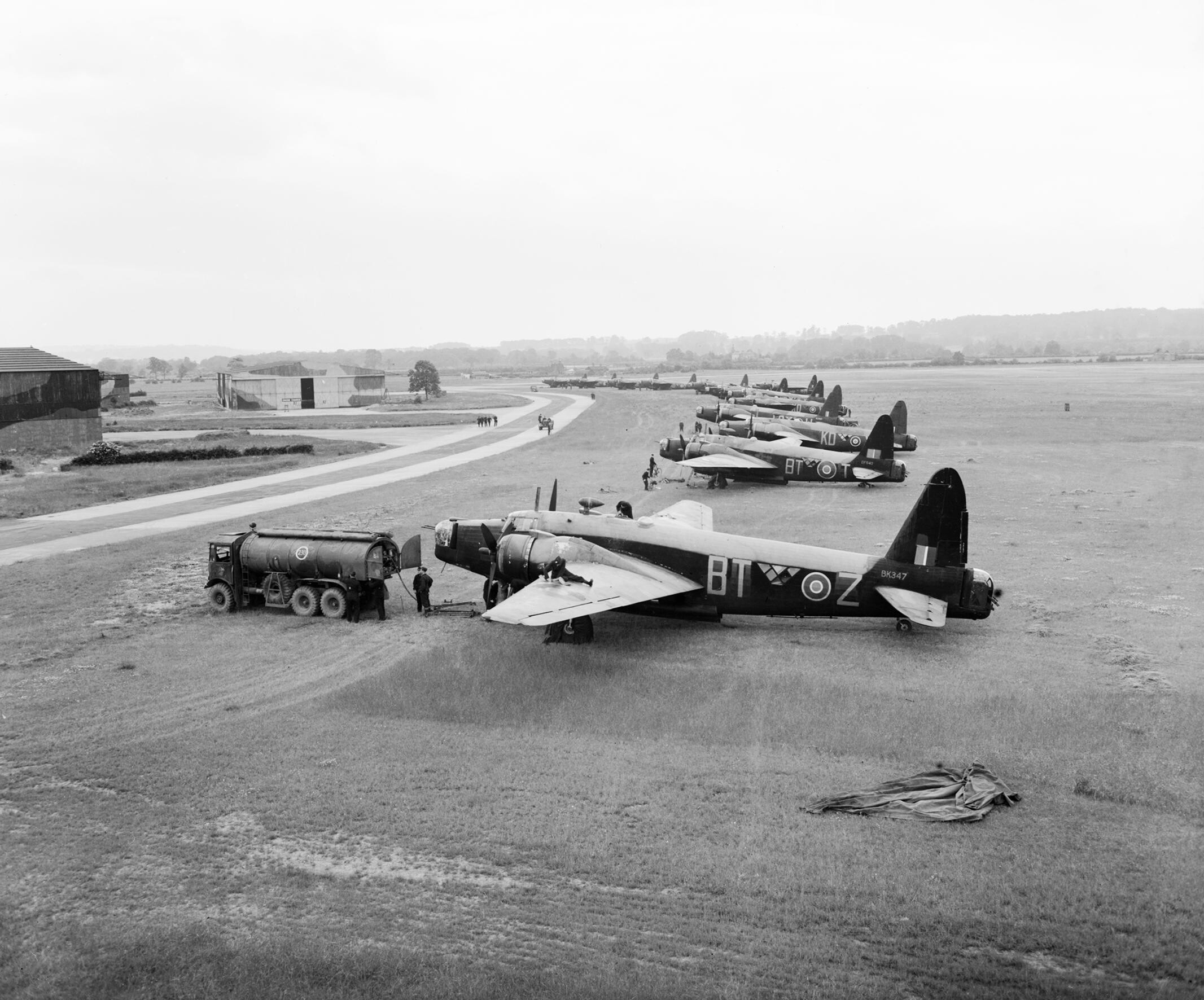
RAF Hixon
Royal Air Force Hixon, or more simply RAF Hixon, was a Royal Air Force station located on the north western edge of the village of Hixon in Staffordshire...

RAF Seighford
Royal Air Force Seighford or more simply RAF Seighford is a former Royal Air Force satellite station located 3.6 miles (5.8 km) northwest of Stafford,...
Stowe-by-Chartley
Stowe-by-Chartley is a village and civil parish in the Borough of Stafford, Staffordshire, England. According to the parish council, the parish includes...

Amerton
Amerton is a small village in the Borough of Stafford, Staffordshire, England, situated on the A518 road between Stafford and Uttoxeter. The population...

Chartley railway station
Chartley railway station was a former British railway station to serve the village of Stowe-by-Chartley in Staffordshire. It was opened by the Stafford...
Related Videos

Walking The Staffordshire and Worcestershire Canal (Part 1)
The first part of my walk along the towpath of the Staffordshire and Worcestershire Canal. Starting at the Northerly end at Great ...

Exploring abandoned Chartley Castle - Hiking and History #2 (Chartley Castle)
Join me as I explore the remains of the near 1000-year-old Chartley Castle in Staffordshire. From Bronze Age tribes and Norman ...

Great Haywood Canal Walk.
A gentle and informative walk along the Staffordshire and Worcestershire canal. Starting at Great Haywood and including Tixall ...
I got some coal in the end
Just my usual morning routine of a) getting up b) making coffee and c)buying coal. Filmed on iPhone 11 Pro and edited using ...
Nearby Amenities
Located within 500m of 52.826753,-1.990795Have you been to Hixon?
Leave your review of Hixon below (or comments, questions and feedback).