Hinderclay

Civil Parish in Suffolk Mid Suffolk

England

Hinderclay

Abandoned house near Bridge Farm
Abandoned house near Bridge Farm Credit: Andrew Longton

Hinderclay is a small civil parish located in the county of Suffolk, in eastern England. Situated in the district of Mid Suffolk, the parish covers an area of approximately 3.5 square miles. The village of Hinderclay itself is a tight-knit community with a population of around 200 residents.

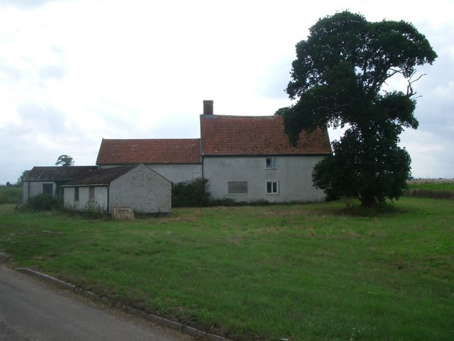
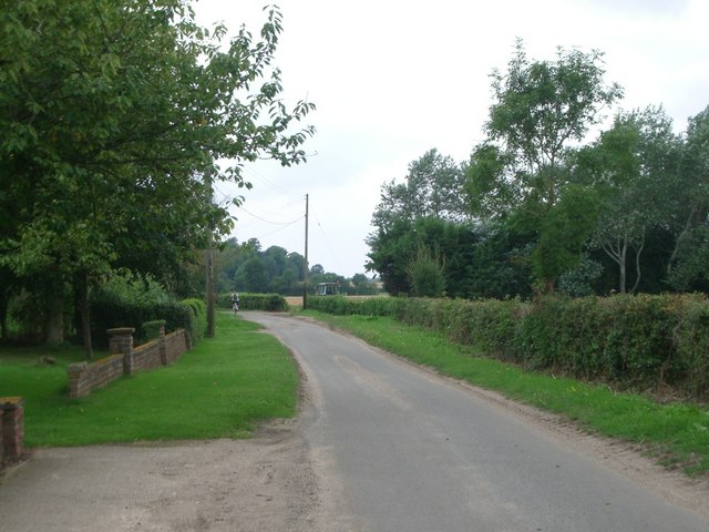
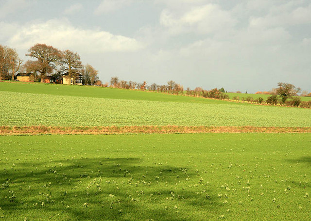
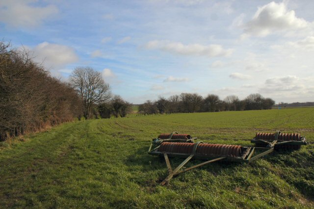
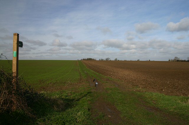
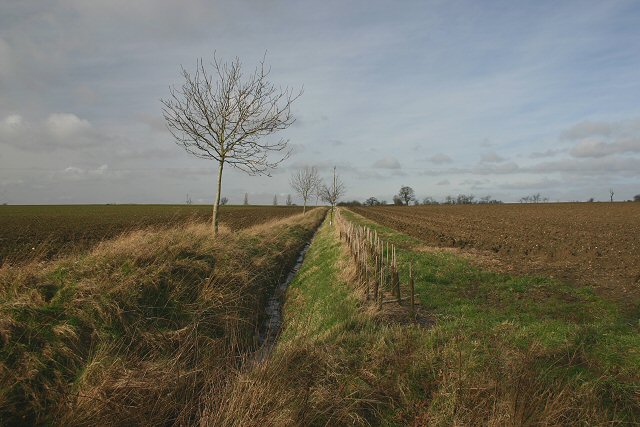
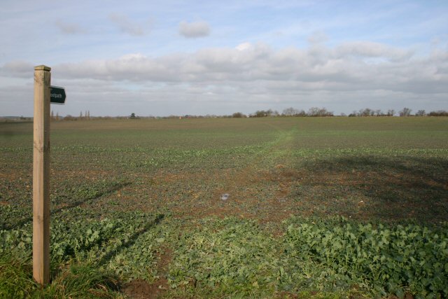
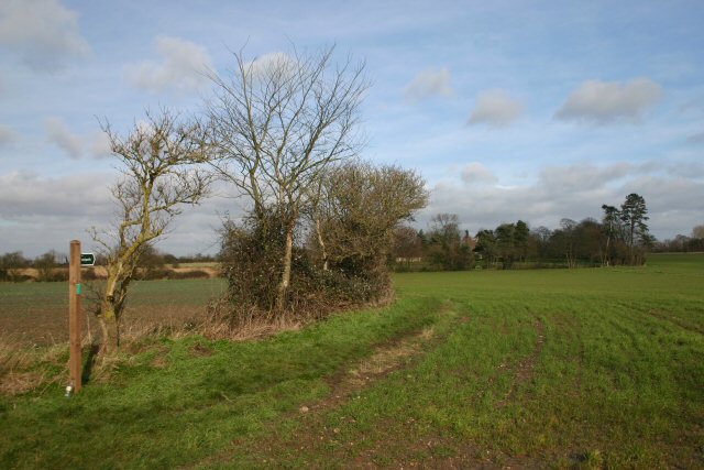
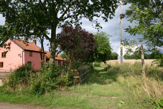
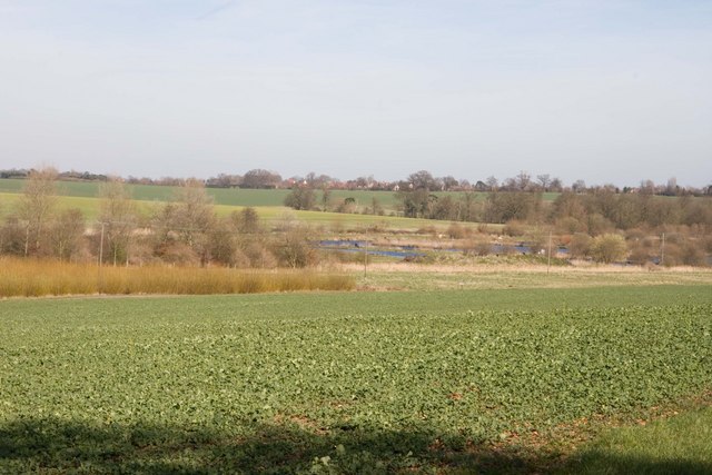
The parish is surrounded by picturesque countryside, characterized by rolling hills, open fields, and patches of woodland. The landscape is dotted with charming cottages and farmhouses, reflecting the area's agricultural heritage. The village is situated on the B1111 road, providing easy access to nearby towns and villages.

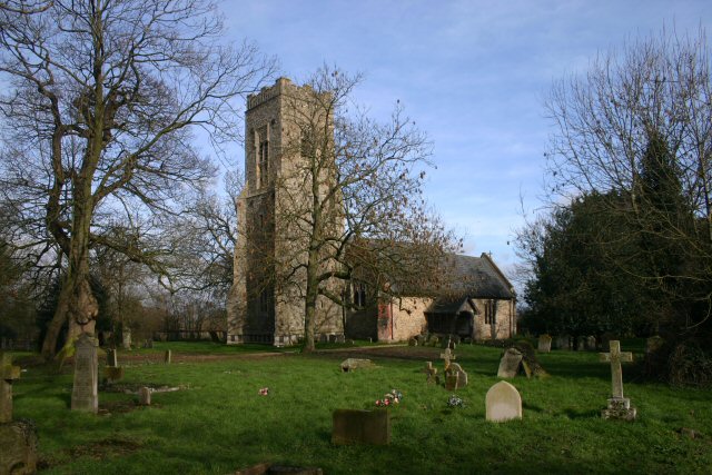
Despite its small size, Hinderclay offers a range of amenities for its residents. These include a village hall, which serves as a hub for community activities and events, and a local pub, providing a gathering place for locals and visitors alike. The parish also boasts a primary school, ensuring that young families have access to education within the village.

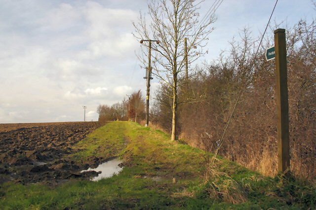
The surrounding area offers a wealth of opportunities for outdoor activities, with numerous footpaths and bridleways crisscrossing the countryside. Hinderclay is also conveniently located near the popular Thetford Forest Park, which offers a plethora of recreational activities, including walking, cycling, and wildlife spotting.

Overall, Hinderclay, Suffolk, is a peaceful and picturesque civil parish that provides a close-knit community and a beautiful natural environment for its residents to enjoy.

If you have any feedback on the listing, please let us know in the comments section below.
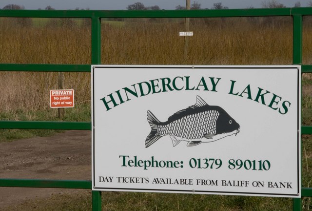
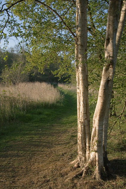
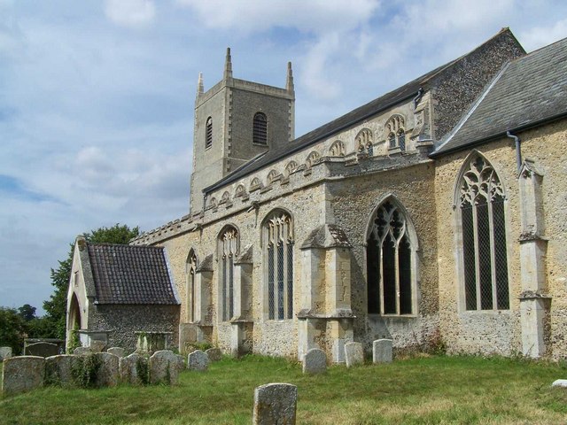
Hinderclay Images

Images are sourced within 2km of 52.354146/0.971852 or Grid Reference TM0277. Thanks to Geograph Open Source API. All images are credited.

Abandoned house near Bridge Farm
Fen Road at Holiday Farm
Visitors not welcome
Wood House, Rickinghall
Next year's corn
Next year's corn
Byway to Hinderclay Leading southwards from Crackthorn Corner.
Byway to Hinderclay
Leading southwards from Crackthorn Corner.
Byway to Holiday Farm This byway leads north towards Thelnetham from a minor road junction at Hinderclay.
Byway to Holiday Farm
This byway leads north towards Thelnetham from a minor road junction at Hinderclay.
Hinderclay Church St Mary's Church, Hinderclay. <span class="nowrap"><a title="http://www.suffolkchurches.co.uk/hinderclay.htm" rel="nofollow ugc noopener" href="http://www.suffolkchurches.co.uk/hinderclay.htm">Link</a><img style="margin-left:2px;" alt="External link" title="External link - shift click to open in new window" src="https://s1.geograph.org.uk/img/external.png" width="10" height="10"/></span>
Hinderclay Church
St Mary's Church, Hinderclay. LinkExternal link
Footpath to Hopton This path leads north westwards from the minor road between Thelnetham and Hepworth at Thripskin Farm.
Footpath to Hopton
This path leads north westwards from the minor road between Thelnetham and Hepworth at Thripskin Farm.
Ploughed field near Thelnetham Looking north from opposite Thripskin Farm.
Ploughed field near Thelnetham
Looking north from opposite Thripskin Farm.
Fields and ditch near Thelnetham Looking north west from the minor road between Thelnetham and Hepworth.
Fields and ditch near Thelnetham
Looking north west from the minor road between Thelnetham and Hepworth.
Footpath to Thripskin Farm This path leads north from a minor road between Market Weston and Wattisfield.
Footpath to Thripskin Farm
This path leads north from a minor road between Market Weston and Wattisfield.
Footpath to Hinderclay This path leads north eastwards from the minor road between Market Weston and Wattisfield.
Footpath to Hinderclay
This path leads north eastwards from the minor road between Market Weston and Wattisfield.
Byway to Hinderclay This byway, which later becomes a bridleway, leads eastwards from the minor road between Market Weston and Wattisfield.
Byway to Hinderclay
This byway, which later becomes a bridleway, leads eastwards from the minor road between Market Weston and Wattisfield.
Hinderclay Lakes The lakes are still being created by the extraction of peat which is sold for use on gardens. The willow seen in the left middle distance is being grown for biofuel and also provides a welcome hiding place for deer. <a href="https://www.geograph.org.uk/photo/361862">TM0376 : Entrance to Hinderclay Lakes</a>

The village of Redgrave is visible on the horizon.
Hinderclay Lakes
The lakes are still being created by the extraction of peat which is sold for use on gardens. The willow seen in the left middle distance is being grown for biofuel and also provides a welcome hiding place for deer. TM0376 : Entrance to Hinderclay Lakes The village of Redgrave is visible on the horizon.
Entrance to Hinderclay Lakes A general view of the lake can be found at <a href="https://www.geograph.org.uk/photo/361852">TM0376 : Hinderclay Lakes</a>
Entrance to Hinderclay Lakes
A general view of the lake can be found at TM0376 : Hinderclay Lakes
Thelnetham Fen A site of Special Scientific Interest part of which is managed by the Suffolk Wildlife Trust
<span class="nowrap"><a title="http://www.suffolkwildlifetrust.org/reserves/thelnetham-fen" rel="nofollow ugc noopener" href="http://www.suffolkwildlifetrust.org/reserves/thelnetham-fen">Link</a><img style="margin-left:2px;" alt="External link" title="External link - shift click to open in new window" src="https://s1.geograph.org.uk/img/external.png" width="10" height="10"/></span>
Thelnetham Fen
A site of Special Scientific Interest part of which is managed by the Suffolk Wildlife Trust LinkExternal link
Small Bridge Small bridge on minor near to Hinderclay, Suffolk.
Small Bridge
Small bridge on minor near to Hinderclay, Suffolk.
Show me another place!

Hinderclay is located at Grid Ref: TM0277 (Lat: 52.354146, Lng: 0.971852)

Administrative County: Suffolk

District: Mid Suffolk

Police Authority: Suffolk

What 3 Words

///retrieves.pilots.shallower. Near Rickinghall, Suffolk

Related Wikis

Hinderclay

Hinderclay is a village and civil parish in the Mid Suffolk district of Suffolk in eastern England. The village is located around 14 miles (23 km) - from...

Thelnetham

Thelnetham is a village and civil parish in the West Suffolk district of Suffolk in eastern England. Located on the southern bank of the River Little Ouse...

Blo' Norton and Thelnetham Fens

Blo' Norton and Thelnetham Fens are a 21.3-hectare (53-acre) biological Site of Special Scientific Interest (SSSI) on the Norfolk/Suffolk border. Blo'...

Redgrave, Suffolk

Redgrave is a village and civil parish in Suffolk, England, just south of the River Waveney that here forms the county boundary with Norfolk. The village...

Nearby Amenities

Located within 500m of 52.354146,0.971852
Hinderclay
Place: village
Source: npe
Wikidata: Q1816876
Lat/Long: 52.3528655/0.9745667
Booth: K6
Covered: booth
Disused Amenity: telephone
Man Made: telephone_box
Note: Magazine Exchange. No phone inside
Lat/Long: 52.3523015/0.9730963
Post Box
Collection Times: Mo-Fr 15:15; Sa 08:00
Post Box Type: lamp
Ref: IP22 7031
Royal Cypher: EIIR
Royal Cypher Wikidata: Q33102113
Lat/Long: 52.3520696/0.9701056
Recycling
Recycling Clothes: yes
Recycling Glass: no
Recycling Glass Bottles: yes
Recycling Paper: yes
Recycling Shoes: yes
Recycling Type: container
Lat/Long: 52.3529109/0.9725714
Bus Stop
Bus Shelter
Naptan AtcoCode: 390040277
Naptan Bearing: SW
Naptan CommonName: Bus Shelter
Naptan Indicator: o/s
Naptan Landmark: Bus Shelter
Naptan NaptanCode: sufawjwm
Naptan Street: The Street
Shelter: yes
Source: naptan_import;survey
Lat/Long: 52.3526332/0.9725464
Bus Stop
Bus Shelter
Naptan AtcoCode: 390040278
Naptan Bearing: SE
Naptan BusStopType: CUS
Naptan CommonName: Bus Shelter
Naptan Indicator: opp
Naptan Landmark: Bus Shelter
Naptan NaptanCode: sufawjwp
Naptan Street: Rickinghall Road
Naptan Verified: no
Source: naptan_import
Lat/Long: 52.3528068/0.9726486
Bus Stop
Crown Inn
Naptan AtcoCode: 390041014
Naptan Bearing: NE
Naptan BusStopType: CUS
Naptan CommonName: Crown Inn
Naptan Indicator: opp
Naptan Landmark: Crown Inn
Naptan NaptanCode: sufjpdpa
Naptan Street: The Street
Naptan Verified: no
Source: naptan_import
Lat/Long: 52.3516081/0.9681033
Bus Stop
Crown Inn
Naptan AtcoCode: 390041015
Naptan Bearing: SW
Naptan BusStopType: CUS
Naptan CommonName: Crown Inn
Naptan Indicator: adj
Naptan Landmark: Crown Inn
Naptan NaptanCode: sufjpdmw
Naptan Street: The Street
Naptan Verified: no
Source: naptan_import
Lat/Long: 52.3515317/0.9681486
Raven Stoves
Addr Housename: Crown House
Addr Postcode: IP22 1HX
Addr Street: The Street
Shop: stoves
Url: http://www.ravenstoves.co.uk/
Lat/Long: 52.3514632/0.9682586
Barrier: cycle_barrier
Bicycle: yes
Foot: yes
Lat/Long: 52.3525077/0.9728689
Hinderclay
Man Made: village_sign
Lat/Long: 52.3526087/0.9726054
Barrier: cycle_barrier
Bicycle: yes
Foot: yes
Lat/Long: 52.3525477/0.9723324
War Memorial
Description: Polished brass plaque fixed to church wall inside.
Historic: memorial
Inscription: In Memoriam 1914-1918 1939-1945 (20 mens names listed).
Lat/Long: 52.3521347/0.9749482
Waste Basket
Waste: dog_excrement
Lat/Long: 52.3528198/0.9726605
Grit Bin
Lat/Long: 52.3528198/0.9726374
Bench
Backrest: yes
Material: wood
Seats: 1
Lat/Long: 52.3525472/0.9725904
Bench
Backrest: yes
Material: plastic
Seats: 3
Lat/Long: 52.3525195/0.9724235
Information: board
Tourism: information
Lat/Long: 52.3525073/0.9726481
Information: board
Tourism: information
Lat/Long: 52.352515/0.9725214
Waste Basket
Lat/Long: 52.3525069/0.9726126
Bench
Lat/Long: 52.3535308/0.9729365
Basketball: hoop
Hoops: 1
Leisure: pitch
Sport: basketball
Lat/Long: 52.3530827/0.9725455
Bench
Lat/Long: 52.3531061/0.9726092
Defibrillator
Defibrillator Location: On exterior wall of Hinderclay Village Hall, facing the car park, just to the left of the main entrance.
Emergency: defibrillator
Indoor: no
Ref GB The Circuit: 7DECCE0C-18AE-48C2-9B5D-B00500D8AC20
Lat/Long: 52.3530928/0.97289
Entrance: main
Lat/Long: 52.3531052/0.9729136
Entrance: yes
Lat/Long: 52.3531066/0.9727014
Turning Circle
Lat/Long: 52.3507096/0.9733146
Turning Circle
Lat/Long: 52.3508079/0.973379
The data included in this document is from www.openstreetmap.org. The data is made available under ODbL.

Have you been to Hinderclay?

Leave your review of Hinderclay below (or comments, questions and feedback).