Thorpe Street
Downs, Moorland in Suffolk Mid Suffolk
England
Thorpe Street
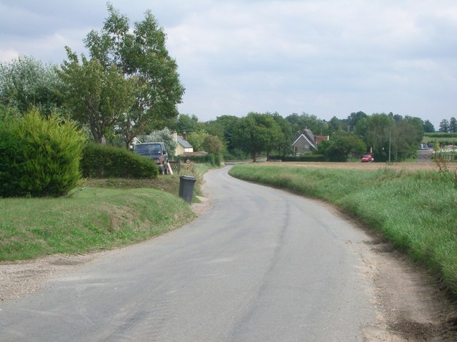
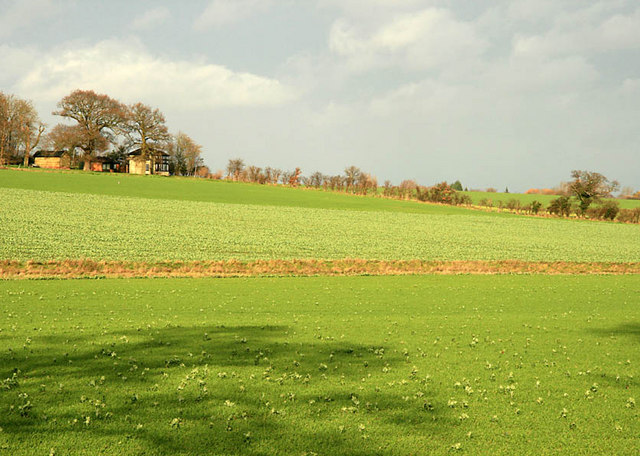
Thorpe Street is a small village located in the county of Suffolk, England. Nestled in the picturesque countryside, it is surrounded by the beautiful landscapes of Downs and Moorland. The village is known for its tranquil atmosphere and idyllic setting, making it a popular destination for those seeking a peaceful retreat.
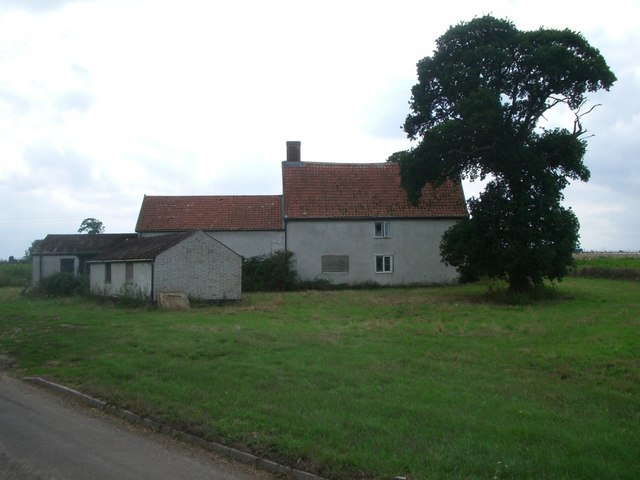
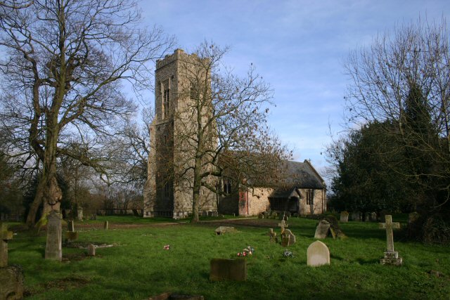
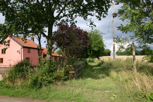
The village itself is characterized by its charming cottages, many of which date back to the 18th and 19th centuries. These traditional houses are made of local materials, such as red brick and timber, adding to the village's rustic charm. The streets are lined with well-maintained gardens, bursting with colorful flowers during the spring and summer months.
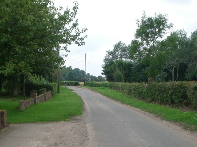
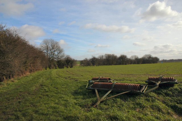
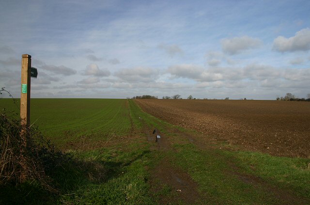
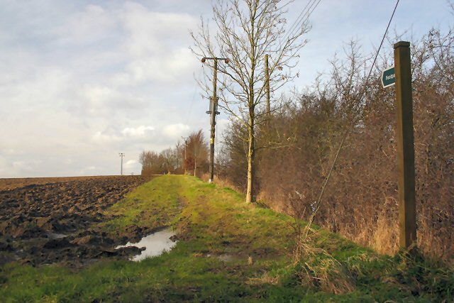
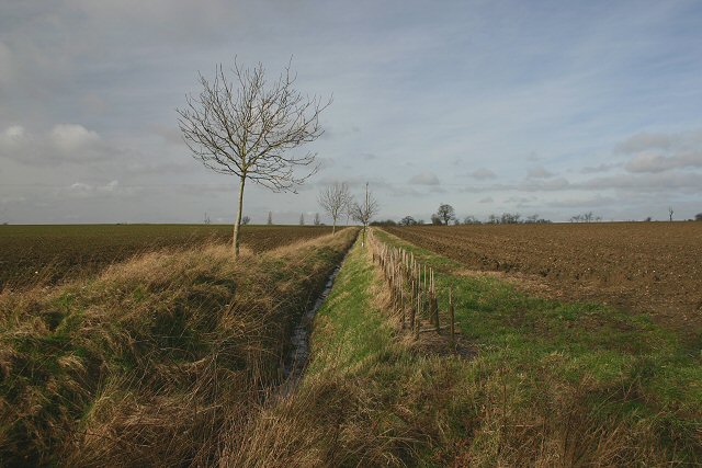
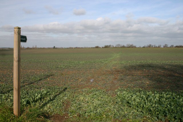
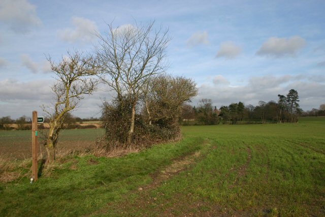
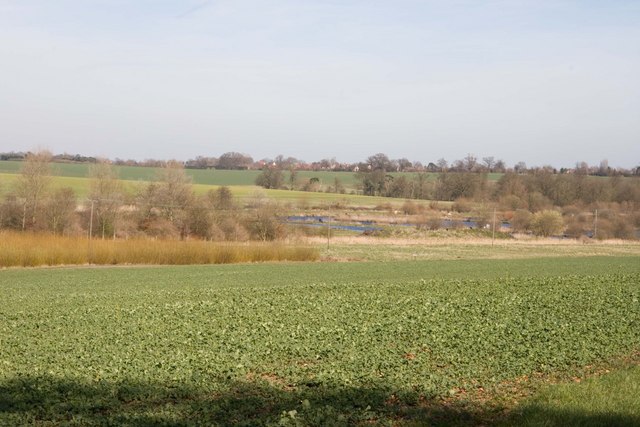
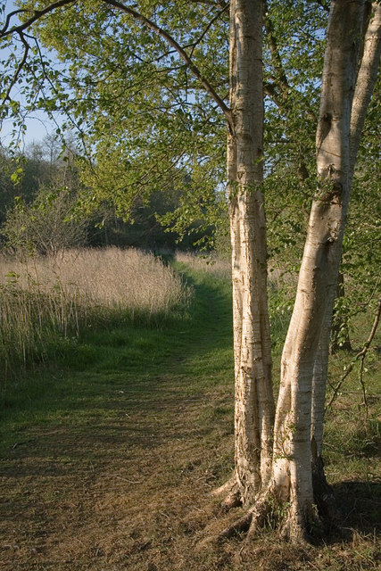
One of the standout features of Thorpe Street is its close proximity to the Downs and Moorland. These areas offer a wealth of natural beauty, with rolling hills, open fields, and meandering footpaths. Hikers and nature enthusiasts can explore the various trails, enjoying breathtaking views of the surrounding countryside.
The village also benefits from a strong sense of community. Residents take pride in their local heritage and often organize events and activities to bring the community together. The village hall serves as a hub for social gatherings, hosting events such as fairs, concerts, and community meetings.
In terms of amenities, Thorpe Street has a small convenience store that caters to the daily needs of residents. However, for a wider range of amenities, the nearby town of Suffolk offers a variety of shops, restaurants, and leisure facilities.
Overall, Thorpe Street offers a peaceful and picturesque setting, with its charming cottages, stunning landscapes, and strong sense of community. It is an ideal destination for those seeking a serene countryside retreat.
If you have any feedback on the listing, please let us know in the comments section below.
Thorpe Street Images
Images are sourced within 2km of 52.358307/0.96738193 or Grid Reference TM0277. Thanks to Geograph Open Source API. All images are credited.

Thorpe Street is located at Grid Ref: TM0277 (Lat: 52.358307, Lng: 0.96738193)
Administrative County: Suffolk
District: Mid Suffolk
Police Authority: Suffolk
What 3 Words
///football.obliging.nights. Near Rickinghall, Suffolk
Nearby Locations
Related Wikis

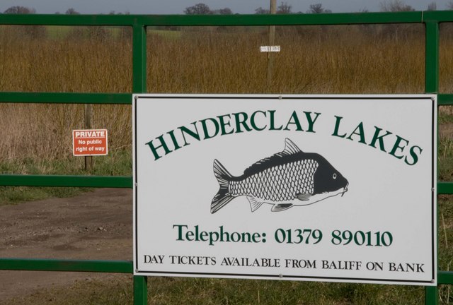
Hinderclay
Hinderclay is a village and civil parish in the Mid Suffolk district of Suffolk in eastern England. The village is located around 14 miles (23 km) - from...

Thelnetham
Thelnetham is a village and civil parish in the West Suffolk district of Suffolk in eastern England. Located on the southern bank of the River Little Ouse...

Blo' Norton and Thelnetham Fens
Blo' Norton and Thelnetham Fens are a 21.3-hectare (53-acre) biological Site of Special Scientific Interest (SSSI) on the Norfolk/Suffolk border. Blo'...
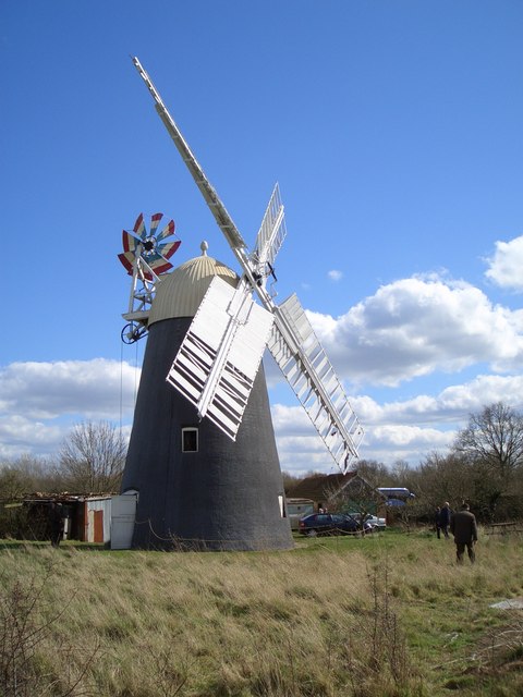
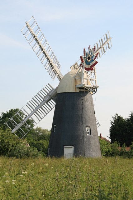
Thelnetham Windmill
Thelnetham Windmill, also known as Button's Mill is a Grade II* listed tower mill constructed of brick. The windmill is located at Thelnetham, Suffolk...
Nearby Amenities
Located within 500m of 52.358307,0.96738193Have you been to Thorpe Street?
Leave your review of Thorpe Street below (or comments, questions and feedback).